Bxstormwatcher360
-
Posts
780 -
Joined
-
Last visited
Content Type
Profiles
Blogs
Forums
American Weather
Media Demo
Store
Gallery
Everything posted by Bxstormwatcher360
-
This beast is turning north folks. Nne now. The bm run.
-
Same here with more to come.
-
You'll be at 19+ by 6 am ,if not sooner.
-
Oh its there. Its slow moving at that.
-
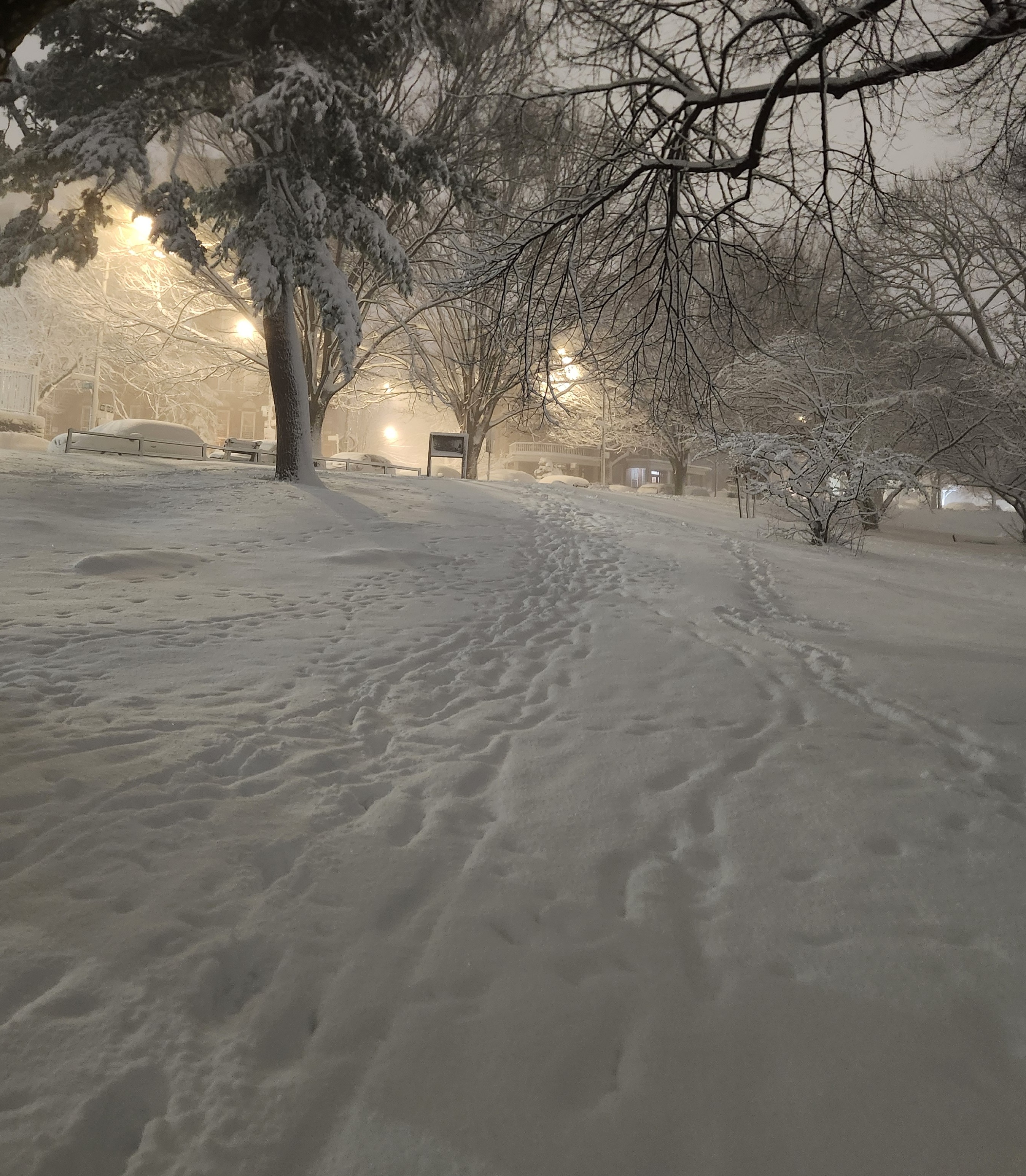
Its hard to measure between winds and compaction. Might be more then 13 inches tbh. Its insane outside rn..feeder band right in to northern queens and the bronx rn.
-
Shin level snow outside rn.. its driving windblown snow at that. 12 to 13+ out there..drifting everywhere.
-
Nyc is already past the halfway point to 20 inches. Its 1130 pm
-
Nicee..seems to be good totals around the area. All double digits unless you were in subsidence.
-
That band has to swing over us before the event ends. Absolute crush job.!!
-
Sounds about right,I measured 9.7..def over 10 inches by now here in the bronx.
-
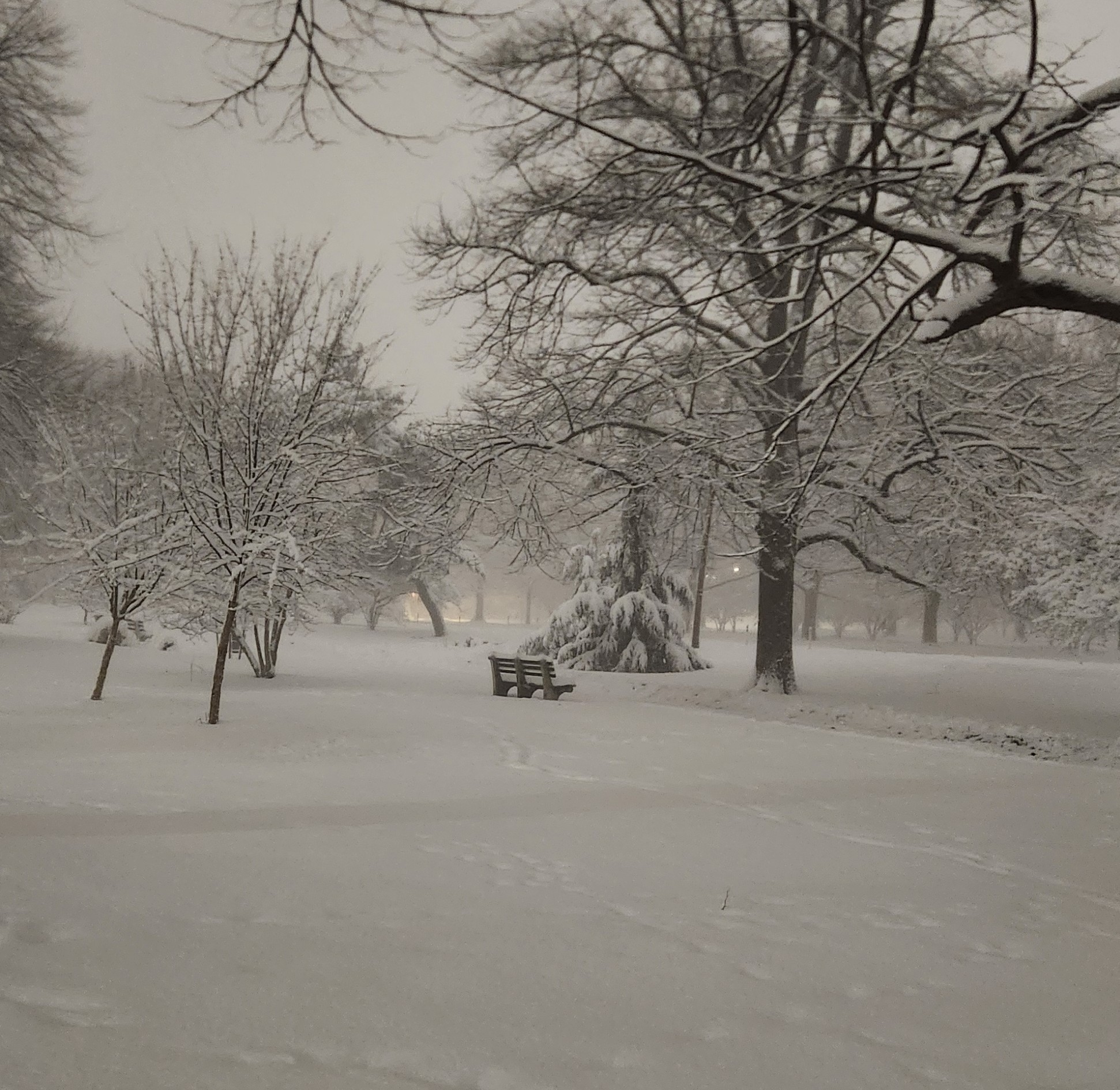
20+ inches seems like a lock here. I was shocked to see how deep the snow was,all new accumulation too.
-

-
Yep that's a lot of snow..9+ down..took some pics on my jebwalk.
-
Weenie band sitting on top of nyc rn.
-
Just heard the weirdest sounds in the sky..sounded like thunder but consecutively.??..wtf!!..i dunno if anyone else heard it over the city.
-
Ok..sounds much better ..I was about to say.
-
13 inches for my area??..sounds good..only problem is Im approaching half of that fast. 5.2 down already. Hvy snow currently..weenie band 15 mins away.
-
The bands are incoming slowly. We are getting wrecked up here in the bx in a band within a band but when that li weenie band lifts in to nyc you'll get it too.
-
Weenie bands are incoming for nyc. Esp the one stretching across li..its coming in to the city soon.
-
They are moving inland,slowly at that. Li gets cracked either way.
-
Currently getting walloped here. About 2.3 down..1.1 last hour.
-
Dude between usa hockey and this weather channel beauty..my nostalgia level is at a all time high. We are re-living history.
-
Aww mayne the memories this graphic brings to this 42 year old man eyes. The simpler days are truely missed.
-
Or brown .
-
I was saying this too,although everybody kept saying heavy wet snow,rn its not that. Thats what we mean when we say that. Its busting in a good way,so no complaints here.