RUNNAWAYICEBERG
-
Posts
32,907 -
Joined
-
Last visited
Content Type
Profiles
Blogs
Forums
American Weather
Media Demo
Store
Gallery
Everything posted by RUNNAWAYICEBERG
-
Congrats Stowe. A bit too much ip for central NNE imo.
-
Folks have been really busy installing window units, forgive them.
-
There was only like 4 really nice days over the first 17 days anyway. Like yesterday was +5 but it was cold with clouds and wind. Same for earlier in the month. Nobody cares 3/5 was AN when +5 is still chilly and if clouds and rain, forget it.
-
Junior just passed out, drunk…
-
24F as Grass seeds rot on lawns east of BDL.
-
We all knew except one or two lonely drunks.
-
Keg stands…
-
38 and rain now but wife torching inside the house to 70.
-
Yes thanks and welcome back.
-
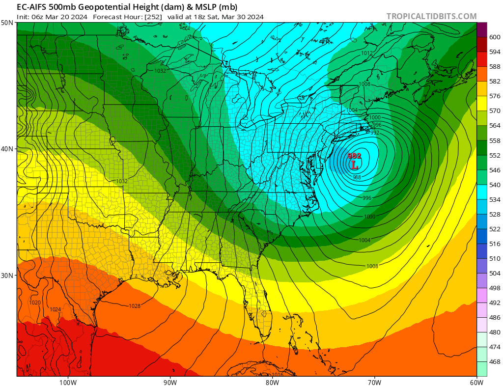
Looks great for Nancy:

-
Oh yea it’s AN today based off numbers but I wonder how many folks have windows down with arms floating out singing at top of lungs.
-
And +10 first 15 days of the month is drastically different than +10 over the last 15 days.
-
Another chilly day out there. Cloudy and breezy. Was doing yard work during lunch but fingers get cold. 2012 lives on…
-
Coming from you this is so LOL…
-
That’s something Nancy Reagan in Tolland would say…
-
I’m just referring to how people generally view the seasons. No one I know has ever recalled a summer that was below normal because heat is heat generally speaking. Whether it is 85 or 95, people are out doing summer things and will recall the summer based on rain/no rain rather than AN or BN temps. However, winter is completely different. People I know recall winters as “bad” (cold and snowy) or “not bad” (warm and minimal snow). Winter temps stick out much more than summer temps because a 10F difference in the summer is barely noticeable compared to a 10F difference in winter which may coincide with precip type. Both of my closest neighbors we share a private road know the past two winters are warm and snowless which is obvious because we all chip in for plowing. We’ve barely needed the service. But if you ask them how have the past two summers been, they’ll shrug and say hot.
-
We’ll let them rub their bellies with first half of month positive departure maps. I hope we don’t let this current stuff hang around in April though.
-
So happy everyone away from the coast installed and seeded with lows below freezing for several nights this week.
-
Only if you move to West Palm Beach.
-
Underage drinking ftw
-
Disagree. All summers are hot but not all winters are cold.
-
Yea that’s what it’s felt like. AN daily maxes but nothing like 2012. Im sure the month ends slightly AN with daily maxes and rages way AN with daily mins.
-
The end of month heatwave we were promised looks great though.
-
What are the daily max temp departures MTD? I’m not a fan of Including night time lows. Those are obviously getting warmer.
-
Nobody remembers summer heat. 88 or 100 is hot. People can’t tell the difference. What they do remember is cold and snowy winters. Unfortunately those don’t happen anymore…