milleand
-
Posts
42 -
Joined
-
Last visited
About milleand

-
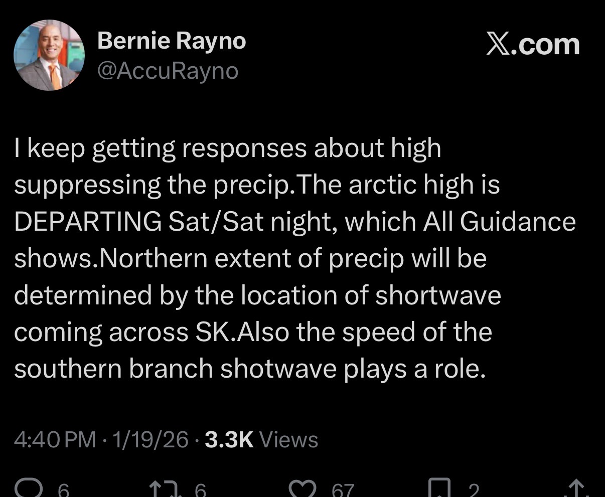
really goes negative here, wow
-
Extreme Cold, Snow & Sleet: SECS 1/24 - 1/26
milleand replied to TriPol's topic in New York City Metro

-
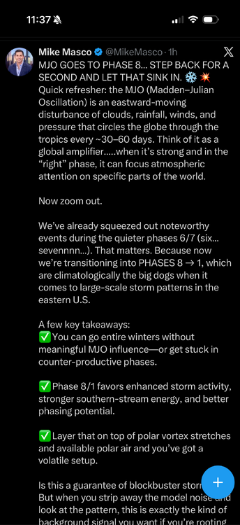
thought this was a good read
-
Tis the season !
-
Thought this was pretty good, I’m sure someone on here wrote this lol

-
Yes it is. Here is the link to the thread for that storm. Was a fun one to track..
-
Looks like the score is: Forky 1 Snowman 1
-
How about if everyone on here somehow gets 6+ inches this weekend, the name goes back. #miracleMets
- 993 replies
-
- 1
-

-
- metsfan vs snowman
- bomb
- (and 2 more)
-
FWIW

- 993 replies
-
- 1
-
-
- metsfan vs snowman
- bomb
- (and 2 more)
-
Light snow in Parsippany, NJ
-
From Union Beach -I was so mad I had to travel to Ireland that weekend and missed it. Was watching through the blink cameras ha. Couldn't believe how much fell.
-
Congratulations .... luckily there won't be any snow this weekend ha
-
Refresher snow & obs between ~midnight and Noon Sat Feb 17 2024
milleand replied to wdrag's topic in New York City Metro
Roads are covered in Keyport, NJ -
Refresher snow & obs between ~midnight and Noon Sat Feb 17 2024
milleand replied to wdrag's topic in New York City Metro
Snowman was all over this … kudos . Been a fun week for all -
2/13 Significant/Major Winter Storm Discussion & Observations
milleand replied to Northof78's topic in New York City Metro
Winter storm warning issued for Monmouth County