jwilson
-
Posts
1,294 -
Joined
-
Last visited
Content Type
Profiles
Blogs
Forums
American Weather
Media Demo
Store
Gallery
Everything posted by jwilson
-
Western PA/Pittsburgh Winter 2021/22 Discussion
jwilson replied to meatwad's topic in Upstate New York/Pennsylvania
At this point, I think it's necessary to back off any big-time pattern change in the near future. The models have kept delaying even a subtle variation in our base state. The -PNA is controlling our weather, and that's likely being manipulated by something upstream in Russia. Until we can dislodge the current pacific features, we can't really get a trough in the East and a sustained cold-air dump. We might get brief waves, but the enduring pattern is relatively mild, and trying to time precip with a one or two-day bump isn't going to go well usually. A combination of factors has meant the MJO isn't able to drive a change, either. We'll have to keep looking out there at range and hope the window closes in terms of time. I worry we're in another situation where the models tease a flip that never comes. So far, though, I will say Winter has gone as I, among others, expected it. -
Western PA/Pittsburgh Winter 2021/22 Discussion
jwilson replied to meatwad's topic in Upstate New York/Pennsylvania
The timing of this change will really depend on the momentum of the MJO. Right now, it is basically stationary in Phase 6. The GFS wants to advance it quickly once into Phase 7 through Phase 8, but if the slow propagation continues in our prime cold phases (7, 8, 1), that's actually a good thing for our snow chances. You can see this on the 6Z GFS, especially. It dumps cold air into the CONUS midweek (21st/22nd). We'll see if that continues, but it has waffled a little between a warm week and a cold one. The flow of that wave will probably dictate if we get transient cold or can retain it. The Euro is much slower with the forward propagation of the MJO. It keeps us in a warmer pattern perhaps a week longer than the GFS. This is the old "delayed but not denied" mantra. It remains to be seen what kind of amplification the MJO wave will have; it certainly looks high enough to be a pattern-driver. I think the only question is a matter of timing, but really there's no guarantee it moves as the GEFS projects. We've seen these long-range looks fail in past winters. This isn't quite the same situation but nonetheless, you can't make bets. I'd say Christmas week might still be closer to 50/50 odds of cold or warm, maybe even favoring warmth just slightly, but New Year's would favor cold in the opposite (60/40). -
Western PA/Pittsburgh Winter 2021/22 Discussion
jwilson replied to meatwad's topic in Upstate New York/Pennsylvania
The very end of the GFS run, out in fantasy land, tries to get us into a cold look Christmas week. It's not a stormy look, more cold and dry, but at least it would feel seasonal. The MJO is possibly trending in the right direction, so it has some support. Phase 7 --> Phase 8. The only problem is that's the only thing on our side for the time being. -
Western PA/Pittsburgh Winter 2021/22 Discussion
jwilson replied to meatwad's topic in Upstate New York/Pennsylvania
Agree. The thing on Wednesday looks like a pretty flat, progressive wave that will pass fairly well south of us. Heights are pumping a little bit out west, but the location of the ridge isn't ideal and honestly, it's not dramatic enough to make me look twice. The flow is quick from there and the eventual developed low doesn't start bombing until it is well off the coast, and not even all the models have that kind of development. Maybe Coastal Maine could see something. It's still too fast to be much of a producer. -
Western PA/Pittsburgh Winter 2021/22 Discussion
jwilson replied to meatwad's topic in Upstate New York/Pennsylvania
Thanks! I had some thoughts / predictions for the winter. I went back and looked at all the years with back-to-back Nina episodes. There wasn't much of a constant or pattern. Some years were lean (<30") while others were fine (>50"). Obviously, last year we did well, particularly in December, and then by March the winter was over. I think this year is probably going to be the inverse of that, with more of our snow coming in February and perhaps March, but it remains a coin-flip month. Overall, I don't think we're looking at much. My guess is the official Pittsburgh measurement is between 25-35". Granted, the high end of that is close to normal, not exactly a bad winter, per se, but I instinctively pull toward the low-end. Areas south will do worse, as is typical. I "only" measured 38.2" last season compared to Pittsburgh which was well over 50 inches. As in a Nina, we aren't likely to see a ton of southern-jet (STJ) activity. We're looking at a northern stream dominant winter, with clippers and lake effect the predominant means of snow makers. I don't really foresee a 10"+ storm, but guessing that this far out means I don't have much confidence. I could certainly be wrong. Pittsburgh isn't as sensitive to Nina winters as some places in the East that rely on coastals. The December outlook isn't bullish. I think this is one of those winters where we lead into Christmas week with 50s, maybe even 60s on occasion. Not exactly the best "winter holiday" feel. I prefer cold and snowy, of course, but that combination in December is uncommon for all the places I've ever lived. We probably come out of December with <5" of snow total. Then you have a brief pattern breakdown either around New Years or early January before it is back to a warmish look (40s to 50s). As I said, I think the best chance for snow is February once we begin to bring down the Nina from its peak and push back toward neutral. We might still finish warm each month, but that doesn't mean we'll get shutout. I could be 100% wrong on all of this so take it with a grain of salt. Just my predictions based on teleconnections, experience, and the overall worldview as it stands right now. As a snow lover, I certainly hope I'm wrong. -
Western PA/Pittsburgh Fall Weather Discussion
jwilson replied to Ahoff's topic in Upstate New York/Pennsylvania
it's December 1st! We should perhaps start a winter thread? I don't know if that matters. -
Western PA/Pittsburgh Fall Weather Discussion
jwilson replied to Ahoff's topic in Upstate New York/Pennsylvania
Had a nice white rain all day, but nothing stuck, so the winter scenery was lacking a tad. Good to see some snow, though. -
Western PA/Pittsburgh Fall Weather Discussion
jwilson replied to Ahoff's topic in Upstate New York/Pennsylvania
That was an unexpected event. A tornado outbreak in late October isn't exactly typical. Seems we had some extra shear and helicity that was not predicted? Recency bias at work, but we appear to avoid the severe weather when there are actual watches in place. Stuff goes off when there's no expectation. I have friends near the Ross Park Mall and it looks like the rotation must have gone right over them. If there was a funnel, luckily it hadn't touched down (yet). There were also a couple other events to my south. Not sure what happened near McMurray whether it was a brief touchdown or a microburst. Definitely a tornado west of Washington. -
Western PA/Pittsburgh Fall Weather Discussion
jwilson replied to Ahoff's topic in Upstate New York/Pennsylvania
That's both later and more often than I had expected. I guess pushing it to November isn't quite as unusual as I first thought. -
Western PA/Pittsburgh Fall Weather Discussion
jwilson replied to Ahoff's topic in Upstate New York/Pennsylvania
Long-term, it looks like we could push the first freeze all the way back into November. That kind of fits with the theme of this year with warmer lows, and I wonder what the latest freeze date is for PIT (unless that's the 10/26 date to which you refer). We don't really approach the mark until hour 366 on the GFS. The only other time we get remotely close is hour 198 around the 26th (ironically). Freezing temps creep into northern PA while we hit 37 or so. It's not just us, either. Most of the northeast has avoided any kind of real cold thus far, even overnight cold, and that continues through the long-term. Excepting maybe a period next week. We'll see if it pans out. We're in for another La Nina spell this winter. -
Western PA/Pittsburgh Fall Weather Discussion
jwilson replied to Ahoff's topic in Upstate New York/Pennsylvania
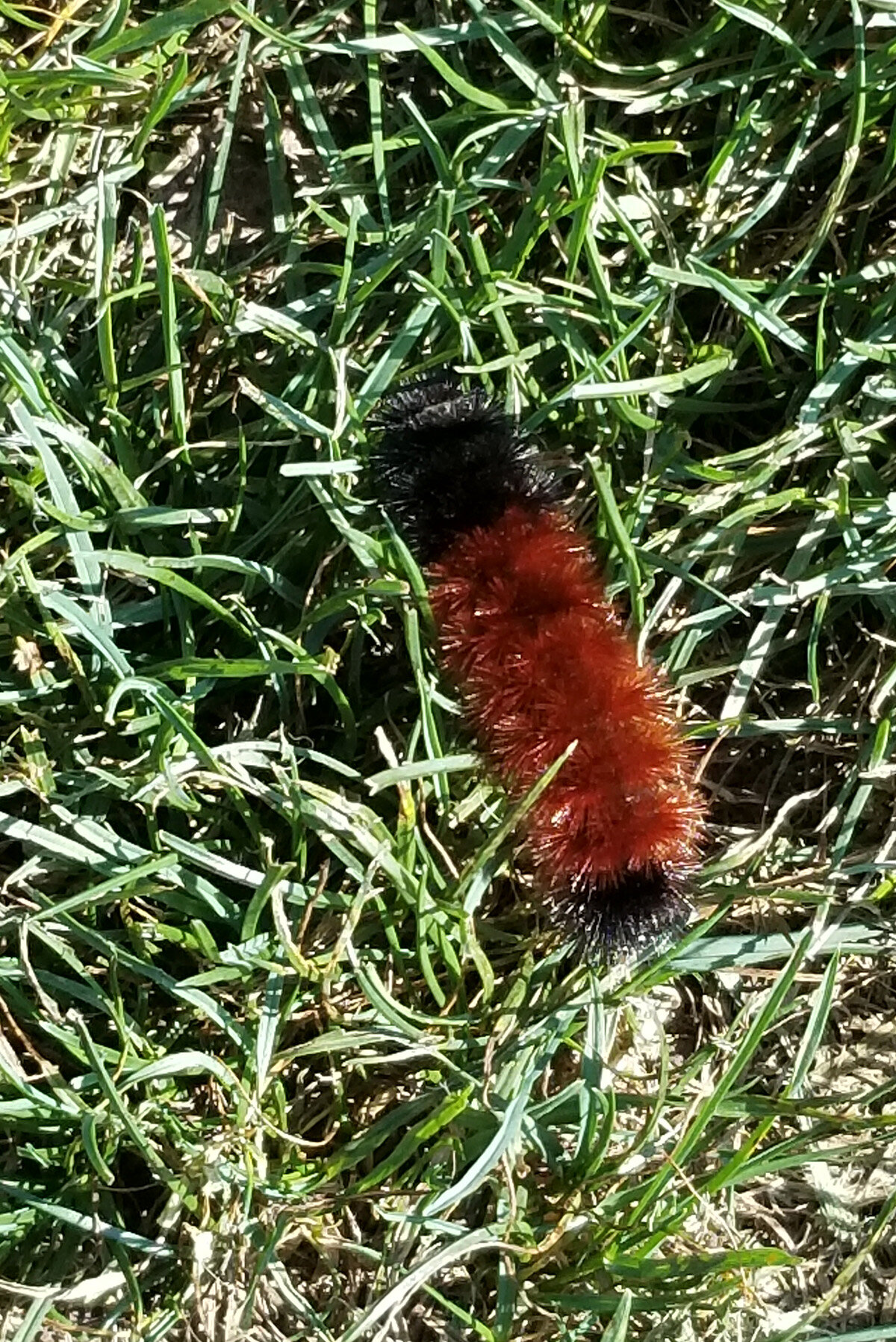
Saw this guy outside today. Looks like a mild winter is incoming? I've never tested this theory, but here's a good opportunity.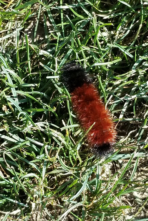
-
Western PA/Pittsburgh Fall Weather Discussion
jwilson replied to Ahoff's topic in Upstate New York/Pennsylvania
80s really aren't uncommon in October, at least not in modern climatology. 7 of the last 11 years have had at least one 80-degree day in October, but typically it's a few. We were spoiled last year with the more "traditional" fall weather. It was unlikely to repeat, at least not with regularity. We'll have to relish the occasional odd year where it happens going forward. -
Western PA/Pittsburgh Fall Weather Discussion
jwilson replied to Ahoff's topic in Upstate New York/Pennsylvania
First snow October 22nd. Think we can lock that one in? -
Western PA/Pittsburgh Fall Weather Discussion
jwilson replied to Ahoff's topic in Upstate New York/Pennsylvania
Sounds like we're going to need another hurricane to break the pattern again. -
Western PA/Pittsburgh Fall Weather Discussion
jwilson replied to Ahoff's topic in Upstate New York/Pennsylvania
I think we've gotten used to September warming, at this point. It is rarely a "fall" month anymore. We can even stretch the 80s (and more rarely 90s) into October. Heck, even last November was warm in the beginning. Of course, two years ago November was the coldest month of the winter (I think), so it's hardly definitive beyond a warmer September. I like fall, though, and it's unfortunate we see less of it. My own theory is we're eventually going to have two primary seasons: winter and summer, not much lengthy in-between. -
Western PA/Pittsburgh Summer Discussion 2021
jwilson replied to Ahoff's topic in Upstate New York/Pennsylvania
Guess I spoke too soon. Looks like we've started the eastward jog, and it has kept pouring through this so the metro area might verify those high-end totals of 4-6". -
Western PA/Pittsburgh Summer Discussion 2021
jwilson replied to Ahoff's topic in Upstate New York/Pennsylvania
We've had a hard rain, as well, for a while but about to dry slot which should save us from a worse fate. We also lost power briefly, clearly a flow problem, but it seems they upped the auxiliary because we're okay for now. Although I did see some power flashes behind us. Everything is soaked at this point. Not a terrible surprise the rain has gone further north than expected. -
Western PA/Pittsburgh Summer Discussion 2021
jwilson replied to Ahoff's topic in Upstate New York/Pennsylvania
Not much consensus from the models. A pre-winter delight in storm tracking with Allegheny once again the battleground. -
Western PA/Pittsburgh Summer Discussion 2021
jwilson replied to Ahoff's topic in Upstate New York/Pennsylvania
I wondered if the right-turn that Ida took early would result in a more southern solution eventually. Maybe there's no correlation, but for now it looks like that's the case. Although this looks like a winter storm scenario with a northern-stream vort pressing down and a tight precip gradient. I'm with Ritual, on this one. Too many bad memories. While probably nothing, I hope getting "missed" by two tropical systems doesn't portend something for the winter season. If we get missed, that is. -
Western PA/Pittsburgh Summer Discussion 2021
jwilson replied to Ahoff's topic in Upstate New York/Pennsylvania
I have friends down in BR riding out this event (one couldn't leave because of his job). I'm hoping they'll stay on the north/east side of the eye to spare them the worst of it, but it looks like it will get close. Regardless, the flooding is going to be quite bad, to put it mildly. As for us, the track is still uncertain. We saw a northward shift with Fred which isn't unusual for us. Maybe something similar happens again (not that a northward shift in this case would really help too much, absent something extraordinary). -
Western PA/Pittsburgh Summer Discussion 2021
jwilson replied to Ahoff's topic in Upstate New York/Pennsylvania
Thursday was a nasty one for us. We basically had a three-hour thunderstorm that had varying intensities of precipitation. A lot of close lightning strikes. Makes me wish I had a camera setup on a tripod to record the whole thing. Fortunately we got a break last night, as the worst of the storms skipped us over (perhaps because we used up all the energy the night before). We've more than made up for the dull spring. Now I'm kind of looking forward to cool fall weather, if such a thing will happen this year. -
Western PA/Pittsburgh Summer Discussion 2021
jwilson replied to Ahoff's topic in Upstate New York/Pennsylvania
There's this from NWS Pittsburgh showing all the lightning: -
Western PA/Pittsburgh Summer Discussion 2021
jwilson replied to Ahoff's topic in Upstate New York/Pennsylvania
Looks like this one weakened below severe levels right before it hit us. The wind wasn't even that bad locally. Hopefully no tornado up north. I had a good view of the line from the southeast and there might have been remnants of a wall cloud, but it became clearly disorganized before moving in. Also didn't visibly see any real rotation. -
Western PA/Pittsburgh Summer Discussion 2021
jwilson replied to Ahoff's topic in Upstate New York/Pennsylvania
Sorry, I meant not bad locally. I didn't mean that as a universal attribute. -
Western PA/Pittsburgh Summer Discussion 2021
jwilson replied to Ahoff's topic in Upstate New York/Pennsylvania
We've been pretty lucky (or unlucky depending on your POV) here locally. Yesterday was the first storm that actually hit us and it wasn't all that bad. Most of them have been missing just to the west or east. Sorry for those of you dealing with problems. I've seen lots of down trees and flooding elsewhere, including my own old 'hood in Morgantown. Actually, I've always been curious about this microclimate split we seem to have between north of the city and south. For whatever reason, it seems south of the city gets much less incidence of true severe. Does anyone happen to know why? Is it simple terrain/geography?