
SolidIcewx
-
Posts
1,647 -
Joined
-
Last visited
Content Type
Profiles
Blogs
Forums
American Weather
Media Demo
Store
Gallery
Everything posted by SolidIcewx
-

2023 Short/Medium Range Severe Weather Discussion
SolidIcewx replied to Chicago Storm's topic in Lakes/Ohio Valley
You can really feel it today. Air is thicker than a campbells chunky soup -
2023 Short/Medium Range Severe Weather Discussion
SolidIcewx replied to Chicago Storm's topic in Lakes/Ohio Valley
t Discussion National Weather Service Northern Indiana 1253 PM EDT Thu Jul 20 2023 .SYNOPSIS... Issued at 1249 PM EDT Thu Jul 20 2023 Severe thunderstorms are expected to develop later this afternoon. Large hail and damaging wind gusts are the primary concerns. The severe weather risk concludes by about 10 PM eastern daylight time. Dry, not as hot and humid, on Friday. && .SHORT TERM...(This Evening through Friday) Issued at 1249 PM EDT Thu Jul 20 2023 Increasing confidence on severe weather occuring later this afternoon. Large hail and damaging wind gusts are the primary concerns. SPC Mesoanalysis temperatures and dew points initialize well this hour which bolsters confidence in their derived thermodynamic parameters. A warm front is now approaching the I-94 corridor in MI while a cold front is between Milwaukee and Chicago. Severe weather parameters this afternoon, and going forward, are very favorable for storms capable of large hail, damaging wind, and perhaps a tornado. High resolution guidance, mainly the HRRR, has been fairly consistent run-to-run regarding storm initialization near 3 PM EDT over far southern MI and northeast IN. Forecast soundings show an increasing risk of large hail due to enormous CAPE profiles, Effective Bulk Wind Profiles in excess of 30 knots, SHIP > 1, and mid- level lapse rates in excess of 6.5 C/km. Damaging wind gusts are also a concern due to favorable low-level lapse rates and are perhaps also favored toward Putnam, Van Wert and Allen counties in Ohio as discreet storms early attempt to become linear through time. The tornado risk is meager with small SRH values, generally unidirectional low-level flow, and LCLs in excess of 1km. Though, discrete storms toward the warm front would have the greatest tornado potential due to enhanced helicity there. Lastly, South Bend and points southwest might miss out on the severe weather risk because storms seem favored to develop east of there and then (of course) drift southeast. High confidence that storms will exit the forecast area by 9-10 PM EDT; notably sooner for those in southern MI and far northeast IN. Just a touch cool tonight with lows near 60. Cooler and not as humid on Friday with dry weather. -
2023 Short/Medium Range Severe Weather Discussion
SolidIcewx replied to Chicago Storm's topic in Lakes/Ohio Valley
Now I wonder if the southern end is where supercells will form. Or will this be a large bowing segment going through multiple states with imbedded rotation -
2023 Short/Medium Range Severe Weather Discussion
SolidIcewx replied to Chicago Storm's topic in Lakes/Ohio Valley
Strong SW winds developed here in the past couple hours -
2023 Short/Medium Range Severe Weather Discussion
SolidIcewx replied to Chicago Storm's topic in Lakes/Ohio Valley
I did realize after the fact but also working at the same time lol. Very sticky here in Lima right now. 79/71 where I’m located. -
2023 Short/Medium Range Severe Weather Discussion
SolidIcewx replied to Chicago Storm's topic in Lakes/Ohio Valley
Now that’s what the hell I’m talking about nice and spicy -
2023 Short/Medium Range Severe Weather Discussion
SolidIcewx replied to Chicago Storm's topic in Lakes/Ohio Valley
On my way to work I found a few areas I can park my company truck. No other co workers for 60 miles and don’t feel like having my windshield smashed lol. Ready to thread the needle on avoiding hail cores if needed edit: today definitely has that feel to it -
2023 Short/Medium Range Severe Weather Discussion
SolidIcewx replied to Chicago Storm's topic in Lakes/Ohio Valley
I was just reading about the hail possibly getting to around 2” or a bit bigger. Could be explosive this afternoon if morning convection holds off -
2023 Short/Medium Range Severe Weather Discussion
SolidIcewx replied to Chicago Storm's topic in Lakes/Ohio Valley
I was thinking about positioning between Findlay and Kenton not far from 30. Hope it’s timed closer to when I’m off work so I can head that way to be ahead of what development goes on and go from there -
Like trying to get a last minute prom date. Hope y’all get at least .5-1”
-
2023 Short/Medium Range Severe Weather Discussion
SolidIcewx replied to Chicago Storm's topic in Lakes/Ohio Valley
East of I69 looks to be the hotspot especially just across the border. I’m hoping for some good ones to roll through. If supercells do form I’m going to go out. Right in the heart of it where I’m staying -
Looking toasty end of next week will see if wide spread upper 90s and low 100s happen according to the euro at least. Possible ring of fire set up right across MI. A bit far away still but we shall see
-
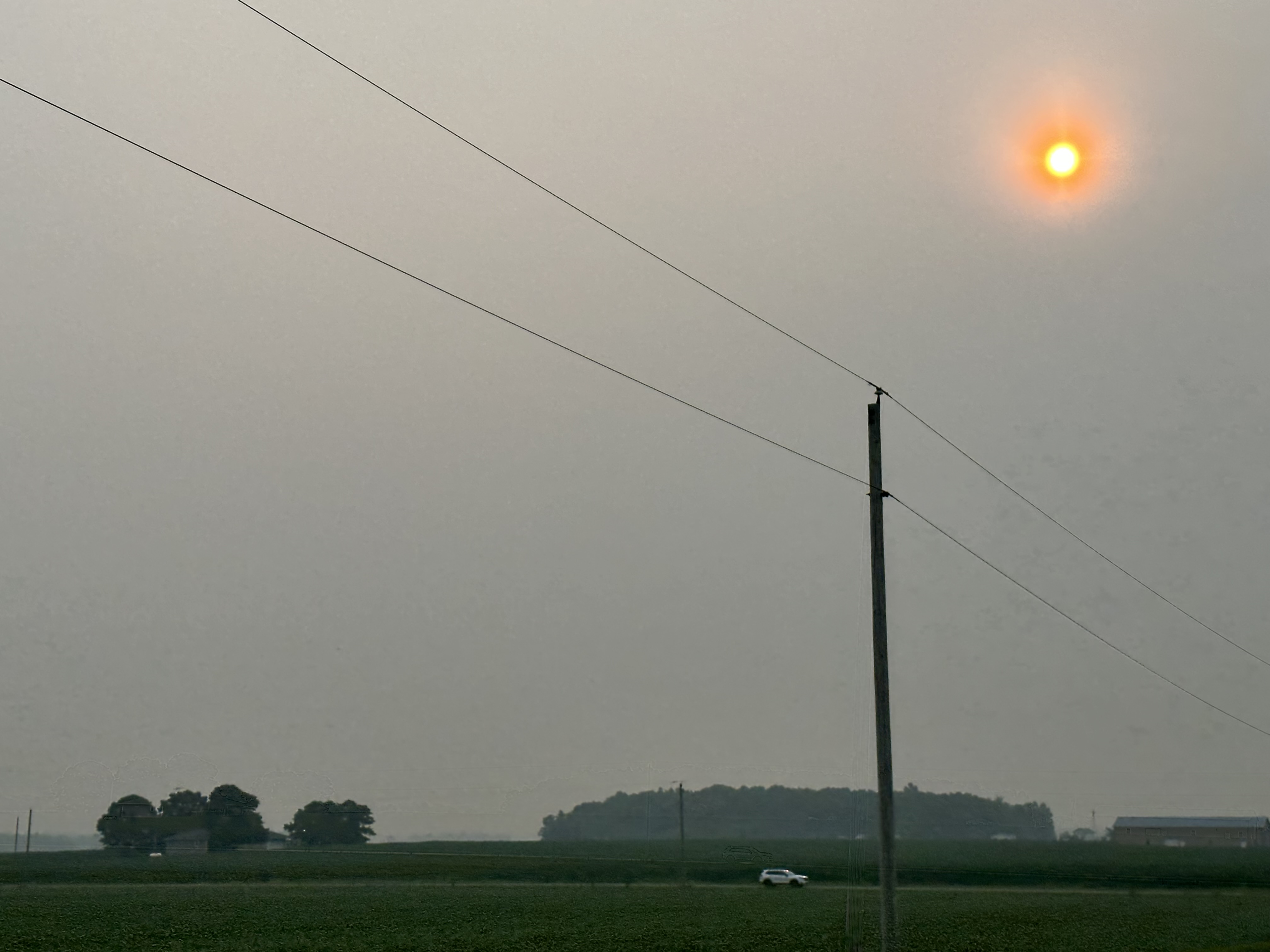
I wish I could show my 4K pro raw photos of it. You are right it did look like mars here in Lima
-
Love how it went from 100% chance of storms at 8am to now it’s 20%
-
-
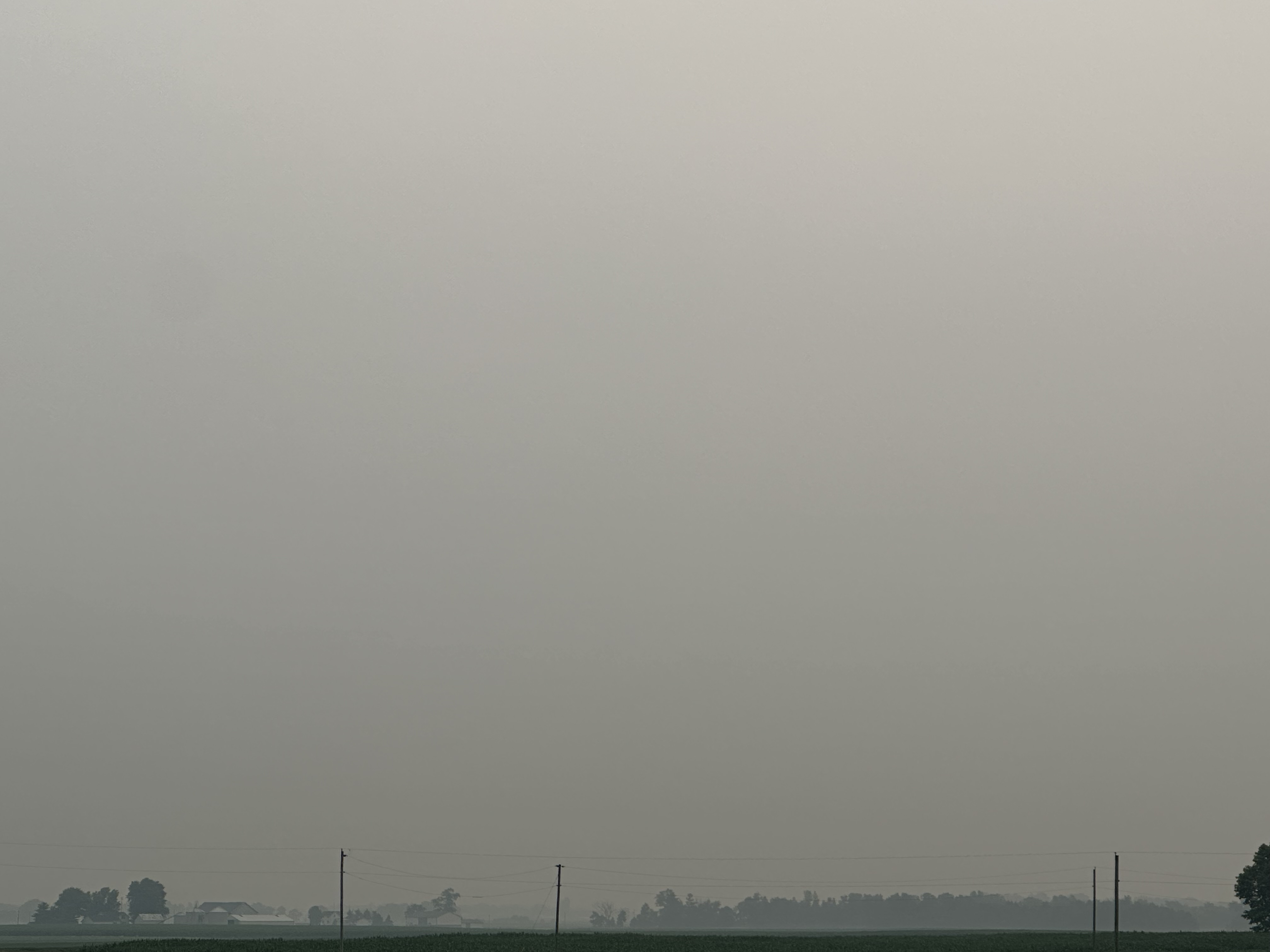
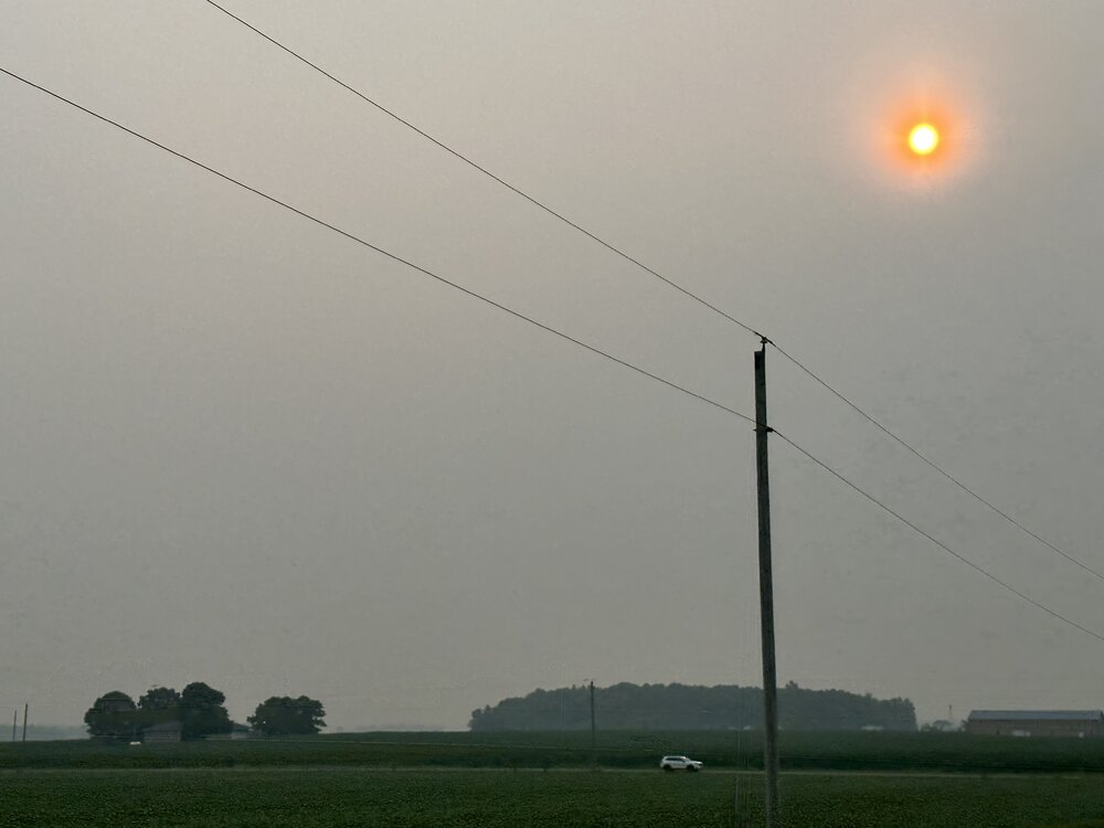
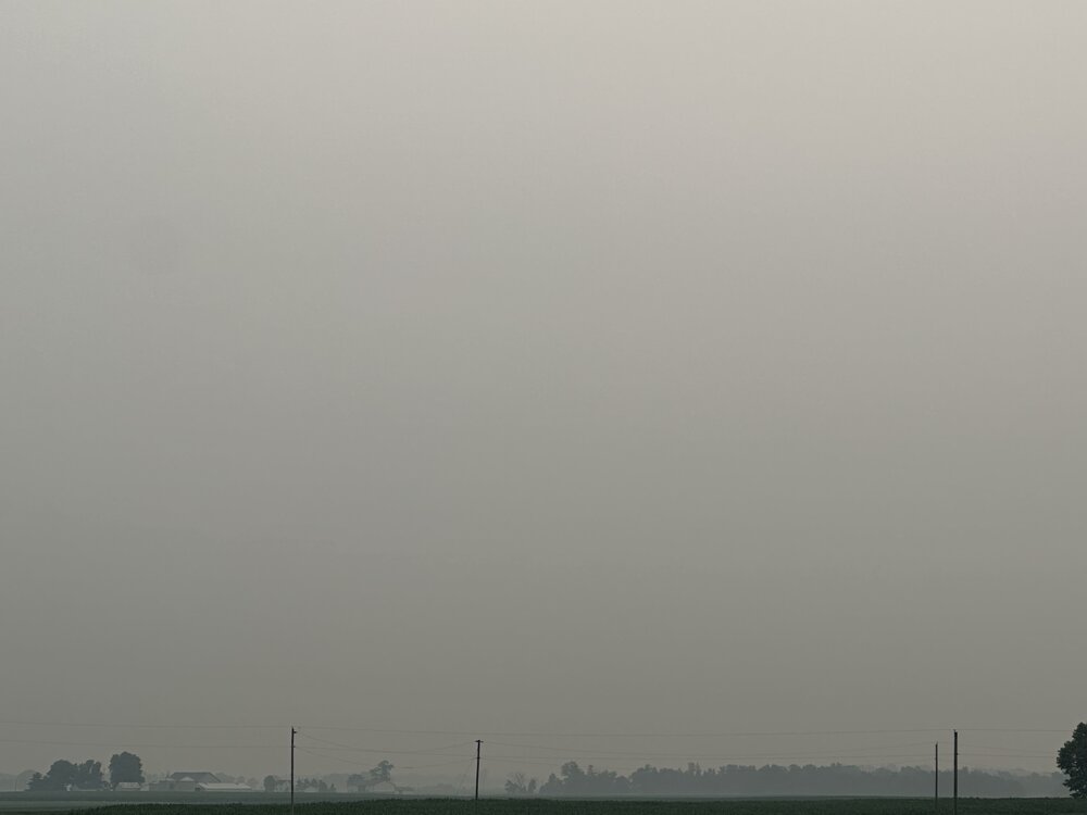
Very Smokey morning drive back to Ohio. Lots of surface level smoke here where I am. But still better than it was in late June
-
As long as it is not as bad as it was a few weeks back
-
2023 Short/Medium Range Severe Weather Discussion
SolidIcewx replied to Chicago Storm's topic in Lakes/Ohio Valley
Holy shit that’s crazy. If there was more juice in the atmosphere it could have been a different story. Just now back home for the weekend if only I was a few hours earlier -
2023 Short/Medium Range Severe Weather Discussion
SolidIcewx replied to Chicago Storm's topic in Lakes/Ohio Valley
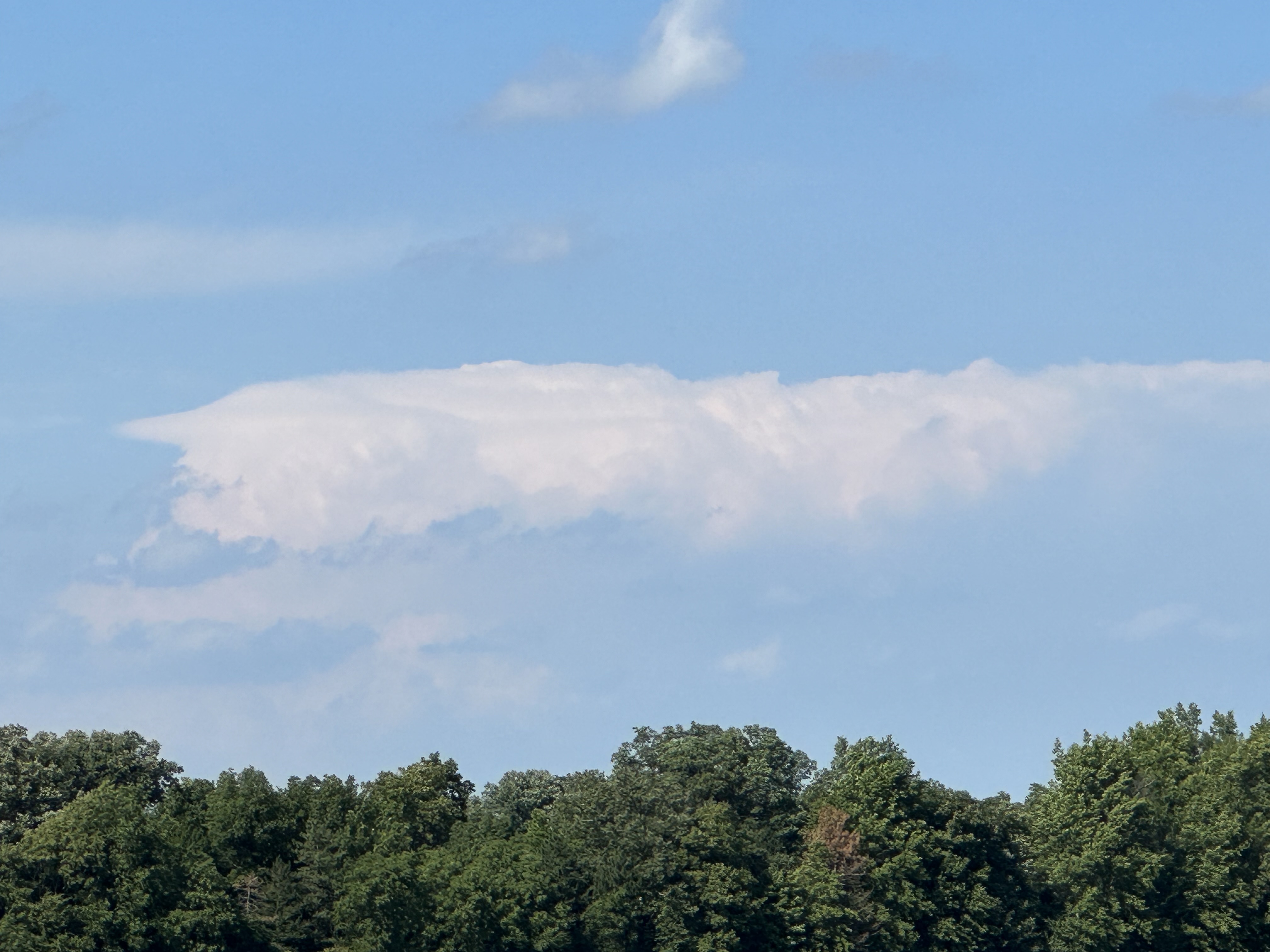
My view of the storm from where I’m at. Hella tall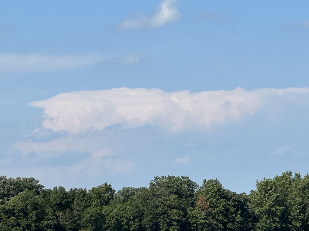
-
2023 Short/Medium Range Severe Weather Discussion
SolidIcewx replied to Chicago Storm's topic in Lakes/Ohio Valley
If I was not in Lima I’d be going after it. Would have blasted down 275 to get ahead of it -
2023 Short/Medium Range Severe Weather Discussion
SolidIcewx replied to Chicago Storm's topic in Lakes/Ohio Valley
DTW area I think dodged a bullet. A little better atmosphere dynamic and those storms would have taken off -
2023 Short/Medium Range Severe Weather Discussion
SolidIcewx replied to Chicago Storm's topic in Lakes/Ohio Valley
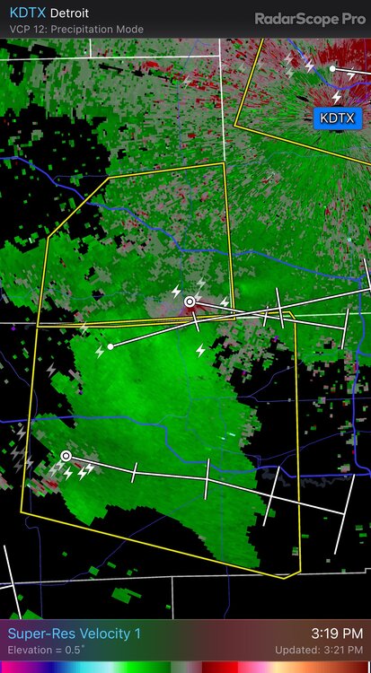
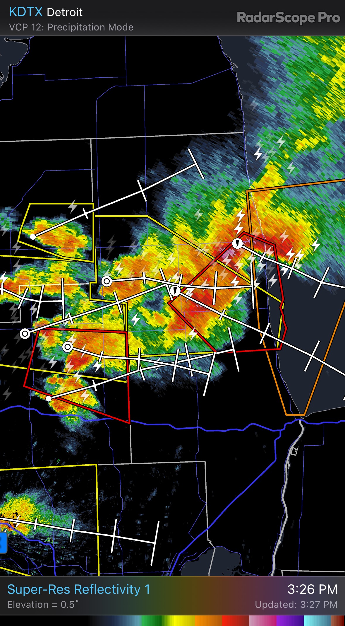
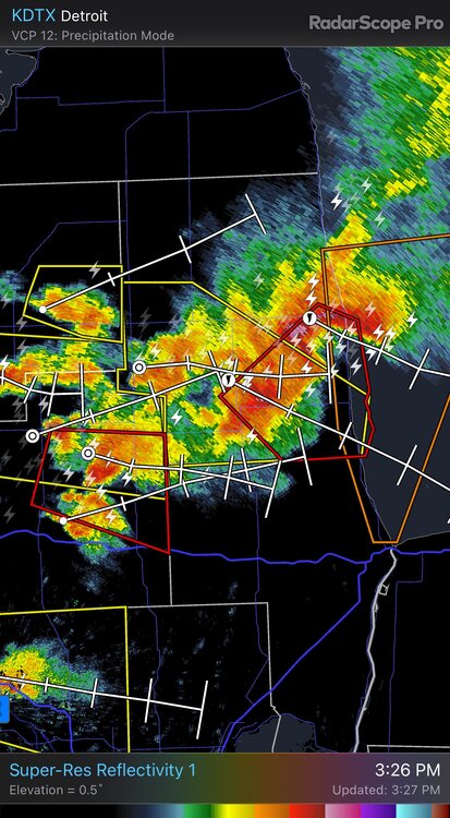
Cell in Wayne county looking pretty supercellular now. Wish I was home to see it. Hopefully it don’t tighten up anymore or the metro is in some trouble -
2023 Short/Medium Range Severe Weather Discussion
SolidIcewx replied to Chicago Storm's topic in Lakes/Ohio Valley
-
2023 Short/Medium Range Severe Weather Discussion
SolidIcewx replied to Chicago Storm's topic in Lakes/Ohio Valley
National Weather Service Detroit/Pontiac MI 230 PM EDT Fri Jul 14 2023 .DISCUSSION... Moderate instability has built up, with 18z SPC mesoscale analysis indicating 1500 J/kg of MLcape and 2500+ J/kg. Jet streak/40+ knots of 0-6 KM bulk shear aligned over/around I-94 corridor, presenting the elevated concern for severe storms, as the Lake Michigan shadow push has begun and some activity is attempting to go up. Will need to be leery of the backed flow near Lake Erie to increase low level shear and lead to potential rotation. Some enhanced low level convergence and enough 0-1 km bulk shear (up to 15 knots) over the Thumb region to allow for rotation and more organized activity as well, with possible tornadoes indicated. Once the scattered strong-severe storms/surface based activity dwindles early this evening, still a muddled forecast for tonight into Saturday, as 12z hires solutions are all over the place with convection, or lack there of if you believe certain solutions. Unfortunately, with the amount of upper level shortwaves seen on the water vapory imagery tracking through northern Plains/Midwest, it is not surprising and difficult to latch on to the main/dominant player as we work through the diurnal cycle. Ultimately, with moderate southwest low level winds and solid negative showalter index values persisting, will lean toward the redevelopment of convection tonight within the backdrop of upper level ridge building into between the Central/Eastern Great Lakes region toward Saturday morning, as shortwave energy/lead PV advection tracks in from the western Ohio Valley. With 700 MB dew pts rising into the low-mid single numbers, excessive/heavy rainfall becomes an increasing concern as we head into Saturday as well. 12z Regional GEM seems to have the general flavor of the forecast for tonight and tomorrow. With the morning shower/thunderstorm activity slow to exit, anticipating afternoon instability to be low, with mlcapes generally under 1000 J/kg, which is a good thing as wind shear appears to be moderate, with 35+ knots of 0-6 km bulk shear to work with. Day 2 out of SPC has dropped the marginal risk of severe storms for bulk of southeast Michigan, which is fine as long as that morning activity verifies. -
2023 Short/Medium Range Severe Weather Discussion
SolidIcewx replied to Chicago Storm's topic in Lakes/Ohio Valley
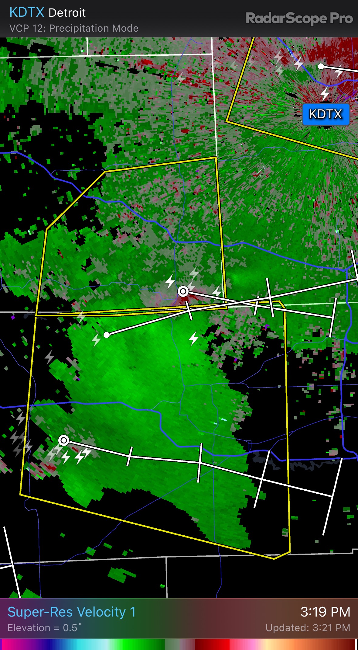
Rotation in southern Livingston county. Going towards not far from where I live