.jpg.949052775cf13715749e9bd3740a4bd3.jpg)
Bigbald
-
Posts
174 -
Joined
-
Last visited
Content Type
Profiles
Blogs
Forums
American Weather
Media Demo
Store
Gallery
Posts posted by Bigbald
-
-
-
5 minutes ago, tnweathernut said:
Yeah, I guess it’s all about perspective. As I get older, the small snows seem to be more of a nuisance, but I also know there are a bunch of people over in west, southeast, and middle TN on our forum that would trade places with me in a heartbeat.
Good points, and I am totally speaking anecdotally right now, maybe it's been better than my memory is telling me (I can't even rem december). I will say this, it has definitely and consistently felt like winter here as opposed to the two previous.
-
 1
1
-
-
Epic winter for the high country of upper east tn but damn it feels paltry at the base for places like kingsport/gc/gray. I would much rather have 2 7 inch snows over 14 nickel and dimers.
-
2
-
-
At dinner, can someone give me the synopsis for how that happened ha? Boundary setup east along the Apps?
-
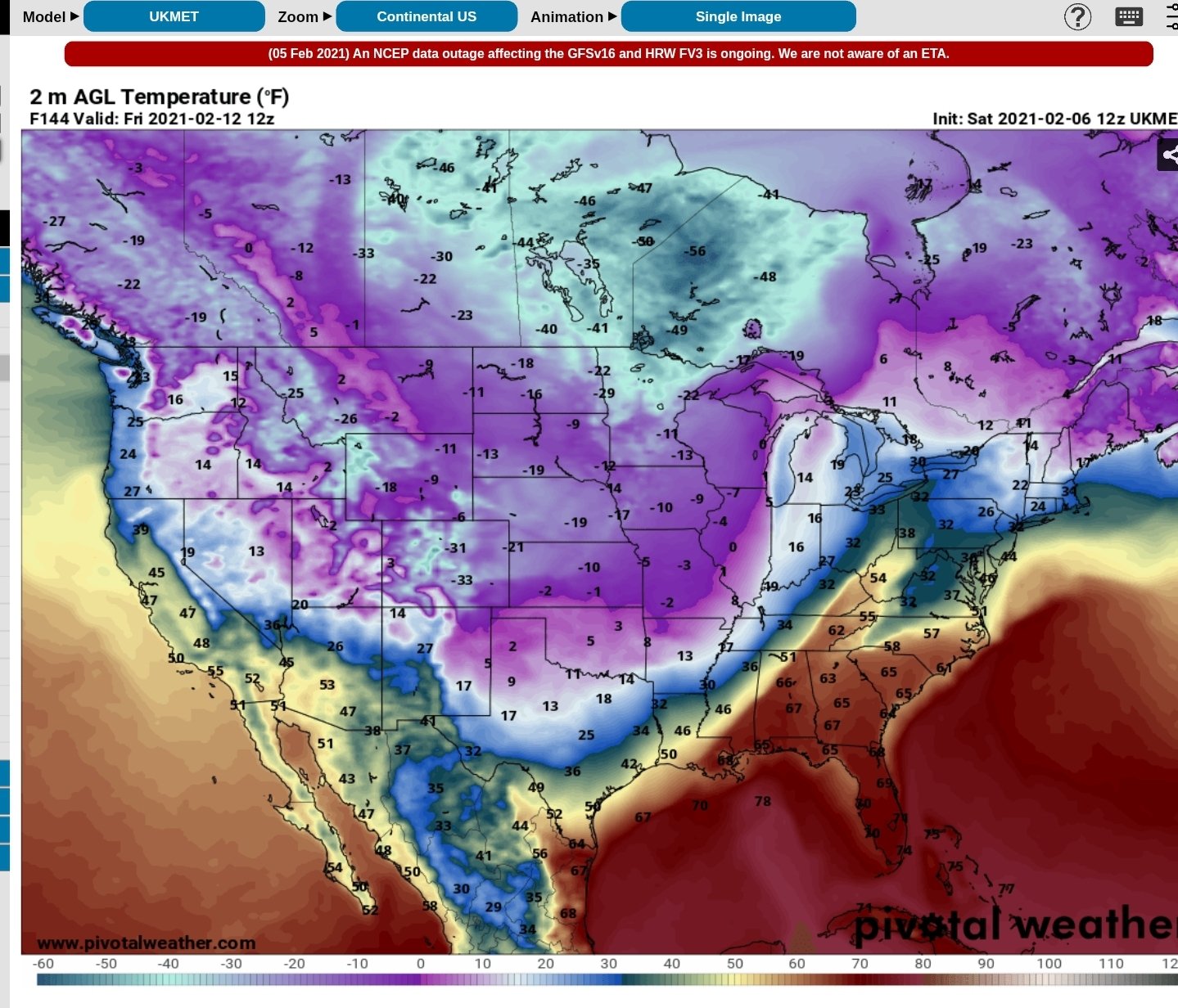
I am not real familiar with Ukie, Orientation is quite different here at 140ish. Does anyone have beyond that hour?

-
Just now, Matthew70 said:
Will be interesting what the Doc says. He may say 75 and severe storms with way he’s been going.
I doubt it, this is remarkable model agreement right now at 12z less a few details.
-
1
-
-
13 minutes ago, Carvers Gap said:
Give me no part of the GFS at 246 - none at all. Want no part of that.
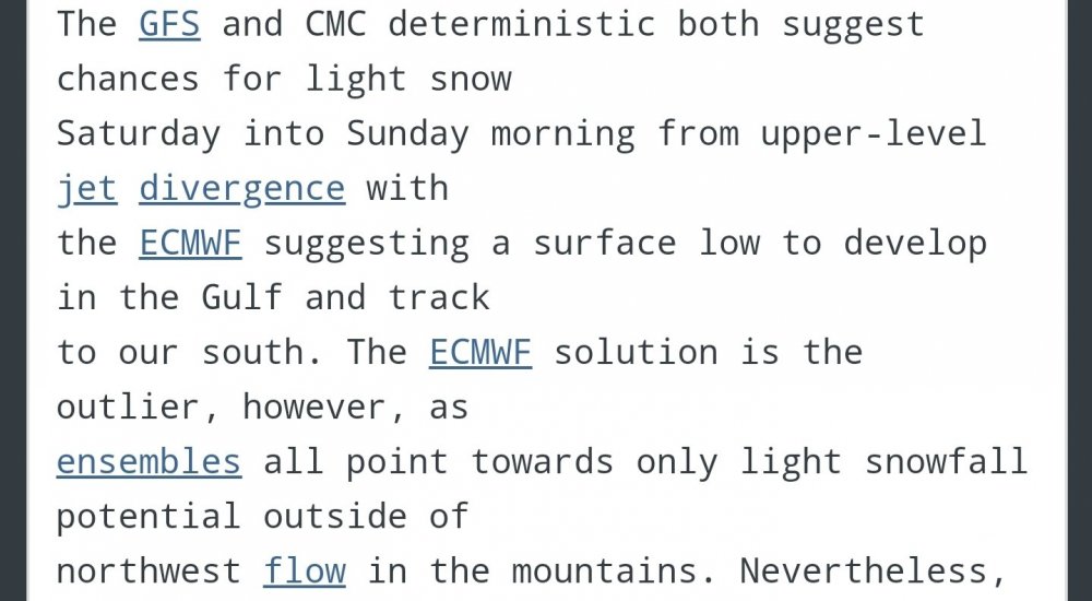
Tough thing is, it's been my experience that models scour residual cold artic too fast, so maybe it's worse than depicted at that hour given that bitterly cold air entrenched is harder to rid.
-
This maybe a scenario where I am happy to live vicariously through you middle/west Tennessee folks ha. Wow at that ice
-
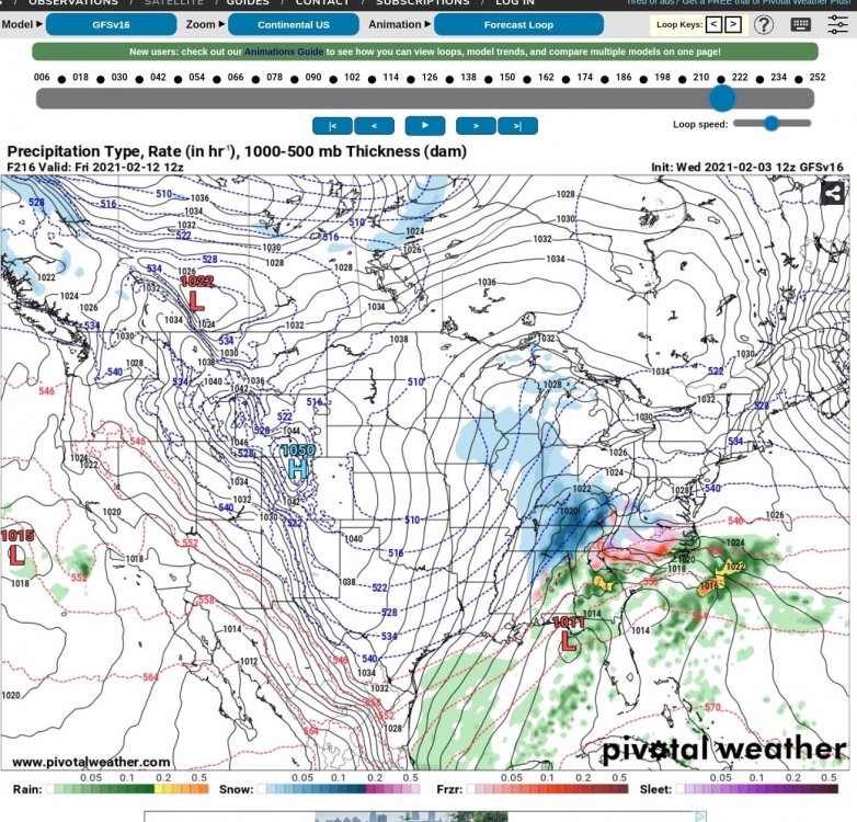
For TRI folks, it looks like there's less backside/enhancement at 156 hrs when compared to 6z, when the cold front punches through. But at that far out its devil in the details anyways and bound to change.
-
Not much discernable difference to me through 90 for 12z gfs when compared to 6z.
-
Will the cold front push through the plateau is my big question. It seems like recent modeling is hanging it up on the rim and creating that diagonal axis that gives the west, KY, etc.
-
2
-
-
12z icon similiar to gfs etc with the artic boundary battlefront the Apps at around 165 hrs... Euro is really on its own here
-
By hr 305, when the damn finally breaks and low 50s return to large swath of tn, I predict mankini Monday cause 50s will feel about like 80
-
 3
3
-
-
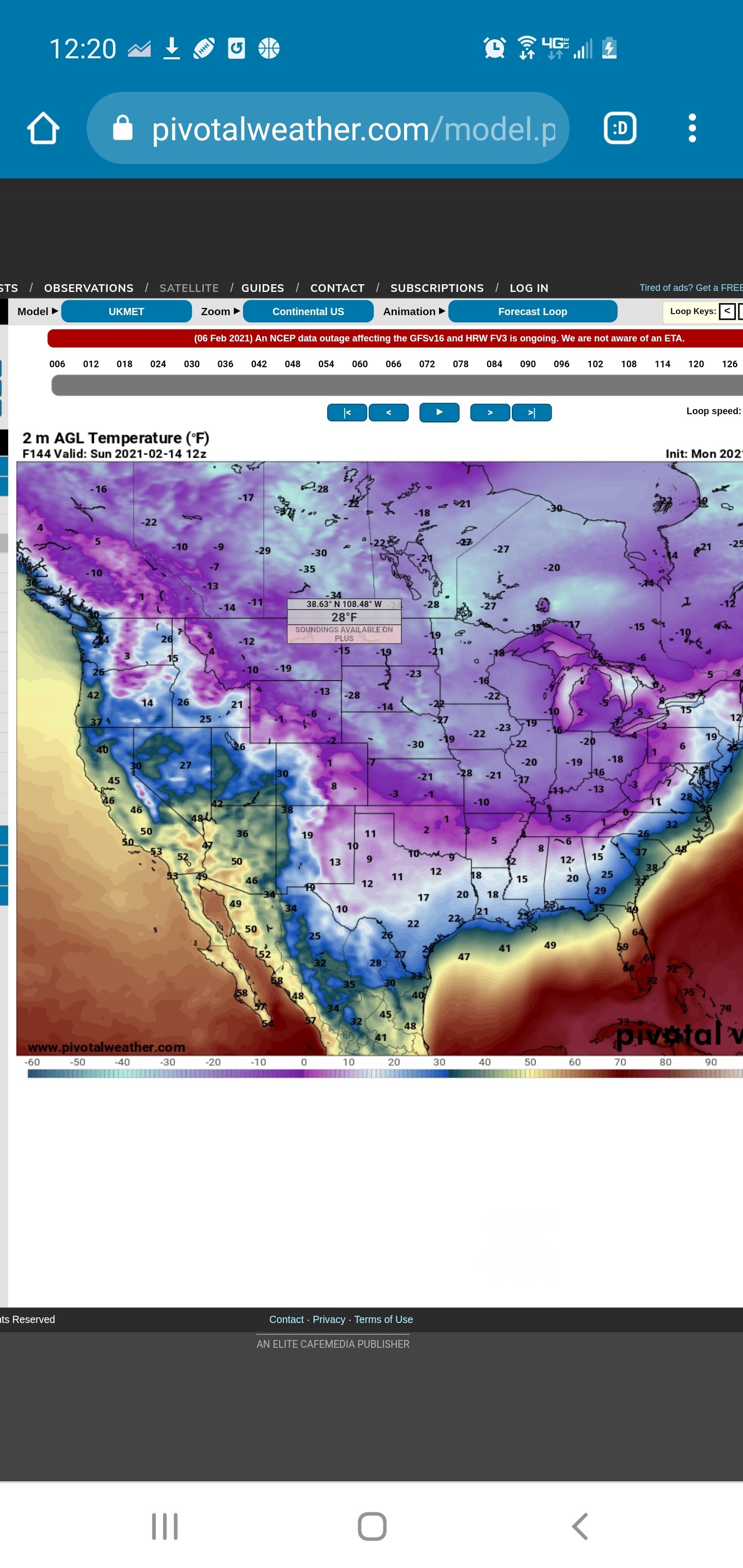
I cant see beyond 240, but, for example, wise va was low single digits and deeply negative for like 4 days straight. This is ice age type stuff lol
-
1
-
-
Just wow at the gfs cold,
-
3
-
-
2 minutes ago, Coach B said:
I don't know how to describe that trailing energy, but it seems some of the models are keying on it for any hope of accums west of the Plateau.
I never like to have to bank on the trailing energy, or at least its been my experience that it more often than not over modeled.
-
It's amazing the jump that occurred from 12-18z to 0z on most of the models now honing in on the artic boundary, even if alot of the details and precise placement will still vary.
-
1
-
-
4 minutes ago, Carvers Gap said:
0z GFS is setting up a multi-day overrunning event. Nearly impossible to know the details at this range, but not a bad look.
Looks like the orientation of the icon no?
-
Para looks amazing at 210
-
5
-
-
Once and for all, it's tough being a snow weenie in the upper south
-
1
-
1
-
-
2 minutes ago, fountainguy97 said:
Wow. I guess up My area up rock creek in Erwin really really loves this NNW flow.
adding another inch currently
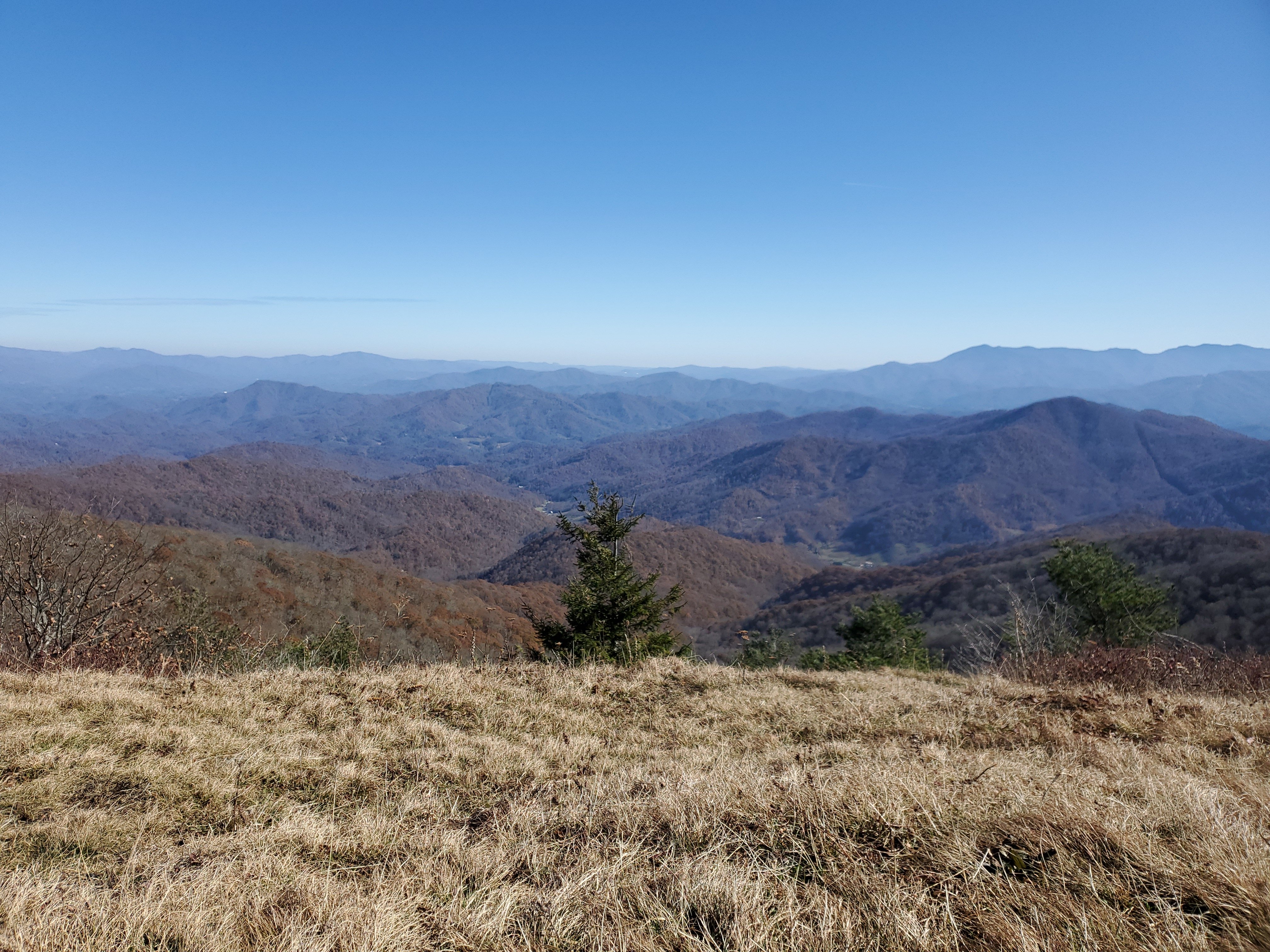
Guessing Beauty Spot and Pleasant Garden are well smashed right now, may try and hike up to PG via Rattlesnake Ridge Trail this afternoon.
-
I let myself get a little too enamored with the 12z euro yesterday. Not that I thought it would happen verbatim but I miss having a big storm, here is the cold water snippet from MRX:


February/March 2021 - Frigid or Flop? Pattern/Longterm Forecast Thread.
in Tennessee Valley
Posted
I work in wise, VA, so I am super interested in the little meso scale between rgem and Nam. Rgem really gets messy in far swva there in the short term.