

Owensnow
-
Posts
134 -
Joined
-
Last visited
Content Type
Profiles
Blogs
Forums
American Weather
Media Demo
Store
Gallery
Everything posted by Owensnow
-
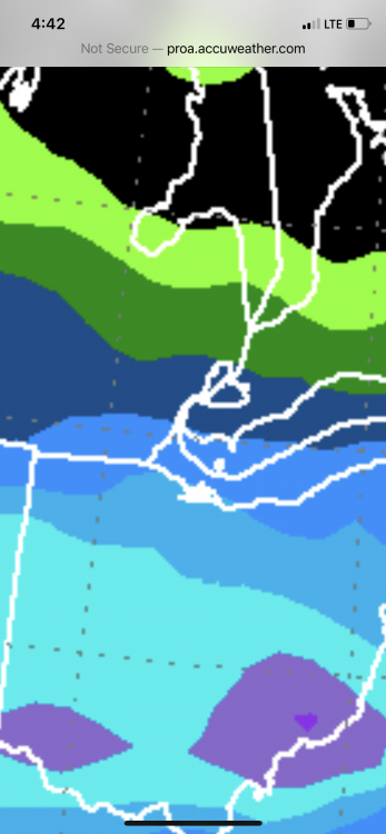
The GFS has rain for our area SEMI and SW Ontario NAM is better but does show a warm layer around 925MB
-
Yeah fail scenario coming to life here I believe as well in Kingsville Ontario not even .5 inches here yet and radar is dying
-
Personally I think where I am sitting (North shore of Lake Erie, Kingsville, ON, 3-8 inches by end of Monday. There are more pieces of energy at play for Monday.
-
I am right on the northern edge of the .50-.75 qpf range lol here in SW Ontario (kingsville) cmon North baby
-
Interesting that none of the guidance is reflecting this in snowfall amounts. if you go one station south of DTW (TTF)and draw a Line East-Southeast from there to where I’m at, I’m near 7 inches and they are forecasting three maybe.
-
Anyone have the 15z plume qpf means for DTW yet?
-
North shore of Lake Erie here
-
The SREF mean plumes have DTW at 6.3 inches South of there it’s 7-8 with many members showing above that.
-
SREF plumes for DTW are mean qpf of .62 (9z) and tot SN 6.17 INCHES Go one station further south of there just before you get to the Ohio border and you’ve got over 7 inches at TTF What’s with the poor ratios anyway?


