Jt17
-
Posts
677 -
Joined
-
Last visited
Content Type
Profiles
Blogs
Forums
American Weather
Media Demo
Store
Gallery
Everything posted by Jt17
-
Yea and NYC and east ended up with 10-20+ inches when surface depictions were showing 2-3 inches when H5 was screaming something bigger.
-
9 days away? Lol have some patience dude!
-
January 28/29 Blizzard Observations/Discussion/Nowcasting
Jt17 replied to Northof78's topic in New York City Metro
Say hi Mike, it's a safe space for weenies like us! -
January 28/29 Blizzard Observations/Discussion/Nowcasting
Jt17 replied to Northof78's topic in New York City Metro
I live in an apt complex in queens with a few buildings creating tunnels and between them all is a tennis and basketball court. The courts are completely clear and snow is stacked up against the wall surrounding it in parts about 3 feet high lol -
January 28/29 Blizzard Observations/Discussion/Nowcasting
Jt17 replied to Northof78's topic in New York City Metro
Looks like that band heading nw over Nassau County might bring some pop to the outer boros and then Manhattan... -
January 28/29 Blizzard Observations/Discussion/Nowcasting
Jt17 replied to Northof78's topic in New York City Metro
Does anybody have a favorite radar they can recommend? -
January 28/29 Blizzard Observations/Discussion/Nowcasting
Jt17 replied to Northof78's topic in New York City Metro
exactly... lol -
January 28/29 Blizzard Observations/Discussion/Nowcasting
Jt17 replied to Northof78's topic in New York City Metro
If the RAP is right (it's giving the city consistently run after run 16 inches with ratios now) people are going to wake up with a surprise cuz that ain't 6-10 inches lol -
January 28/29 Blizzard Observations/Discussion/Nowcasting
Jt17 replied to Northof78's topic in New York City Metro
he's trolling - that's why I asked where he was from. -
that was actually a pretty big jump... 0.56" qpf last run to .73" this run 1.5 inches at 10-1 and about 2.9 inches more with ratios...
-
January 28/29 Blizzard Observations/Discussion/Nowcasting
Jt17 replied to Northof78's topic in New York City Metro
2-4" inches for the whole storm? lol You actually came here to troll. What a boring place to troll man. It's a bunch of weather nerds. -
January 28/29 Blizzard Observations/Discussion/Nowcasting
Jt17 replied to Northof78's topic in New York City Metro
I understand that, but most of this forum is focused on the immediate area around NYC and that will be far enough from strong winds for most of this storm that it shouldn't really have an impact on snow growth. Which is why the outer extent of the moderate/heavy snow actually could reflect the Kuchera snow totals. Just a hunch here. -
January 28/29 Blizzard Observations/Discussion/Nowcasting
Jt17 replied to Northof78's topic in New York City Metro
you in Maryland? lol -
January 28/29 Blizzard Observations/Discussion/Nowcasting
Jt17 replied to Northof78's topic in New York City Metro
I know, but the comments every time somebody mentions ratios or posts a Kuchera map is ridiculous. Not the same type of storm at all but La Guardia got 9 inches of snow on .3 QPF earlier this month. ratios are a THING. -
January 28/29 Blizzard Observations/Discussion/Nowcasting
Jt17 replied to Northof78's topic in New York City Metro
No no, haven't you heard... there's no such thing as ratios. Snow only falls at 10-1 NO MATTER WHAT. -
January 28/29 Blizzard Observations/Discussion/Nowcasting
Jt17 replied to Northof78's topic in New York City Metro
Yep I think it could be one of those where the outer boroughs surprise some peoeps... so far looking nice. -
January 28/29 Blizzard Observations/Discussion/Nowcasting
Jt17 replied to Northof78's topic in New York City Metro
We're neighbors I'm here in Flushing. Def coming down pretty nicely with about 1.5 inches as well. -
RAP would make a lot of the eternal pessimist crew look bad in here lol
-
Nam looks good at hour 9, not east, but slightly north with a higher pressure and slightly lower pressure. Then at hour 12 it gets back on the double barrel train and gets sheared apart. If it really is just chasing convection like some mets think, we're in better business than we think/it looks like.
-
NAM should be interesting lol
-
Amen.
-
-
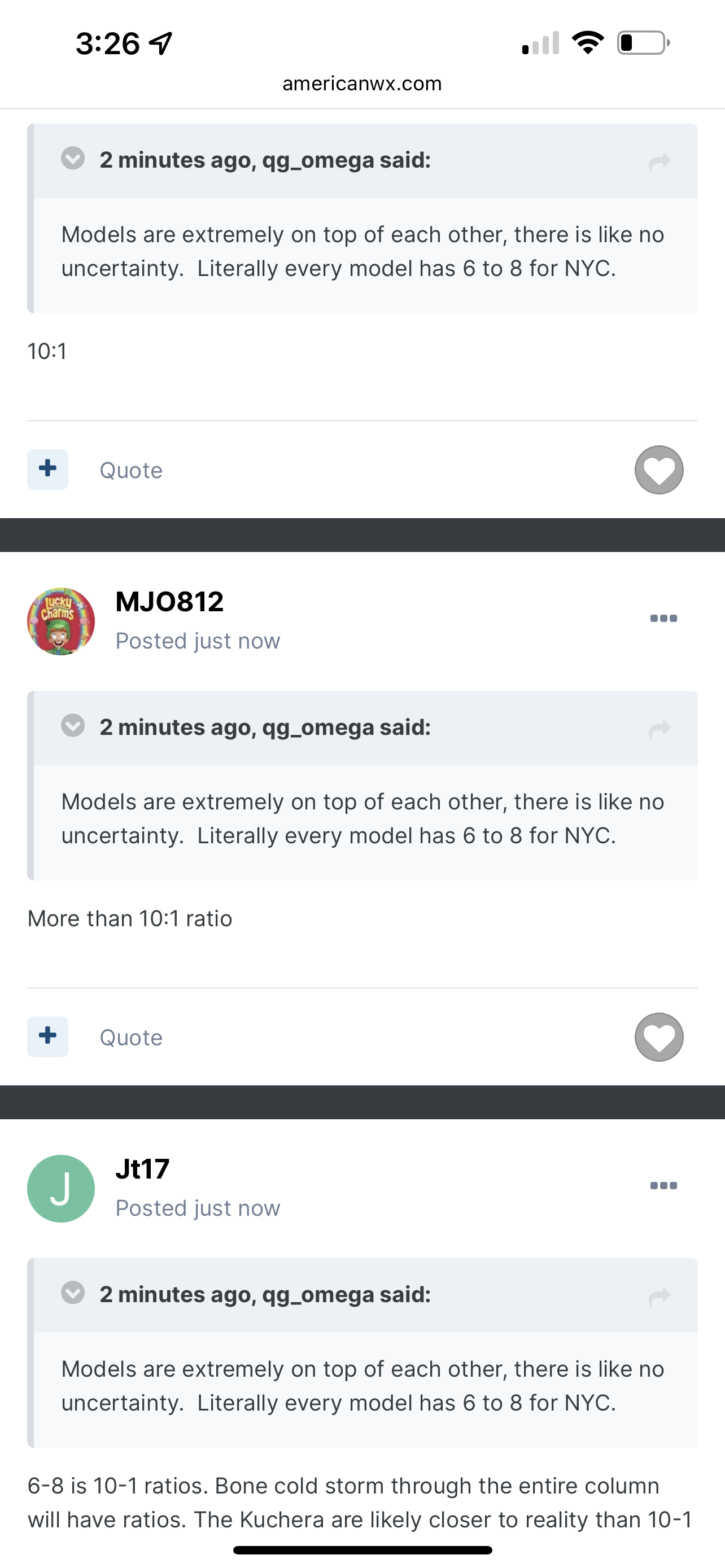
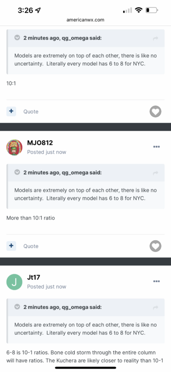
6-8 is 10-1 ratios. Bone cold storm through the entire column will have ratios. The Kuchera are likely closer to reality than 10-1
-
I know but it actually got rid of the double low for longer this run than last. Up to hour 18 there was an inch more snow as a result even though the "west" low (and the only low at this point) was centered slightly east to previous runs.
-
Nam looked a little more organized through hour 18 before eventually succumbing to the double barrel look which tugged the best snows east. Would like to see if other models especially the mesoscale models start to delay the double barrel look or eliminate it.