IowaStorm05
-
Posts
1,486 -
Joined
-
Last visited
Content Type
Profiles
Blogs
Forums
American Weather
Media Demo
Store
Gallery
Everything posted by IowaStorm05
-
That doesn’t look good at all and is so inconsistent with NAM and RAP. A lot of disagreement for inside 24 hours
-
I see this storm is requiring a bit technical crunching to predict beyond simple model output. With that in mind what totals do you think that means for the Tolland/JC/Myself land? Think we can clear 8?!
-
This is what I trust and want to trust more. I love the NAM inside 36
-
It seems oddly south too. Is it even reliable 25 plus hours out? Like it gives us nothing
-
In general, as long as you’re close enough to the storm this is because of land elevated lower temps and even orographic support?
-
I’m in a likely decent place for this. Surrounded by higher hills just to our north, which can’t hurt either
-
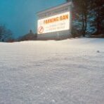
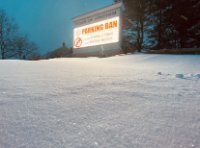
My pre storm pre sunset photo of MBY. Notice the mini mountain ridge that lies before the train tracks behind it. I like to stare at that, and imagine it’s the Carson range I used to stare at when I was a kid in Sparks, NV.... and would watch the snow levels creep down to us slowly. its basically a 2-5 crusty cover, and in my mind is like getting 3 free inches to add to tomorrow’s!!!
-
I love Southern New England
-
I agree the Euro is standing alone mostly compare to the other 4 or so models I use. I’m a pivotal pig
-
Sometimes it snows.
-
So nothing too consistently modeled a big hit on the coastal plain looking forward, but potential opportunity to trend that way one one day or another
-
SO 2000s emo punk rock era
-
I noticed a 2.5 inch report from North Windham which is a couple miles away but you just know it was probably akin to measuring the depth of glitter you poured on the kitchen table after having turned on the overhead fan.
-
We maxed out at 31 degrees after which it has dropped back to 30. Never any sleet
-
An anti weenie
-
Omg I never saw! And with sigh of relief, yes I can assure you!
-
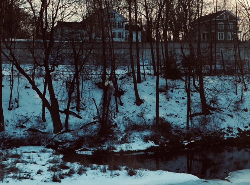
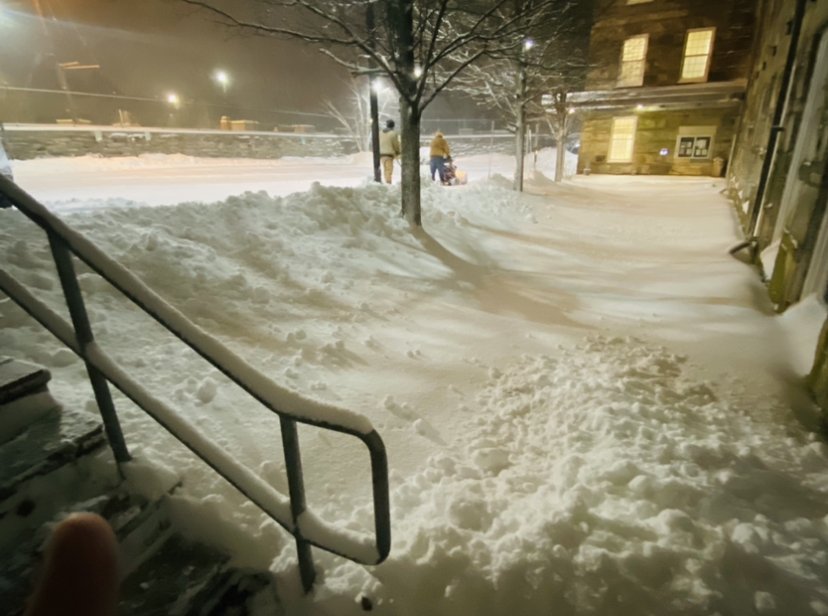
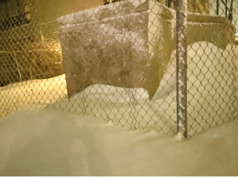
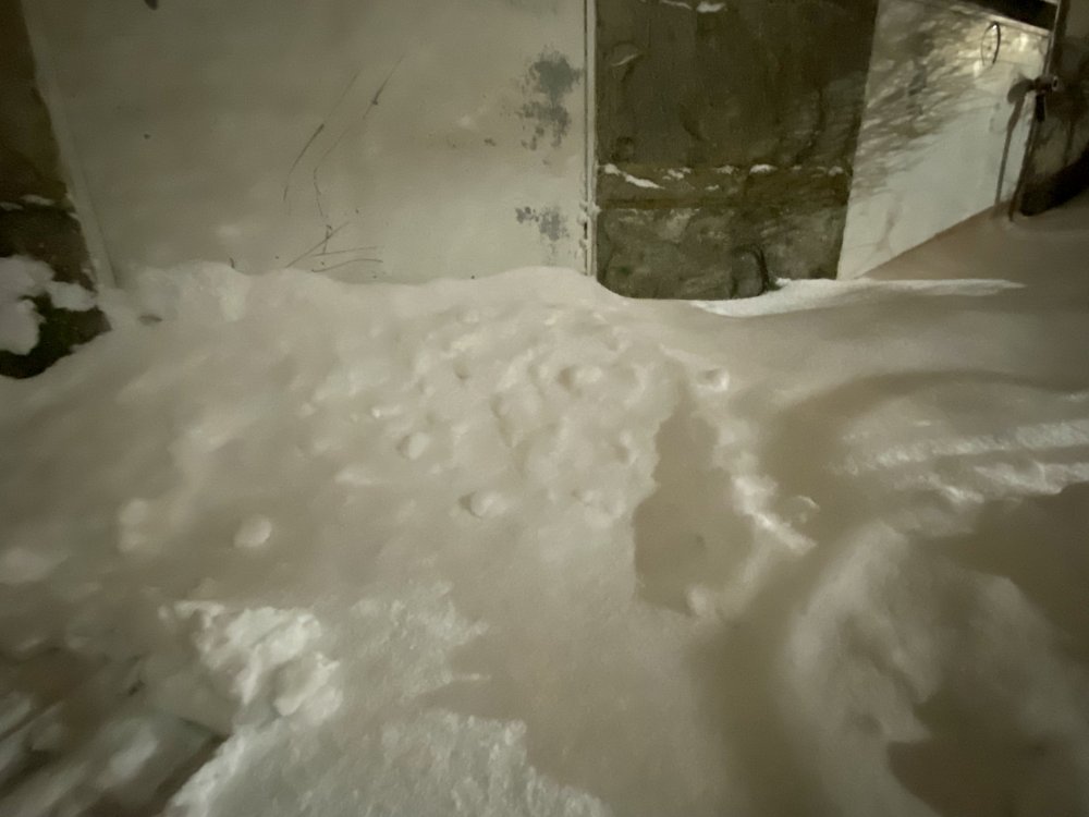
Pretty hard to be able to measure this. Many open areas are still 4-8 inches deep, but the drifts are 1 or 2 feet deep in places, with lesser drifts also around. I’m definitely betting my little river canyon location is among the lower totals for the state.
-
It has that appearance of doing what it usually does with these storms... lifting up and out. But despite superficial band motion I get the feeling that the energy that is causing this is really sort of semi-stalled. You’re right it will eventually lift out. WHEN is harder to wrap my head around
-
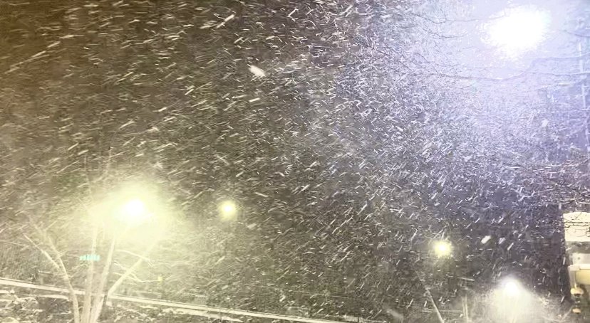
Relentless
-
My question ten minutes ago has been answered
-
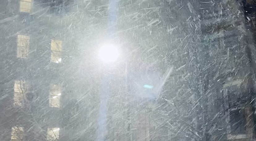
That can change things. And I can barely see across the river anymore.
-
Considering dryslot development possibilities for us, and yet, some fill-in banding popping up a bit further SW of LI, SW of the dry slot edge. Hmmmmm
-
More intense snowfall rates yet still. Biggest resultant change since last check is in the form of quickly growing drifts.

-
It keeps filling in down there!!!