

ineedsnow
-
Posts
22,144 -
Joined
-
Last visited
Content Type
Profiles
Blogs
Forums
American Weather
Media Demo
Store
Gallery
Everything posted by ineedsnow
-
18z HRRR looks fun
-
URGENT - WINTER WEATHER MESSAGE National Weather Service Boston/Norton MA 1218 PM EST Wed Mar 4 2026 CTZ003-004-MAZ002-004-008-009-012-026-050630- /O.NEW.KBOX.WW.Y.0013.260305T2200Z-260306T1700Z/ Tolland CT-Windham CT-Western Franklin MA-Northern Worcester MA- Western Hampshire MA-Western Hampden MA-Southern Worcester MA- Northern Middlesex MA- Including the cities of Putnam, Union, Charlemont, Chesterfield, Fitchburg, Milford, Willimantic, Blandford, Worcester, Barre, Ayer, and Vernon 1218 PM EST Wed Mar 4 2026 ...WINTER WEATHER ADVISORY IN EFFECT FROM 5 PM THURSDAY TO NOON EST FRIDAY... * WHAT...Mixed precipitation expected. Total snow and sleet accumulations up to two inches and ice accumulations between one-quarter to one-third of an inch. * WHERE...Interior high terrain of Southern New England. This includes the eastern slopes of the Berkshires, Worcester and northwest Middlesex Counties in Massachusetts, as well as Tolland and Windham Counties in Connecticut. * WHEN...From 5 PM Thursday to noon EST Friday. * IMPACTS...Travel could be very difficult, with tree and powerline damage possible. The hazardous conditions could impact the Thursday evening and Friday morning commutes.
-
41 here meh
-
-
Increased precip in PA also.. hopefully we can increase with 18z and 0z today
-
Idk I think this trends a bit colder.. lots of snow otg.. and a fresh cold drain from the NE.
-
3k gone wild for some
-
I just hope my drive to work isn't like this morning.. Rt 2 was a disaster traffic stopped at one point driving in..
-
I do but wait and see.. someone will get nailed.. been mentioning this for 5 days or so now
-
Hopefully the heaviest precip ends up over SNE tomorrow night.. let's juice this up
-
-
Rt2 is a disaster.. saw 3 accidents in leominster and cops looked like they were heading to.another one as I was getting off my exit..super icy
-
0z HRRR gets to 44 here tomorrow but cooled a couple from 18z
-
I cleared mine.. driveway will probably be wicked icy hopefully it can melt a bit tomorrow..
-
its nasty out.. should be a fun 4am drive
-
if the rest is zr.. then we might get a good amount by morning.. radar looks good.. currently zr and 25 degrees
.gif.ca1ea3a375534005d86fe923f250ee1b.gif)
-
Over to zr now
-
Not even close
-
RGEM was showing this yesterday.. Hopefully it scores for.Thursday night
-
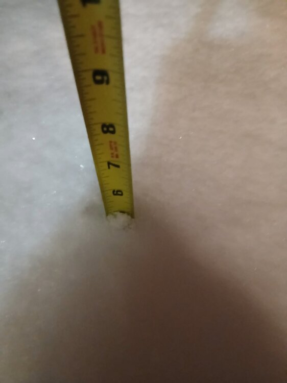
Flake size.and rates were awesome!!!
-
Start one for Thursday night
-
We pray for zr
-
5 here sleet snow mix now
-
Massive flakes and puking snow... holy shit
-


