
UnionCountyNCWX
-
Posts
284 -
Joined
-
Last visited
Content Type
Profiles
Blogs
Forums
American Weather
Media Demo
Store
Gallery
Everything posted by UnionCountyNCWX
-
The storm near Gastonia apparently decided to alter its course and build almost due east towards CLT. temp down to 81. No precip and building thunder.
-
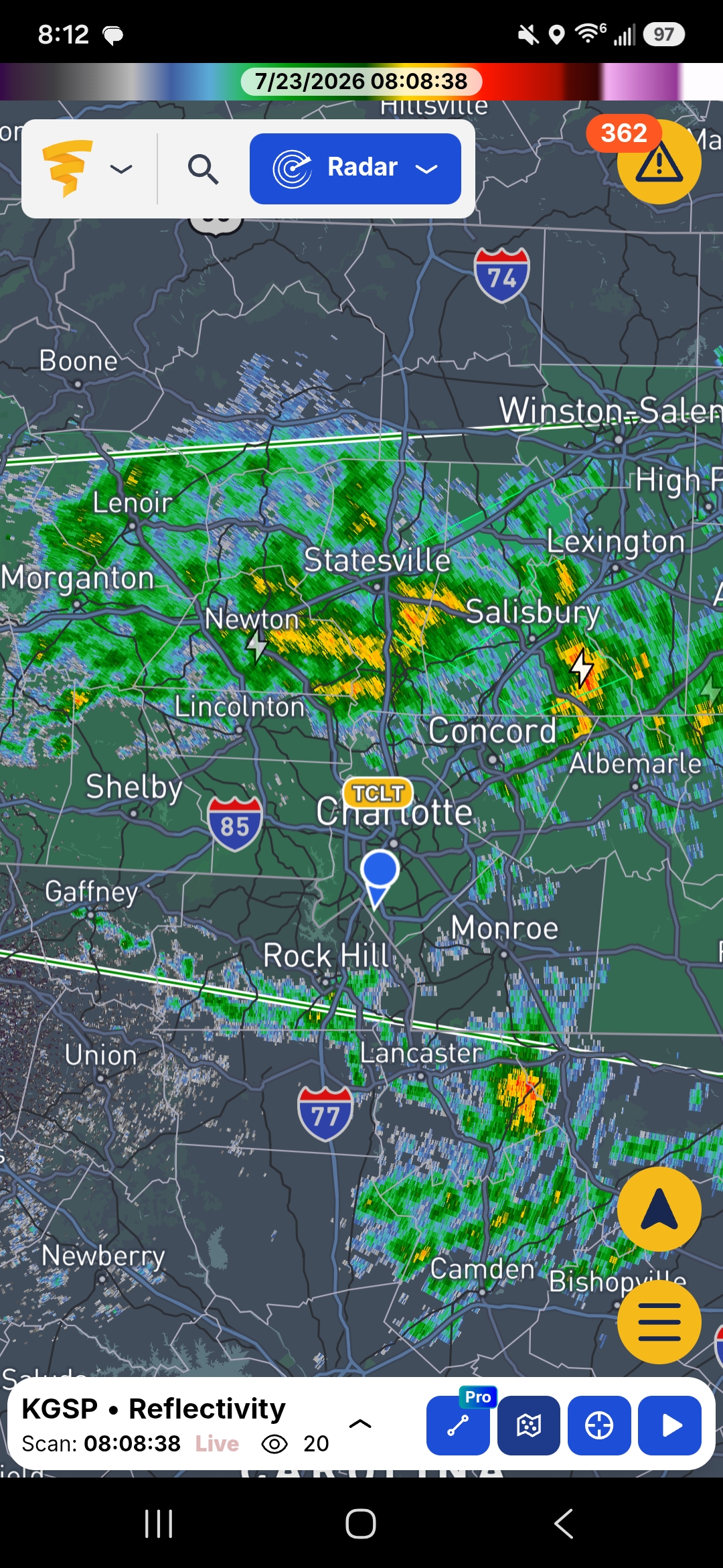
Light to moderate rain in CLT. Temp of 83. Storms fell completely apart approaching the city
-
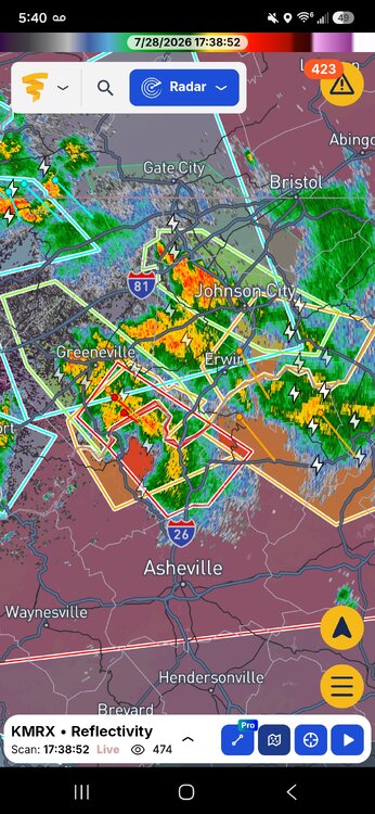
First NC tornado warning for today. Heavy cloud cover in CLT once again. About to head to the airport and hang out for a bit and watch it roll in.
-
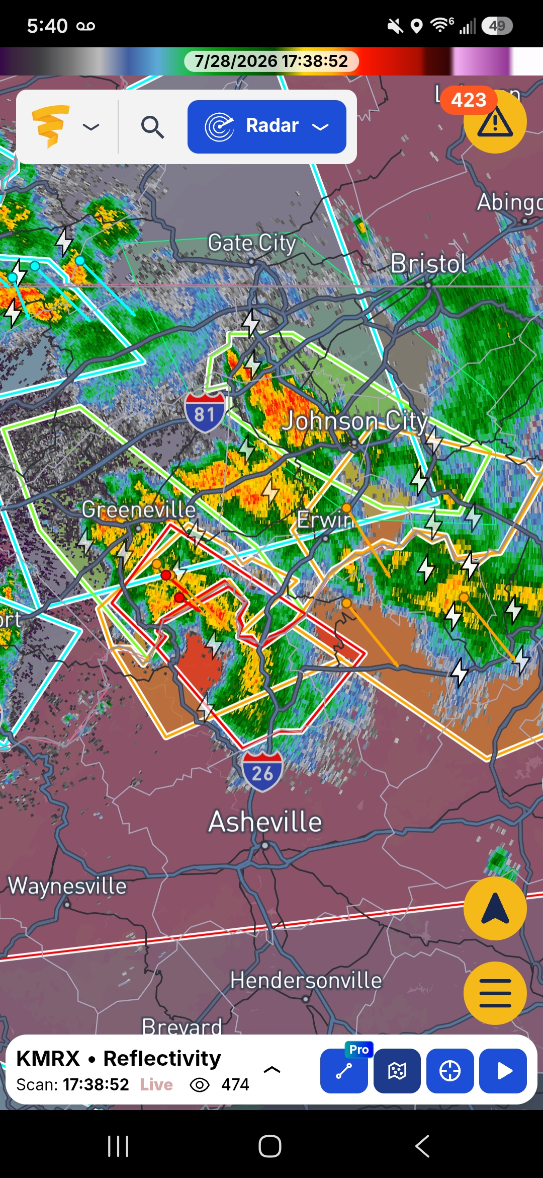
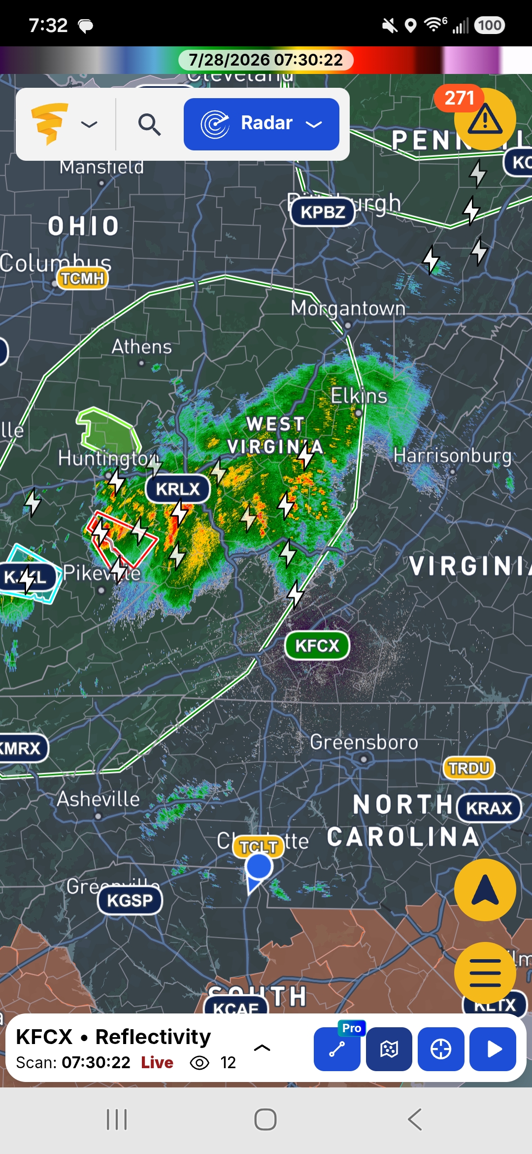
First tornado warning south of Bluefield, WV Guess we can go ahead and say Tornados may actually be possible thus evening.
-
Skies in charlitte started clearing up around noon and have been in full sunshine since. The one lone cell looks like the cloud deck is over NE of Meck Co moving SE so charlotte proper looks to have full sun til go time
-
Substantial cloud cover in CLT, it appears the initial line is currently has slowed it's build to the south and may slide east of CLT. Question after that becomes "will the cloud cover dissipate?" More scattered light showers behind the main line that may make into CLT, but the mountains appeared to have done their normal thing and shredded the western flank.
-
SPC UPGRADED tornado probabilities for the CLT area and NE up to 5%. I didnt see that one coming.
-
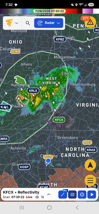
And a last second major wild card for this evening has shown. Heading SSE, this could thwart the severe threat for a lot.
-
Question for tomorrow. Do we see increased cloud cover late morning and early afternoon? Or do we clear out? That's gonna be the deciding factor. Girlfriends flight lands around 8pm tomorrow evening at the charlotte airport. Might get interesting.
-
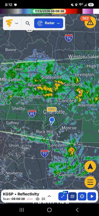
ZERO so far in South CLT. Storms to the north, storms to the south. but NOTHING just north of the NC/SC line in Meck. lol
-
That's a good appetizer, but for most we still need an entree.
-
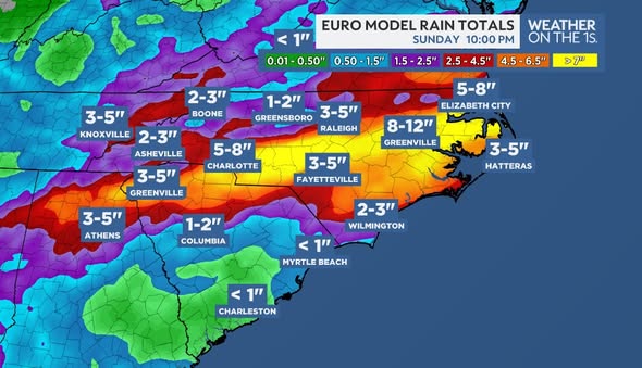
Mr. East posted this just a bit ago. We can't fail this close to cruchtime can we? lol
-
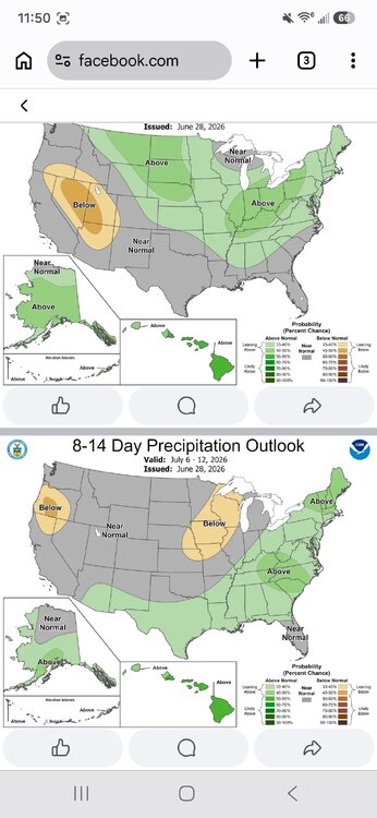
Looking like Sunday and Monday a lot if us will be in the 80s. Unless.....the expected happens and the "increased chance of showers and thunderstorms" disappears again. A least a small reprieve.
-
Hot.
-
I dont have numbers as ive been at a pinball tournament. But you could literally feel the change in the air over the past few hours in Charlotte. Went from being "reaonable" to just absolutely soupy.
-
-
My phones weather app doesn't have a single day at 100 or above for CLT now. (Yes I know its not accurate but hey Im trying to be positive lol) There is like 4 99 degree days in a row on there so not much difference but it beats the 103 and 104's that were being posted last week that I haven't really seen any of lately.
-
yea I read your post on this thread and then it crashed lol
-
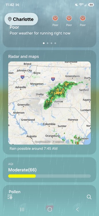
Let it be known that literally no one called for this..... but we will for sure take it. What a beautiful surprise this morning.
-
Moderate rain in south CLT. most we've gotten in weeks
-
We got DRIZZLE in CLT! DRIZZLE I tell ya, almost got my car wet.
-
Ladies and gentleman, the broiler is about to be turned on.
-
What im hearing is the LP is shown to be actually strengthening as its coming up through Georgia which is why model outputs look a little different this morning. I want to say "for the better" but also showing increased wind and heavy rain may be an issue for limbs and power lines.
-
RDU officially recorded 101.
-
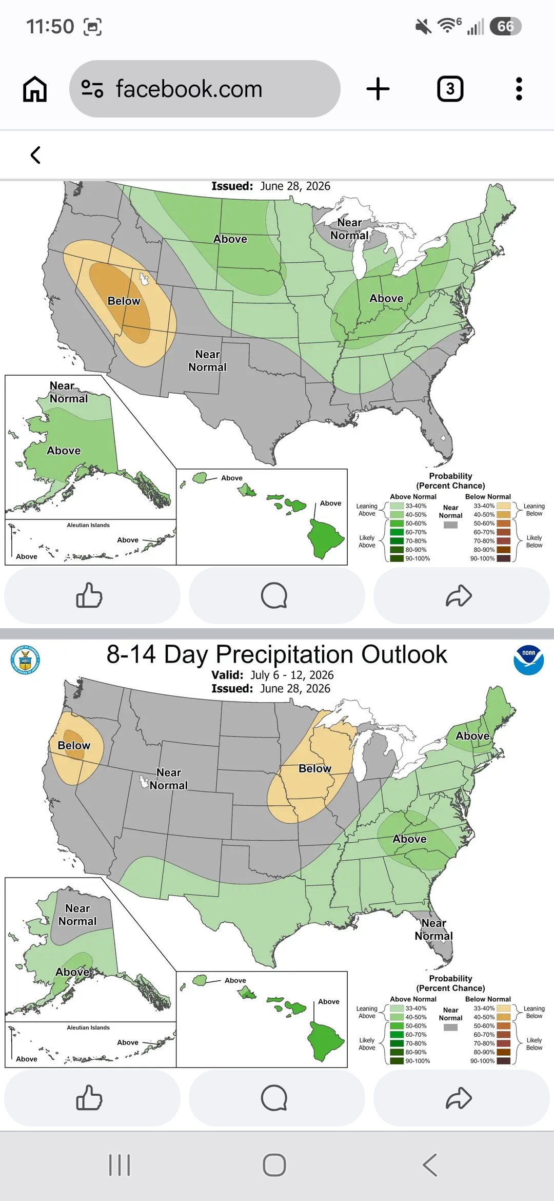
Latest GFS doesn't show a whole lot of promise. the only "meaningful" rain fall set up looks to be next Tuesday and Wednesday. Sure the overall isolated/scattered afternoon storms seems like a good bet just about everyday. but only one real chance of an area wide rain through basically the end of the month.