nesussxwx1
-
Posts
170 -
Joined
-
Last visited
Content Type
Profiles
Blogs
Forums
American Weather
Media Demo
Store
Gallery
Everything posted by nesussxwx1
-
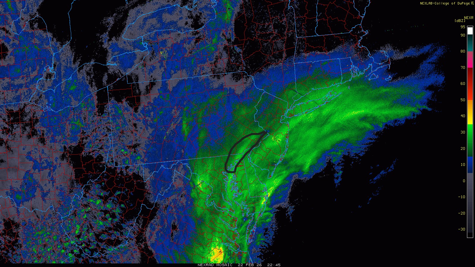
You can see the famous western death band forming in Chester Co, there'll be a western edge JP somewhere along the West Chester - Quakertown corridor.
-
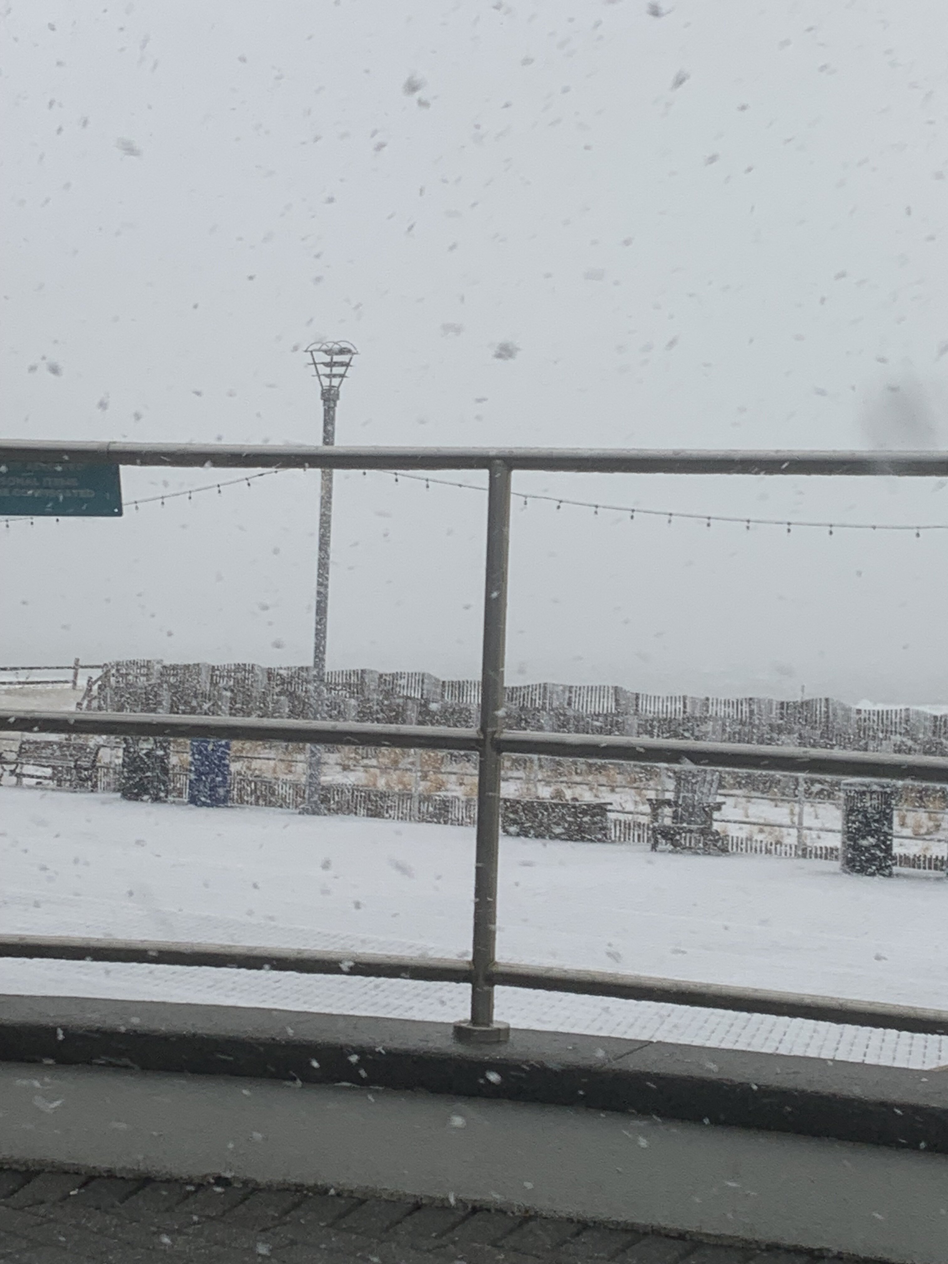
Roads have completely caved in Hammonton as I drive westward towards the city. A few accidents already.
-
Heavier echoes will enter the Philly area in the next hour or so. We are ready for blast off.
-
Was a thing of beauty!
-
Measured 3.5" in Southern Atlantic County. Whoever ends up in that banding when the storm pivots will see 20"+.
-
Absolute carnage
-
Hoping this is what cools the column and flips us to snow.
-
Feb 22nd/23rd "There's no way..." Obs Thread
nesussxwx1 replied to Maestrobjwa's topic in Mid Atlantic
Heavy rain w/ winds picking up drastically here in Cape May County about 20-30 miles to your east. 38/36. Hoping for a changeover soon. -
Heavy rain on ACY / Cape May corridor. This is heading north.
-
Meh. Makes me want to puke. Still a decent output overall, but nothing historic.
-
RGEM looking likely to score a coup.
-
Latest HRRR is quite tucked. Looks good.
-
NYC: 13.8 LGA: 17.90 ISP:18.55 JFK:17.00 EWR: 15.45
-
Don't look at the RGEM folks..
-
Feb 22nd/23rd "There's no way..." Obs Thread
nesussxwx1 replied to Maestrobjwa's topic in Mid Atlantic
Don't look at the RGEM folks.. -
Feb 22nd/23rd "There's no way..." Obs Thread
nesussxwx1 replied to Maestrobjwa's topic in Mid Atlantic
39/35. Moderate to heavy rain. Gusting to 30-35 MPH. Cape May/ACY corridor. -
Let's see how this turns out for DC folks. If they do well, western edge will overperform. I just don't like the trends down there this morning, but too early to call a bust.
-
DC folks are getting bent up. Not a good sign.
-
Need this to verify.. would be an all-time great.
.thumb.png.e528a4b6343b769f605af0b67eb51408.png.47ad09229264b746d3d729f5d05026f4.png)
-
40/36. Moderate to heavy rain. ACY.
-
40/36. Moderate to heavy rain. ACY.
-
The February 22-23 Late Season Miracle: JV Disco/Banter Thread
nesussxwx1 replied to bncho's topic in Mid Atlantic
Dover should do as well as ACY. -
Great write-up. This also demonstrates why it's so hard for models to pinpoint storms with these setups.
-
RGEM doesn't like the western edge at all. Either we get 6-10" or 20-30". No inbetween with this storm.
-
Toms River is consistently the bullseye on all models.