nesussxwx1
Members-
Posts
167 -
Joined
-
Last visited
Content Type
Profiles
Blogs
Forums
American Weather
Media Demo
Store
Gallery
Everything posted by nesussxwx1
-
E PA/NJ/DE Spring 2026 Obs/Discussion
nesussxwx1 replied to PhiEaglesfan712's topic in Philadelphia Region
Down to ~45F. About a ~17 degree drop in 45 minutes. -
E PA/NJ/DE Spring 2026 Obs/Discussion
nesussxwx1 replied to PhiEaglesfan712's topic in Philadelphia Region
Power flickering. Seeing temperatures down 20-25 degrees in some parts of SEPA. Impressive front. -
Damn, wonder how Sussex did then. It looks like the extreme NW edge of this storm underperformed.
-
Ocean County was dealing with tons of subsidence last night. Should make up for it this AM though.
-
Wow.
-
Just saw some lightning! 2-4"/hr rates.
-
Heaviest snow of the night currently falling.
-
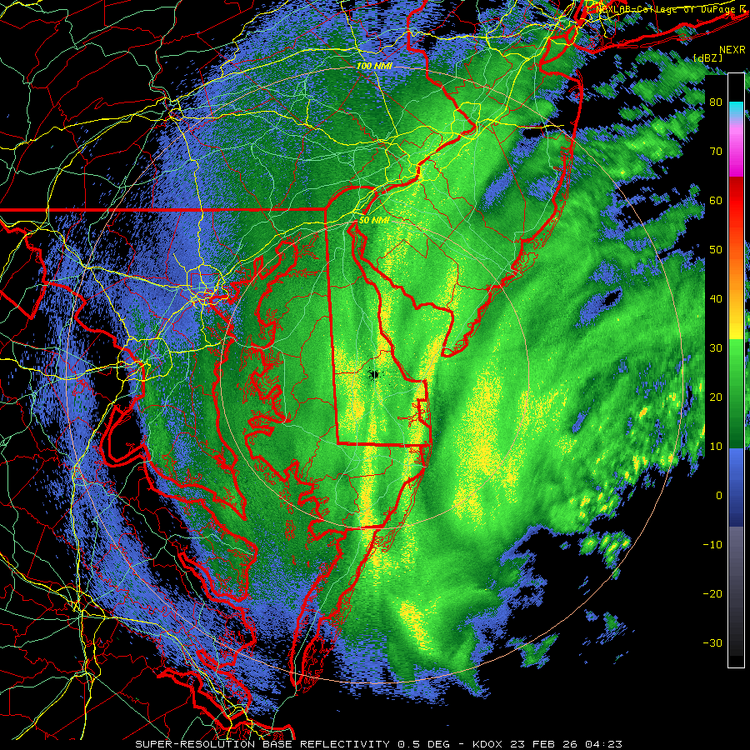
Radar just lit up over Philly. holy smokes.
-
-
That death band might pivot over Philly. Would be insane.
-
Great shot!
-
haha, was wondering who was tailgating me . assumed it was another weather geek like myself.
-
I left ACY a while back. Heading home now, roads are treacherous.
-
It'll bust very low in SWNJ as well. Had me panicking for nothing.
-
Measured 6.1" in Atco. The last two hours or so have been insane.
-
2-3"/hr rates.
-
Making my way westward now. Snow intensity instantly picked up as soon as I entered Camden County. Seems like Atlantic County is in a bit of lull for now until later tonight.
-
Heavier echoes are having no issue pushing into western edge. I hope Reading can get into the action soon.
-
-
Parts of CNJ have upwards of 5-6". Should be an all-timer for coastal central jersey.
-
Latest HRRR looks solid.
-
How do the roads look like out that way? Might decide to spend overnight in Atlantic County for safety reasons.
-
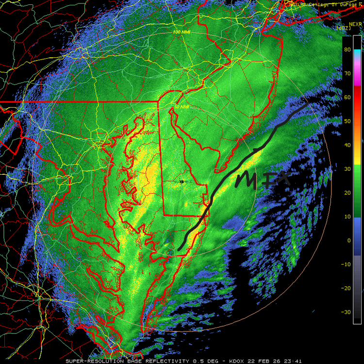
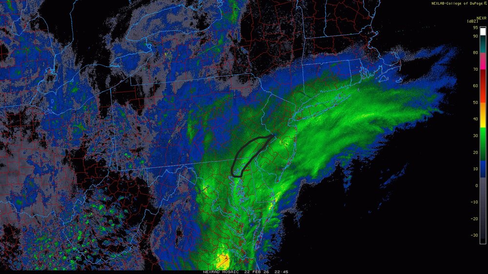
You can see the famous western death band forming in Chester Co, there'll be a western edge JP somewhere along the West Chester - Quakertown corridor.
-
Roads have completely caved in Hammonton as I drive westward towards the city. A few accidents already.
-
Heavier echoes will enter the Philly area in the next hour or so. We are ready for blast off.


