

binbisso
-
Posts
728 -
Joined
-
Last visited
Content Type
Profiles
Blogs
Forums
American Weather
Media Demo
Store
Gallery
Posts posted by binbisso
-
-
-
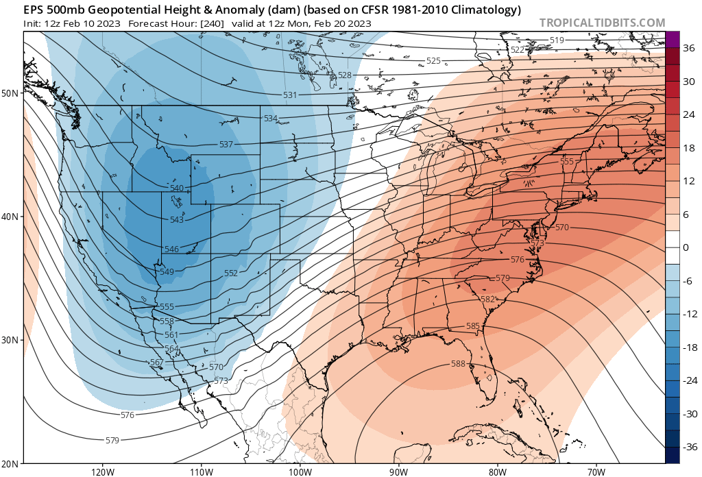
Gfs colder nice for our area
-
 2
2
-
-
Mod snow big flakes solid coating so far
-
1
-
-
6 minutes ago, Rtd208 said:
It looks like a period of light snow/snow showers tomorrow. It would surprise me if some areas pick up an inch or so.

Sneaky little event. Short range models like nam hrrr and rap getting interesting. Temps will be in the 20's. Whatever falls should stick. Not expecting much but an inch would equal Biggest snowfall this Winter
-
1
-
-
Snowing here in White Plains
-
1
-
-
2 minutes ago, snowman19 said:
I’ve seen it before. The models have been doing it since November. They show a knocked down SE ridge/WAR in the mid-long range only for it to verify much stronger as we move forward in timeYea I hear you but this time it's across all guidance and gaining traction as we get closer. It's not fantasy land. Now whether it snows is a different story
-
1
-
-
This winter has sucked and persistence has won out however this upcoming period may be different. This is the first time I've noticed the se ridge get knocked down this close.
New run
Old run
-
1
-
-
7 minutes ago, winterwx21 said:
RGEM has been an excellent model, so it's hard for me to get interested in wednesday as long as RGEM doesn't want anything to do with it. NAM is such a crazy model and has been terrible, so I'm assuming it's going way overboard for wednesday. Even the 3km NAM doesn't look anything like the regular NAM.
The rgem can be warm at times. Like today. It's snowing already here in Lower Westchester and the rgem up to 12z today had me as all rain. Maybe it will be right for Wednesday but it is wrong today
-
1 minute ago, wx2fish said:
Was wondering how it looked, pivotals maps are all blank
-
1
-
 1
1
-
-
2 minutes ago, weathafella said:
Little clipper per gfs. Maybe 1-2.
I think that clipper is the key to this system being snowier. Other models don't have it except the GFS and the 18Z nam
-
1
-
-
Euro went from 2"+ of rain to less than half an inch for my area lol
-
2 minutes ago, CoastalWx said:
What the hell is the euro doing lol. It’s a mess.
It's almost like a cf passage
-
Better trends on the op so far. Let's see what the ensembles show
-
Cmc would be good for most
-
1" here in Mt Vernon on colder surfaces. Coating on pavement
-
Moderate snow here in mount Vernon, Lower Westchester coldest surfaces have a coating.
-
-
3 hours ago, frd said:
Several mets are indicating that leading up to Christmas will be cold. What are you basing toasty on ? Various ensembles show a - EPO leading up to Christmas, a continued - NAO, - AO and a neutral PNA. I hope this year Christmas would at least be seasonal.
He basis his forecast on the op gfs.
-
1
-
-
14 minutes ago, Dan76 said:
Like this ?

No like this
18z gfs
-
1
-
-
17 minutes ago, LibertyBell said:
But wasn't the 13th always the target date? Somewhere around that date was always supposed to be the first realistic possibility at snow.
Yes But the GFS has been a blowtorch The last week And other guidance has been waffling back-and-forth. Guidance didn't even have the system for this weekend 2 days ago. This Just popped up CMC was the 1st to see it.
-
2
-
-
Models have been really struggling with the blocking pattern. 11th/12 now a legit chance at our first snowfall.
-
2
-
-
Huge changes on the 6z gfs. It Now has the low pressure on the 11th and 12th similar to the cmc. It blows that system up in the North Atlantic near the 5050 region and will probably affect the low pressure on the 14th and 15th.
-
4
-
-
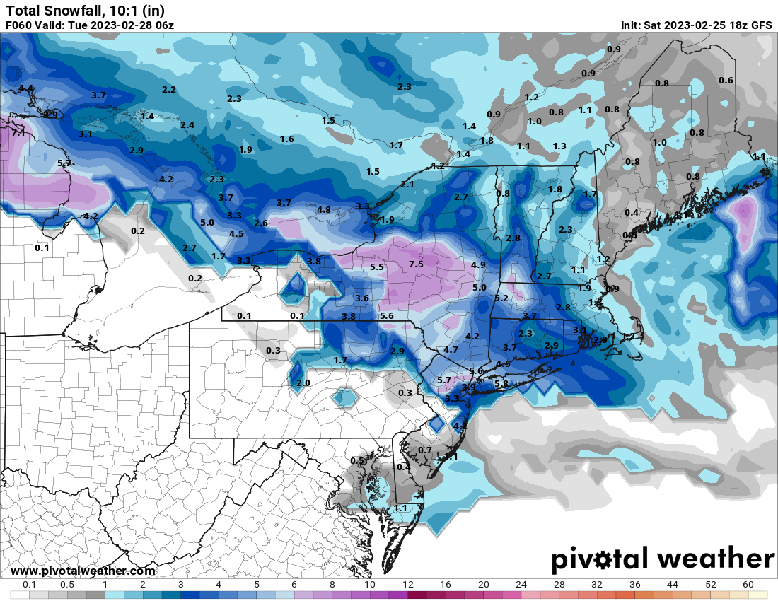
Knyc 32"
Ewr 37"
Mmu 41"
Isp 45"
Swf 53"
-
I'd be very surprised if by December 15th those living North and West of I287 and near I 84 don't receive accumulating snow. In those areas the average high temperature is in the mid and upper thirties and lows in the mid twenties So any system tracking underneath us with this NAO block even with a crap airmass would produce for them which by the way is half of this sub forum. We may have to wait a little longer in the New York City metro Long Island in central New Jersey
-
2
-


2/28/23 storm threat
in New York City Metro
Posted