

ORH_wxman
-
Posts
93,092 -
Joined
-
Last visited
Content Type
Profiles
Blogs
Forums
American Weather
Media Demo
Store
Gallery
Everything posted by ORH_wxman
-
Yeah unhinged was probably hyperbolizing it a bit. We'll have to wait until this winter when Ray's area down to my area gets smoked in a classic 128/495 storm while you are 39F and heavy rain....Bryce will learn an entire new set of swear words. You'll make crankywx look even-keeled and logical.
-
He’s gotten a bit unhinged in the retaliation against ACATT. I’m a little worried.
-
Yeah that looks about right....looks like the spread is closer in August.
-
Sept furnaces are fine....unless they are truly historic, they usually lack a big punch like we see earlier in the summer. The really big stuff usually only ends up as like one day of 90+....unless maybe you are on the tarmac at BDL. I want it above average until maybe mid november. I'll embrace a couple cold shots to remind us the season is changing, but for the most part, give me like 80/55 in Sept and 70/45 in October.
-
Btw, is Kevin still using the NAM for tomorrow or did he give up on that model?
-
That's usually going to be the case...at least for ORH. Off the top of my head, I know that the summer high temps have a higher standard deviation than the low temps so you are typically going to see the high temps drive the departure on an absolute scale. But on a standardized (sigma) scale, it may be different. I haven't actually calculated to see which has a higher sigma value this summer. My guess is that it is close....the high temps have been very warm....they just haven't been driven by extreme heat. More the "lack of cold max temps". Very consistently hot max temps....just not extremely hot where we see a lot of record max temps fall as in past hot summers.
-
Yeah if it’s one of those 240” winters there, that’s gonna be a hoot....
-
We’re due for some interior crushers. The classic 495 to 84 type storms. Haven’t seen a lot of those recently. I guess Dec 1-3 last winter was pretty close though down in your area didn’t get as much as like N CT to interior MA.
-
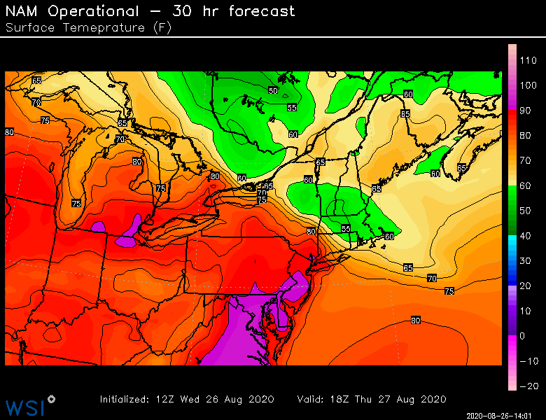
Keep tickling that front Southwest for Thursday. 18z guidance liking the idea.
-
Yeah. I just told kevin I’d remember this summer as hot. But not like 2010-2012 years when we were busting out 95s and 96s at ORH. Same reason people don’t remember a 23/-10 day with calm winds and radiational cooling as colder than a 14/0 day with ripping CAA. The “Science says” the 23/-10 Day was colder but nobody is going to remember it like that.
-
Yes. I won’t remember it as brutal as the 2010-2012 summers for example.
-
Yes. Coldest month on record for ORH and BDL. #2 and BOS and PVD.
-
BDL becomes complete anathema to Kevin in the winter. He won’t even mention them after October.
-
1934 had a colder peak arctic outbreak but yeah...pretty amazing. Never thought 1934 could be surpassed.
-
Yeah don’t sell the min temps short that month. They were fricken cold. It just got completely overshadowed by the apocalyptic snow.
-
4 max temps of 90+ at ORH this summer. Thats their long term average too. That’s all you need to know about the maxes up here....it was almost all consistent high mins and above average highs with very little onshore flow or BDFs or stratiform rain events. Not impressed by the magnitude of the heat at all. Just the consistency of it. Down on the BDL tarmac it was clearly more impressive.
-
2016 is a tough bar to clear. Lowest temp readings at BOS and ORH since 1957. I think ORH had 7 lows below 0F in Feb 2015 which is really good for February. Peaked at -9F which ties the Jan 2011 cold shot and beats the Jan 2005 cold shot (-8F) right before the blizzard that year.
-
Thankfully I think ORH will fall back below 1949 before August finishes for hottest summer...cant let a summer with a weak-ass 4 days over 90F get the crown. 1949 had 17 I think. Lol.
-
Summer 2020 Banter and random observations
ORH_wxman replied to Baroclinic Zone's topic in New England
Can you get the American chestnut to survive to maturity without the blight attack? -
You'll have to explain to me what I am backpedaling on. You were the one who made a ridiculous short term prediction that will bust. Not me.
-
Yes....that doesn't change that you said there was no way the cool shot would trend south.
-
Sometimes I feel that way but then I think about how many cold Marchs and Aprils we’ve had recently...although this year March was finally a torch again but then April took a dump on our face. Its also funny, we were getting so many warm Novembers for a while but the last couple have been absolutely frigid including our coldest November day on record in 2018. Recently, February has been a torch too after a string of cold and snowy ones from 2013-2015. Going on a strictly empirical analysis, December has warmed the most in our area (about 0.5F per decade) while January (about 0.15F per decade) has warmed the least out of the winter months. If you want the one month that hasn’t warmed at all (at least quickly looking at ORH airport since it’s inception in 1947)...October is your month.
-
No we came down yesterday. My grandparents have a place in Yarmouth that they don’t use much anymore. We got a pretty epic sunset at grays beach last night. With the boys playing out on the sandbars while it happened. Let them stay up late. Lol.
-
I should go knock on Phil’s door. He’s like a mile away from here, lol.
-
In Yarmouth right now. Hopefully that storm hold together.


