

ORH_wxman
-
Posts
93,092 -
Joined
-
Last visited
Content Type
Profiles
Blogs
Forums
American Weather
Media Demo
Store
Gallery
Everything posted by ORH_wxman
-
2001 also kind of didn’t have the PV on our side for the most part. It was more over toward Europe and east Atlantic. Monster blocking in 2001 though. We did get a PV lobe in southeast Canada early that month which phased with the main trough to produce the interior New England HECS. But 2018 is prob the best example of not having the PV anywhere near us but still a prolific month due to the excessive blocking. That month didn’t have high end cold at all. We had basically a climo airmass for the first snow bomb on 3/7-8. A little colder for the Wilmington jackpot storm but still nothing impressive temp-wise.
-
Let’s go March 2018…PV on other side of pole but we just crushed it with that blocking regardless.
-
If it’s been a decent winter, he sometimes gets “early-March curious”…he will pretend early March is an extension of February (which it often is)
-
Well I don’t know where they live but pretty much every time someone tries to “end winter” in New England that early, they are wrong. Unless it’s one of those epic ratter years like 1994-95 or 2019-2020. If they are talking about not seeing highs of 15F and lows of -10F again…yeah, that’s like saying we won’t see 95F again on August 15th…prob correct but there’s still going to be plenty of summer wx to get through.
-
Given climo, that December ‘89 stretch is still so crazy.
-
ORH stayed below freezing today to make it 12 days in a row. The record is 23. Don’t think we will reach that but not out of the realm. If they can get to 20, that will be 3rd all time. Two longest stretches? Dec 8 - Dec 30th 1989 at 23 days Jan 11 - Feb 1st 2003 at 22 days
-
The OP run basically had us N or BN almost the entire run. GEFS look warmer at the end of the run. I expect a period of AN temps but I’m not expecting a bunch of double digit positive departures like we saw for a week in January.
-
We had a brief warmup after Cmas around the 28-29th but yeah, the real warmup was 2nd week of January. It’s been pretty cold otherwise. I’m not on the torch train at all for mid-Feb. I think it will be AN but only modestly…seems like guidance has been trending to push systems underneath us as we get closer to that period versus the other way around. To be fair, even modestly AN will feel like a furnace given the previous 3 weeks.
-
That rotting NAO block combined with loss of cross polar flow sort of just keeps the geopotential gradient lower over the region which may work to our advantage if that rotting block successfully prevents cutters (which it does on this GFS run and various other model runs)…if it’s able to do that, then we could get some decent looks. It’s also the “pre-spring” look…I’m sure you will get what I mean…it’s not quite the full blown spring look with very rapid seasonal recovery south of us…but it’s def not “deep winter” across the CONUS anymore. It’s the r type of loom where we can have -7C 850 ambient temp atmosphere but you are hitting 37-40F during the day. But as soon as a system comes in from the Ohio valley and is forced underneath, that 37-40F turns to snow event in the 20s to near 30F. It’s basically a slightly colder version of the blue bomb look in late March when we’re pimping -1C at 850 with high temps in the 50s, but as soon as a bowling ball hits that airmass, it’s 32F and parachutes.
-
Warmth def gets centered west and north of us for mid-month (as currently modeled). That will keep us in the game for winter wx threats…and we’ve been seeing that on all guidance at different times.
-
Friday February 6 FROPA / WINDEX small event
ORH_wxman replied to HoarfrostHubb's topic in New England
Yeah we can expect 3-4” of fluff now. -
Biggest question mid month is do we still score some snow events despite the milder look. AI models really are hedging that way…OP models more mixed in their solutions.
-
Cape has had a sneaky good winter.
-
Yes. 2/13-14 on euro Skynet and GFS Skynet has a couple threats…one around 2/11 and another 2/15.
-
Both skynet models have been more bullish for keeping snow chances (even with moderated temps) than the regular model suites in the second week of February. We’ll see as we get closer if that’s more correct. They have been performing pretty well imho overall. They never got very bullish on the 1/31-2/1 threat (correctly so), stayed more bullish than OPs on both the 1/18-19 and 1/25 threats (also correctly). Still in clown range for now.
-
I also think the delivery on Saturday is a little more west than we want it for best realization at the sfc. Still damned cold stuff, but I like to see it drilling more from the NNW and this is NW to WNW even.
-
Evap cooling
-
The mid month SSW could def make March interesting. But there’s never any guarantee that happens. It does look like the WPO tries to reload after mid month. The Bering/AK vortex though will be stuck with us at least for a week, and perhaps a bit longer. The NAO will try to offset that some but it is still going to be a much milder pattern than we’ve seen.
-
Prob some decent members in there
-
It got slightly more juiced synoptically but the WINDEX aspect of it really ramped up. We got those crazy intense squalls that gave a lot of people 2”+ just from the squalls.
-
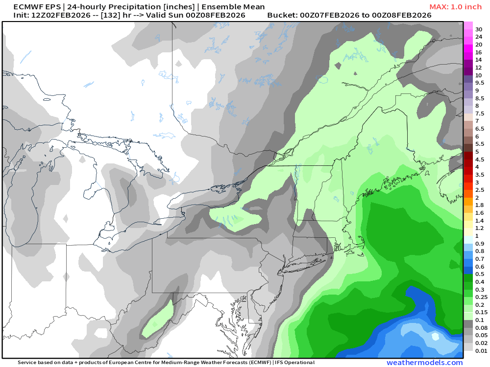
All Of us should see some snow showers but if we can get a little bit of moisture influx from the south as it hits the Atlantic, that could help with more widespread accumulations. We’d want that whole system to dig a bit more.
-
Getting stein in February sucks...fairly often you get pretty good precip in February when it's cold too because the seasonal recovery is already rapidly underway down south so you get these juiced baroclinic zones....not early on this month.
-
Skynet looked kind of interesting next week....OP GFS doesn't.
-
I love how it’s a clown range solution that’s a whisker away from a SWFE as proof it’s cutter season.
-
Gulf coast has been getting some ridiculous cold the last couple winters. Also 2 big snow events in the far southeast. Last year it was the FL panhandle getting a blizzard with like a foot of snow and then this year we had this weekend’s storm in SC and NC coastlines.


