Weather Will
-
Posts
7,315 -
Joined
-
Last visited
Content Type
Profiles
Blogs
Forums
American Weather
Media Demo
Store
Gallery
Everything posted by Weather Will
-
WB 0Z 3K NAM 7am Sunday (much colder) compared to 12K
-
WB 12K NAM at 63- my snow hole is back---
-
HR 60 changeover in DC; will compare to 3K when it is out that far.
-
57
-
HR 54
-
HR 51
-
WB 12K NAM HR 48
-
WB 12K NAM at HR 42 heights are tick lower over our area and there is a very heavy band of snow over southern Missouri which was not there at 18Z.
-
I think the 18Z EURO AI compared to 12Z tried to transfer to the coast sooner....as a result there there was a tick SE with the snow. Whether noise or trend TBD.
-
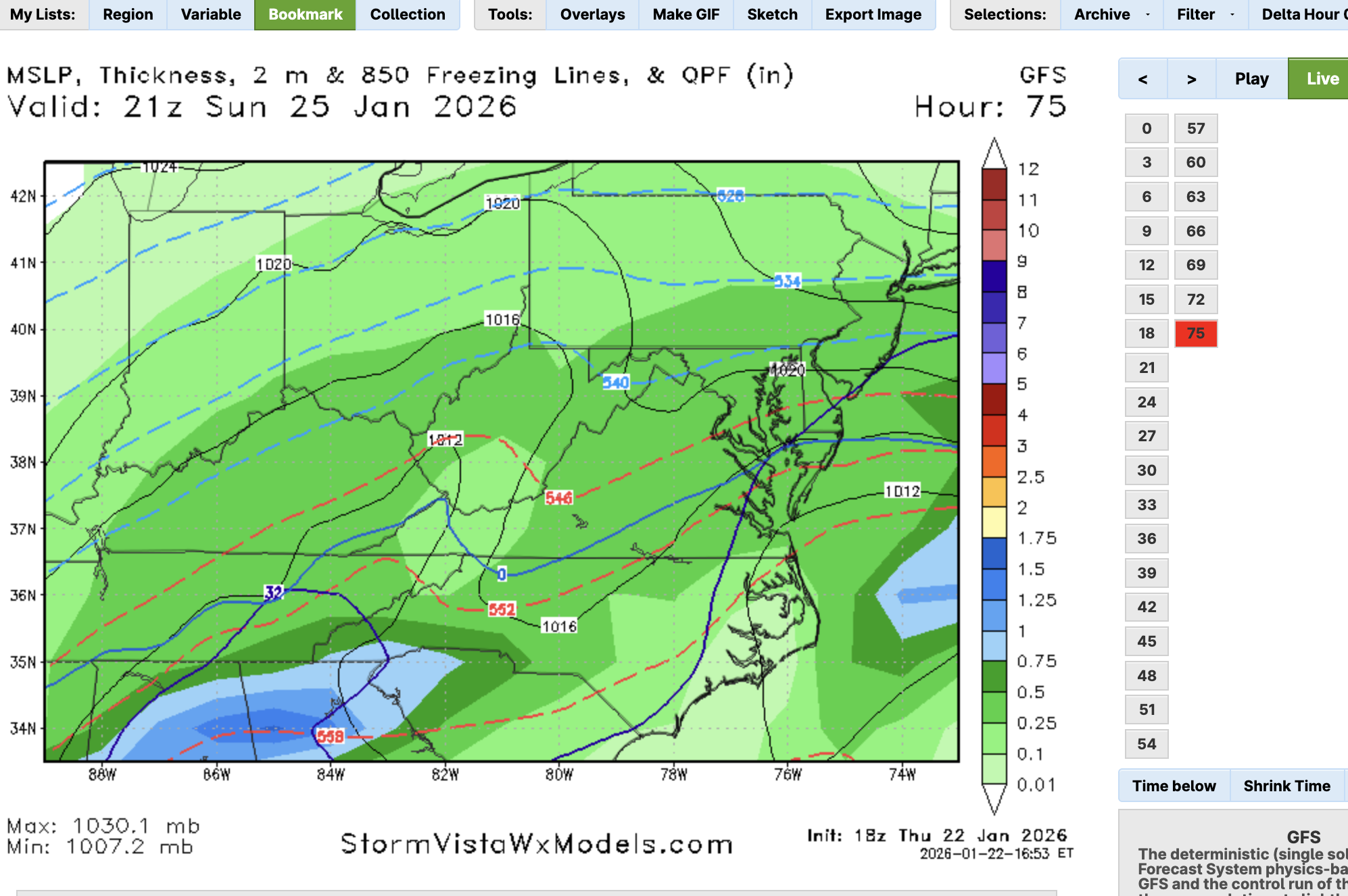
WB 21Z NBM
-
WB 18Z to 12Z EURO for comparison:
-
NW zones flipped a little later this run. Now we wait to see if just noise or a trend for 0Z.
-
WB 18Z EURO
-
Yes, 18Z EURO AI ticked south!!!
-
Here's hoping EURO will cave in an hour....
-
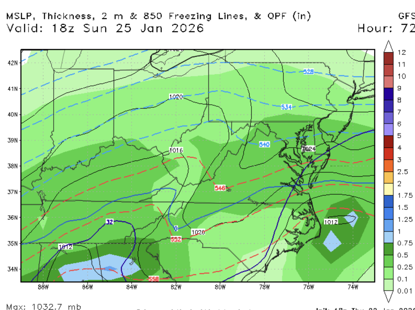
WB 18Z GFS
-
GFS is another crush job.
-
WB 18Z RDPS. I will take this in a heartbeat.


-
Latest WB Weekly Control run
-
Flip occurs for most by 4pm Sunday. Precipitation is less on latest run compared to 6Z.
-
The flip on the EURO happens about the same time, but rates before the flip are not as good.
-
For what it is worth. WB 12Z 12K NAM totals
-
Turns at 10 am.
-
WB 12Z 12K NAM 1am Sat, 7am (colder this run: third picture 7am 6Z);
-
NAM must run off a 1970 computer, it is so slow....