Jrlg1181
-
Posts
667 -
Joined
-
Last visited
Content Type
Profiles
Blogs
Forums
American Weather
Media Demo
Store
Gallery
Everything posted by Jrlg1181
-
Jan Medium/Long Range Disco: Winter is coming
Jrlg1181 replied to stormtracker's topic in Mid Atlantic
Can't argue with that statement! Except for that type of event on the gfs which is more likely to be in the mid atlantic historically... Can't find more than a dozen 15 inch + storms there since the 1800s.... -
Jan Medium/Long Range Disco: Winter is coming
Jrlg1181 replied to stormtracker's topic in Mid Atlantic
Dam that really is a monster this weekend on the gfs...... -
At work in the Charlottesville area now... Steady heavy rain at times temp around 31.... Dam - what could have been today if temps aloft had cooperated ...
-
Light freezing rain here... bamboo sagging ... but barely a tenth of total precip...
-
Down currently to 14 , another night with lows under 20....
-
Finished with only 0.5 from the event... Looks as if December will finish up at 4.61 ... This late year push of rainfall since the middle of November finally pushed my year total just over the 30 inch mark...3 months ago I didn't think I would pass the 23 or 24 inch mark it was that bad down here....
-
I dont post often , usually just obs but thank you - I'm honored !!! I'm glad that I was able to bring a laugh out of some of you guys at the expense of my younger self.... But seriously once that stuff wore off , for the next 12 hours or so my mind was so clear and bright that I felt like I could solve the world's problems maybe cure cancer, build a time machine and looking back now maybe invent a weather model that would be 100% accurate a month in advance...
-
Bit off topic, but speaking of hallucinations and the weather... Late in the 90s a bunch of us 20 yr olds went to a skynyrd concert in northern Va in different cars.. Me and a friend riding with me forgot where I parked 'large parking lot and had never been there before' ... It started pouring rain , some random dudes gave us a lift to find my car.. They started smoking PCP even though we were total strangers... I opened the window to avoid the 2nd hand smoke - it didn't work... The ride back down 29 to Cville was a disaster... I was seeing tornados in the lightning, trees were tractors and somewhere near culpeper Abe Lincoln was standing on the side of the road , he jumped on my hood he flew through my car , I looked at him and he looked at me and flew out the back... Got to northern Charlottesville and it wore off like I woke up from a dream... How I drove down 29 I'll never know, but it scared the hell out of me after I "woke" up.....
-
Down to 17 degrees ... Seems like a unusual amount of sub 20 degree nights here so far this " winter " ... never really tracked temps - only precip so I could be wrong...
-
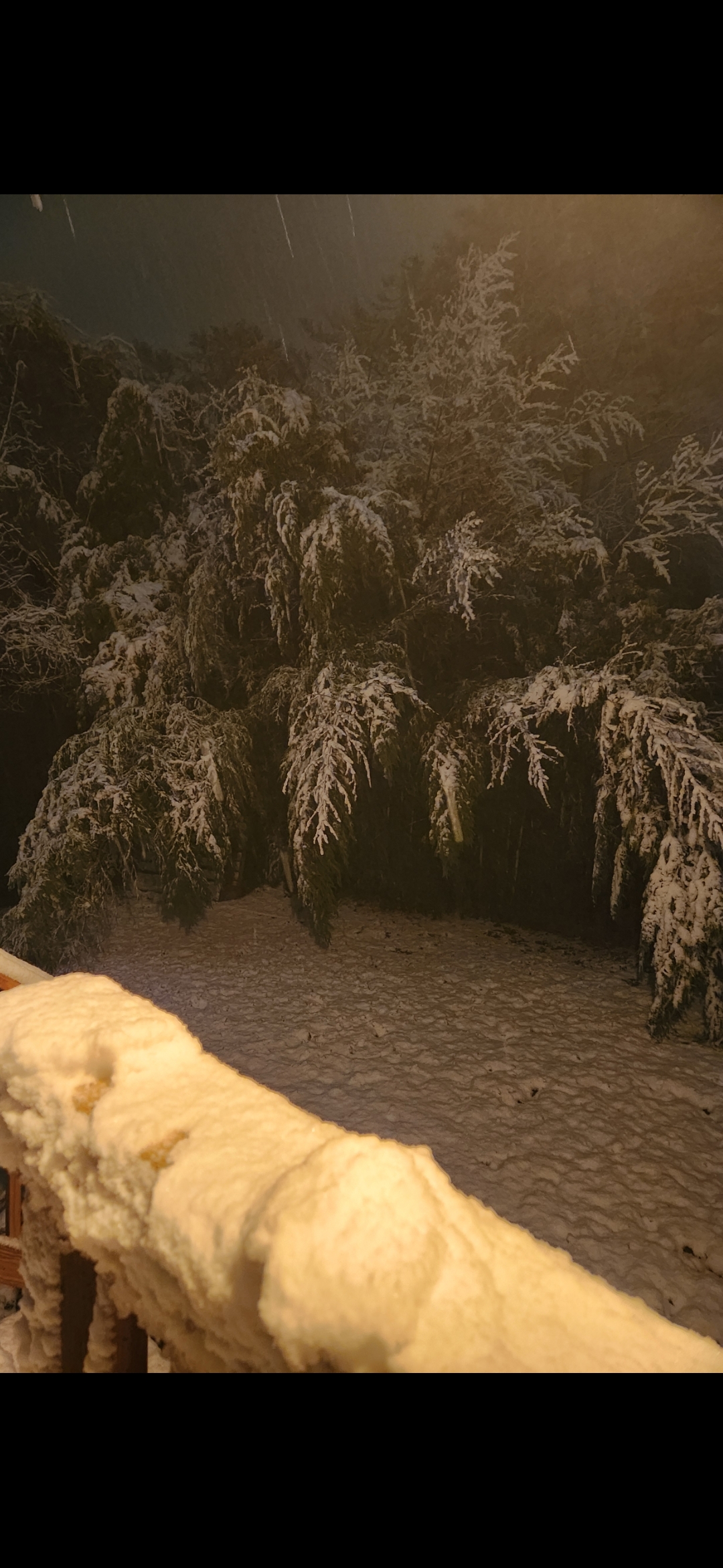
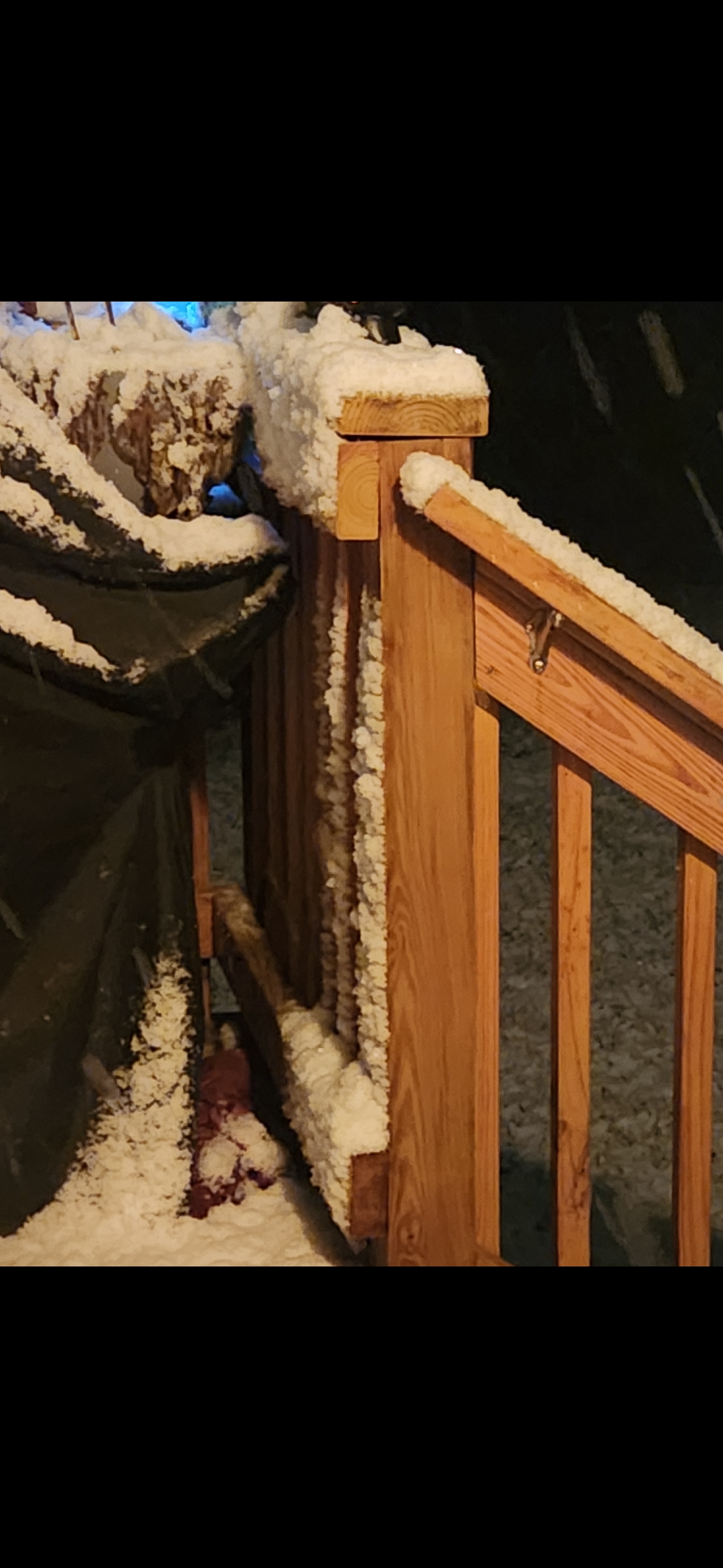
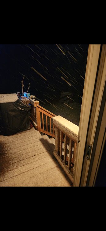
Lighter snow now - just measured right at 2 inches... bamboo in the back yard taking a beating....

-
Not bad, real pretty out tonight.... Very large flakes.. Just passed the 1 inch mark...

-
Snowing hard enough to overcome the wet asphalt...
-
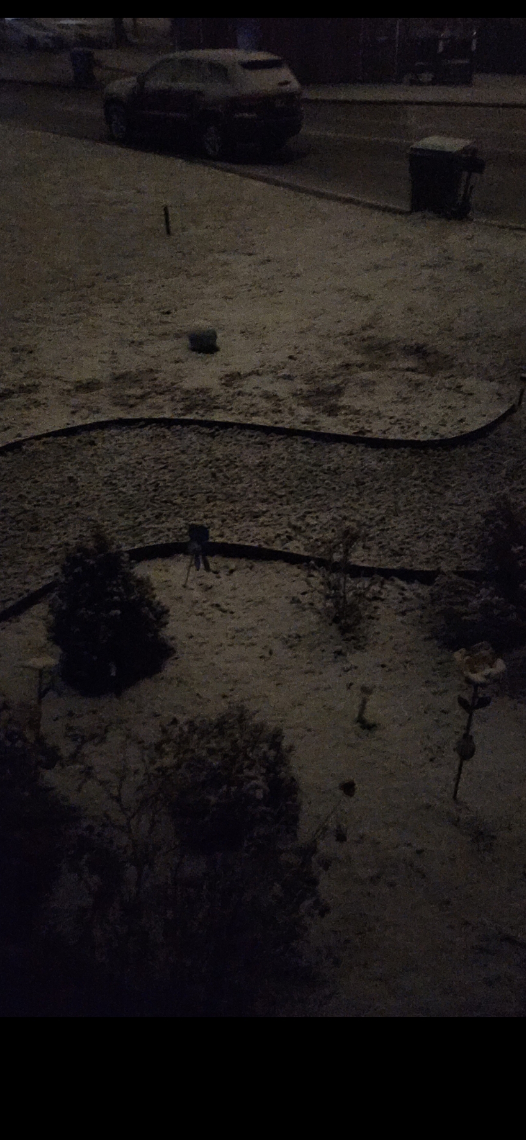
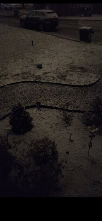
Snowing nicely temp at exactly 32.... 0.25 inch so far
-
Pretty obvious that the front just came through Waynesboro ... Quick gust of wind with a fast 3 degree temp drop in less than 5 min... down to 51
-
1.04 last couple days -- only the 9th inch plus event of the year... year to date total up to 26.80 now.... nice improvement over the last 10 days..
-
Finally a extreme drought designation for most of the Shenandoah Valley , centered over (surprise surprise)Augusta County & the central Blue Ridge... Was wondering when they were going to upgrade the drought status here... Just over 23.30 inches here in 10.3 months is wild or absurd for basically any locale in the eastern US...
-
If this does morph into a drier than expected winter following this year long severe drought we are in over here , with the corresponding large drop in ground water levels - The Shenandoah Valley and over toward Culpepper will be a massive agricultural disaster area going into the next growing season...
- 1,295 replies
-
- 1
-

-
- wishcasting
- almost winter
- (and 1 more)
-
Down to 23 here , thought the jeep temp was wrong driving home from work , but no it really has reached 23 already - thermometer confirmed it..
-
Dropped to 18 here...
-
0.49 right down the highway from you.... 23.28 year to date.... drought drought and more drought.!!
-
23.28 total for the year in my backyard - really does seem like western Kansas type of totals.... 14.53 of that fell in 7 events which means about 62% of my yearly precip fell in about roughly 20 days with the late June cutoff low accounting for a full week of that.... Truly a spectacular year for drought here... !!!!!!!!!!!!!!!!!!!!!
-
0.15 here for a monthly total so far of 0.49..... Likely or almost certainly at this point will be the 2nd of the past 3 months with basically a half inch following August with 0.56....
-
0.08 for the event 0.34 for the month May challenge August for the driest month
-
Looks like the central valley down here where the severe drought is raging will indeed be dry slotted for most of this event.... had hopes earlier in the week for some nice rain in this area but probably won't even get 0.10 if that...
-
36 degrees , damp and foggy - it's downright chilly out tonight...