

purduewx80
-
Posts
1,554 -
Joined
Content Type
Profiles
Blogs
Forums
American Weather
Media Demo
Store
Gallery
Posts posted by purduewx80
-
-
30 minutes ago, SnoSki14 said:
Yea no big spring warm-up here. Days like last Friday will be few and far between.
Was in the mid to upper 20s last couple nights for lows.
I'm hopeful Sunday or Monday will be decently warm with the ~westerly flow out of that PNA ridge ahead of next week's cold shot. We'll see.
-
1 minute ago, Typhoon Tip said:
Siding with the ICON.... huh
Similar but with an earlier genesis, peak intensity (at the sfc).
-
Just now, ORH_wxman said:
GGEM gone wild/
no doubt. peak intensity S of LI...into the 960s. close to the benchmark after the capture.
-
Just now, Typhoon Tip said:
I'm curious what the GGEM looks like ...if should begin to acquiesce some on this run one might think; and it's not without precedence as that guidance has performed somewhat better in recent months actually.
It's epic, loop de loop, tropical-like input. most of the interior NE gets snow. Possibly BOS too.
-
Non-zero risk for (elevated) thunderstorms here Thursday night if the 12z guidance is correct about the surface low passing just to our S/E. 12Z NAM lapse rates below:

The 500m low appears to close off in our vicinity, so if that's correct, at the least there would be some legit +RA for a few hours in the late evening or at night.
-
 2
2
-
-
1 minute ago, Typhoon Tip said:
Hahaha...
why not show the storm ?
heh
i'll leave that to social media.
")
-
 1
1
-
-
lol. 12Z RPM is the hybrid-esque equivalent of a tropical storm for the Outer Banks. It appears to be playing up the anomalously warm Gulf Stream.

-
5 minutes ago, Baroclinic Zone said:
Where is the northern stream vort currently reside? We've notoriously seen northern stream energy come in too slow in the mid-range on models.
There are several pieces, some of which are hard to see on WV because cirrus and/or being at the edge of the picture hides them. Also another piece farther up in the Arctic as best I can tell. If you loop GOES 17 high level WV you can see them better.

-
 1
1
-
-
22 minutes ago, David-LI said:
Euro with a 978 low right near the BM Friday morning. Not sure how it reflects on the surface. Anyone with more details?
It's closer to ACK than the Benchmark. Southerly flow ahead of it would, verbatim, not produce accumulating snow except from the higher elevations near ORH up into Maine.
-
1
-
-
12Z Canadian a bomb, 32mb drop in 24 hours, good bit S/E of the Benchmark. Probably a better way to get snow to the coast up in Boston, though.
-
1
-
-
2 minutes ago, ORH_wxman said:
Euro not quite biting but it's close enough to keep an eye on. That's a good meridional flow...if a little less energy gets buried southwest into the plains then i think we see something pop on that setup.
Agreed, if the usual Euro baby steps continue, it's fairly easy to see how the timing of waves could work out.
-
5 minutes ago, wxsniss said:
Diving s/w looks a little more stout thru 18z Monday
Another potential thing to watch is the interaction with the s/w over Montana / Wyoming... the FV3 has minimal interaction and so our diving s/w shoots under the trough to the east coast vs. 0z (less so 6z) Euro runs have much more interaction and our critical diving s/w gets delayed in a closed H5 low over Nebraska
12Z still tucking that first wave back under the ridge, but not like the 00Z did. Part of it ejects out w/ the northern stream wave, which is diving considerably farther SW into the Lakes this run.
-
11 minutes ago, wxsniss said:
Yeah, I think this is it circled... at 6z Sunday using FV3... so the responsible shortwave is on-board as of this morning... let's see if models today abruptly crystallize around something interesting as a result...
yes, it's in the NW territories now

-
1
-
-
1 hour ago, CoastalWx said:
6z euro made sizeable changes too.
as did the 06Z EPS
-
Looking more and more likely a few of these storms could become severe this evening. We're getting 925mb moisture advection timed with a weakening of the stout cap that's been in place all day. The surface heating really helped out low level lapse rates (to achieve some potential downbursts), but a number of features are coming together at the right time. Mid-level lapse rates have weakened a bit from those observed on this morning's soundings, but they're more than enough. Wind fields easily support gusts of 40-50KT and the shear present also may support a few rotating (elevated) storms with small hail.
Most of the hi-res shows these isolated individual cells joining up into a squall line this evening. Should at least get a good light show this evening.
-
5
-
-
1 minute ago, tek1972 said:
That snow if any is falling during the day. I doubt it sticks to anything
The few models that have the wave show it coming through early morning. Low level temps and thicknesses are plenty cold for accumulating snow should there be a narrow fronto/defo band just N of the low. Not unlike the system early last April...
-
 1
1
-
-
Yeah, the warm sector was a good 5-10 degrees warmer than modeled yesterday.
I think scattered thunderstorms are going to be fairly likely in the area ~5-8 this evening. They'll be moving along at 50-60KT but there could be some good downpours given flow parallel to the front.
-
1
-
-
sun probably will make an appearance ahead of this evening's convection.
-
Note +PNA temp anomalies in April (near normal) differ from those in January (colder than normal).

-
1
-
-
Just now, janetjanet998 said:
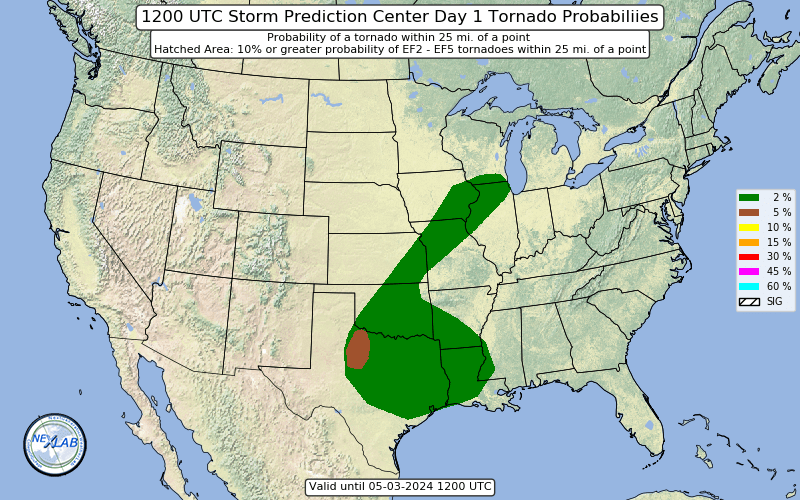
at least they upped the sig tor risk
-
2 minutes ago, BrandonC_TX said:
Eagerly anticipating the 1630Z SPC convective outlook. Some changes are bound to be made, especially for central and NE IL, plus NW IN, given the storms in that area.
Not to mention that clearing along the Ohio River is bound to introduce some issues down the line for Louisville and Cincinnati as well.Yep, I'd say an upgrade to MDT is warranted along the OH River Valley; probably a slight deeper west into Chicago as well. Hi-res guidance is killing off those cells in western KY, which doesn't make a lot of sense given the clearing, moisture advection, wind fields, etc.
-
10 hours ago, LibertyBell said:
100 mph winds and a big line of severe weather too! Reminds me of the March 1993 Superstorm displaced a couple of thousand miles to the west- is this a triple phaser too?
nice gif explainer of the two shortwaves in play.
-
4
-
-
10 minutes ago, 495weatherguy said:
When you say much warmer--relative to normal? would 70's be out of the question?
The only 70-degree readings I see in the next 2 weeks would be on Friday, and that will not be attainable without a few hours of sun. Beyond that, we will have to wait for some kind of major pattern change. Today's 12Z EPS is certainly not as warm as the past few days for the last week of March. In fact, a number of its members are showing a -NAO develop.

-
The 12Z SPC HREF shows a strong signal for rotating supercells across the Lower Ohio Valley late in the afternoon. Comes down to how much heating occurs ahead of the front, in my opinion.

-
1
-


March Disco
in New England
Posted
UKMET came a good bit west of 00Z.