

rgwp96
-
Posts
7,610 -
Joined
-
Last visited
Content Type
Profiles
Blogs
Forums
American Weather
Media Demo
Store
Gallery
Posts posted by rgwp96
-
-
12 minutes ago, PhineasC said:
You should move to Jersey.
Haha, February has been a very nice Month down here . I’m just over 50 inches for the year now as well
-
Just now, SnoSki14 said:
Time to start saying goodbye to the pack.
Big melts rest of this week. I suspect we'll be reduced to piles by March 1st though your area should hold a bit holder.
My bottom 10 inches is solid ice lol. I was able to walk on it
-
 1
1
-
 1
1
-
-
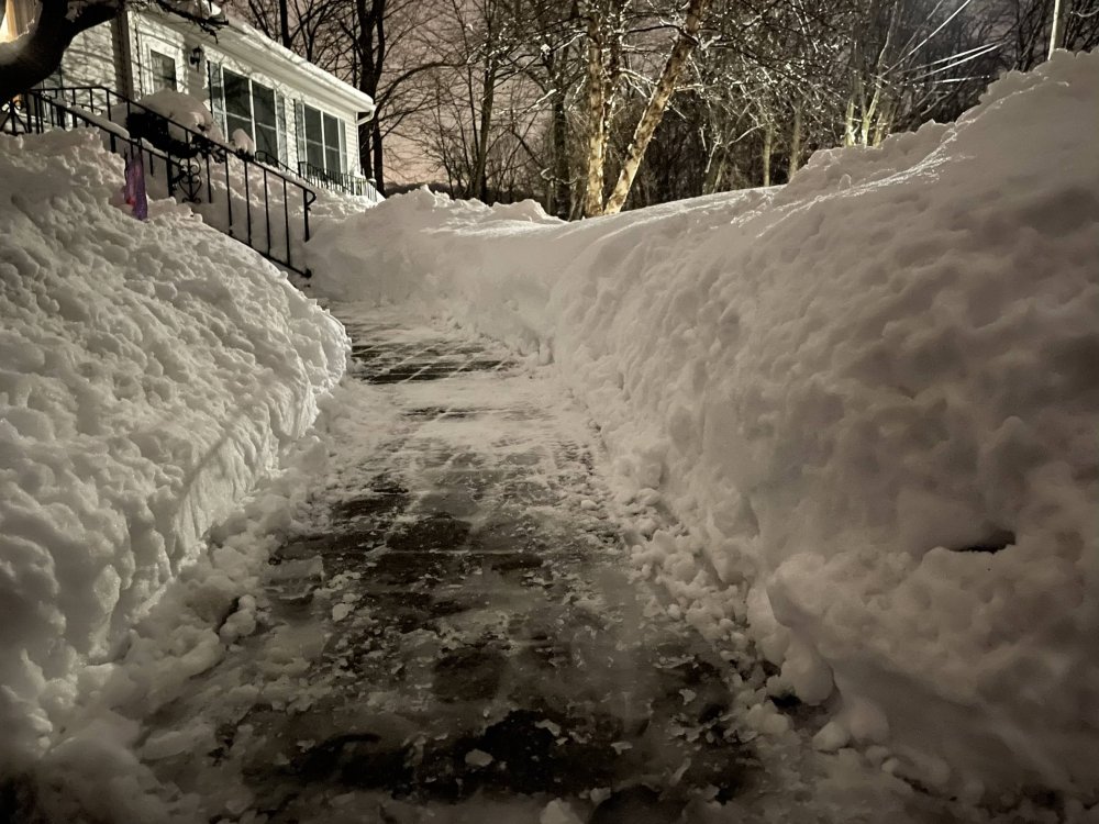
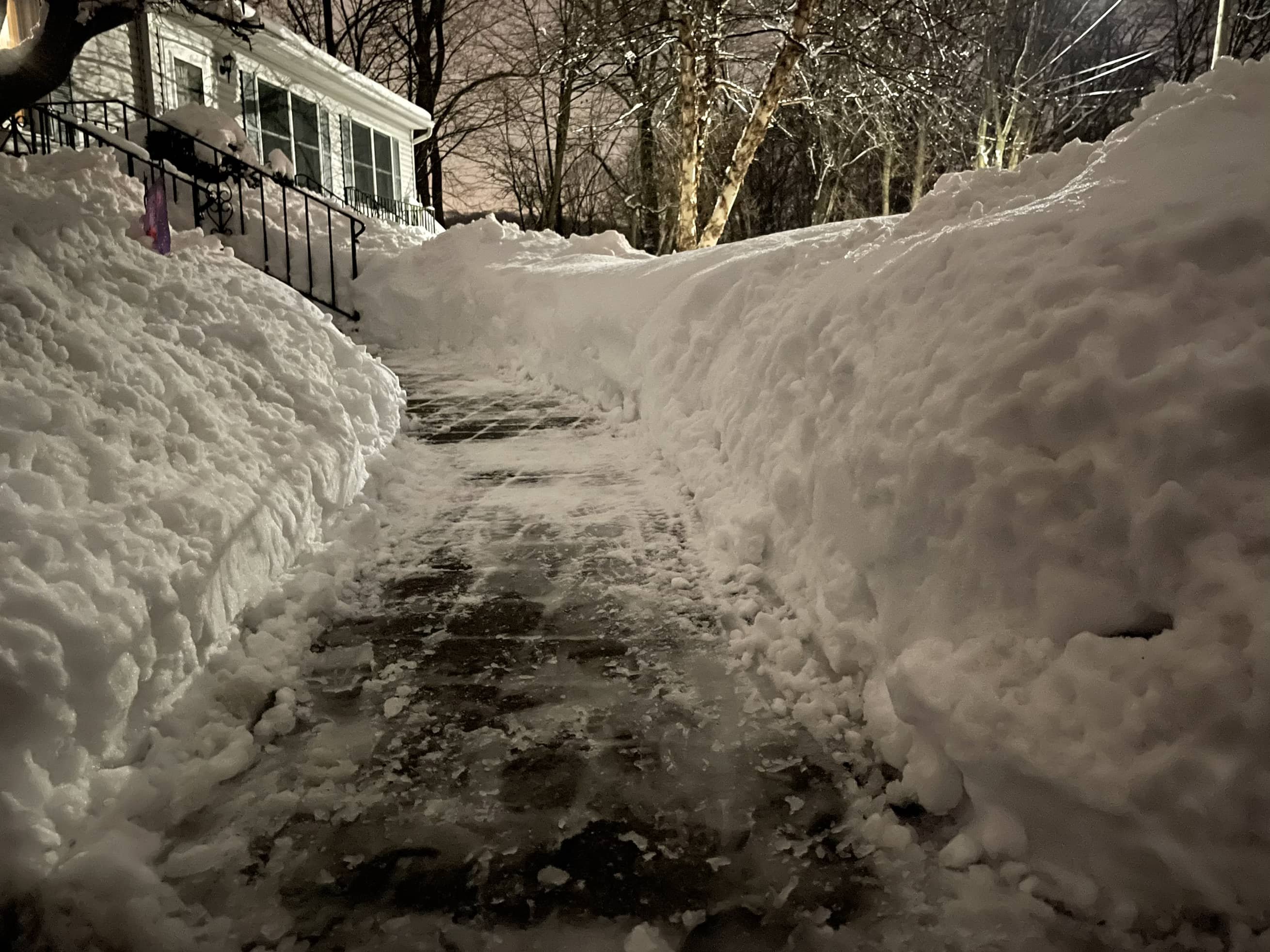
4.8 today. Total snow depth 19-20 inches
-
8
-
1
-
-
Just now, PhineasC said:
Crazy pack for Jersey.
Only 9 inches less than here, which tells the tale of the last 45+ days.
But I'm told April will be rockin' here so... LOL

-
8
-
-
4.8! Was final in nw jersey , snow pack around 20, inches . Tried to put in a picture but won’t let me
-
1
-
-
3 minutes ago, EpicHECS said:
Did it stop there yet?
Just about , end of radar near
-
1
-
-
4.8 new snow. Butler nj , less on pavement but nice over performer
-
1
-
-
3.8 so far by me in butler nj today , snow pack between 18-20 inches
-
3.8 inches in butler. Nj
-
14 hours ago, JerseyWx said:
Yeah ever since then it basically shut off. Getting icy now though.
This stretch we've been in has really given us the most "deep winter" feel in quite awhile. This is going to be one of those Springs that really feels as though we are thawing out after the winter freeze.
5.4 storm total .
-
1
-
-
26 minutes ago, JerseyWx said:
Exactly 4 inches here. @ForestHillWx @rgwp96
Freezing drizzle now, very slick.
Same here , only .3 since 2pm lol
-
3.7 in butler (northern Morris ) for round 1
-
1
-
-
3.3 of snow in butler northern Morris county . 1.6 in the last hr
-
1
-
-
Not a fake in northern Morris county , snow having a hard time getting north of rt 80
-
4 inches final here with 18 inch snow pack
-
Never got in the heavy band out by me in northern morris but still 3.7
-
4 minutes ago, wxman said:
western Hillsborough twp.
Ok makes sense you were in that band for awhile . Enjoy
-
6 minutes ago, wxman said:
7" down. Temp 30.
Where is that ?
-
2.7 in butler northern Morris county
-
1
-
1
-
-
1 hour ago, tamarack said:
If, say, one cleared 7" from the board yesterday morning and then 18" more this morning, IMO that's 25" snowfall even if the depth is only 22". (And I'm a bit jelly with my 5.5" of teenyflakes and maybe 2-3 more coming. Also surprised that wdrag's map shows no obs from the NE half of Morris County.)
I called into Mt Holly for snow reports three times this year and three times left off including this one . Oh well they rather take Joe smoes off of Facebook them callers that actually went to one of there classes
-
15 minutes ago, BxEngine said:
This would have been probably a 30” storm measuring the old clearing every 6 hours way. Measured about 19”, but we cleared the driveway at 7:30 pm, and definitely added at least 3” on the driveway. Snowboards added maybe 1/2” though.
That’s what I said as well, def would be 30 here but depth never got over 22 . Clearing off method isn’t acceptable anymore correct ?
-
2 minutes ago, wdrag said:
I have my doubts as well, BUT!! I can''t be sure. I can tell you I'm confident of my 25... I will post a CoCoRAHS summary - two day at 10AM. That's what i would use as official. NWS filters data as best it can in the hurried mode of posting the snowfall data, while doing many other duties, including answering phones. I have NOT seen PHI post 32", so it's a little dissapointing that it is out there. Mendham, 30". We know 25-30 up in these parts... You want some pix? I went up and down my driveway with a snowblower 3x yesterday and will proceed again here at 8AM, but the road? Not yet plowed so i go nowhere.
I live in butler I have 22 on the ground but yes more actually fell , but I only report snow depth . Nick Stefano who I am good friends with who you know as well has 22.5 on the ground on sparta Lafayette border and right near Newton as well .
-
17 minutes ago, jdt said:
You would be correct here. Compaction is keeping pace with additional accumulation especially since last evening and over night snow was of more dense nature which is enhancing compaction of the fluff underneath.
Yup my total ground is 22 , no doubt I had many more inches as what I shoveled after it was cleared was at least 6 more inches . Aren’t we supppose to report what’s on the ground ? My brother in law lives in Hamburg and says he got 30 because he saw Newton’s report . I bet him 1000 dollars he doesn’t have 30 on the ground . He shut up real quick lol
-
2 hours ago, wdrag said:
Data suggests this is/was a top 10 snowstorm for the region of NYC west through NJ and sw to Allentown. I spot checked calendar day records via XMACIS for NYC CP, Allentown, and Sussex NJ. If there need to be corrections, please let me know.
NYC CP for 2/1/21 14.8" not only[ a daily record, but ranked #10 highest. POR back to 1869.
Allentown for 2/1/21 22.4" not only a daily record but ranks top 2 or 3 depending on your data interpretation,-basically behind January 23ish, 2016 and ahead of January 9, 1996. Their 2 day is 26.9, ditto again #2 or 3 depending on your interp. POR back to 1912.
Sussex NJ 2 day (used my 25.0) but thats unofficial and subject to downgrade. Probably around 5th-9th heaviest event. POR back to 1893.
All of this in the Period of Record (POR).
No way Newton has 32 inches on the ground

Feb 22 Minor snow and rain event
in New England
Posted
Making up for last years disaster of a winter