

OrdIowPitMsp
-
Posts
2,413 -
Joined
-
Last visited
Content Type
Profiles
Blogs
Forums
American Weather
Media Demo
Store
Gallery
Posts posted by OrdIowPitMsp
-
-
Storms fired along the cold front and deposited a quick 0.54” here.
-
 1
1
-
-
Slow moving storms dumping about an inch of rain imby this morning. The airport picked up 0.74”
-
Garden variety storms popping up over the metro this morning. Some locally heavy rainfall but that’s about it.
-
Low 80s and daily storm chances. Pretty darn good. High altitude smoke is a bummer but it’s an inevitable part of the modern summer.
-
Upper atmospheric smoke has entered central and southern Minnesota. AQ is still fine but the milky skies are back. Hope it stays elevated.
-
Top shelf weather this week.
Feels like a mid September day this morning. High of 74 today, dew point sitting pretty at 52.
-
1
-
-
This is some wild stuff. Hope everyone is safe.
-
1
-
-
-
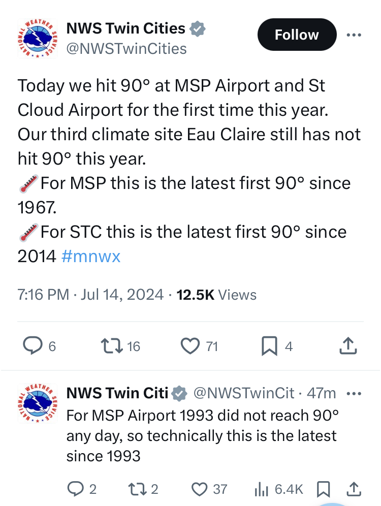
Preliminary data looks like we achieved 90 today in Minneapolis.
-
Short but sweet, was worth staying up late on a Saturday night to watch multiple 60mph gusts move through the neighborhood.
-
Forecast high was 91 today.
Actual high 81 with 0.34” of rain.Next up is an overnight MCS
-
Another cloudburst just put the airport on a brief ground stop. Quarter mile visibility and frequent CtG lightning.
The razor thin line of showers/storms along I-94 backs up west of St. Cloud.
74 at 2pm. Going to be tough to break 90 today. @Chicago Stormgotta hand it to you for sensing temps would likely underperform today. You should do some consulting work for our WFO.
-
 1
1
-
-
Morning convection passed through here, storms really started firing to my east over St. Paul, now just some scattered rain showers overhead. We’ll see how much recovery the atmosphere undergoes this afternoon. Dews are approaching the oppressive category.
-
1 hour ago, Chicago Storm said:

Wouldn’t mind being 89’d but we tend to UHI better then most.
-
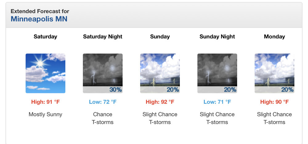
Minneapolis gonna finally join the 90s party this weekend. Still waiting on our first one this year.
-
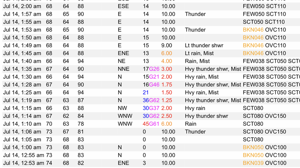
0.68” in 30min.
Quality soak
-
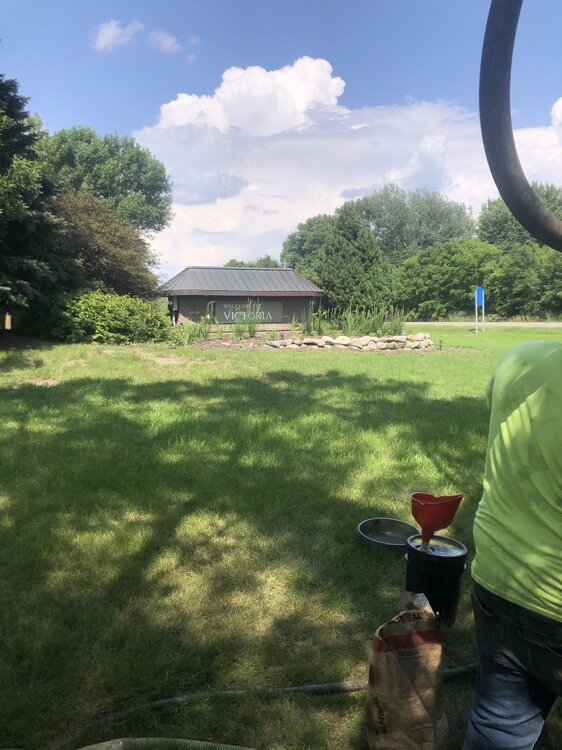
Heavy storm parked right over mby and the airport. Wind gust of 52mph. I can see the thunderhead from the sunny skies of Victoria MN one county west.
-
2
-
-
All day washout in Minneapolis. Sucks for people trying to get outside and enjoy the holiday. Had a midnight high of 73, been stuck in the low 60s most of the day.
-
 1
1
-
-
High of 73 under low hanging status all day.
-
0.32” from the overnight rains. Most it went south along the IA/MN border.
-
Breezy day with winds gusting around 30mph.
Storms should fire tonight and start July off on a wet note.
-
June finished with an average temperature of 69.5 which is -0.2 below average. This is the first June without a 90 in Minneapolis since 2016.
The 7.27” of precipitation is 2.69” above average and makes this the 14th wettest June on record.
-
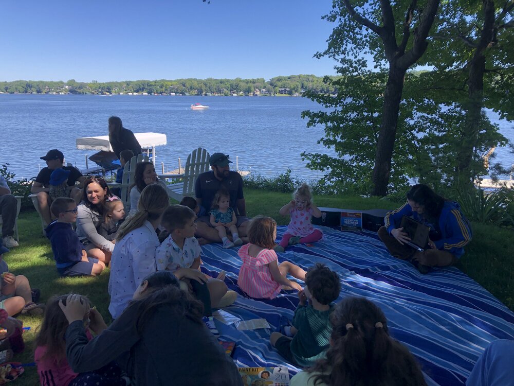
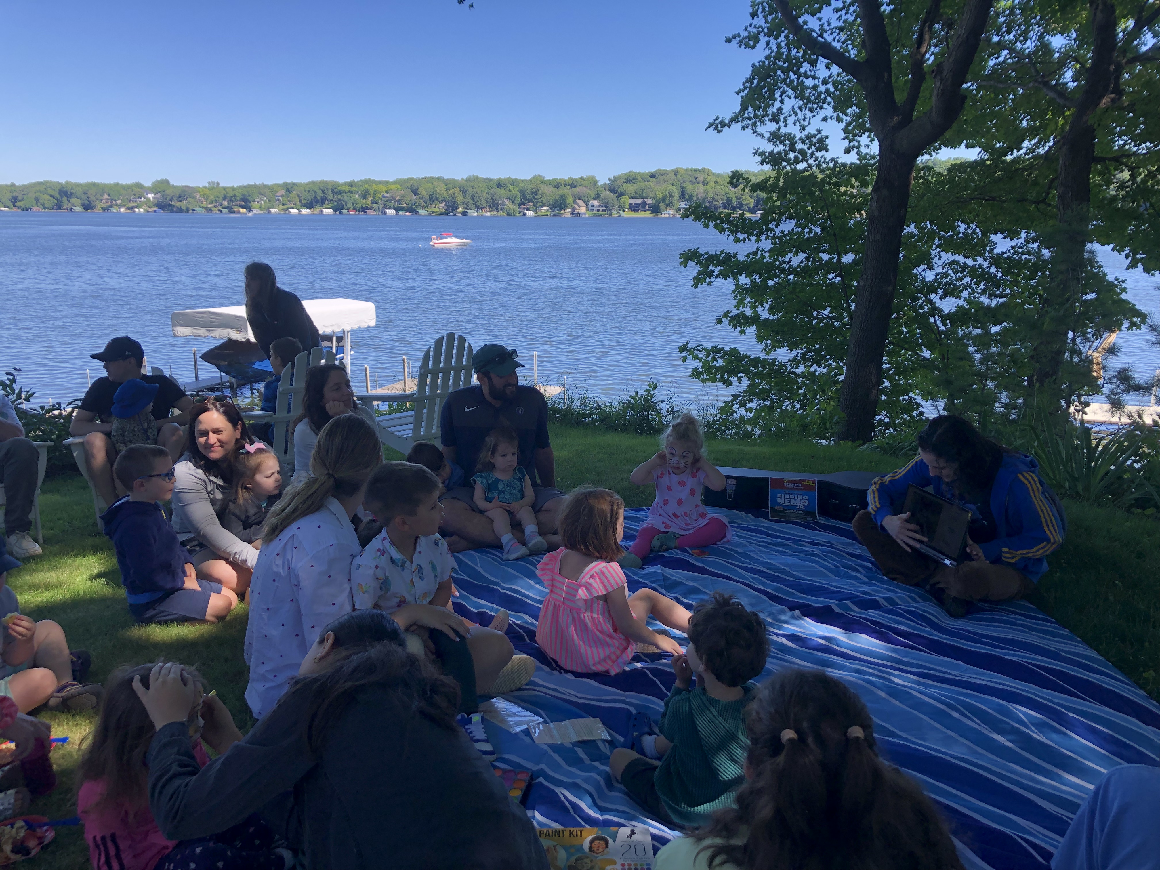
Life hack: If you don’t own a lake house just have your kid befriend someone who does. One heck of a 2nd bday party.
-
7
-
1
-
-
3 hours ago, Brian D said:
Record low is 47 1892. 53 t6th, but still cool for MSP. Milder than up my way.
")
1pm at the airport, it’s 68/41 under full sun. Doesn’t get better then that on June 30th.
-
2
-


July 2024 General Discussion
in Lakes/Ohio Valley
Posted
High of 75 today. Another top shelf day. Dog days of summer are lurking though.