

klw
-
Posts
4,487 -
Joined
-
Last visited
Content Type
Profiles
Blogs
Forums
American Weather
Media Demo
Store
Gallery
Posts posted by klw
-
-
Office is thankfully shut today as every road I would take to possibly take to get into Hyde Park is closed or blocked by other closed roads. We lost power beginning around 8:30. It looks like the waters in our back yard have receded. I no longer have a massive collection of waterfalls tearing through my raised beds. It will take a while for the big rivers to recede.
Closest /Davis went offline with the power outage. At the time it had 4.30 on the day and 5.35 for the event. Next closest station had .15 after the power went out.
-
 6
6
-
-
11 minutes ago, powderfreak said:
Montpelier exit on I-89 northbound closed due to flooding. Trying to picture how it could be but that’s a big deal.

I think the issue is just north/ west of the exit. (where the red marker is. There is a stream that comes down from the North. This morning it was not that far below the northbound side. By midday, the NB side was down to one lane due to damage. They close at the exit to offload. But RTE 2 in that area has also been closed at times today.
-
10 minutes ago, 512high said:
Jesus!
One of those rare occasions where the video of that scene does not look as bad as the photo. Someone posted the video higher in the thread
-
1
-
-
26 minutes ago, mreaves said:
Do you work for the State's Attorney in Lamoille?
No but their office is just a few buildings away.
-
Closed the office early. Found an alternate route home though the water was to the road in some spots. Home now. Back hill is just a series of waterfalls through my raised beds. 3.09 since midnight, 4.14 total, 14.83 since the start of June.
-
3
-
-
Got to the office in Hyde Park. Unsure if I will have to end up sleeping here. Looks like 100 in Waterbury will go under water near Ben and Jerrys if we get much more. Saw one spot in Middlesex where the water could come onto I89.
-
 1
1
-
-
3 hours ago, Damage In Tolland said:
Hello dewpoints , my old friend.. we are thankful you’ve come to visit us again..streaming sweat softly creeping.. down Ray’s asscrack , it is gleaming.
-
Huge downpour for about 10 minutes here in Hyde Park. Storms popping all over the area has meant thunder for the past hour or so..
-
2 hours ago, klw said:
Even better
and now , not as obvious, high ground
-
Even better
-
7
-
-
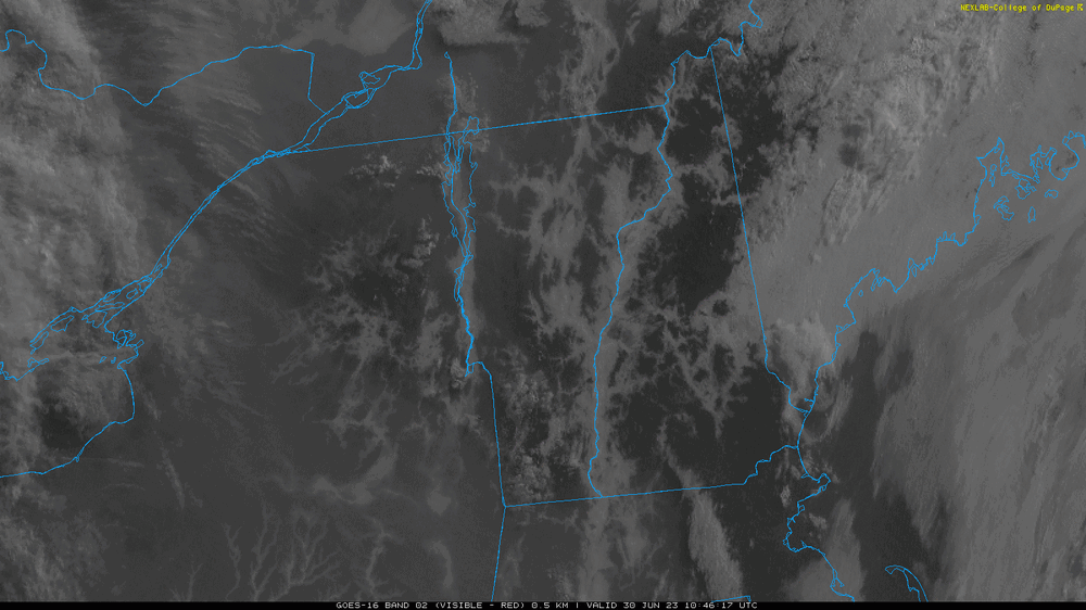
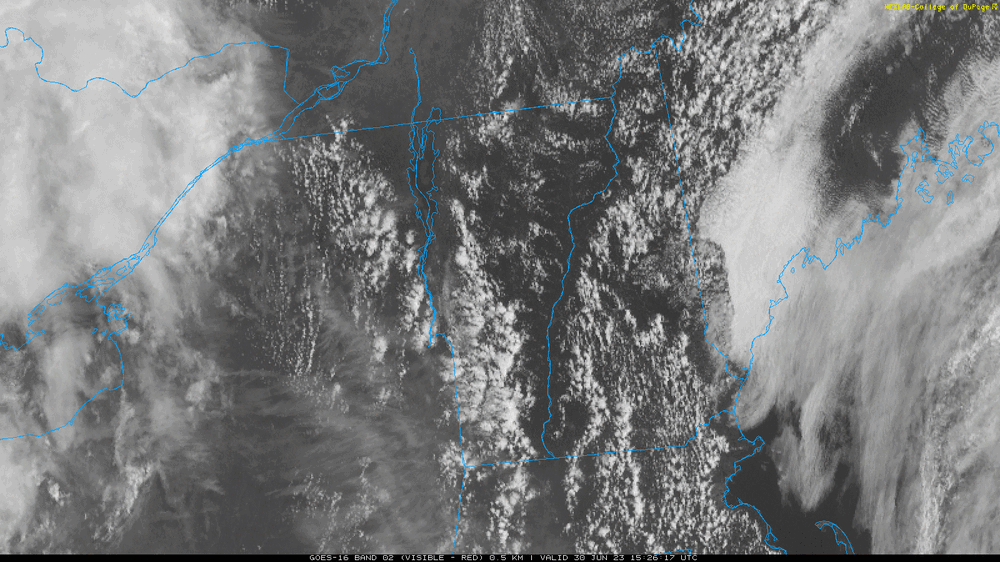
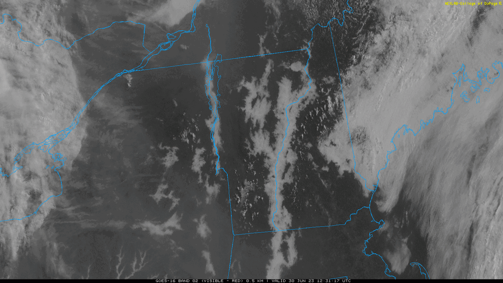
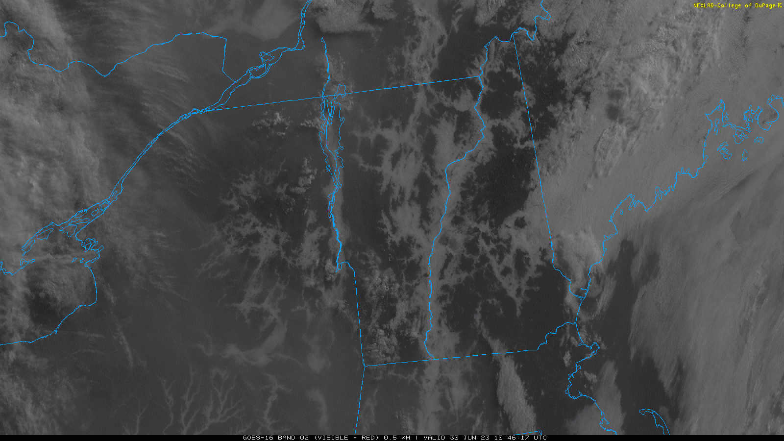
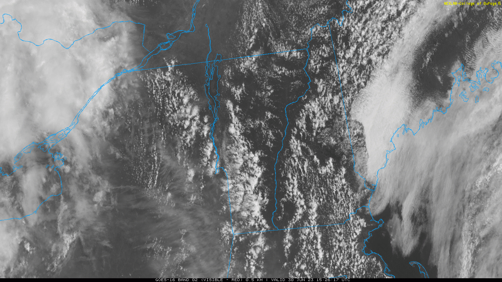
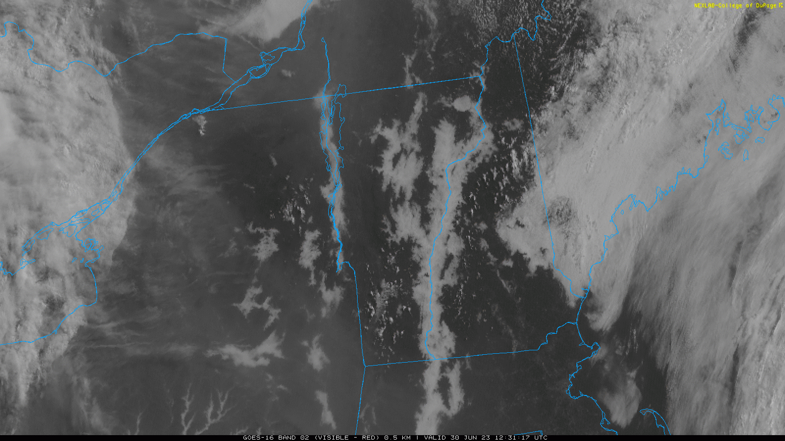
In case anyone is wondering where the river valleys are up here:
-
3
-
-
8.46 inches on the month on the station around the corner.
https://www.wunderground.com/dashboard/pws/KVTNORWI24/graph/2023-06-30/2023-06-30/monthly
-
2 hours ago, wxeyeNH said:
.65" yesterday. Meanwhile the wildfires are brutal in Quebec. The smoke is just now crossing into extreme NNE. Wonder how far south it makes it with the BD cold front? If it does make it to me in CNE and we have some afternoon T storms it is going to be pretty dark.

As of 1045 AM EDT Sunday...As indicated in the last AFD, we
have now seen wildfire smoke seep southward into northern New
York and northern Vermont on light northerly winds. So as fog
lifted and low clouds dissipated, skies have remained overcast
consistent with hazy conditions. The lower visibilities
associated with near surface smoke are filling in as well,
evident in area webcams at places such as Alburgh and
Plattsburgh.
 Rainfall isn`t expected to be as
widespread today given the best forcing will remain south of the
forecast area in the form of a decaying upper level low across
Pennsylvania. This tiny feature will have quite an interesting
impact of us today as it should allow for some scattered showers
and thunderstorms across the southern half of Vermont while
also ushering in smoke from Canadian wildfires across northern
Vermont and northern New York this afternoon.

The location of the decaying low to our south will switch our
surface winds to the north across northern Vermont and northern New
York this afternoon. Taking a look at air quality sensors across
Canada, there are high concentrations of the PM 2.5 which will
advect into the region this afternoon under these northerly winds.
We have been in contact with state partners and will likely be
issuing an air quality alert for northern counties.
-
1
-
-
3 hours ago, CoastalWx said:
I just want sun
-
 1
1
-
-
30 minutes ago, Damage In Tolland said:
Beautiful deep summer high dew high sweaty 5 miler this morning . Very refreshing feeling
Nothing quite like an early morning summer run before the heat kicks in
-
 1
1
-
-
Looks like there was some flooding in this area (NH side of river) over the weekend:
https://www.wcax.com/2023/06/20/weekend-flooding-causes-damage-upper-valley-towns/
-
1.32 today so far, over 5 inches for the month.
https://www.wunderground.com/dashboard/pws/KVTNORWI24
Station is just around the corner from our place.
-
6 minutes ago, 40/70 Benchmark said:
Man, this has devolved into a real lung measuring contest.

-
2
-
-
2 hours ago, klw said:
1.5 at the station closest to my house
Looks like another shower popped at the house. 1.67 now.
-
1.5 at the station closest to my house
-
.6 here so far.
-
12 hours ago, Torch Tiger said:
How about that 18z gfs EC hurricane strike?

The GFS has had a storm forming in the Western Caribbean in the time frame of the 18th in every run since Tues. Varies in where it goes but consistently forms the storm.
-
2
-
-
2 hours ago, Typhoon Tip said:
Ha ha. I was just thinking that. Like literally, 'but wait, who the hell's out there' lol
I'm not saying its Aliens but
-
11 hours ago, Torch Tiger said:

Is that one of Powderfreak's famous sweaters of forum lore?
-
1
-


July 9th - 11th significant flood event
in New England
Posted
Thanks. Power was restored around 1am. I am thankful that my hassles are minor compared to what a lot of other folks have been dealing with.