

klw
-
Posts
4,487 -
Joined
-
Last visited
Content Type
Profiles
Blogs
Forums
American Weather
Media Demo
Store
Gallery
Posts posted by klw
-
-
Question based on my memory. The summer of 1993 or 94 (I think 93) had BTV hit 100 2 or 3 days and it had only ever hit 100 2 times before that. Is this accurate at all? I am going off of 25 year old memories.
-
Just poured here in St. J off and on during the afternoon. Some rumbles of thunder but nothing too menacing. Lots of water however.
-
13 hours ago, RUNNAWAYICEBERG said:
Not a fan of the title. post a poll here with 4 choices, let the people contribute.
Novel McNovelbook
Second Novel
-
yeah it is raining here. The garden could do with a good soaking.
-
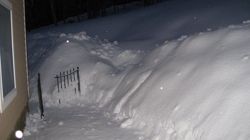
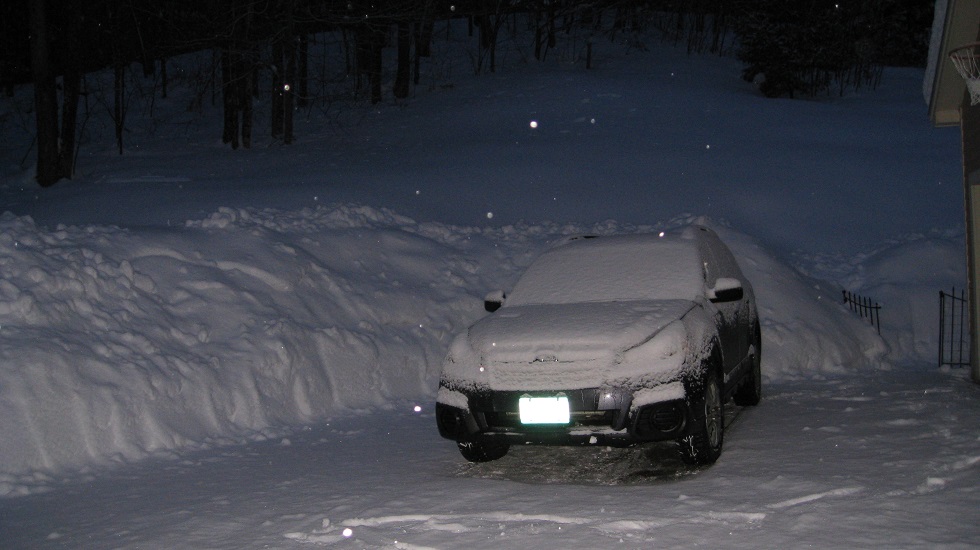
but wait there's more... another 1.1 overnight 18.7 for the event now.
-
Looked like a little under 1.5 inches during the day today, 17.6 for the event
-
17.2 here after getting another 3.5 since 10:30 last night. Still snowing.
-
been ripping 4" since 7:30, 13.7 so far on the day
-
We caught enough of the 91 band that we are up to 5.5 inches in the 05055
-
Bold: BTV stays with a Winter Weather Advisory for me due to the long duration to get to the totals. WWA with potential for 12+. OK that's interesting.
..WINTER WEATHER ADVISORY NOW IN EFFECT FROM 2 AM TUESDAY TO
8 AM EDT WEDNESDAY...

* WHAT...Snow expected. Snowfall will impact the area from
  tonight through Wednesday morning Over this 30 hour period,
  about 7 to 10 inches of snow is expected. Some of the highest
  elevations will have a foot of snow or more.

* WHERE...Portions of central, northeast, northwest and southern
  Vermont and northern New York.

* WHEN...From 2 AM Tuesday to 8 AM EDT Wednesday. The steadiest
  snowfall will occur during the daylight hours on Tuesday.

* ADDITIONAL DETAILS...Plan on difficult travel conditions,
  including during the morning and evening commutes on Tuesday, as
  well as Wednesday morning. Be prepared for reduced visibilities
-
BTV has upped their call on the map but has not upgraded the WWA yet.

-
50 minutes ago, JC-CT said:
He's expecting 2' of powder and ends up with a coating lol
For PF, 2 feet is just a coating.
-
 1
1
-
-
Looks like the eye is clearing out again:

http://www.ssd.noaa.gov/PS/TROP/floaters/15L/imagery/vis_lalo-animated.gif

-
Looks to be ingesting a little dry air on the west side at the moment

-
Is it my early morning vision or is the eye seems to be moving more west than NW in those last scans? Staying south of San Juan?
-
this would seem to be an interesting run of the GFS

-
24 minutes ago, HIPPYVALLEY said:
You don't think 5 days is enough time to dry out?
Seeing large parts of my road were washed away and there are roads closed throughout town, getting a heavy rain in a few days would not be a good thing. The drainage ditch at the bottom of our land is completely filled with rocks and gravel from up the road. This is blocking the culverts. There are a number of spots where the road has not collapsed but there is nothing supporting the edges anymore. I am hoping that we can avoid big rains until the roads are fixed, the repairs needed to stabilize them, and the cleanup is done to stop a quick repeat..
Here is an article on the weekend flooding:
https://dailyuv.com/news/910706
and another
https://dailyuv.com/news/910805
For me the 12Z would not be a big deal as it gives me only half an inch but the multiple inch rains are too close for comfort. That being said, it is the GFS and subject to change.
-
Fortunately it is the GFS at 5 days out but both the 6Z and 12Z runs would be realllly bad up here, given the flooding over this past weekend:
12Z

6Z

-
This reminds me of 2012 (I think) where we had cool showery weather in the 30's for Memorial Day weekend and by mid-week we were into the 80's. I had a half marathon the next weekend and stood no chance as I had no opportunity to get acclimated. People were dropping like flies. Here's hoping to a cool first Sunday in June this year though at least we are having some warm days now.
-
So as I see it for up here...
NAM...0.2"
GGEM...0.15"
GFS...0.4"
UKMET...0.1"
ECMWF...1.0"
The King is either a hero or it falls really hard.
FWIW (SREF grain of salt warning) the last SREF run brought .6 to IV4 and has been fairly consistent with a mean of 10 inches or so here.
Plus the SREF do bring some nice dendrite growth up this way. I don't look at the SREF for much but I do like the dendrite growth loops.
http://www.spc.noaa.gov/exper/sref/sref.php?run=2015012603&id=SREF_prob_dend_50__

-
1.50" line from LEB to IZG
1.00" line from PF to the Ct Lakes...lol
It is like the Euro is run from my barn.
-
I just figured Mrs. Cold Miser finally saw his avatar history.
-
Ran into this article from an Anchorage paper about the storm.
http://www.adn.com/2...at-western.html
The last time forecasters saw something similar was in November 1974, when Nome also took the brunt of the storm. That storm surge measured more than 13 feet, pushing beach driftwood above the level of the previous storm of its type in 1913.
Winds from the current storm were expected to push large amounts of water into Norton Sound, raising sea levels 10 feet above normal through Wednesday.
NNE Summer Thread
in New England
Posted
93 saw a steak of 6 straight days of 90+ but the highest was 93.
1995 saw 2 100f days;
https://www.weather.gov/media/btv/climo/extremes/xtrmtemp.pdf
https://www.wunderground.com/history/airport/KBTV/1995/6/6/MonthlyHistory.html?req_city=&req_state=&req_statename=&reqdb.zip=&reqdb.magic=&reqdb.wmo=
https://www.weather.gov/media/btv/climo/extremes/extremetemps.pdf