

Greg
-
Posts
2,043 -
Joined
-
Last visited
Content Type
Profiles
Blogs
Forums
American Weather
Media Demo
Store
Gallery
Everything posted by Greg
-
 Not sure I agree totally with that. '78 was a week el nino, '69 was a moderate, 2005 weak, 2015 weak. Only Feb 1983 was strong.
 -
Not happening this winter. Take what you can get in this strong El Nino.
-
Euro would be the storm most in both Central and Southern New England would be waiting for the entire winter.
-
18.3 So far on the season.
-
You'll get a slight thump of sorts that's for sure.
-
I would have been rain the last storm if it was correct.
-
Perfect track for the majority here. Excellent, I agree fully.
-
Both the Reggie and the GEM have a Canadian warmer bias, this is fairly well known. If those models were correct about the Jan 7th storm we had, I would have been rain through most of the storm, which of course I wasn't.
-
With the GEM "Warm Bias" and the GFS "Cold Bias", an in-between compromise would actually be in order here. Euro model will help be the decider.
-
Just curious Scott. How far off sure is deemed a good track to you, just curious not trolling. Personally, my favorites are just at to slightly "inside" the Benchmark. This gives us the opportunity for two things. 1. Heaviest precip shield and 2. Close enough but at the same time far enough away from the center to have a mostly if not all snow event with the exception of the "far" South Shore and Cape and Islands.
-
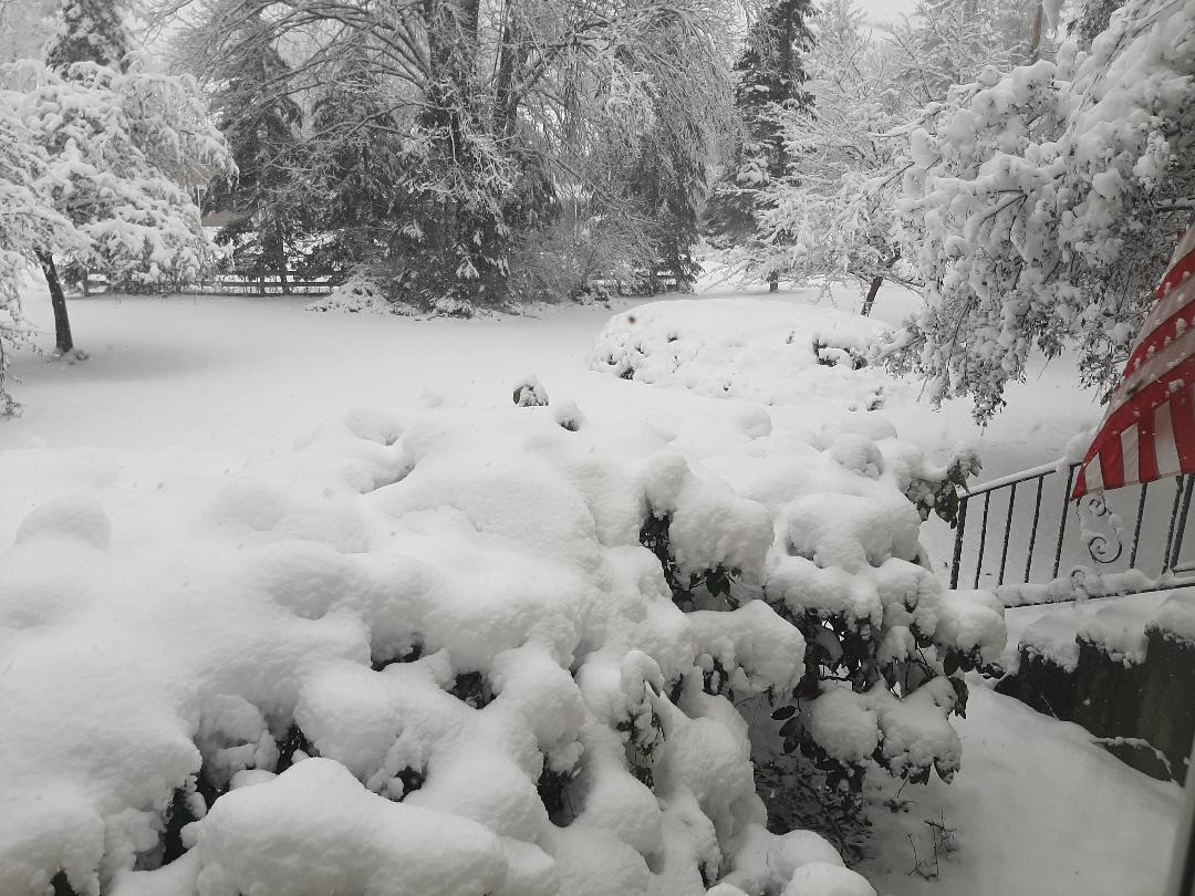
Depends on if one even has a pack left. I had slightly over 13 inches (13.3"), without doing the 6 hour measuring method last storm and now have nothing but some very small mounts left, So not so sure of a pack than those very well far northwest of here.
-
It's fine that the GFS made a shift to the NW as you get closer to the event. GFS did it with the other7-8 storm also but never brought it over the Cape and Islands.
-
GEM was also too far NW with its surface low track on the 7-8 storm so not sure I trust it at this moment.
-
Logan AP 3.1 in 0650 PM 01/07 ASOS
-
Come on baby snow!
-
.thumb.jpg.2b3f03263ca9bf9fd1817b4c5f5cf0e6.jpg)
.thumb.jpg.853e0f8f3de89ff4d9ea8ed83bb7925f.jpg)

.thumb.jpg.e977b36921f9f7856b9dac962d242fc4.jpg)
-
-
GYX tend to slight over do it with there map predictions then slowly tweak them as time continues. This particular storm is one of those times.
-
Absolutely! Temperature were a major key player. Even If it snowed harder in that band last night southeast of 495, If temps were 33-34F Degrees The wet snow would not have accumulated as readily as those with lesser omega northwest of 495 with temps around 30-31F degres or so. BL temps are always key to the forecast.
-
That's fine. Not a problem. Just taking notes around the area for comparisons from reports.
-
If you do it every 6 hours you'll get that. If you let it settle it will be probably up a couple or so inches less. Many around here are reporting the settled amount so far with a few reporting the 6-hour method.


.jpg.5315c583e4e251ffd4ce803db5eda686.jpg)
.jpg.e68e02a0bdc37560f291100e552630be.jpg)
.jpg.f3ce9fc5cb24563d3c7037f96e73d238.jpg)