Grayman
-
Posts
501 -
Joined
-
Last visited
Content Type
Profiles
Blogs
Forums
American Weather
Media Demo
Store
Gallery
Everything posted by Grayman
-
00 has a nice little storm for eastern and central NC on Dec 26 per gfs
-
That might be game set and match for winter.
-
What a strange run, but I would take it. Can it really be that slow moving?
-
Potential 1/28-1/30 2022 winter storm
Grayman replied to Prismshine Productions's topic in Southeastern States
I really wish the banter would stay in another thread. -
Moderate snow here in Rockingham NC. Starting to whiten the ground
-
January 20-22 “bring the mojo” winter storm threat
Grayman replied to lilj4425's topic in Southeastern States
Latest HRRR looks nice. Still running but snow way further west -
Latest HRRR cuts snow off 5 miles from my house. I’m officially cliff diving. Fixing to jump right now
-
January 20-22 “bring the mojo” winter storm threat
Grayman replied to lilj4425's topic in Southeastern States
Does anyone have time to post a link to the best site for nowcasting? Someone posted SPC mesoscale but honestly I’m still learning and don’t know exactly what I’m looking for. Thanks -
January 20-22 “bring the mojo” winter storm threat
Grayman replied to lilj4425's topic in Southeastern States
RAP version that runs out to 51 has no storm. I know it’s useless at 51. Hoping for better trends on 00z suites -
January 20-22 “bring the mojo” winter storm threat
Grayman replied to lilj4425's topic in Southeastern States
That was 12z. 18z failed to Upload . Sorry
-
January 20-22 “bring the mojo” winter storm threat
Grayman replied to lilj4425's topic in Southeastern States
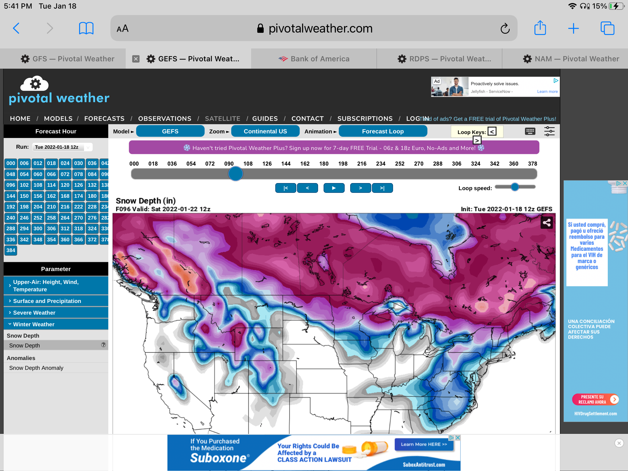
GEFS looked good to my untrained eye. Maybe a little more in eastern NC? Thoughts
-
January 20-22 “bring the mojo” winter storm threat
Grayman replied to lilj4425's topic in Southeastern States
Straight weather porn -
January 20-22 “bring the mojo” winter storm threat
Grayman replied to lilj4425's topic in Southeastern States
Thanks . -
January 20-22 “bring the mojo” winter storm threat
Grayman replied to lilj4425's topic in Southeastern States
Is it still showing the crippling Ice south? -
I understand but man Rockingham is the worse. Too far south , east and sometimes west. All I need is a southern slider to miss me to the east and they will put in The sanitarium permanently lol
-
I hate S va and western NC. They have no idea how living the the Sandhills is.
-
January 20-22 “bring the mojo” winter storm threat
Grayman replied to lilj4425's topic in Southeastern States
Yes. I’m in the bullseye 7 days out, what could go wrong? -
Winter Storm Izzy Obs Thread
Grayman replied to Prismshine Productions's topic in Southeastern States
41 and 25 here in Rockingham -
Ok thanks. I thought that was the case.
-
What do you guys make of both the HRRR and now RAP taking the low up all the way over to the mountains? That can’t be good
-
18z NAM keeps dancing around. At 29 in the gulf and jumped straight north at 30
-
How did the Euro look
-
-
That really looks good.
-
Dang that freezing rain looks nasty . Shows .98 in my area. Even if you cut in half that’s lights out