
Tealsnowball
-
Posts
36 -
Joined
-
Last visited
Content Type
Profiles
Blogs
Forums
American Weather
Media Demo
Store
Gallery
Everything posted by Tealsnowball
-
What gives me pause at the moment is the HRRR. My question is, what is it seeing or not seeing in comparison to the NAM? Why does there appear to be so little moisture with the HRRR?
-
That Euro run was a thing of beauty. February 8th's temperatures though? Downright frigid.
-
I think DT's map is too bullish for Southside, Roanoke and the NRV. I think his numbers are more accurate around lexington and points northward. I'd take DT's totals for southwest Virginia and cut them in half. That said, I wouldn't be complaining in the slightest if we achieved those totals. I've lived in Roanoke most of my life and I know when that warm nose gets close, a sleetfest ensues. I think 3-5 inches of "crunch" is reasonable to expect at this point. I think your estimates for Dry Fork are spot-on. But hey, here's to hoping that cold air aloft remains stubborn throughout this event.
-
Roanoke seems to be on the cusp of all sorts of p-types. It's either going to be a snowfall approaching double digits or a 3-5 inch "crunchy" snow with lots of sleet mixed in. It should be fun to watch.
-
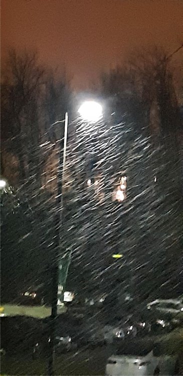
Full-on snow now. It didn't take long to change over completely. Picture provided (the quality is a bit poor at night).
-
Rain is transitioning into a rain/snow mix here in Radford, VA.


