Orangeburgwx
-
Posts
2,592 -
Joined
-
Last visited
Content Type
Profiles
Blogs
Forums
American Weather
Media Demo
Store
Gallery
Everything posted by Orangeburgwx
-
that’s what is going to bite us Mack... no cold air to help us out
-
******* SER keeps all the good stuff to my north...
-
Just asking, but do you think all the models are going to be blindsided with the pattern change and not catch it until it is within 3 days?
-
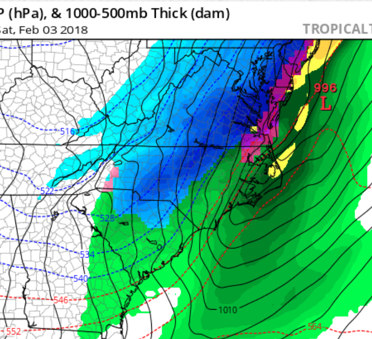
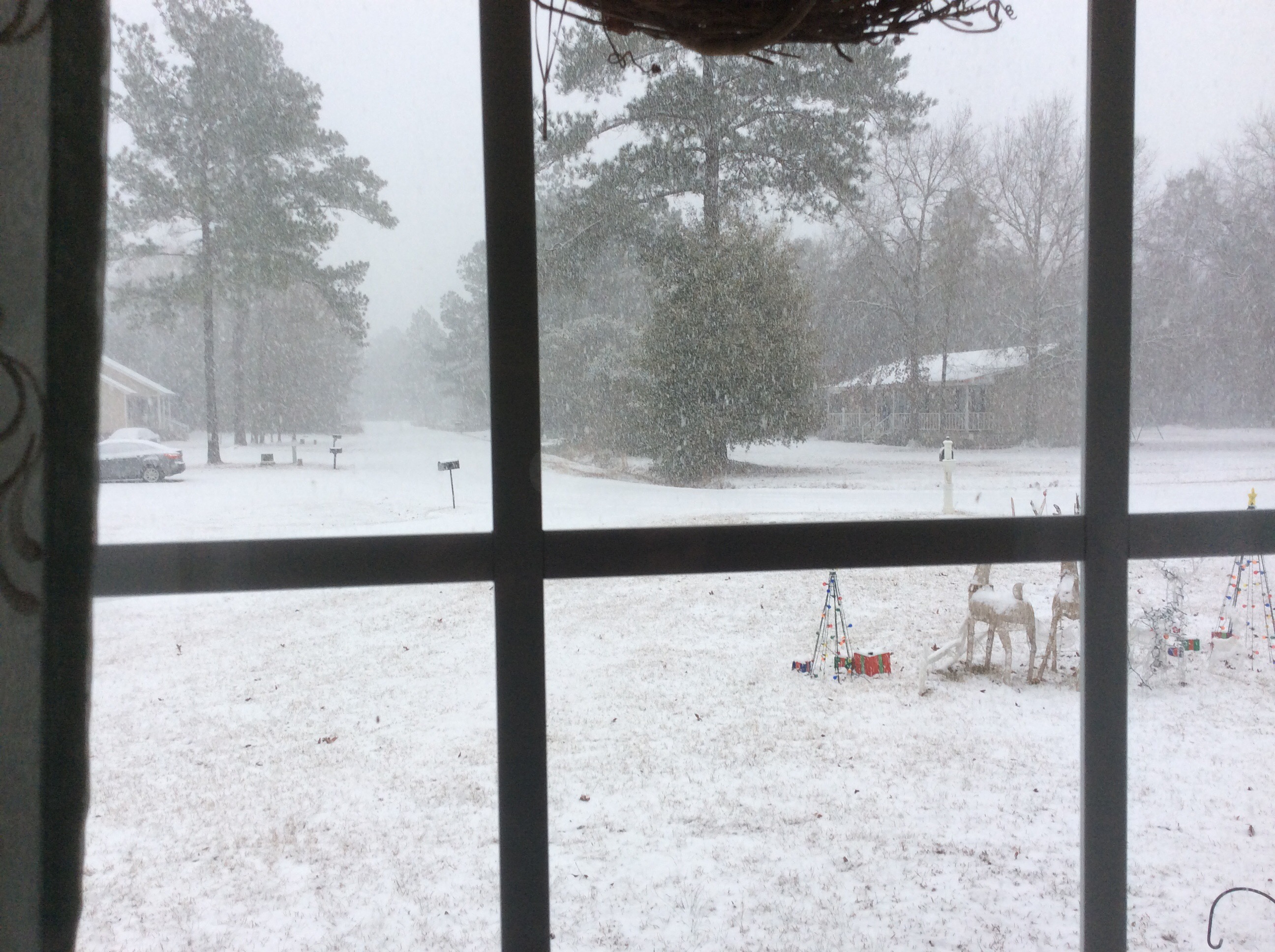
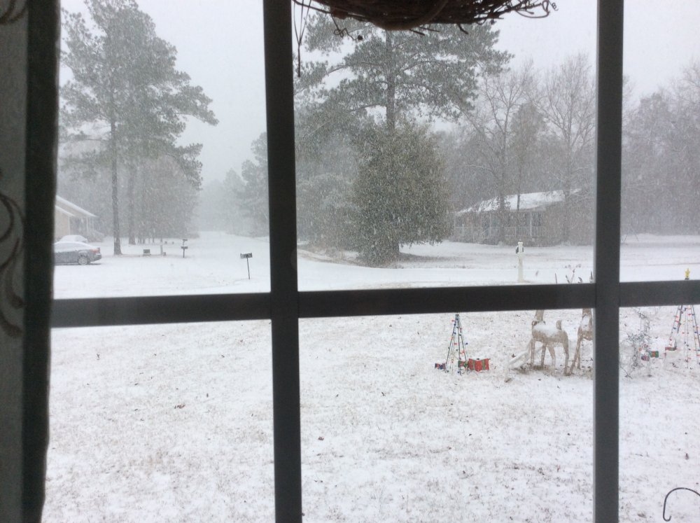
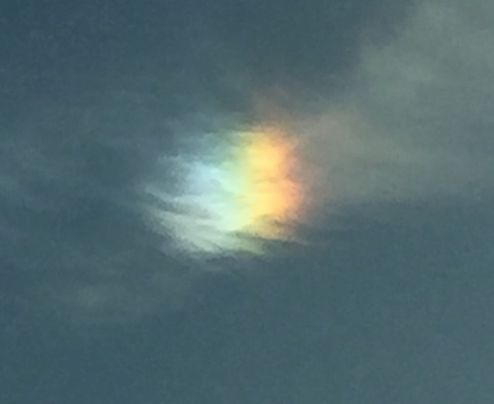
Guys I apologize for waiting a full month to post this, but I had to wait for my upload size allowed to build up enough. This pic was taken during the height of the Coastal Crusher, I had 2”/hr snowfall rates at its heaviest. I figured that seeing a nice blanket falling would bring everyone’s hopes up that we will get AT LEAST one heavy hitter before winter ends. Good luck everyone and I hope we get a board-wide big dog!
-
Im at 5.4” so even I have had more snow than DC...
-
What is the saying then?
-
just curious, but is there some sort of saying about a large flock of buzzards and winter storms? I came home last night to 50-60 of them huddled together.
-
I think we can get a decent hit off that with the CAD
-
Might as well recharge the snow shields
-
Just looking at the 12z 2m GEFS run shows a dominant SER all the way to Feb. 7th, then cold takes over. Will trend colder due to CAD I believe but overall look is way better than the 6z suite.
-
CAE NWS latest output && .LONG TERM /MONDAY THROUGH FRIDAY/... After maybe a few lingering light sprinkles early in the morning Monday, drier and cooler air will once again return to the area through Wednesday as high pressure at the surface dominates. By Thursday the upper pattern flattens out and then turns more southwesterly once again ahead of the next rain maker. This next front is expected to cross the region Thursday night and Friday. Temperatures cool through Tuesday, then gradually warm, and return to near or above normal by Thursday. Colder air will move in behind the front Friday night. There is a lot of uncertainty at this point, but if enough moisture lingers into Saturday morning, there could be some light snow to the north. Have kept mention out of the forecast for now.
-
especially in our part of the CONUS
-
6z GFS took all of us to Heartbreak Hotel... torch
-
NAM runs tomorrow will be a better guideline
-
I like the look at the end of the GFS
-
yeah, that is something when the eastern half of the Carolinas (North and South) have had a better winter than the western half
-
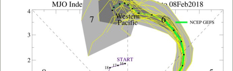
omg the GEFS MJO update... off the damn chart
-
I am happy with an inch a year, so anything more than that and I’m satisfied. Luckily I’m sitting at 5.4” total so far
-
You raise a good point, even I saw a few flakes before Thanksgiving (first time in my life I have witnessed that). I think the main reason there is so much gnashing is because we are snow hungry, most of us are way overdue (myself included) for a major winter storm that dumps several feet of snow IOBYs. If you think about it, the pattern goes back to LAST winter, Savannah got snow showers around St. Patrick’s Day for crying out loud (I was there). Then our summer was cooler than the last few years m and rainy, IMBY anyway, then followed up with the pattern flip at the end of October that set us up. Keep in mind, this is a LA NIÑA winter, just imagine if we had this set up with a weak El Niño...
-
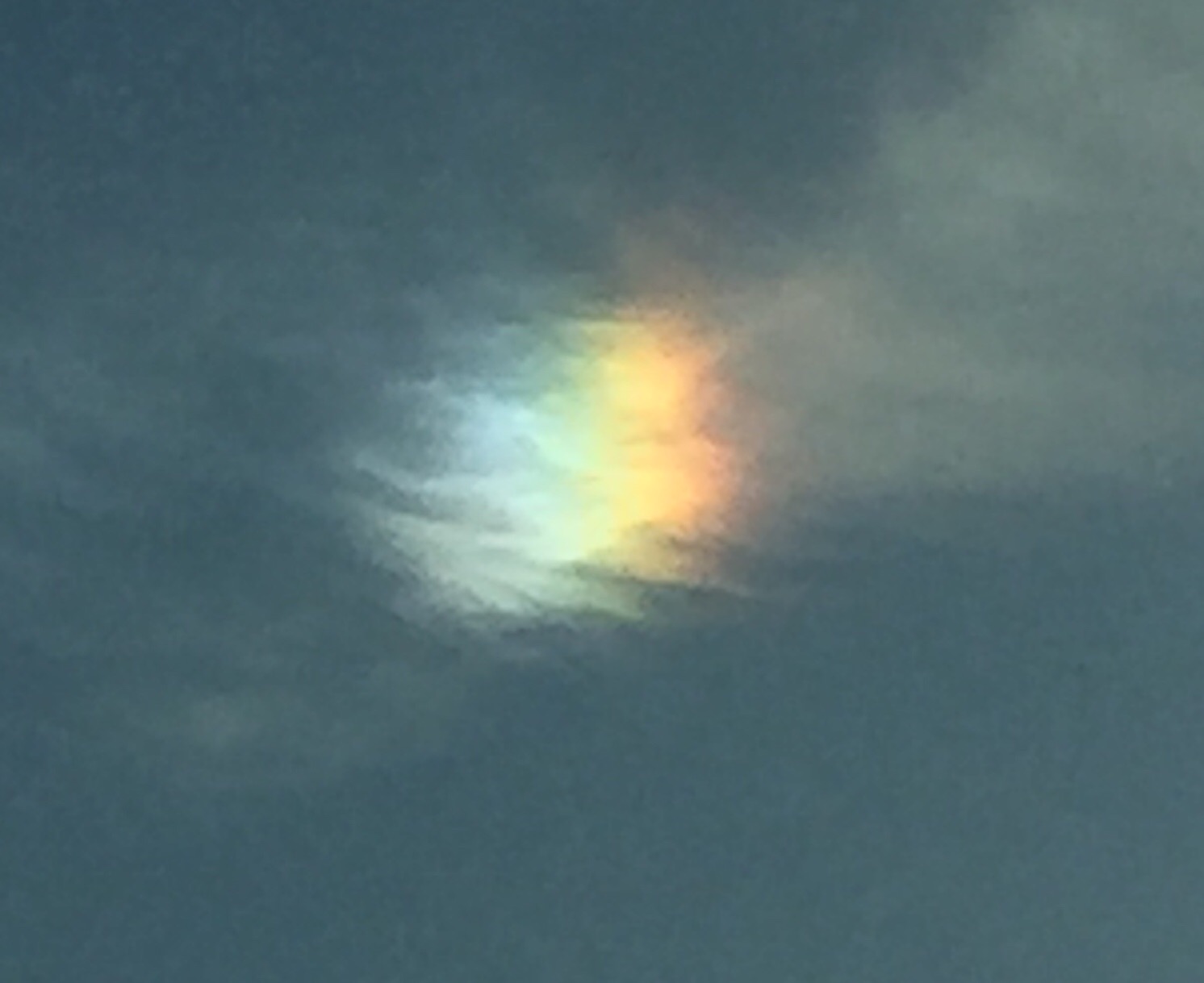
took this picture while on the way to the doctor this morning
-
wow, the sure does sound optimistic AND it buys us another month of possible storms
-
some think the models are golden and true, but they can’t beat God (NOT trying to stir a hornet nest, was just stating my opinion.)
-
It was the 6z GFS (which typically runs hot anyway) and the end of the run is still on the 11th. If deep cold hasn’t shown up by this coming Wednesday THEN we can call torch. Go look at the 6z GEFS, the 2m and 850mb temps trended colder compared to 0z.
-
-23 near the WIS/CAN border at 240
-
shift it south and I will be satisfied, but you NC folks will be happy