I'm going to make my list based on the ones I remember. If I dig back into the 1970s, 1980s I can come up with a whole host of others. In fact the one that Cyclone mentioned in 1987 might be the best storm ever around here, based on local reports. NCDC report shows that it had 70-90 mph winds with over a foot of snow in many spots. My father recalls having to use rock quarry equipment to move the huge drifts off the highway near our house. That was slightly before my time, I'd loved to have seen that. Category 1-2 hurricane conditions with heavy snowfall? count me in.
1) GHD I February 1-2, 2011. Ended up with roughly 18-19" of snow at my house with 50-60 mph wind gusts (some reports even close to 70 in spots). Strong surface low with a ton of moisture produced heavy snow that lasted from the mid morning of the 1st through the morning on the 2nd with high winds and thundersnow picking up toward 7pm. Hands down my favorite winter storm of all time. We had drifts of over 6 feet in my back yard.
2) December 1, 2006. I remember this one as we had some very heavy snowfall rates, it started out as sleet and freezing rain the night before for the most part before turning over to heavy snow. Heavy snow lasted through the morning of the 1st and ended around mid-day. Strong wind gusts over 45 mph at the airport created near white-out conditions combined with the 2' per hour snowfall rates. I believe we ended up with around a foot of snow. Overall though the combination of snowfall rates, snow totals (Princeton, IL had 18"), and strong winds makes this is a high contender in my book. Oh and the whole synoptic setup for the day was quite amazing too. There was a severe weather outbreak in the Northeast with a rare moderate risk of severe weather!!
3) February 23-24, 2007 Ice Storm. Major ice storm for much of Iowa and Northern Illinois. I actually ended up on kind of the south edge of it, but we still picked up in excess of 1 inch of ice accumulation, combined with strong wind gusts of 40-50 mph at times, created widespread power outages. We lost power for up to a week, and most schools were closed for as much as two weeks. Further north there was an extremely impressive blizzard ongoing with snowfall amounts in Wisconsin pushing 25 inches in areas (ARX says it was their biggest snowfall ever at the time). The damages from the ice storm in Iowa and Illinois were staggering, many locals said it was the worst here since 1965. While I didn't enjoy the destruction, I do think it was an incredible storm considering we were pretty marginal thermodynamic wise at the surface.
4) December 18-19, 2008 Ice Storm. Another major ice storm and one of the last big ones we have had here in almost 10 years. We picked up 3/4" of ice accumulation locally with Macomb area and some other areas seeing close to 1". A lot of tree and power line damage, I never lost power, but the sights of the trees were quite beautiful and it fell on the last two days of my sophomore year in high school, so we got that off. There was even some thunder and lightning the night before with the heavy freezing rain if I recall. The only downside to this event was the rate at which it fell. A lot of the heavy precipitation ran off instead of actually sticking. So instead of getting 3/4" of ice we could have realistically gotten a lot more I think if it had fallen slower over a long duration.
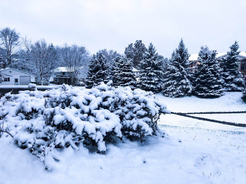
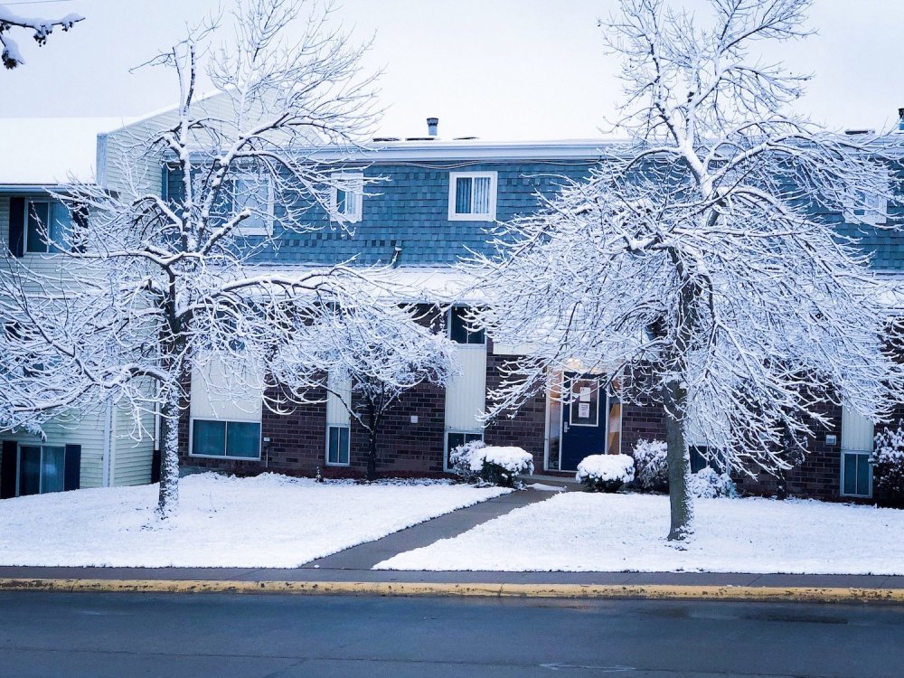
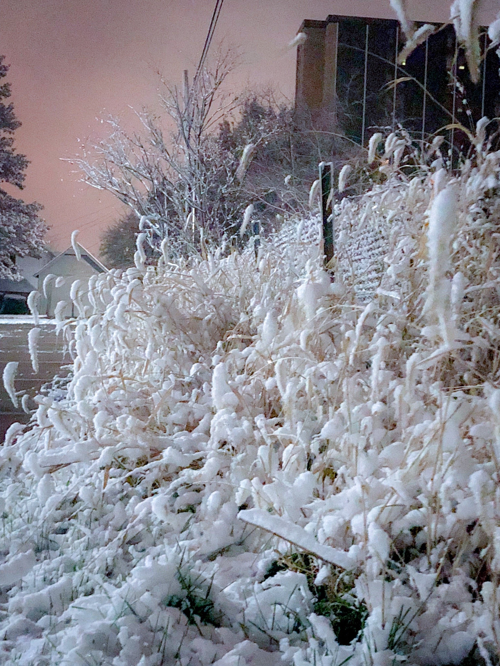
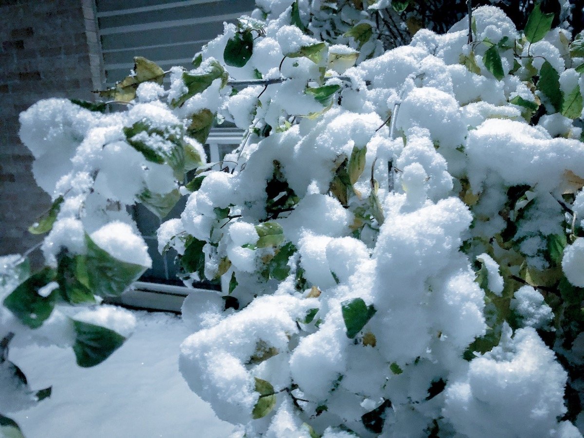
5) November 21, 2015 Pre-Thanksgiving Snowstorm. While we only got about 8 inches at my house from this event, areas further just to my north by 15-20 miles got over 10 inches and some areas north of the Quad Cities picking up close to 16 inches. I drove north the next day and a lot of the trees were covered in heavy wet, concrete like snowfall. It give me some of my best winter photos of all time. While the storm itself wasn't too impressive, the after effects were amazing to me.
Honorable mentions:
December 13-14, 2013 (entire 2013-14 winter): We were supposed to get around 3 to 5 inches of snow and ended up with over 9 inches. Some areas to my southwest in McDonough and Hancock counties got upwards of 10-12" of snow despite the low end forecasts. The snow was very photogenic as well and was the start of an epic winter. So I guess I'd lump the entire 2013-14 winter in there as it was pretty great, lot of decent events and definitely some frigid cold
December 8-9, 2009: Not much snowfall here, I think we might have gotten like 4 or 5 inches over the course of 2 days and when it was compacted it wasn't even that much, however winds gusted over 55 mph at times due to the strong pressure gradient and low pressure. The low pressure itself was bottoming out through 980mb as it passed through Central into Northeast Illinois. Most of the extremely heavy snowfall (8 to 15 inches) fell to my northwest creating major blizzard conditions. However this system struck me as extraordinary for its strength as a mid-latitude cyclone. Even getting shafted on the snowfall totals, I still remember this event almost 10 years later.
March 24, 2018: I was north of Davenport, IA at my moms house for this event. Had a couple hours of consistent thundersnow overnight and heavy snowfall rates. Ended up with just around 11 inches for a storm total. Even higher totals were found in Iowa with Mason City touching 18 inches. Impressive for anytime of the year let alone late March. Back home we hardly got anything, but seeing thundersnow like that was pretty awesome and being able to get that much snow just a week before April was cool too. Of course we all know that most places, that wasn't the last snow of the year....
https://www.youtube.com/watch?v=RY05IVId8gY
Feb 5, 2018/Feb 3, 2008 (superbowl sunday): Both events were fairly similar featuring a narrow band of extremely heavy snowfall. For the first event in 2018, we had a band of heavy snow set up over Southeast Iowa into West Central Illinois producing 2" per hour snowfall for several hours. I sat in this band for most of the afternoon and evening and managed to get over 10 inches of snow at a mobile location near the Knox/Henry county border. Snowfall totals were highly variable with amounts to the south dropping off substantially to just 2 to 4 inches and in the heavy band anywhere from 6 to 11 inches (per DVN). The 2008 event was similiar in that there was a heavy band that set up. However many bouts of thundersnow impacted my location and even some small hail or graupel as well. I don't remember the total at my house being very impressive (4" maybe?), however the heavy rates and wet nature of the snow along with the convective element made it something I remembered. What Cher, IA ended up with over 13 inches from that one band of snow too!!! And then a couple days later some of the same areas in Iowa got blasted with another foot of heavy snowfall. 2007-2008 was another insane winter.
https://www.youtube.com/watch?v=mTxeG1wiGBQ&t=11s
I've put a couple video links up for the ones I've gotten uploaded. Enjoy and awesome thread.