dryslot
-
Posts
58,746 -
Joined
-
Last visited
Content Type
Profiles
Blogs
Forums
American Weather
Media Demo
Store
Gallery
Everything posted by dryslot
-
Have some crown and turn that frown upside down..............
-
Ripping
-
Catching a piece of that line now as it has sagged south some.
-
Fookin A
-
I'm going to miss that one over Northern Lew and Greene by 2 miles.............
-
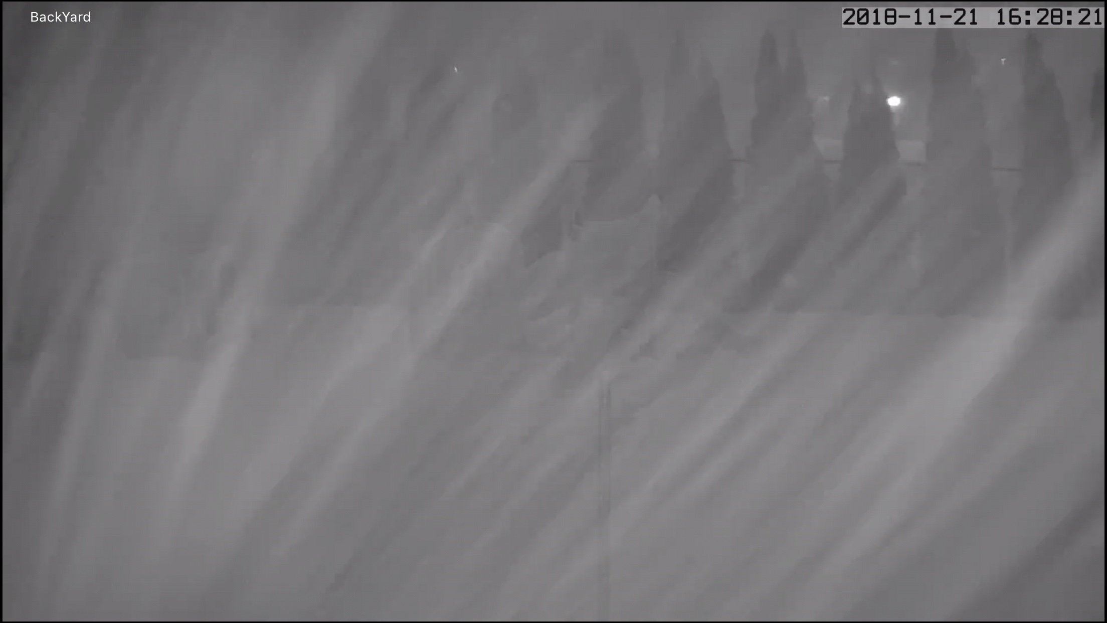
Boom, Snow Squall Warning SNOW SQUALL WARNING NWS GRAY ME 328 PM EST WED NOV 21 2018 MEC001-005-007-011-017-025-027-031-NHC003-009-212111- /O.NEW.KGYX.SQ.W.0004.181121T2028Z-181121T2130Z/ 328 PM EST WED NOV 21 2018 Androscoggin County ME-Cumberland County ME-Franklin County ME-Kennebec County ME-Oxford County ME-Somerset County ME-Waldo County ME-York County ME-Carroll County NH-Grafton County NH- The National Weather Service in Gray Maine has issued a * Snow Squall Warning for... Kennebec County in south central Maine... Northwestern York County in southwestern Maine... Northwestern Waldo County in south central Maine... Southern Oxford County in western Maine... Androscoggin County in southwestern Maine... Southeastern Somerset County in west central Maine... Northwestern Cumberland County in southwestern Maine... Southeastern Franklin County in western Maine... East central Grafton County in northern New Hampshire... Carroll County in northern New Hampshire... * Until 430 PM EST. * At 328 PM EST, a dangerous snow squall was located along a line extending from 13 miles northwest of Pittsfield to 10 miles southwest of Canton to 6 miles southeast of Woodstock, moving southeast at 25 mph. HAZARD...Visibility of less than one quarter mile in heavy snow and blowing snow. Wind gusts in excess of 35 mph. SOURCE...Radar and webcams. IMPACT...Expect hazardous road conditions. Brief whiteout conditions. This includes the following highways... Interstate 295 between mile markers 49 and 51. Interstate 93 between mile markers 87 and 90. Interstate 95 between mile markers 63 and 156. This snow squall will be near... Pittsfield around 350 PM EST. Turner around 405 PM EST. Auburn and Moultonborough around 410 PM EST. Wolfeboro around 430 PM EST. Other locations impacted by this snow squall include Detroit, Sebago, New Gloucester, Wales, Tuftonboro, Fayette, Freedom, Smithfield, Frye Island and Lovell. PRECAUTIONARY/PREPAREDNESS ACTIONS...
-
Incoming
-
Yeah, He may be slipping a little...............

-
Well I really don’t classify a primary low running up the Hudson river valley as being a cutter, One that tracks thru MI yes, But whatever the case may be, That airmass is marginal, And the coastal areas would have trouble even if this ends up hugging. Interior, A different story, But this won’t resolve one way or the other for several more cycles, The look at H5 has been different ea run so far with different outcomes, And the Norlun idea I think transitions more into a SLP as we move further in time.
-
The 12z Euro did not have a norlun, It was more of a inside runner this run with the second wave.
-
A more amplified solution is going to want to cut further west, So it would be a warmer outcome just with that as the winds would be more out of the SSW, Now if the primary ends up further east or SE before the secondary develops, The airmass is still marginal but looks like for some it would still support some frozen precip in the interior, Where is the 1040mb high in que when you need it..............
-
Close, But the mtns of NNE would be inline to cash again.
-
Get pooched by a cheap midnight high.
-
I think there will be many low max records set on TD.
-
But it has staying power, I'm quite sure you will have plenty of powder.
-
We squall
-
Wintry appeal.
-
Yup, Pac drives the bus, NAO sits behind the bus driver.
-
NAO is nice to have, But not an absolute necessity up here anyways, One could argue that down in the MA.
-
Stink loaf?
-
Eh, Maybe another hour tops, Pretty light stuff, Nothing moderate.
-
This last burst produced 1" after clearing, So it looks like 6.2" will do it here.
-
Had the wife do it earlier this afternoon.
-
5.2" still coming down
-
Looks close to 5" now at home, Will stick a ruler in there shortly.