

dryslot
-
Posts
62,752 -
Joined
-
Last visited
Content Type
Profiles
Blogs
Forums
American Weather
Media Demo
Store
Gallery
Everything posted by dryslot
-
Mypillow.com?
-
***Newsflash***, This is New England, Get use to it.
-
Go to Dr dews apartment?
-
56/29, Early spring in June.
-
What a yo yo the weather over the last month has been.
-
37 was the low here too, My plants wouldn't have taken another morning like yesterdays.
-
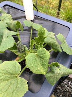
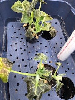
Looks like one buttercup squash plant that i had planted had some wilt from this mornings cold temps, But my two extras didn't fair well at all..
-
Yep, Solar on the roof, Let the sun do its work.
-

Spring 2020 New England Banter & Random Obs
dryslot replied to CapturedNature's topic in New England
It was awesome watching the launch, Even better being able to catch Dragon chasing down the ISS on one their orbits here on Saturday night, Then the flawless docking and boarding of the ISS on Sunday, A great day and future for space exploration. -
Have not looked at a model since the May 9th snows...........lol
-
The solar cover does its job keeping the days thermal heat in the pool water at night, Worse part right now is all the debris from the trees getting in there, Phosphate levels are high.
-
In my sons pool Saturday and it was 86°F.
-
Wasn't concerned with those, They actually like frost.
-
Well we will see how accurate the garden temp sensor is as it looks to only got down to 33F in there last night
-
Just stuck my head in the garden and it looked ok but will check later today, I probably should have known better when i saw dews in the 20's last night.
-
I don't think my plants enjoyed this, I had 31°F here.
-
After a few very warm days today came back to reality as we made it to 60F for a high, Chilly night on tap with mid 30’s.
-
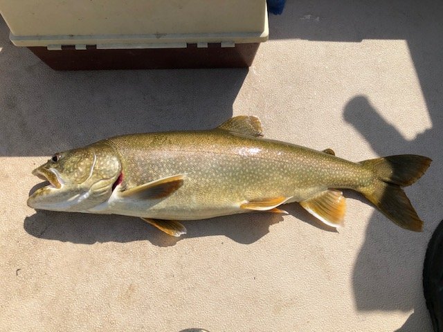
lol, Thanks, I've caught quite a few of them the past few years in the 5-10 lb range.
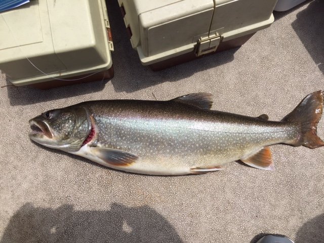
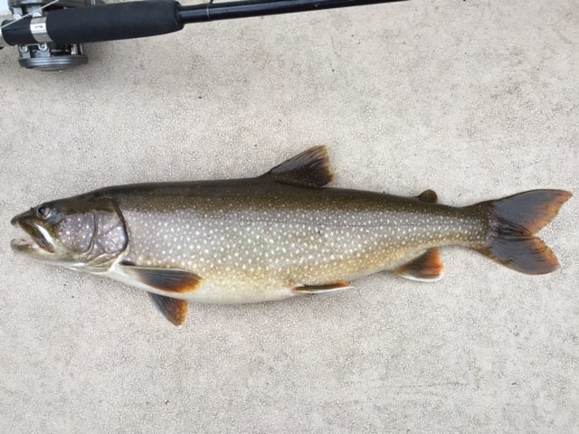
-
Take me down to lunker city, Where the lake is clean and the fish are pretty.
-
May 8-9 mid-spring rain, snow, cold, wind obs
dryslot replied to CT Valley Snowman's topic in New England
Going to be some hefty totals coming out of NE Maine. -
May 8-9 mid-spring rain, snow, cold, wind obs
dryslot replied to CT Valley Snowman's topic in New England
Bad year for them to have to have been closed. -
May 8-9 mid-spring rain, snow, cold, wind obs
dryslot replied to CT Valley Snowman's topic in New England
Overcast, 37/22°F, Quite blustery to boot with winds gusting in the 30's out of the WNW. -
May 8-9 mid-spring rain, snow, cold, wind obs
dryslot replied to CT Valley Snowman's topic in New England
Cranky says BS on this. -
May 8-9 mid-spring rain, snow, cold, wind obs
dryslot replied to CT Valley Snowman's topic in New England
All the grocery stores have jacked their prices, We spend well north of $300/wk now where we were always around $250/wk and thats without buying toilet tissue.......... And meat prices are off the charts.


