

das
-
Posts
2,154 -
Joined
-
Last visited
Content Type
Profiles
Blogs
Forums
American Weather
Media Demo
Store
Gallery
Posts posted by das
-
-
1 hour ago, nw baltimore wx said:
Wow, das. That’s beautiful. I hope you’re schooling some folks up there on those models
There’s some real talent up here. I’m enjoying learning about the microclimate specifics and distinctions of a new place. Down there, it’s all so natural since I’ve been in the mid Atlantic for so long. Up here, I am having to think hard since small areal differences have a large practical weather impact. Just like down there.
-
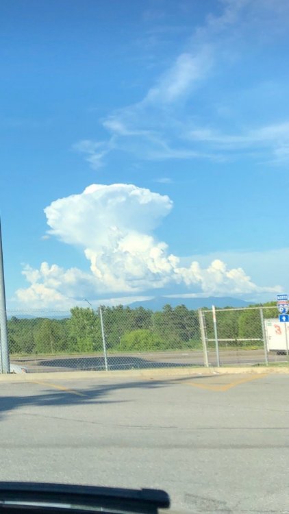
1 hour ago, powderfreak said:
There was a very brief rain shaft coming out of this one over Waterbury... but otherwise just a lot of tall skinny development.

Here it is from the west. Very Caribbean looking
-
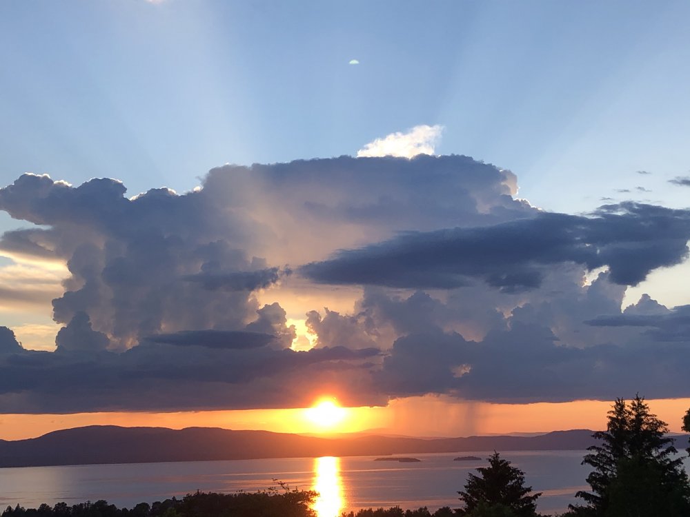
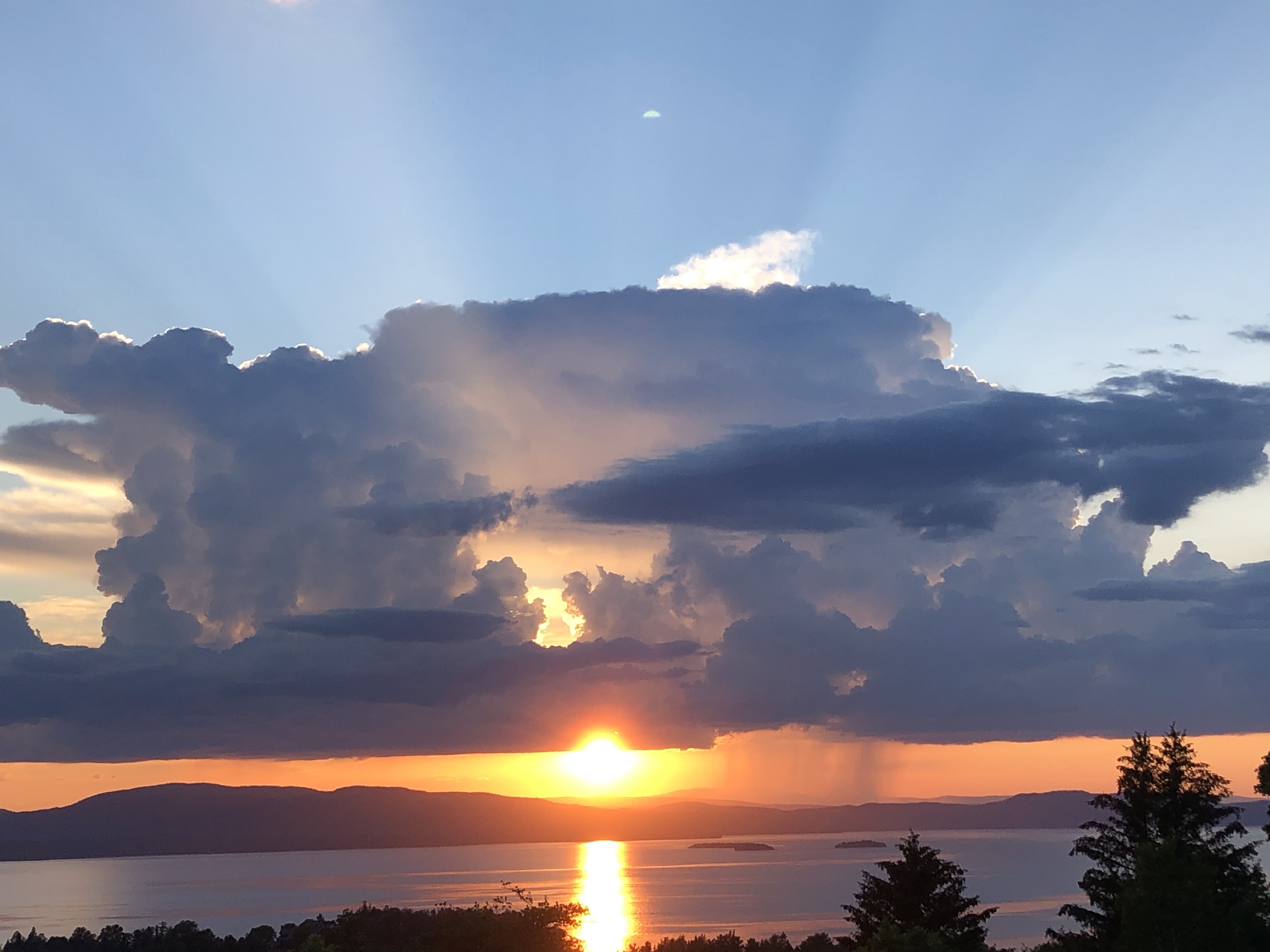
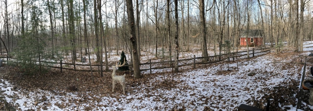
Greetings from NW Vermont, where I’ve been for 13 weeks straight. I hope everyone down there is well and safe. We finally got the very first bit of moisture from that cutoff low up here. One, single terrain-Induced shower. It was pretty though. That’s Lake.Champlain and the Adirondack Mountains in the background.

-
 8
8
-
-
The very first evidence of moisture from that cut off low has finally made it to Northwest Vermont.
-
5
-
-
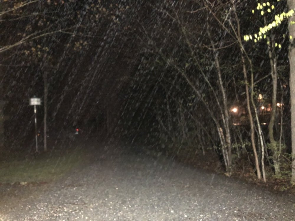
Steady snow just south of Burlington. Temp down to 35.7°F. Woo!
-
2
-
-
Hi, all. Checking in on the incredible cold front down there. Temp is 38.6°F at the house in Clarksburg. Wow.
Snow just started up here in NW Vermont.
-
1
-
-
Pea sized hail in Clarksburg. Make sure you submit your mPING reports!
-
Mani I come in here to commiserate our lost digital snow for Saturday night (since I’ll be in town this weekend instead of enjoying 10-18” up in VT) and see everyone out of their minds and eating their young. Get it together, folks. It will snow again this year.
-
2
-
 4
4
-
-
2 hours ago, WEATHER53 said:
Models are a fraud. They waste taxpayers money trying to solve a riddle they cant
No money should be spend on anything past 3 days maybe 5.
This makes me sad. Having watched your posts over the last 15+ years, I’m surprised by this reasoning and hope it’s just a by-product of the acutely bad period in the middle of a crap winter.
-
 1
1
-
-
29 minutes ago, C.A.P.E. said:
No one here gives a shiit what you derive satisfaction from
I care.
-
1
-
-
1 hour ago, powderfreak said:
We need more posters like yourself, ha. You are in Charlotte, right?
The Champlain Valley looks to take a crosshair on this one too. Northerly surface drain leading to Champlain Valley Convergence under the mid-level lift could be fun.
Yup, in Charlotte, which I've learned is really pronounced "shalahtt". While I've learned to love that northerly drain (puts a good east coast CAD to shame), the reverse southerly fire hose is equally impressive when it gets going.
Looks like BTV saw the latest runs and upped the ante. 10-18'' in the WSW now. Nice. Work keeps getting in the way of me geeking out...
-
3 hours ago, CoastalWx said:
That’s insane, but believable wherever that occurs because the dynamics with this are really impressive.
I love that the mesoscale banding and low level frontogenesis forcing look to be nearly stationary over the northern Champlain Valley (MBY, which is the only thing that really matters) sometime during the day on Friday. The moisture transport from that jet looks absolutely fantastic. Could be fun.
-
14 hours ago, WinterWxLuvr said:
For all intents and purposes every one of these maps you post, no offense to you, look exactly the same.
And look suspiciously like, wait for it, climatology.
-
4
-
-
7 hours ago, Maestrobjwa said:
Ya don't say...thoughts? Lol
I always wonder about this kind of thing. It is really in their best interest to make this kind of investment in NWP infrastructure and code? What is to be gained here? Why would they make this type of capital investment when they can just buy similar or better service from the ECMWF and NWS? Wouldn't the investment $$ be better spent on sensor network density to feed into established, well-capitalized and run NWP ecosystems?
-
15 minutes ago, BlizzardNole said:
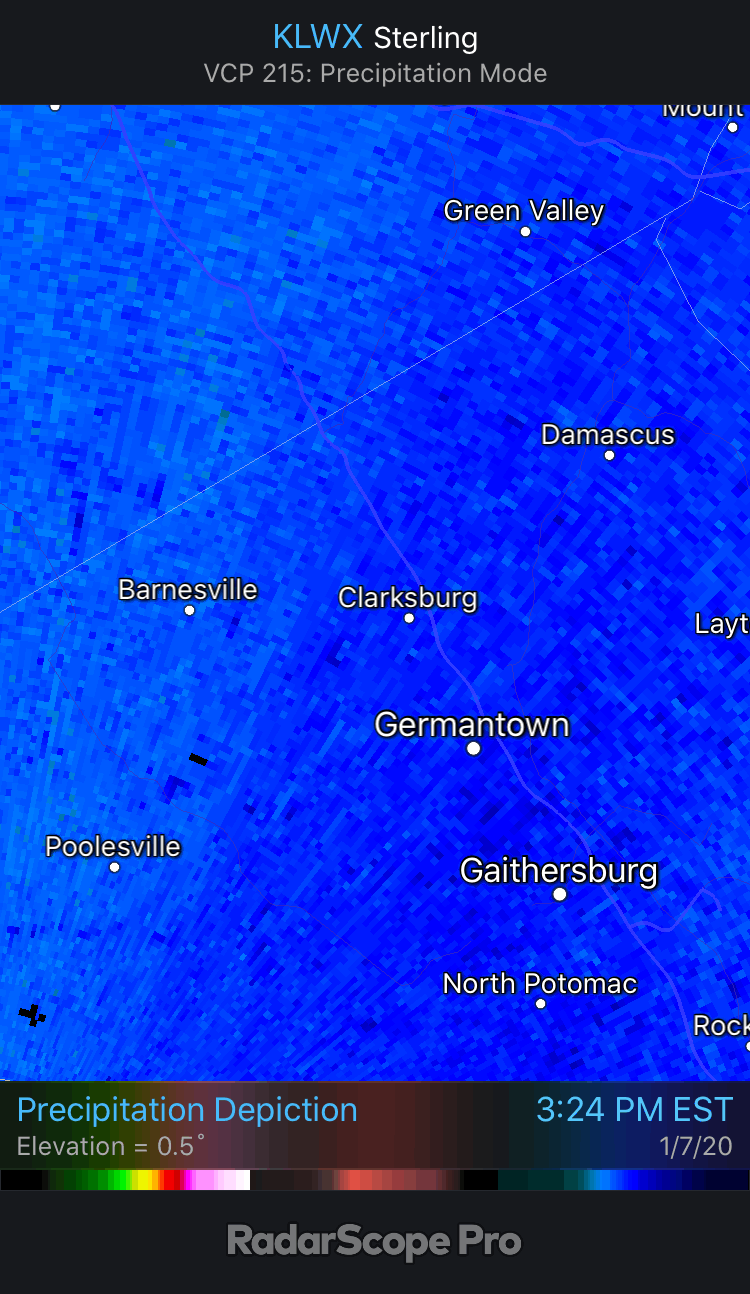
Sleet/freezing rain near Germantown, 30 degrees.
I was wondering. Nice returns overhead but all my security cams in the house just show wet outside the house in Clarksburg.
-
4 minutes ago, losetoa6 said:
Thanks for posting btw
Where is that local?
I plugged in Gfs at 12z Saturday right as precip enters ( Winchester,Va) and it looks better but still a little dry .

It's point and click on northern MoCo (Clarksburg-ish). 6 hours later and 50 miles WSW to Winchester, I am not surprised to see saturation. But, by then, we're losing the 850's...
-
2 hours ago, wxmanmitch said:
I'm liking the southward bumps today. Looks like I may be in play for this little event after all with a little front end dump overnight tomorrow and then some upslope type stuff on Thursday as the low strengthens off to my E and NE.
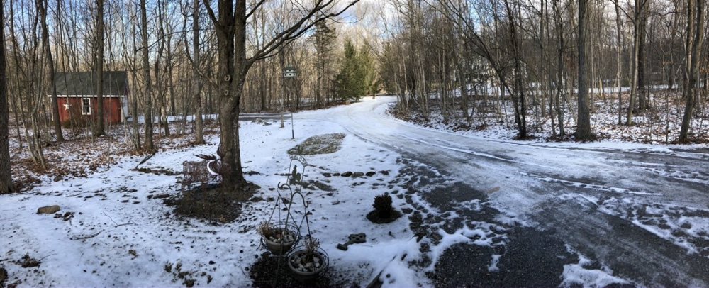
We desperately need snow here. The pack is currently less than it was at this time during the much maligned 2015-16 winter. I have about 70% coverage (depth ranges from 1-6") but that still leaves 30% bare. It definitely has that early April mud season vibe here right now with the dirty snow and mud everywhere.
May that torch we just had rot in the deepest depths of weather history hell!
Amen to that. I was happy to get a dusting last night just to turn the ground a little white. A few inches heading into the weekend event will be nice. Lift in the DGZ as the storm tomorrow tracks right overhead looks good so maybe a nice period of moderate snow.
-
1
-
-
22 minutes ago, losetoa6 said:
Im curious to see the meso models when they come into range by Thursday. If they start showing a bit better initial waa thump then that might be all most need to hold onto the column long enough for a 2-4" before sleet / ice. We need like .3 to .5" in 6hrs I'd think to help hold the column longer. Still a wayys to go with this
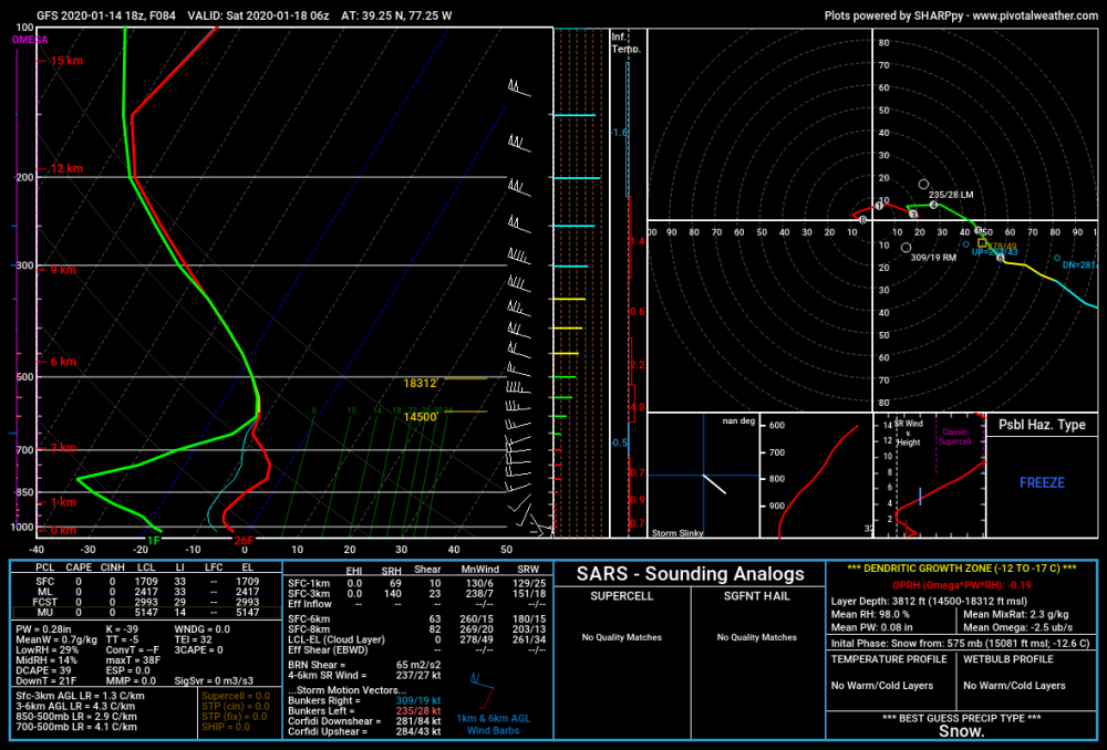
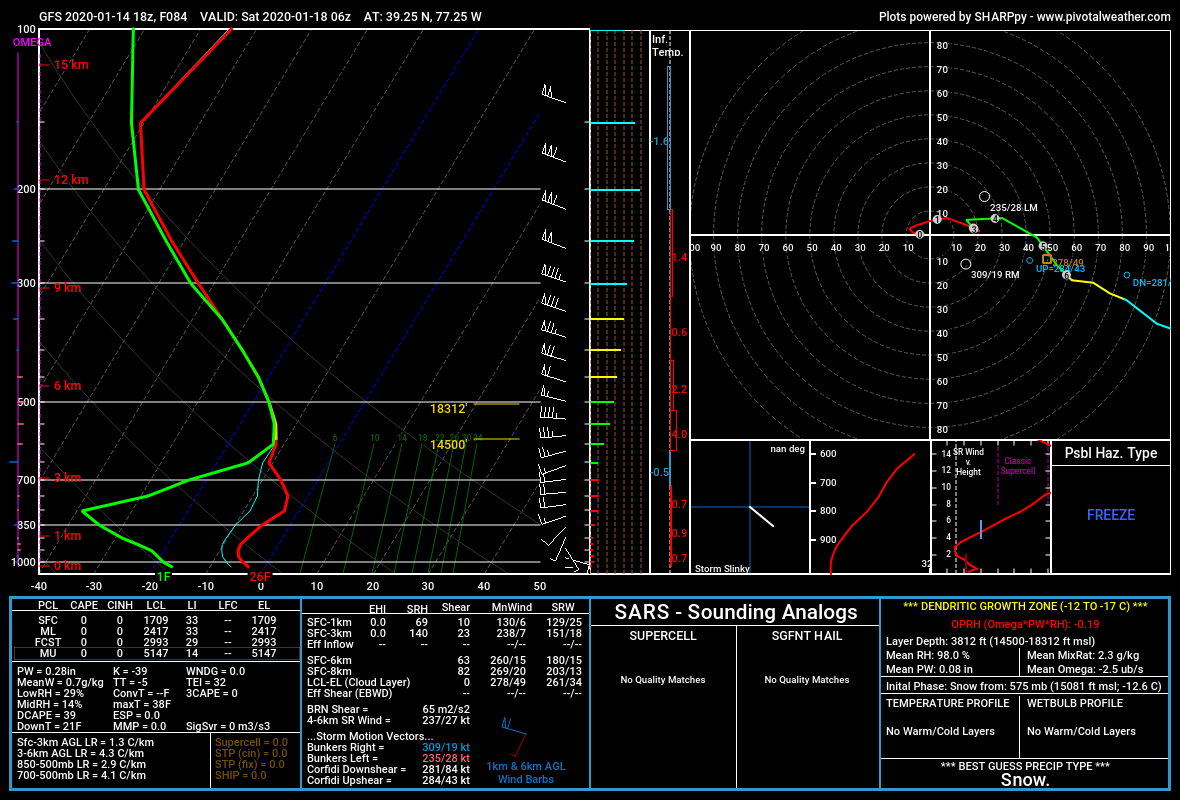
WAA thump will be hard. The column will be so very, very dry with that 1046 HP strength and placement. GFS at 1am Saturday. The bottom 1/3rd of the snow growth zone is super dry and the balance of the descent for the snowflakes is an absolute desert with dews at the surface around 0F.
-
2
-
1
-
-
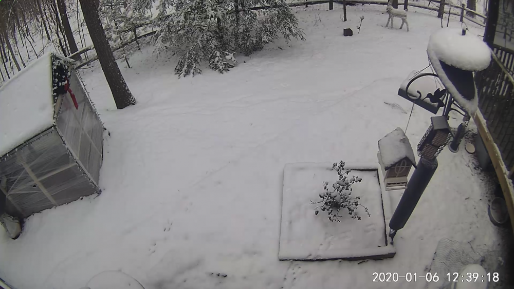
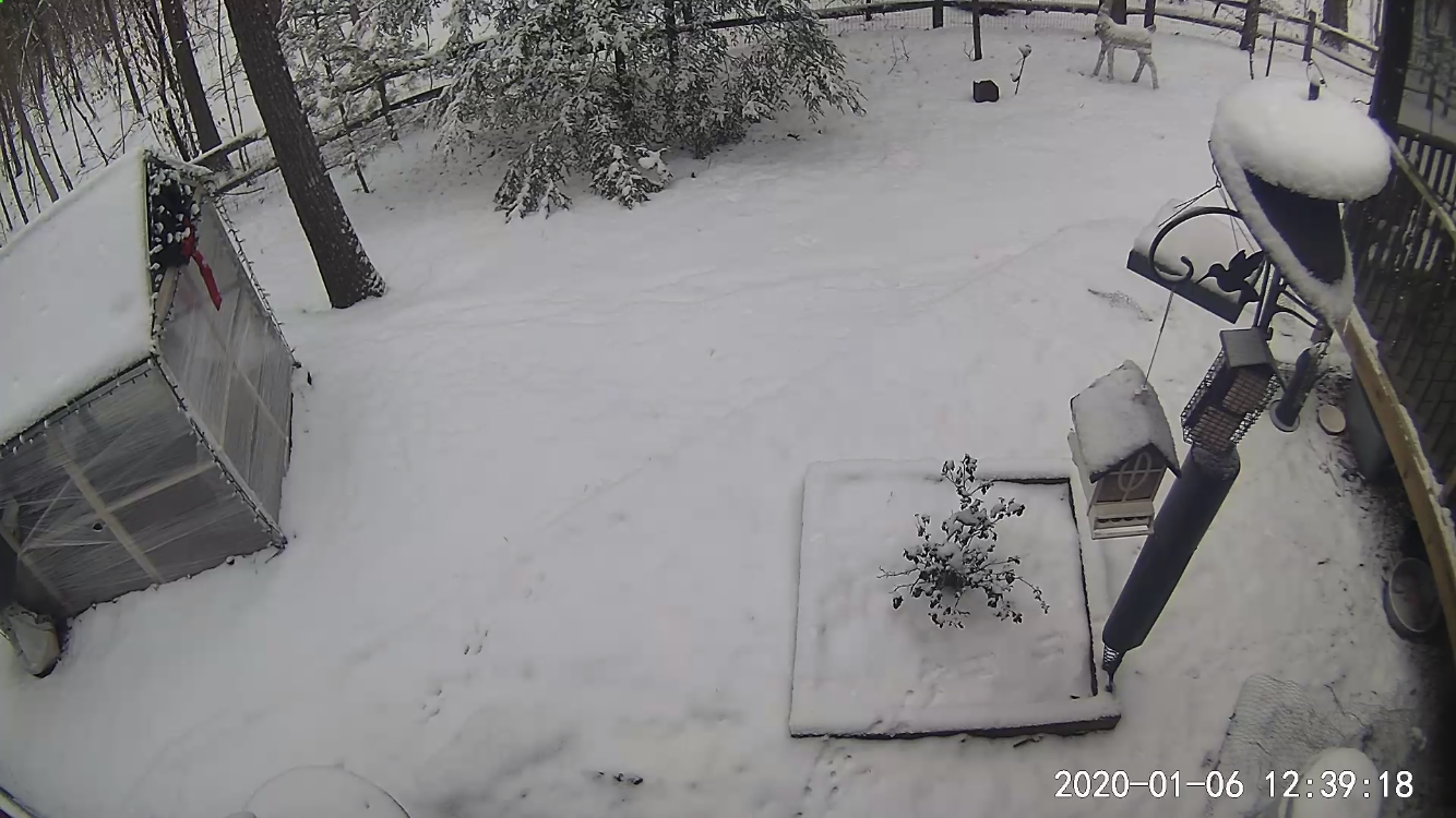
1.6” here in Clarksburg. Snow was slow to stick even though the hi temp was 39°F (late morning) and the temp was at 35°F at (rain) onset. Even when air temps dropped to freezing, the warm ground ate trillions of sacrificial flakes.
The finale at the end was rippin’ fun.
-
3
-
-
Subsidence in the middle layers modeled on the short term guidance was a little too far east so the CPV got in on the deform + a little convective enhancement from the little shortwave. Got 2.6” in Charlotte, VT today.
-
2
-
-
3 hours ago, Ginx snewx said:
The vestiges of his December to remember and no Ray there is no dog doogies.
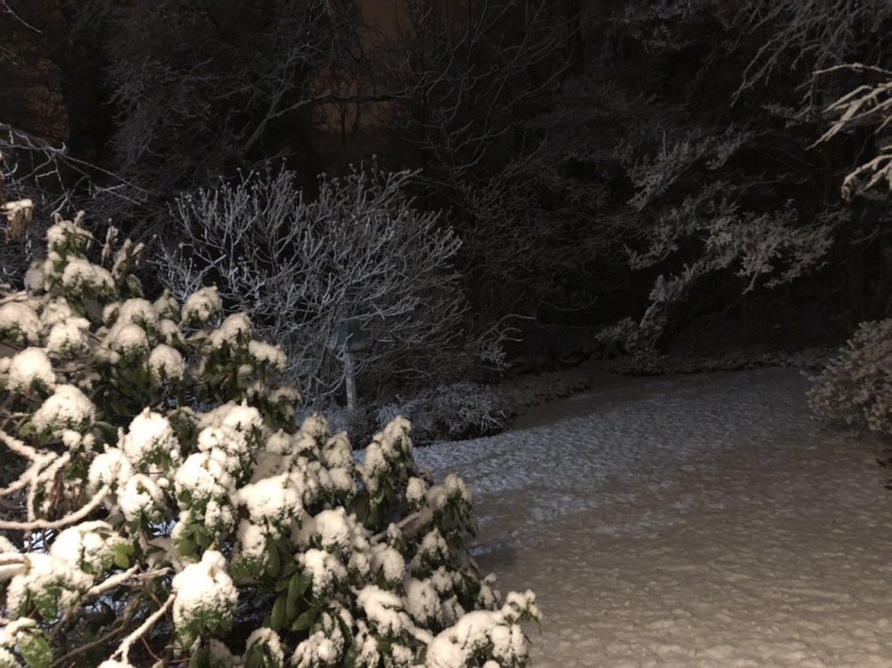
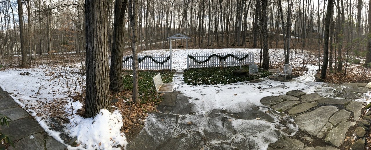
Greetings from the Champlain Valley. Not sure I’d call this a white Christmas but it’s better than 100% brown.


-
6
-
-
100% snow up here in Clarksburg. Insert ::it’s happening.gif:: here.
-
1 hour ago, powderfreak said:
About to head north back home, looks like I missed the first accumulating snow in Stowe.
In classic fashion the first accum was a heavy squall that looked on video like SN/+SN briefly...and then the sun came back out.
The ol’ couple tenths for a first snow.

The snow made it all the way down to the (Champlain) valley floor. Here is a video of the squall as it moved through while I was hiking on Mount Philo (972ft.) earlier today. The squall lasted about 10 minutes and was enough to whiten the ground.
-
On 9/18/2019 at 4:12 PM, WxUSAF said:
He better be back or I’m driving around Rockville until I find him
+1


June Discobs 2020
in Mid Atlantic
Posted
Just quarantined for now. I’ll revert back to weekdays in DC/Clarksburg and weekends up here once this thing is over. I’m fortunate that my agency can complete over 98% of its mission with a remote workforce.