backedgeapproaching
-
Posts
3,808 -
Joined
-
Last visited
Content Type
Profiles
Blogs
Forums
American Weather
Media Demo
Store
Gallery
Everything posted by backedgeapproaching
-
Lol...didnt realize it was that much. Thought it was in the 15-18 range. So yea, 22" works. I haven't seen that much in one event in the 5 years here in VT.
-
I went down to western Chester County for that one, hours and hours of 2" per hour rates. I think Philly itself sucked some exhaust from those suburb bands and ended up relatively screwed.

-
-10 here.
-
Picked up 1.4" yesterday and overnight, event total ended up being 3.9". Still underperformed a bit. Little nippy out there, but nice to have some sun and bluebird skies. Feel like there hasnt been many of those this winter. Depth is right at 12". Almost constant snowcover since NOV, which is a bit surprising in my location which can torch pretty easily and retention is not a strong suit, especially since it's a been a warmer winter.
-
Ha. -40 at RUT. I was looking at some COOP stuff a while back and saw a -35F even all the way down here in the SVT valley banana belt during JAN 94 at the Dorset COOP. So guess it's not impossible..but I will take the under on that...lol.
-
Picked up 5.1" from 2-6pm today once the flip happened. 2 day total is 8.5", which is honestly more than i thought we would get down this way, so even with the IP, ZR and RA not a bad event.
-
I don't in here, but do in cocorahs. I also dont know if its programmed to accept Trace, maybe just numeric amounts? Guess Kevin would know that.
-
A few upslope scraps down this way overnight, picked up 1.8". Same depth here as Alex-- 6".
-
Looks like they were clear most of the overnight, but had a light south wind funneling up the CPV which is a death knell for BTV radiating.
-
Little late with the update, but 4.8" final here. Looks like I was low man on the totem pole in all of SVT. Looks like every CO-OP, Cocorahs station was above 5". Eh, happens. Some below radar -SN coming down tonight.
-
Seems a bit aggressive from ALY forecasting 10" here. Pretty quick hitter, only way to hit that is maybe some lingering backside snows into Sunday. Outside chance if everything breaks perfectly I guess.
-
Always nice when those skinny bands sit over your house. 6.8" here final most likely, twice has much I was thinking originally. Although I just ran into town and seemed to be around 3-3.5" on ground and seemed to rain at some point as there was a dense crust in the middle.
-
Wonder if someone in the Underhill/JSpin corridor squeezes out a 12" from this?
-
Still snowing from some squalls from today's event and already snow map up from ALY for the weekend event. Hopefully we can keep it rolling and avoid cutter central moving forward...
-
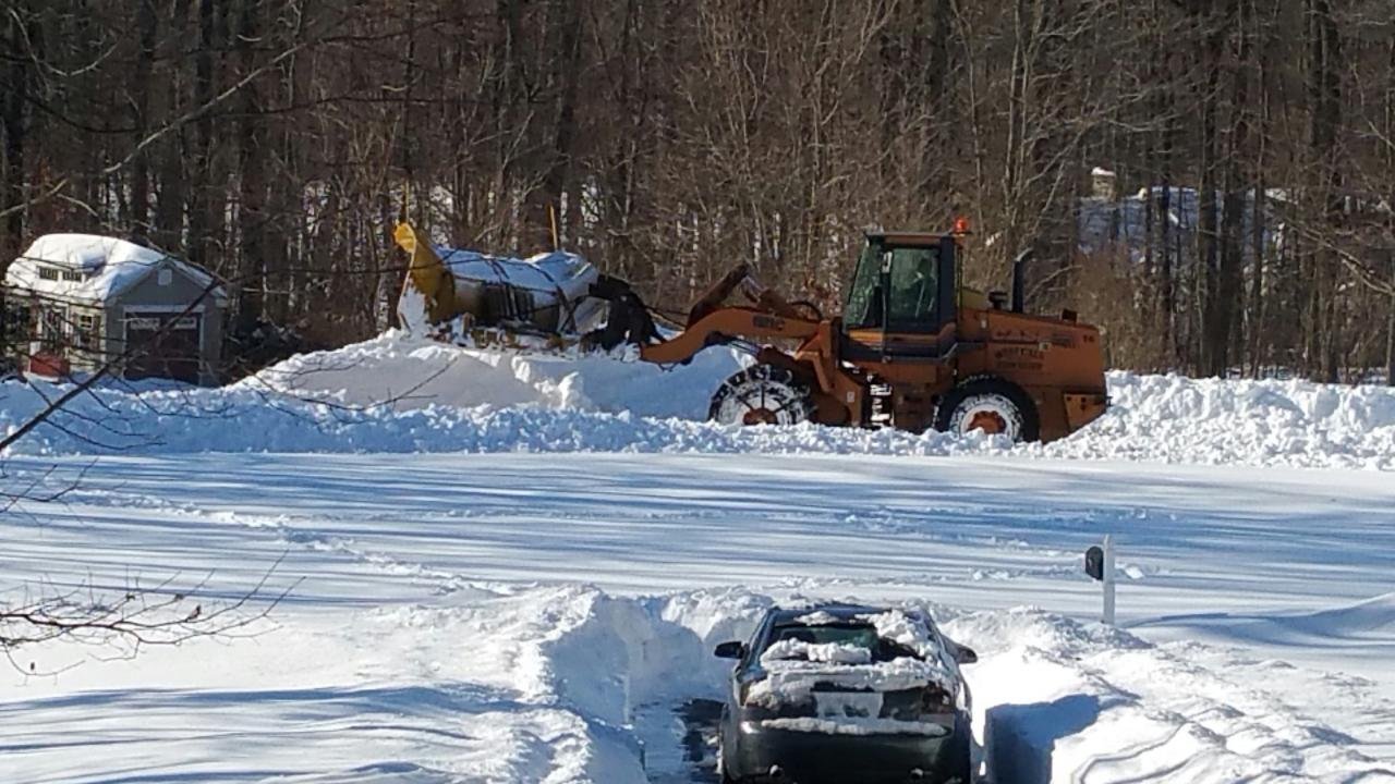
You really have to look with binoculars to even find piles in around town in Manchester. Wiped totally clean, although there wasn't much to wipe out..few inches. Time to reboot.
-
Nice hit again here...pure white haze out there.
-
LIne of squalls moved through...looked more ominous down at DDH..maybe some rumbles down there..real low VIS as you can see during and then after..ridge is roughly .25 miles away
-
Impressive totals over the past week-ish. At the same time maples are budding and flowers popping up in SCT....lol
-
Moose fart S/W's keeping the snow machine going up north... As per usual, just some scraps down this way...looks like 5-6" during the same time period that JSpin posted above.(about a week)
-
This has turned into a high end SE/E flow wind event here, honestly one of the strongest I've seen. Has to be some gusts to 60mph(maybe higher ) along the immediate western slopes. I saw 3 healthy looking snapped pine trees on one road. One of them snapped as I was driving by within 10-15 feet of my car, pretty scary stuff, and landed in someones yard. East side of town is littered with debris. This was about half a mile from where the tree missed my car. This little cabin got lucky, missed this 60 ft pine falling on the house by about 5-10 ft. No ice damage here. All wind. Its so localized too that even the western side of town when I was over there today was gusting to like 15mph.
-
What a mess....
-
Sneaky nice day today in these parts to get a hike in with bare ground and little wind before this junk arrives next few days. Just praying for sleet or 33F rain here..no need for ZR..which is rare here anyway.
-
Low-mid 40s dews are brutal on snowpack. Flipped spotlight on and looks like almost all snow vanished in a flash. Was ripening throughout the day, but mid 40s surge made quick work of it.
-
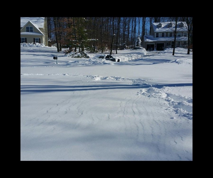
Holding to meager "pack" at home..especially compared to most of town.
-
90% of valley here in SVT pretty much wiped clean...quite a furnace yesterday..most spots were 50Fish most of day into the evening. Took a few pics when I was out earlier...can't even do an *unofficial* white xmas in most spots around here..