backedgeapproaching
-
Posts
3,811 -
Joined
-
Last visited
Content Type
Profiles
Blogs
Forums
American Weather
Media Demo
Store
Gallery
Everything posted by backedgeapproaching
-
CPV was cookin' last night on southerly breeze. BTV low of 63F, what a 4-5 day torch. Even at 6am 60s were way up in interior Canada, guess the prairie lands. Low of 50F here, Bennington also roasting with a 61F low.
-
Going to be some big diurnal ranges today in the lowest valley points. Saw some upper 20s in the deepest darkness low spots around here this morning. Maybe low- mid 70s by afternoon? Nice inversion this morning- it was 53F at 2600ft at stratton, 40f here at my house at 1100ft and 28-29F at 700ft.
-

Fall Banter and General Discussion
backedgeapproaching replied to Baroclinic Zone's topic in New England
Got my bro-in-law to send me a pic as he was out today with the plow. Those oaks are still loaded too, what a nightmare. I mulch mow as much as I can then into the woods the rest go. -
Fall Banter and General Discussion
backedgeapproaching replied to Baroclinic Zone's topic in New England
Nonstop hum of leaf blowers here this weekend as well. My brother in law lives in ORH and has an ungodly amount of Oaks on his property. Ive never seen it, but he actually plows them with his pickup truck into the woods..ha. -
Fall Banter and General Discussion
backedgeapproaching replied to Baroclinic Zone's topic in New England
I think that's a mortal lock. -
Stepping away from the election for a bit, quite the temp contrast out there tonight at 10pm.
-
Fall Banter and General Discussion
backedgeapproaching replied to Baroclinic Zone's topic in New England
Where did you see Philly stopping? Maybe its a volume issue or that different cities/counties have different methods. No idea Edit: Philly commissioner said they can do 10-12K per hour. -
Fall Banter and General Discussion
backedgeapproaching replied to Baroclinic Zone's topic in New England
Right--PA, MI, WI couldn't even start until yesterday I believe. -
Savoy had 5.3", so not totally outrageous I guess, maybe a bit weenie-ish. Mitches area down through NW MA was getting lit up on radar early this morning.
-
Same exact total here. I think tonight was always going to be the one to get the totals up in SVT, so we will see how it plays out. I have noticed that most of my uplsope events that produce anything substantial are almost always nocturnal. Substantial for here I consider 3-6", unless its an anomalous event like NOV '16 or Jan 2010 or something like that which were day and night events. It just seems like during the day time its always more cellular in nature while night its get more consolidated. Again, just speaking for my backyard specifically.
-
JSpin just smashed his keyboard.
-
On and off down here. Less than .5" so far. The main show looks to be tonight for SVT as that potent S/W rotates down out of Canada. Waterbury traffic cam looks borderline S+
-
Maybe this is what you were reading, not sure, but BTV has a nice succinct write up about it. Even non METS can sort of understand. https://www.weather.gov/btv/froude
-
Down here im thinking 1-2" at home and 4-5" at Woodford and 3-4" for Mitch.
-
I know its different now and peoples schedules are more flexible, but I dont know how you can do a 6 hour drive for a weekend and then head back to NJ. I'm beat doing a 6-7 minute drive back after a long day..lol
-
GYX
-
Sure, pick your favorite and weeniest and just call it a day. Early BTV call..
-
Down to 18F even here with almost no snow cover left except some trees/shrubs like KLW mentioned, and small patches in shade. Nice clear morning though.
-
12Z Euro looks good NVT/NNH/Northern tier of Maine. Interesting event to track at least even if some of these clowns are overdone.
-
That second one was the CMC..thing has like 3 different names on various sites...lol Yea, GFS, EURO, CMC arent going to be good at pinpointing upslope on snow maps...just not detailed enough..need mesos more for that. They can at least show that there is moisture and the appropriate wind direction to produce orographic lift. I think with your spot, its more of a mystery. Your going to need to have a few usplope only events to pinpoint what wind direction and if the flow is blocked/unblocked to see what produces. I think Alex needs more of N/NW wind and JSPin and PF area can do well on NW and W(I think?). Blocked flow doesnt get over the spine of the Greens and hits more the western slopes and even back into Burlington. Again, not sure what is best for your location. Obviously the Randolph cocorahs guy records alot of snow, so uplsope would seem to be big part of it. I don't know how detailed the GYX NWS office goes into detail about usplope in you area. BTV NWS seems to love discussing that and many times go into great detail for the Northern Greens. GYX has alot of area to cover, so not sure how detailed they get.
-
PF's basement model...
-
RGEM for Monday...even half that I would sign up for.
-
Kind of interesting that there seemed to be minimal or almost no snow accumulation difference between 600'(valley floor bottom ) and 1300-1400'. Guess enough cold air filtered in before round 2 started with the ULL.
-
Mon/Tues certainly looks interesting for you guys up north. Maybe even some scraps down here.
-
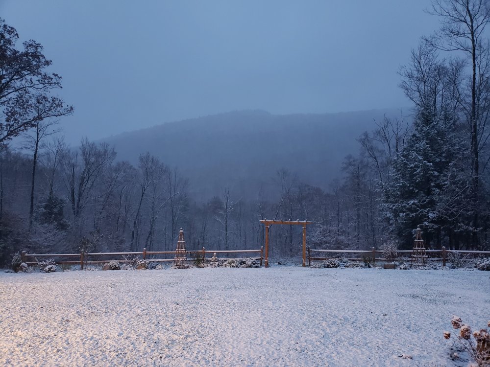
Not much here either, but whitened up the landscape a bit. Maybe 1-1.5"