
JasonOH
-
Posts
797 -
Joined
-
Last visited
Content Type
Profiles
Blogs
Forums
American Weather
Media Demo
Store
Gallery
Everything posted by JasonOH
-
Whoops. Misinterpreted what kind of fusion you were talking about. Thought you were referencing lightning for some reason.
-
Another reminder, MIMIC doesn’t update without additional polar satellite passes. With a storm that’s rapidly evolving (like this) and with the latest pass being 8 hours ago, it’s useless.
-
FWIW the energy from fusion due to lighting is orders of magnitude lower than that of the storm as a whole and has no effect on strengthening. It’s a symptom of strengthening and microphysics processes, not a cause.
-
VDM went in as 957mb. Drop had 957 with 25kt wind though.
-

Texas/New Mexico/Louisiana/Mexico Obs And Discussion Thread Part 8
JasonOH replied to wxmx's topic in Central/Western States
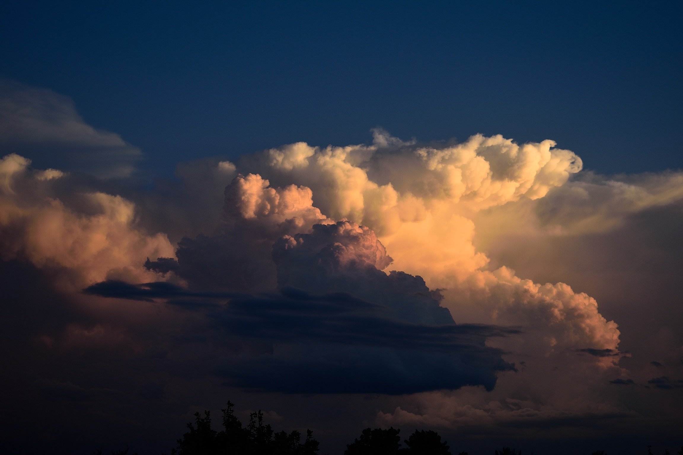
When the sounding from 0z at FWD is modified to the 65/63 of DFW, SBCAPE increases to over 1000J/Kg. Definitely want to watch these storms closely as they enter the metroplex. Storm south of Fort Worth is a total mess right now, but does have a good environment ahead of it..thumb.png.8afada9260e36a1d08f1fd43e60986bc.png)
.png.b85d5b168fb7f3b794d33bbb19b508a7.png)