HVSnowLover
Members-
Posts
2,952 -
Joined
-
Last visited
Content Type
Profiles
Blogs
Forums
American Weather
Media Demo
Store
Gallery
Everything posted by HVSnowLover
-
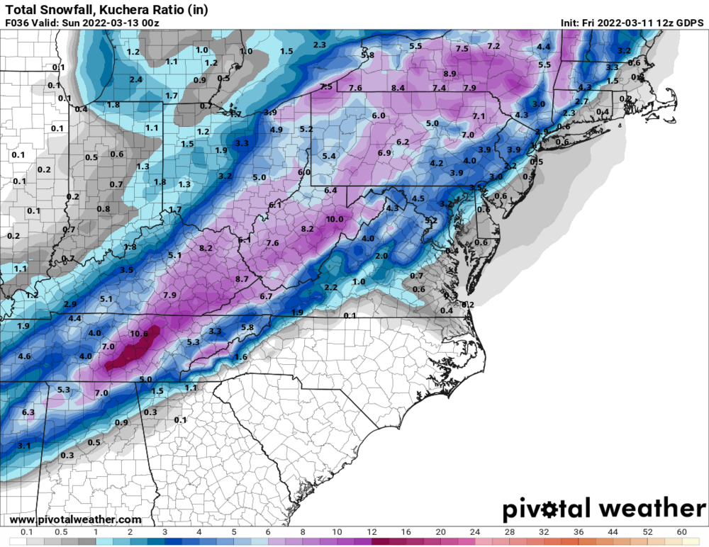
The 1 inch liquid zone on CMC would probably be the best dynamics and thats the zone I was just talking about with the best chance of a surprise, interestingly enough that zone goes right through Snowman19. https://www.pivotalweather.com/model.php?m=gdps&p=qpf_024h&rh=2022031112&fh=36&r=us_ma&dpdt=&mc=
-
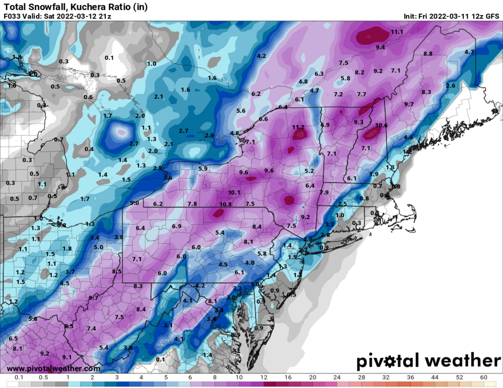
Honestly this could go either way, a small shift in track and a 1-2 hour difference in changeover could mean less than 1 inch vs 3. Of course lean low NYC Metro and Southern LI anytime it's a March storm. I'd say HV North and West of the Tappan Zee probably pretty good shape for at least 3-6. The wildcard area probably Northern LI/Immediate NW of the city.
-
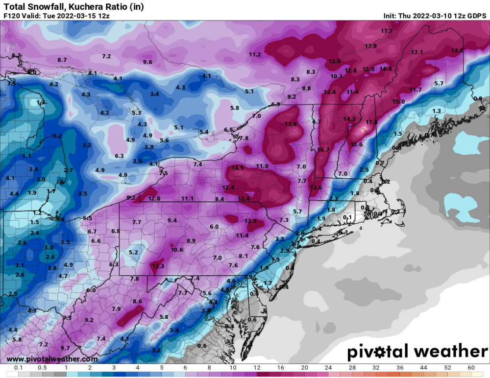
Agree I mean well inland can still snow into late March/April, I know people say pattern this, winter over etc but who knows what could pop up for them still. Also I still think Euro is too dry and factoring in ratios most of upstate NY and NE will do well with this, maybe there will be less snow west of Syracuse.
-
Every storm this winter has been wetter than modeled and also the CMC which has become sort of the go to model has almost double the qpf of the Euro so I wouldn't be too worried yet about not having enough precip with this. I'd still be way more concerned about the rain/snow line reaching the coast than this being too dry.
-
This won't be an I95 snowstorm because the airmass is too poor and the storm is too fast, even the Euro which basically has a track barely inside the BM is rain to snow for the coast and if it goes any further east it will be even weaker and more progressive and less precip. Either way I'd be thrilled with even rain changing to 1-3 inches compared to the way things were looking 24 hours ago.
-
I said yesterday for things to be interesting we'd need a way east trend to account for the typical last minute NW trend. We have now gotten the way east trend. There is now a little wiggle room for interior parts of the subforum. For NYC and southeast it's still basically going to take a miracle to see more than an inch or two.


