

BoulderWX
-
Posts
632 -
Joined
-
Last visited
Content Type
Profiles
Blogs
Forums
American Weather
Media Demo
Store
Gallery
Posts posted by BoulderWX
-
-
1 minute ago, mannynyc said:
15/20 deliver me some snow… I’ll take that 5 days out.
-
 1
1
-
-
11” in poconos and came back to about 4 solid inches in Morristown.
-
Looking like 10-12 here in the poconos where I am. Well worth the trip up!
-
2
-
-
This looks to end in a couple of hours for northeastern PA
-
7 minutes ago, donsutherland1 said:
Latest HREF:
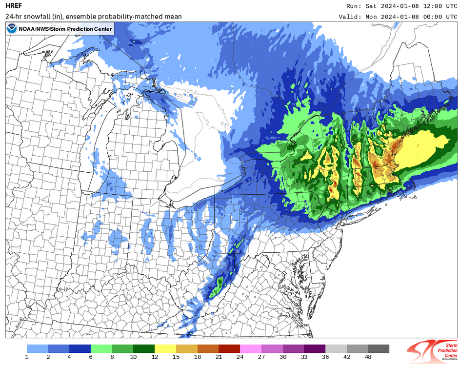
The 1" line appears to be near the border of Manhattan and the Bronx, but north of Central Park:
Maybe Stroudsburg PA wasn’t the right choice lol.
-
1
-
-
Storm moving in early? I’m heading to the poconos at 1 and looks like they’re already getting some good returns in PA
-
6 minutes ago, vegan_edible said:
dont wanna be this guy
but
nam colder
Pretty similar. And same cut off
-
57 minutes ago, donsutherland1 said:
HREF through 1/7 12z:
I’m in 6-8 and about 15 miles from 0. Nowcasting at its finest.
-
6 minutes ago, Snowlover11 said:
you should be good in boulder, co.

Hahaha I can’t change my name lol Moved back to morris county a couple of years ago.
-
13 minutes ago, the_other_guy said:
The models move run to run. it is the same storm for 4 days
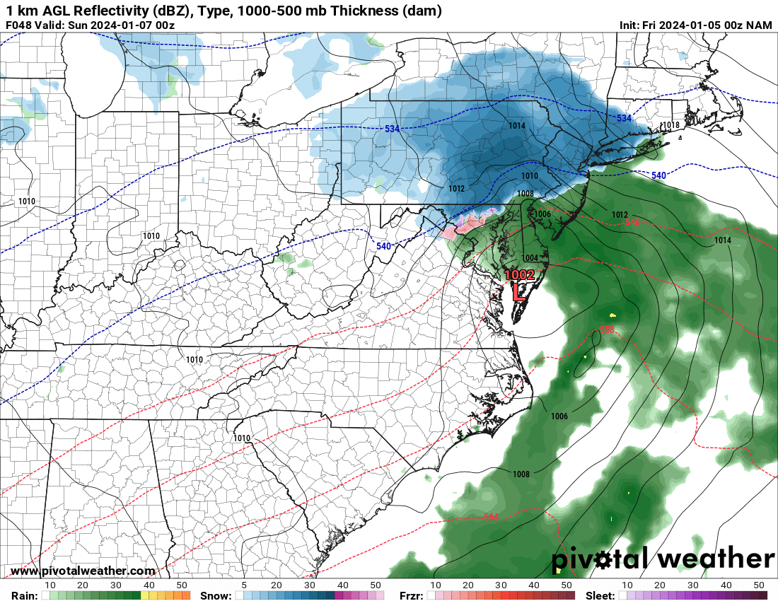
A Rain Snow line thru the Bronx + or - a few miles
Most models had me in the jackpot 2-3 days ago and I said it would definitely change. It did. Jackpot moved about 40 miles north and northwest of me. So while the snow line has stayed close to Bronx, accumulations have gone way down for borderline suburbs like myself.
-
4 hours ago, RU848789 said:
6Z NAM not good. Do we call it NAM'd?
Grosssssss
-
NAM not messing around north if central/NNJ. one run but not like be incredible if NAM scored a coup here
-
-
9 minutes ago, kingbaus said:
Looking juicy
Agree. Like it so far. Reno or profiles TBD but as you said it looks juicy so far
-
2 minutes ago, wilsonvoid1 said:
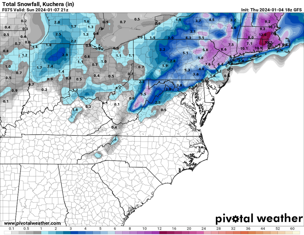
honestly the euro 18z looks good 8-10 inches of slop for NYC!

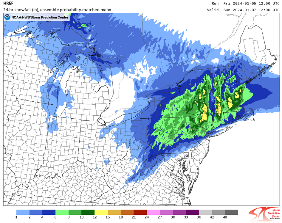
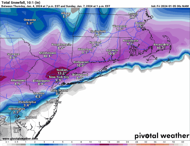
Borrowed this from New England thread @rgwp96 thank you.
A lot could change if it cranks sunday! we could get an easy 6 inches just from Sunday afternoon if dynamic cooling takes shape!
.Again keep in mind ratios. Even with this nice depiction, cut in half
-
2
-
-
2 minutes ago, sussexcountyobs said:
Ok. Yes I am somewhat familiar with area. I was thinking if you were closer by me, I'm in Sussex County, in northern Morris, like northern Jefferson, I think you will be fine.
Crap shoot for both of us. Obviously further north and west in the county you go can make a huge difference if you look at those sharp cutoffs. Any elevation will be key as well. Used to being in the battleground of r/s line most of my life. Some have been great booms but equally as many busts. Good luck neighbor.
-
1
-
-
7 minutes ago, dmcginvt said:
yup that's north, catskills, berks and most of mass get the goods, needless to say this is thread the needle with sharp cutoffs.
Poconos too. Elevation reigns supreme per usual in borderline situations.
-
16 minutes ago, sussexcountyobs said:
Where in Morris County?
Morristown area. Last the green as if you’re heading to mendham and Chester if you’re familiar with the area
-
1
-
-
3 minutes ago, the_other_guy said:
why are you losing interest? just curious? you have anything is last year? January looks nice and warm. this may be it for the month
Fair question. Don’t like the trends. Thinking it trends even lower. I don’t care if snow gets washed away the next day but could do without a gross slushy mix. Part of me thought we could see a 3-6, or 6-8 event by me but think the odds are becoming slim to none of that happening
-
Quickly losing interest in this one but something to track at least. Expecting a sloppy 2-4” here in morris county
-
10 minutes ago, Franklin0529 said:
Over an inch of precip on gfs
Lots is a wet mix or rain. Can’t rely on QPF maps in such a marginal situation.
-
1
-
-
Still going in Mass and NE of there
-
Nothing like 12z but SNE makes out well. Just another solution.
-
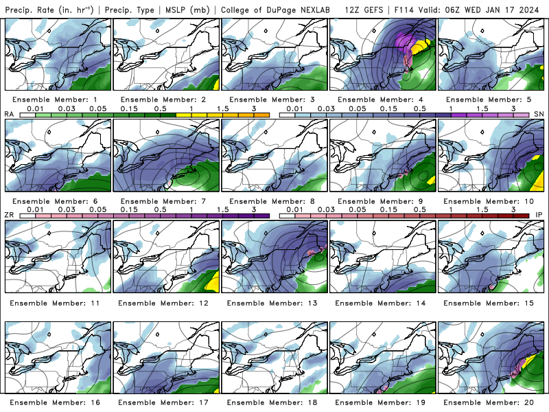
Looking relatively weak at 57, let see if we get an injection from the second row in later frames


Potential extensive winter event, I-95 west and with again a chance for NYC first inch(es) of snow Mon or more likely Tue Jan 16, 2024 (serves as OBS thread as well)
in New York City Metro
Posted
Don’t like the depiction from 12z to 18z but still a lot of fluctuations run to run. Let’s just hope this isn’t the start of trend