.png.2082198afdafcedf9ad03f1d6dfb7336.png)
HIPPYVALLEY
-
Posts
32,739 -
Joined
-
Last visited
Content Type
Profiles
Blogs
Forums
American Weather
Media Demo
Store
Gallery
Everything posted by HIPPYVALLEY
-
-
I have not really seen any substantial evidence that the Delta variants are that worrisome. If there was free and accessible anti-body testing everywhere, I bet we would see stats indicating that we are in the herd immunity stage in much of the US.
-
Yeah, 75/67 here right now. Tropical.
-
That area is one of my favorite parts of the lower 48 states. I can’t wait to get my kid out there in the not too distant future.
-
Yeah, rain forest type weekend might be incoming.
-
How rare are tornadoes in Europe?
-
You would think at some point basic human survival instincts would kick in regardless of experience.
-
This will be the next "global crisis" imho. There will be a 9-11 scale cyber attack on the power grid or banking system.
-
This news anchor agrees at around the 20 second mark of the video.
-
That’s exactly what I thought the first time I saw the video. Pretty much straight freefall. lol, already rumors flying online that John McAfee had an apartment in that building.
-
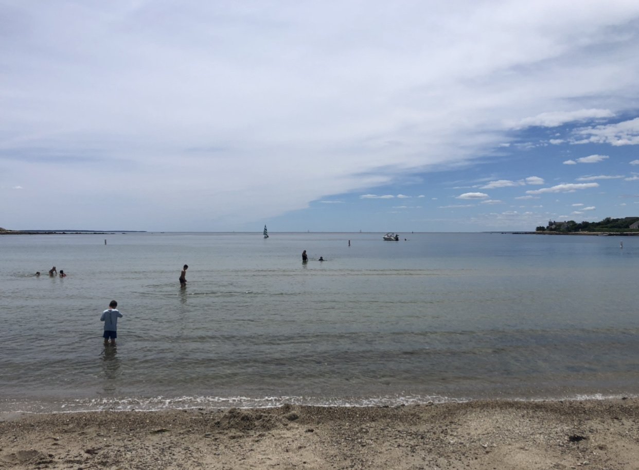
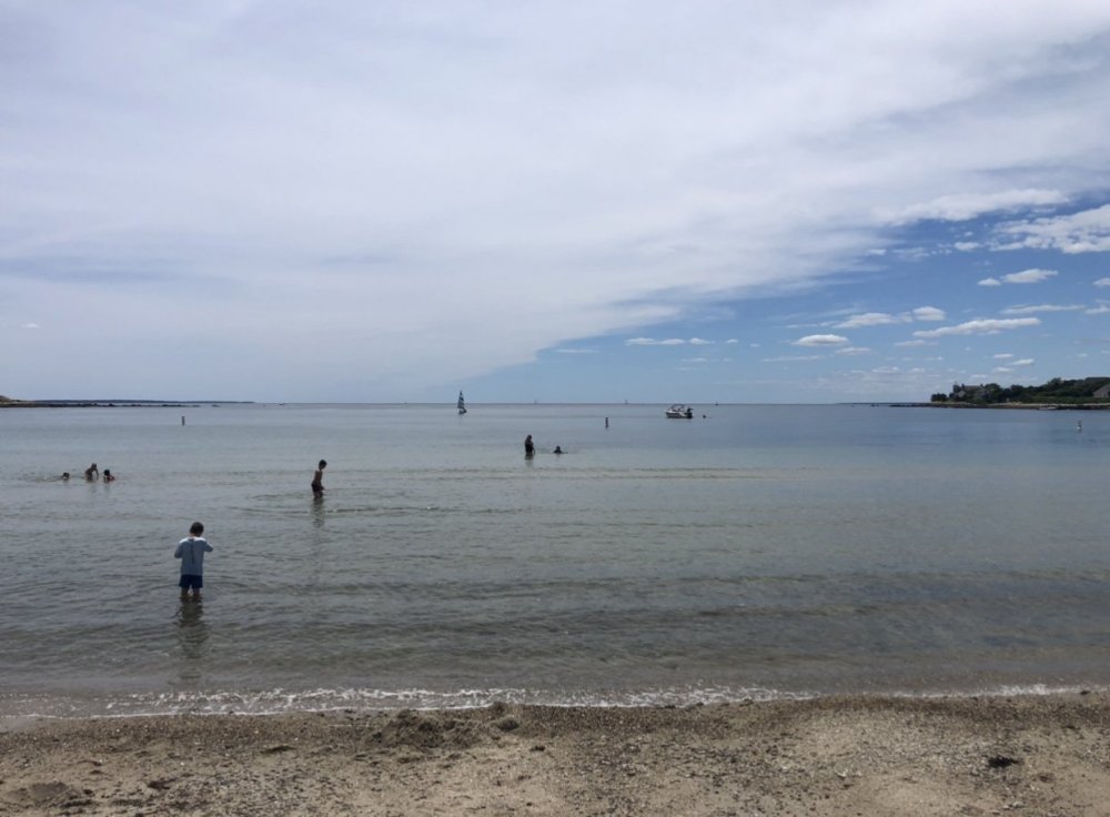
Falmouth. That picture is at old Silver Beach.
-
Chamber of commerce approved.
-
Agree. I've heard Verano's in Wells is good too but have not tried it.
-
Bandito's is really good and I'm pretty snobby when it comes to Mexican food.
-
Lots of great breweries.
-
Oh’ damn, sorry to hear that.
-
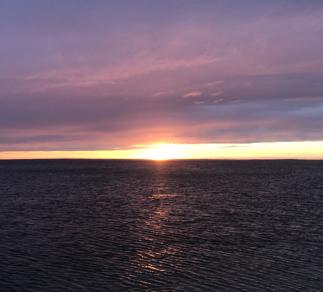
74° and foggy in Falmouth. Feels a lot better than the 90° and humid we left back in Greenfield.
-
They make a pretty wide variety of styles now. It’s certainly not the Narragansett of the 70s.
-
Many of my favorite mammal and avian encounters have been sans camera or just not possible to get a picture without ruining the experience.
-
A friend of mine is one of the brewers there. She joined about a year ago, they are making some fine ales.
-
You cannot change your drinks price more than once every seven days I believe.
-
MA happy hours were great but sloppy. I don't really miss them. This state is drunk enough without sloppy pitchers at 1am. Best to pay full price for your alcohol because it usually leads to better decisions or lessons learned.
-
Ironically those go for more now on eBay than they originally cost.
.thumb.png.4150b06c63a21f61052e47a612bf1818.png)