stormtracker
-
Posts
64,391 -
Joined
-
Last visited
Content Type
Profiles
Blogs
Forums
American Weather
Media Demo
Store
Gallery
Everything posted by stormtracker
-
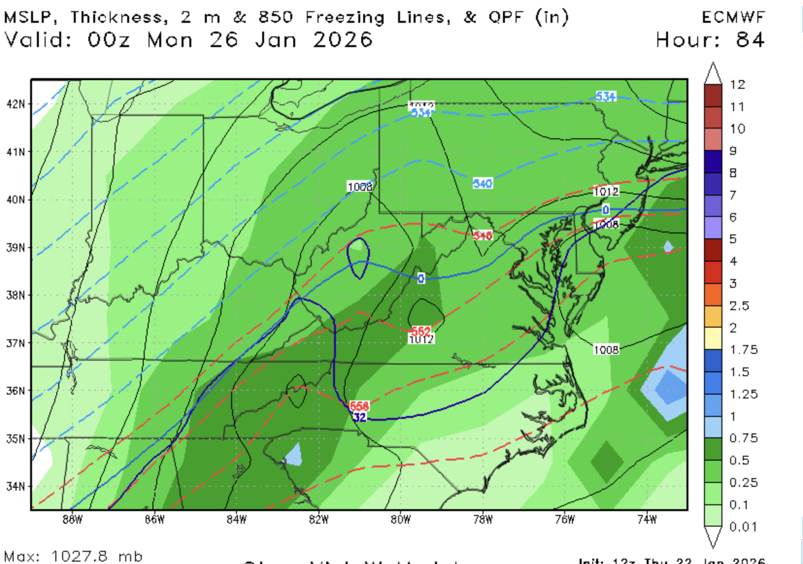
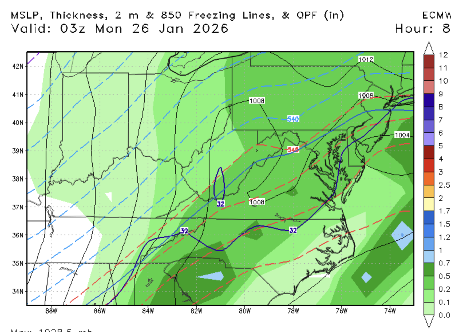
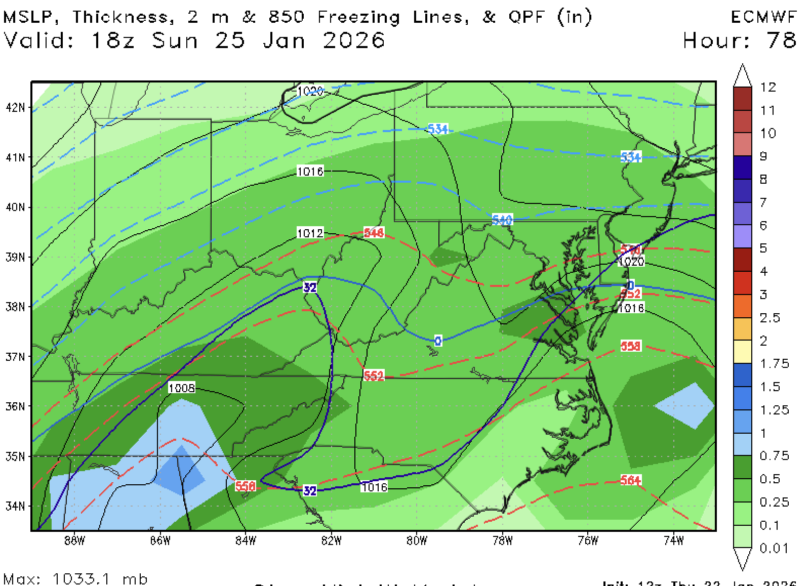
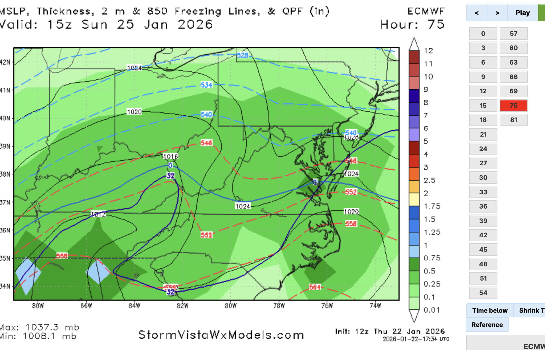
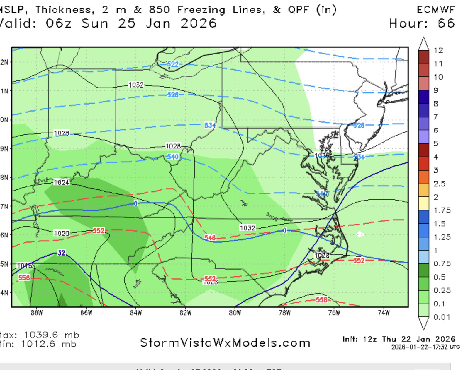
Closing in on us at 51...I dunno seems a lil wetter over a wider area out west vs 12z?
-

January 24-26: Miracle or Mirage JV/Banter Thread!
stormtracker replied to SnowenOutThere's topic in Mid Atlantic
Yeah, I think we might be stuck with no more wiggle room. But Im holding out until at least 12z tomm -
? I see slightly better confluence..but what else?
-
Well NAM time. I guess we kinda start looking to it for thermal clues.
-
Yeah, based on everything, that map is super whacked.
-
I honestly don't see anything that bad about it. It's not outlandish. I think people are tired and just ready to give off the ride and kinda give up
-
I get that, but I still think you're being overly pessimistic. We usually don't have this kind of setup leading into a storm. We'll make at least 7, mark my words!
-
I do the same for Bmore tbh...better shot at higher tho
-
I think you're low for down here. A foot not impossible, but not likely. If anything, I'd go back to my 6-10 call before the sleet bomb. Could be fun with temps in the 20s. Hey, if we getting lemons, make lemonade
-
Yeah, it's a little soon for the panic diving. I'd like to see another run like this
-
Don't see it being talked up a long by LWX or mets here, so not sure if Ice storm is on the table
-
That would be a bit of a disaster for the public
-
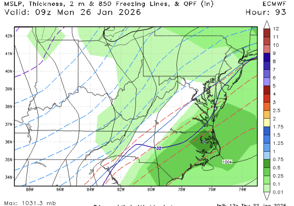
Euro has it, but well s and e out to sea
-
It all boils down to when we flip and I don't think we can know until we get better soundings. We're all kinda guessing at this point
-
If we can make it past 18z with snow, I'd be ecstatic.
-
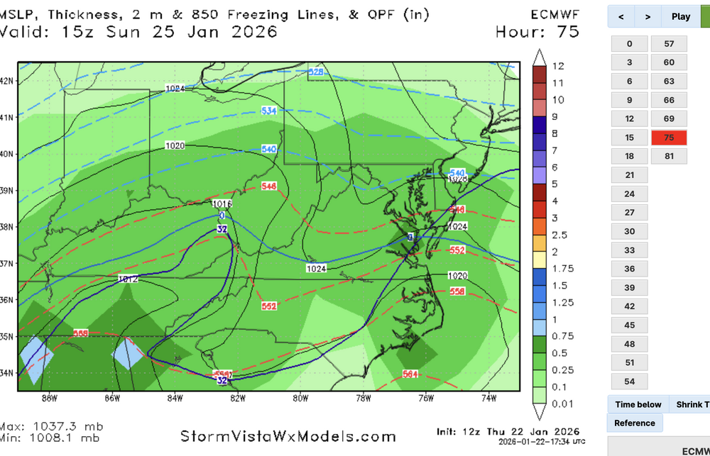
Looks like it's done 6z
-


-

-
-
Here she comes

-
on sfc maps, a little flatter out front...noticeable, but nothing to suggest huge changes
-
Nothing remarkable so far...
-
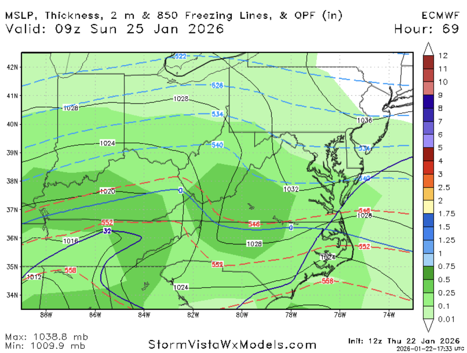
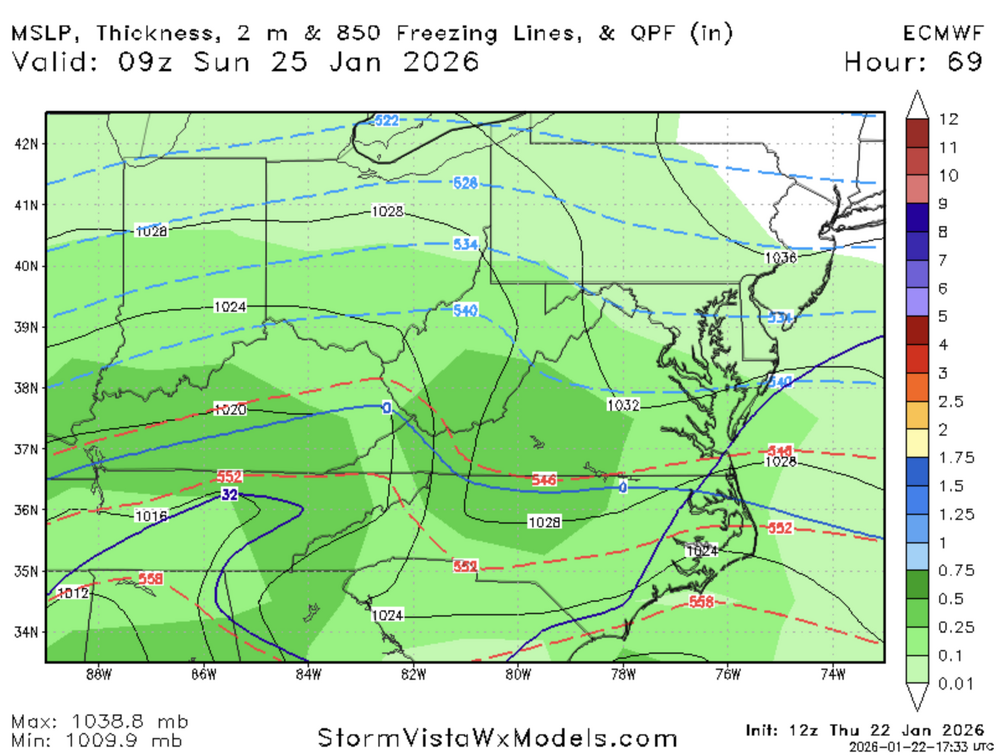
Euro has begun
-
I need a fucking break. I'll just sleep all day Monday and reload
-
I long for the days of a storm like this...uncomplicated Miller A