stormtracker
-
Posts
64,391 -
Joined
-
Last visited
Content Type
Profiles
Blogs
Forums
American Weather
Media Demo
Store
Gallery
Everything posted by stormtracker
-
-
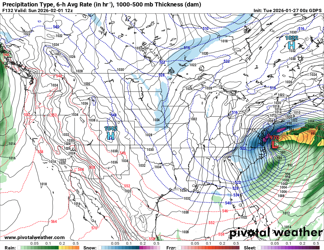
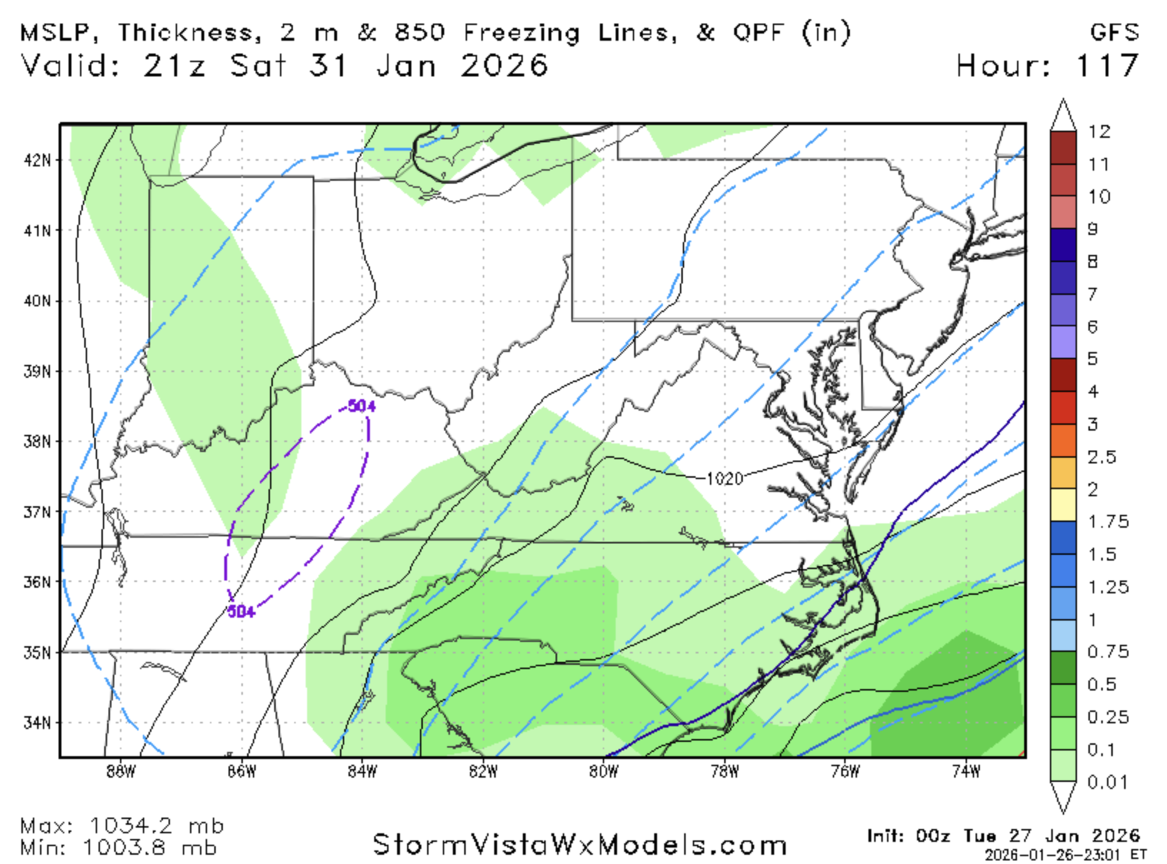
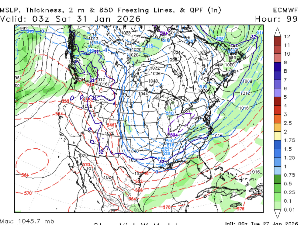
Yeah, precip breaking out is a bit further s and E than it was at 18z.
-
Trying to see some encouraging changes and so far I cannot. Doesn't mean it's going to be bad, but not seeing anything to be excited about thus far
-
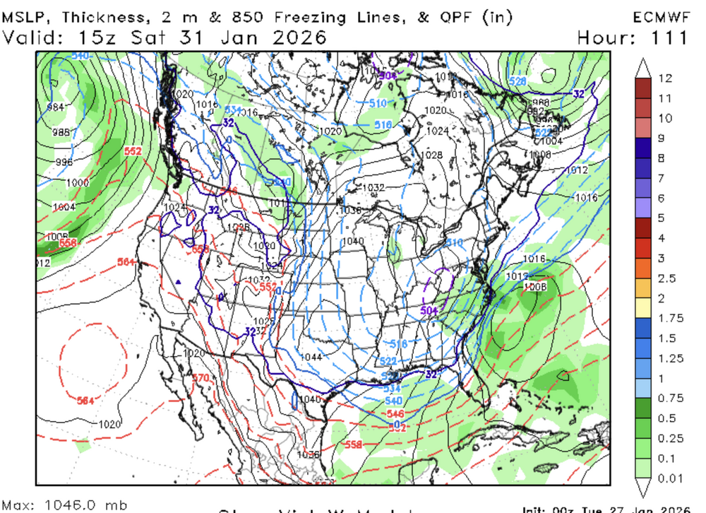
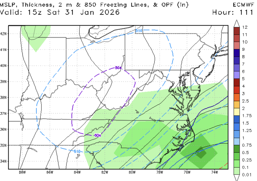
Still early...but AI Euro starting off bad isn't encouraging....brb
-
And we're off. Euro's a running
-
Indeed. Prob by like 12:35 or so
-
Ha..yeah, we lost a lot of snow. This far out...we're in a good spot. Or so they say
-


-
Swear to God if this hits the Carolinas and just goes out and we get a blip....fire will rain down
-
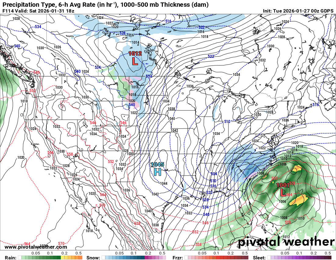
Carolinas getting crushed on the CMC. Crazy storm down there. HOpefully we're next
-

-
CMC prob about to do it....
-
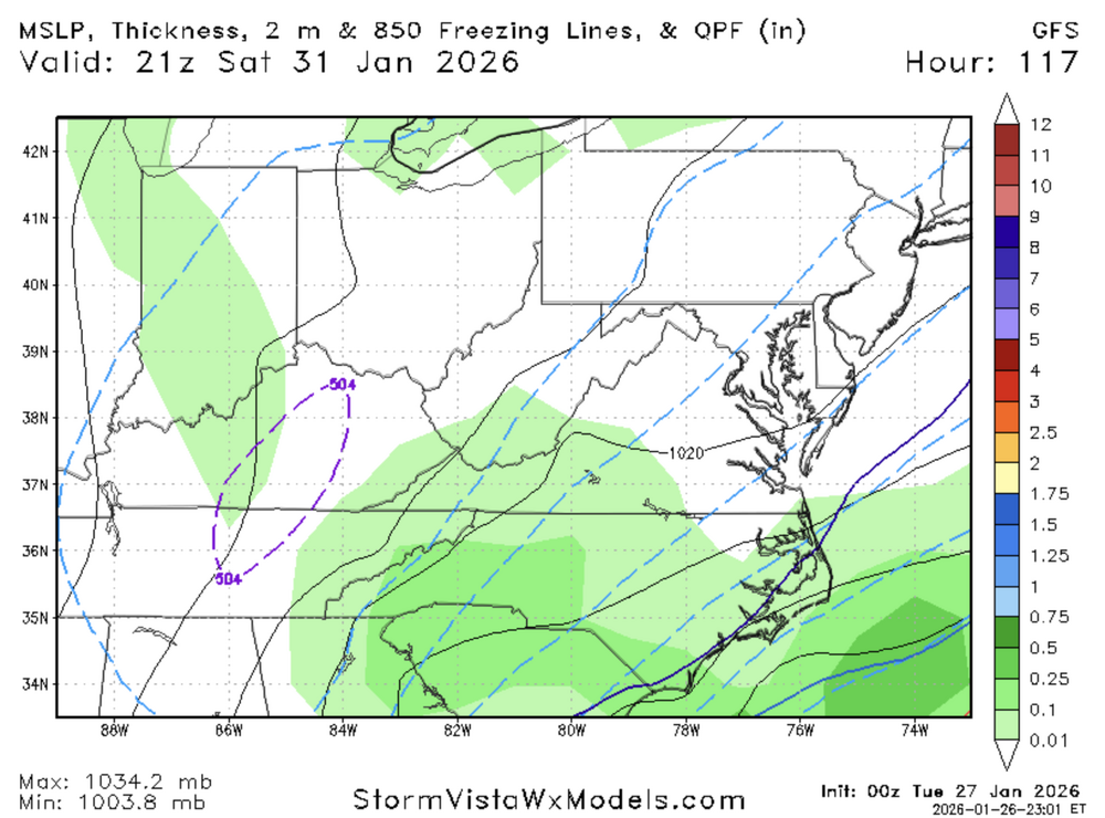
so far 0z GGEM is mostly similar to 12z version that got us
-
I'd rather lose this by 500 miles than it be that painfully close and whiffs. Stomach in knots now thinking of that scenario. Just hit us directly or move the hell out at this point
-
Verbatim, everybody would be pulling their hair out, lol
-
Damn..it's gonna be a tease and a close miss again. Still in play
-
-
Don't fuck this up GFS. It might not get it done, but it should be close
-
-
hmmm
-
-
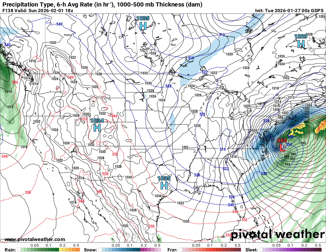
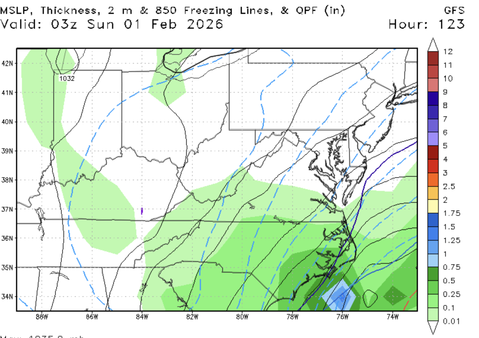
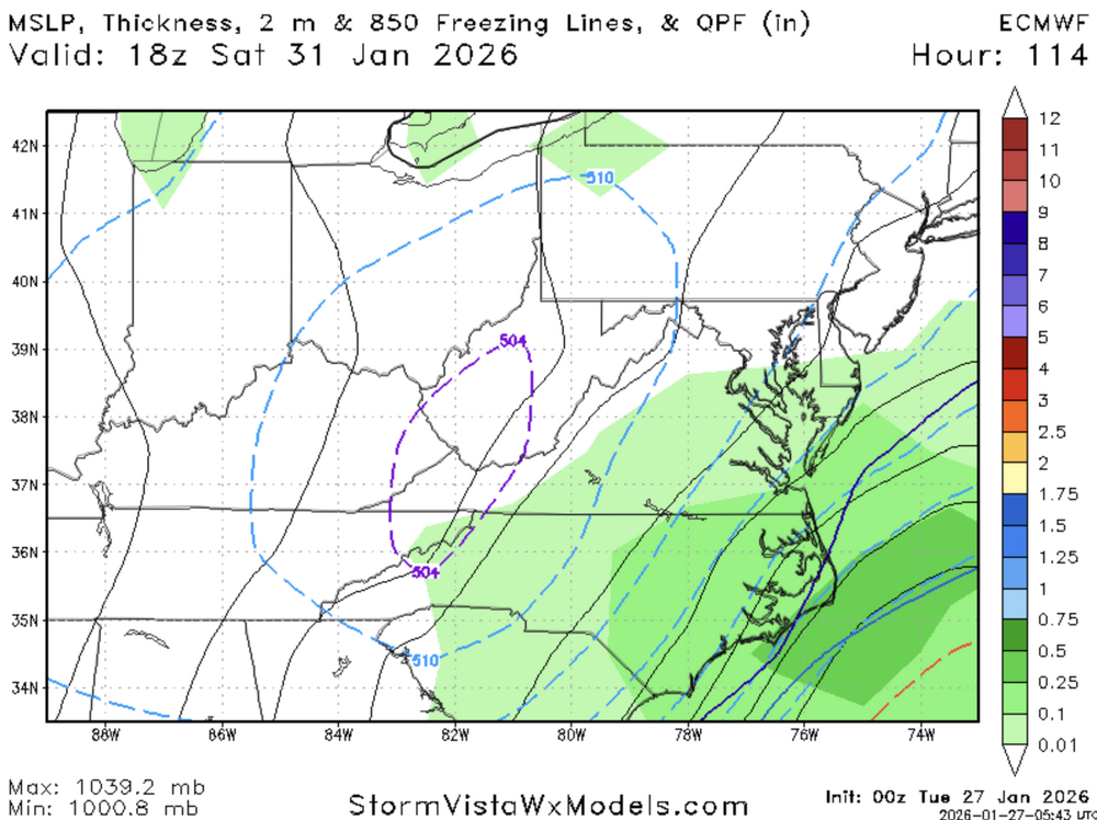
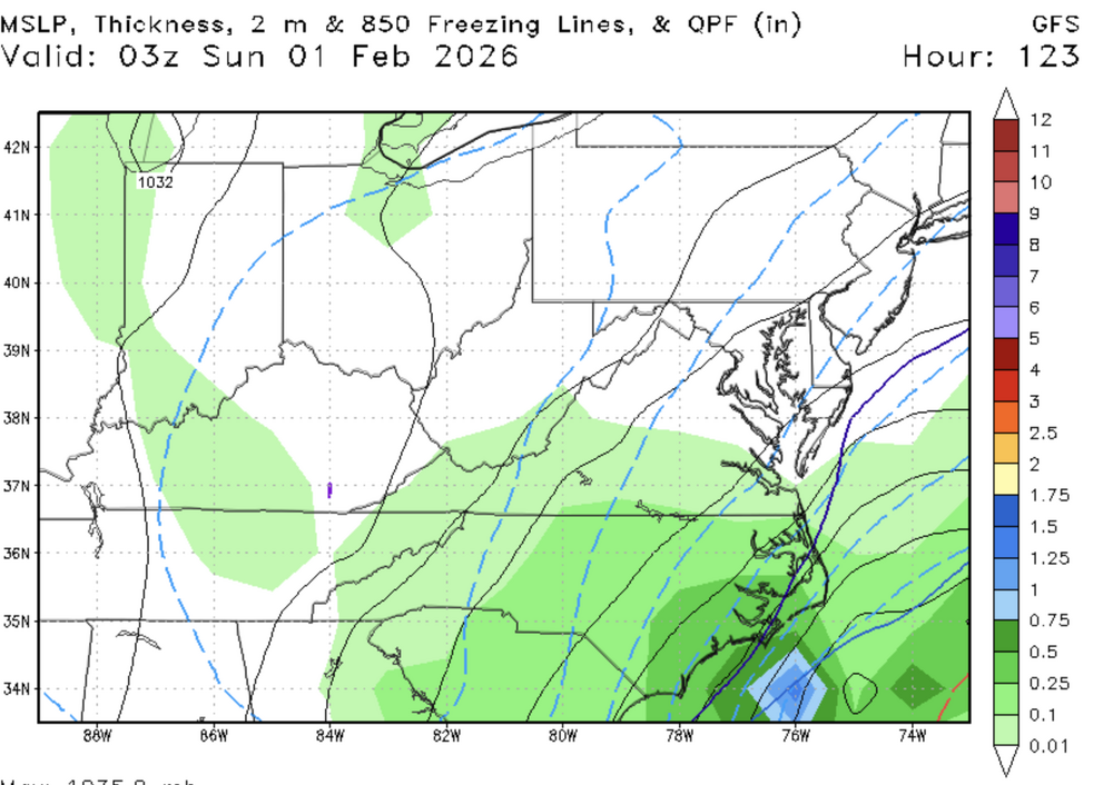
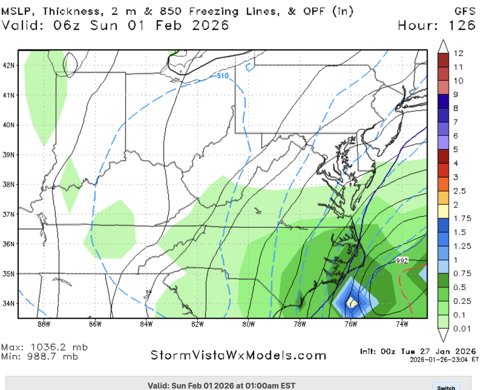
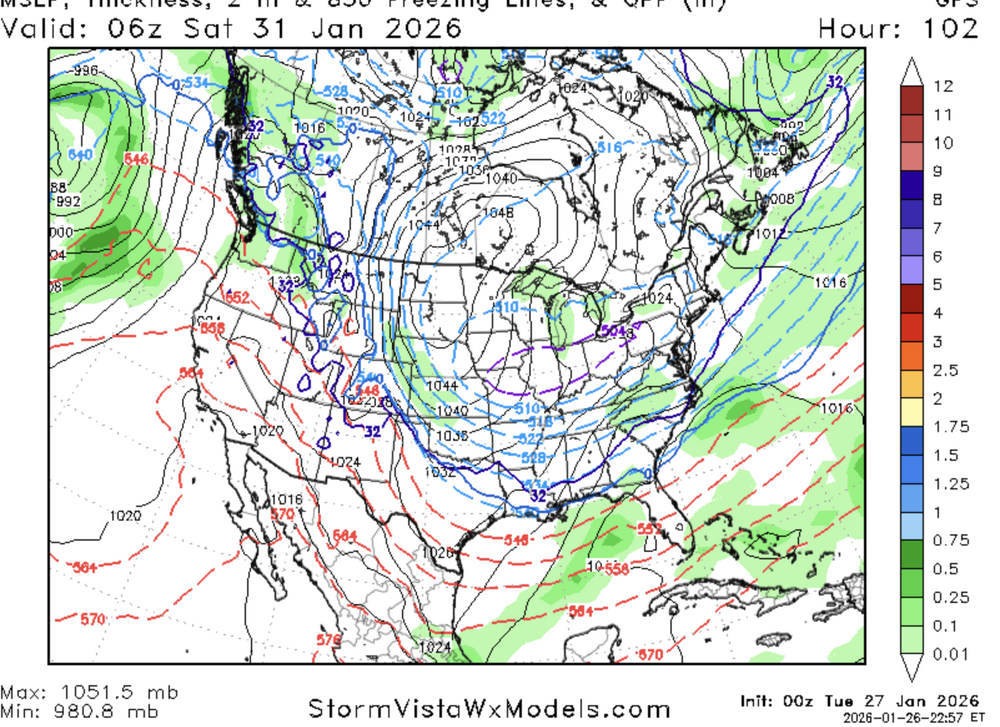
Sfc much better so far, but still not sure it's gonna get the job done
-
Looks slightly better surface wise so far
-
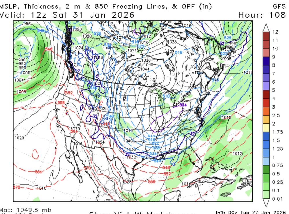
So far, nothing meaningful changewise on the GFS
-
ICON is laughably terrible btw