stormtracker
-
Posts
64,383 -
Joined
-
Last visited
Content Type
Profiles
Blogs
Forums
American Weather
Media Demo
Store
Gallery
Everything posted by stormtracker
-
About 2" here in the mountains of DC
-
Granted
-
3k is pretty good with the backside love
-
Yall haven't seen the 6z NAM, have you? Does it have snow till like 20z? Am I reading this right? And then some backside band?
-
About an inch up here. I'm awaiting the heavies
-
Fucking snowplow dawg. One side fell. They plowed the other. Need heavier rates to counteract the plow bullshit.

-
I might come down
-
I remember this one well. I got some shots just up the road near my place
-

January Medium/Long Range: A snowy January ahead?
stormtracker replied to mappy's topic in Mid Atlantic
UKMET blows too -
Heading out soon for the first Jebber. Prob in 30 mins
-
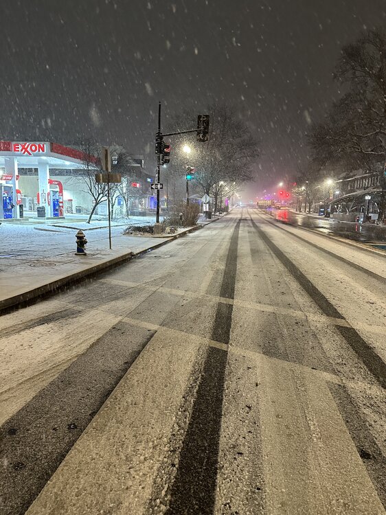
Waiting for a bit, then I'm going to check the official sign that it's a legit snowstorm: CONNECTICUT AVENUE cave
-
January Medium/Long Range: A snowy January ahead?
stormtracker replied to mappy's topic in Mid Atlantic
Yeah, not worried at all at this point -
January Medium/Long Range: A snowy January ahead?
stormtracker replied to mappy's topic in Mid Atlantic
I think all of the models are going to have various issues and solutions with the timing. Probably all the way up to like Wed and-- Wait a minute, what the fuck is wrong with us? We're about to get snow that could approach double digits and we're really looking at the next thing? We're just a weird bunch of people. -
January Medium/Long Range: A snowy January ahead?
stormtracker replied to mappy's topic in Mid Atlantic
Euro keeps doing it's thing where it has the southwest vort dig SW for oil. No-phase lookin ass -
January Medium/Long Range: A snowy January ahead?
stormtracker replied to mappy's topic in Mid Atlantic
Do I nee to tap the sign? Don't make me tap the sign Chuck. -
January Medium/Long Range: A snowy January ahead?
stormtracker replied to mappy's topic in Mid Atlantic
Yeah...can confirm..that's a real map. Can't see precip maps..but does have a diffuse low that moves along some positively titled pos. Don't know if it got any precip back to us. Doesn't seem like it. Oh well....only 1800 more runs to go! -
January Medium/Long Range: A snowy January ahead?
stormtracker replied to mappy's topic in Mid Atlantic
and just like that, it's rolling. lol -
January Medium/Long Range: A snowy January ahead?
stormtracker replied to mappy's topic in Mid Atlantic
Ah..ok..yeah, that h5 map sucks -
January Medium/Long Range: A snowy January ahead?
stormtracker replied to mappy's topic in Mid Atlantic
He's trolling. It's still stuck at 18 -
Nah, that was another sock/troll account.
-
Pixie dust!
-
Look at him go
-
January Medium/Long Range: A snowy January ahead?
stormtracker replied to mappy's topic in Mid Atlantic
Stuck at hour 18. They know. They know wtf they are doing. -
January Medium/Long Range: A snowy January ahead?
stormtracker replied to mappy's topic in Mid Atlantic
Somebody needs to go to Europe and unplug it and plug it back in