Luftfeuchtigkeit
-
Posts
168 -
Joined
-
Last visited
Content Type
Profiles
Blogs
Forums
American Weather
Media Demo
Store
Gallery
Everything posted by Luftfeuchtigkeit
-
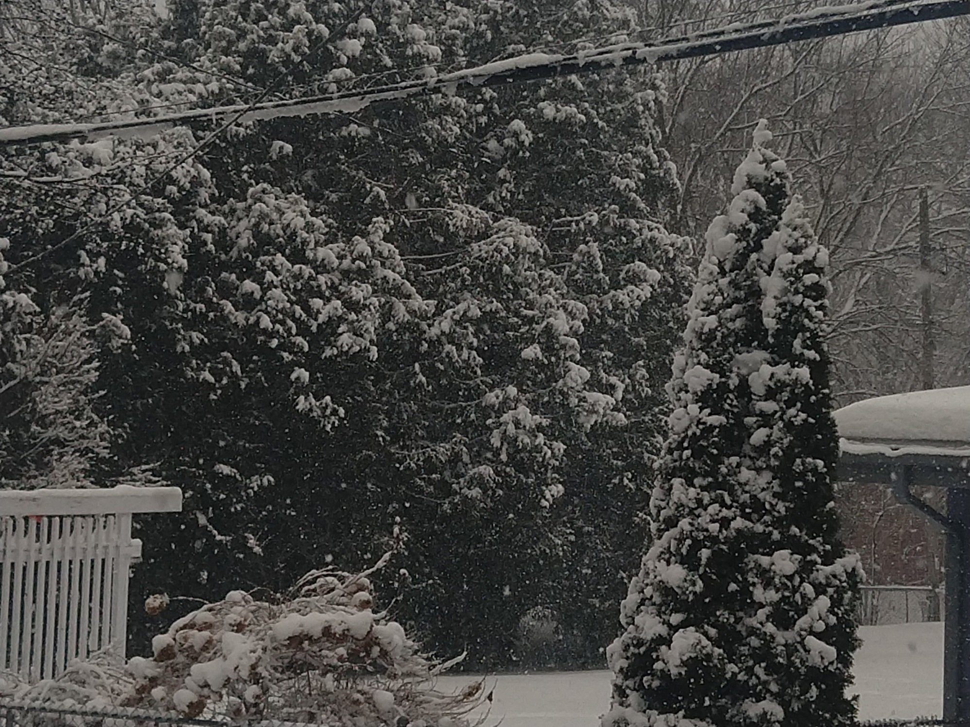
6.0" storm total yesterday, depth is 13". Very pretty snowfall, but wet and tiring to shovel. Forecast was for 1-3", so this way overperformed. We finally got a winter weather advisory late in the afternoon after most of the snow had already fallen.
-
5.6", still all snow, no sleet or rain has mixed in.
-
This wet snow is so pretty....5.0" measured.
-
Huge flakes now, 4.6" total. Need to get out and do the hard work of shoveling the driveway before my wife gets home.
-
Man, what a great daytime snowstorm for my day off. 3.9", 7 tenths in the last hour. Total depth is about 12 inches, deepest so far this winter.

-
SW by Raymond Rd and Verona Rd. 3.2" now. I think 4-6" is in the bag. Congrats RGEM on consistently showing higher amounts for us. Most of the other models showed a mix and/or main precip farther north.
-
I just got back from running errands - despite the mid-February sun angle and midday timing, it's coming down hard enough to accumulate pretty well out there. I measured 2.3" when I got back home.
-
It started with light snow around 9am, but now we're getting big wet flakes. Probably already half an inch down. I was expecting very little with this storm because of the northerly track and mixing with rain, but if it keeps this up very long we're going to get more than expected.
-
Looking like southern WI could get a few inches of snow out of this, but still needs to be pinned down better.
-
2.5" here, a bit more than I expected. Also drifted around nicely.
-
Flurries starting here. Expecting up to 2".
-

January 22nd-25th Winter Storm Potential
Luftfeuchtigkeit replied to Thundersnow12's topic in Lakes/Ohio Valley
1.8" new snow, 3.3" 36hr total, depth 8". With the temperature right at 32 degrees, the snow overnight stuck to everything and it's really pretty. I'm expecting maybe another 4" tonight if the heavy snow pivots west far enough.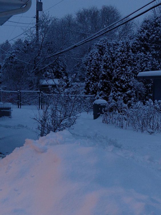
-
January 22nd-25th Winter Storm Potential
Luftfeuchtigkeit replied to Thundersnow12's topic in Lakes/Ohio Valley
RGEM and GFS have both moved west with the low track on the 12Z runs, but neither is as far west as the NAM. Farther west position gives Madison more snow. GFS still showing mostly rain which seems wrong, at least around here. I had 1.3" this morning and it's really pretty. Still very light snow falling and accumulating, very slowly. -
January 22nd-25th Winter Storm Potential
Luftfeuchtigkeit replied to Thundersnow12's topic in Lakes/Ohio Valley
Wabasha MN is leading so far with 5" . https://www.weather.gov/source/crh/snowmap.html?sid=arx -
January 22nd-25th Winter Storm Potential
Luftfeuchtigkeit replied to Thundersnow12's topic in Lakes/Ohio Valley
12k NAM looks impressive, but all that precip adds up to all of 0.2-0.3" over 30 hours, so not much. 1-3" snow. -
Impressive start in Madison. 1.2" at my house between when it started at 3:25pm and 4:15pm. Around 1.5" per hour rate.