DAFF
-
Posts
1,141 -
Joined
-
Last visited
Content Type
Profiles
Blogs
Forums
American Weather
Media Demo
Store
Gallery
Everything posted by DAFF
-
I bet the frost level is at least 5 inches. More on asphalt and cement. To think that the transition ti just rain will happen quickly at 34 degrees. On elevated surfaces yes. But cement and shaded areas will be so icy for a long time.
-
This trend ne with the passing low. Definitely a pattern that can't be ignored. Not a flake yesterday... round two following suit.
-
Make that three... Do either of you remember the sounds of a tesla coil just before the strike? No lasting impacts health wise on me. I believe my rubber work boots saved me though from properly grounding out. I was securing a machine on a trailer with chains while holding a metal bar when I got hit.
-
Hurricanes are given a numeric classification. It's easy to understand the impact from a simple glance ... Winter weather could adapt the same type of impact rating. Just nice to have an winter event where mixing is kept at a minimum.
-
Definitely not a dual stage snowblower winter across the board. ... Locally I'd be happy having a system without the mixing and thermal profile issues of late. 5:1 snow ratios are so difficult to clean up.
-
Leamington for me, during the winter. On the Shores of Erie just a few doors before the entrance of Point pelee.
-
looking like another nowcasting event for Friday. I wonder if the GFS will pull out another win here in SE Michigan/ SW Ontario? Bright note> Lake Erie is 100% ice free this AM.
-
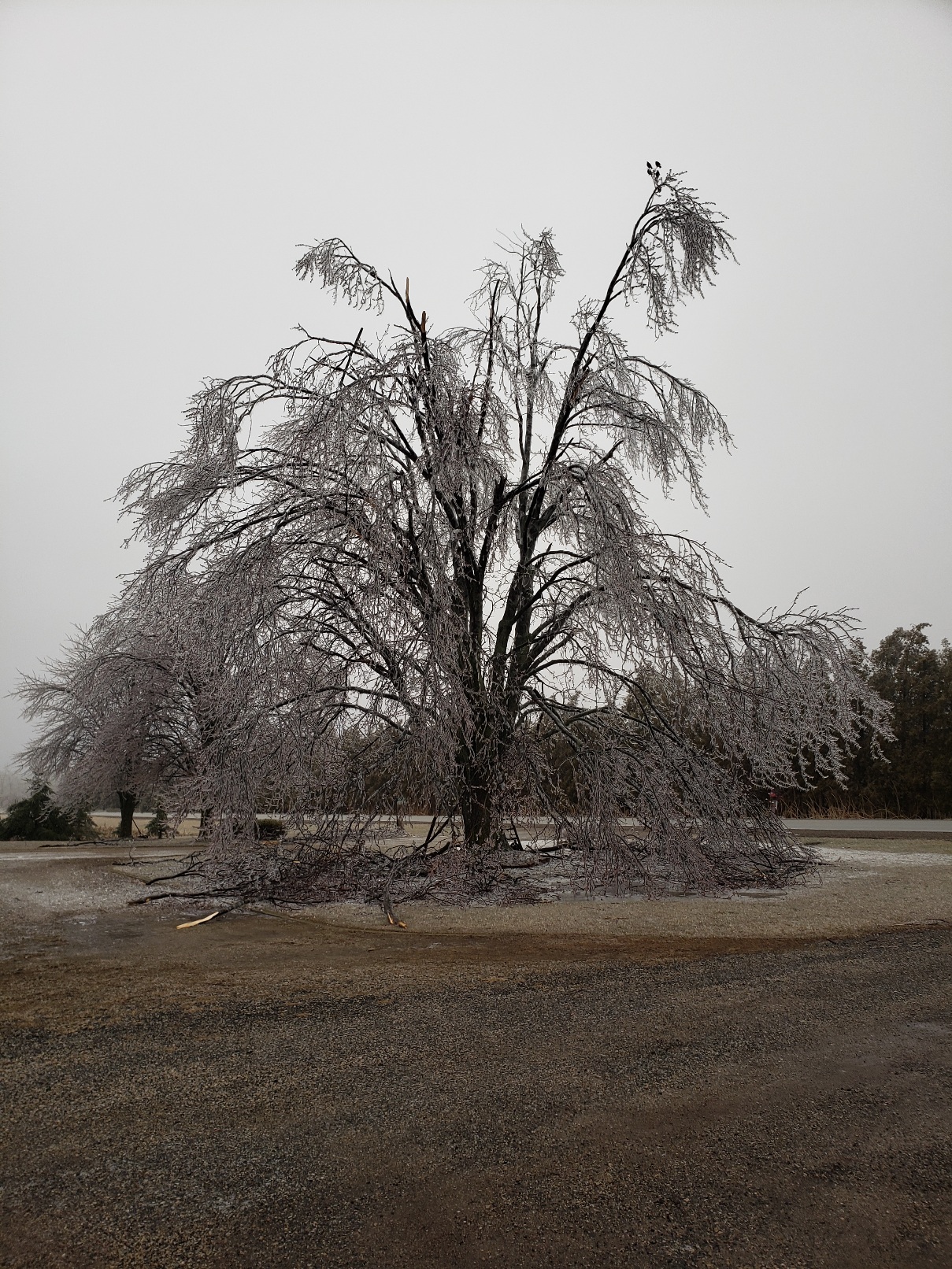
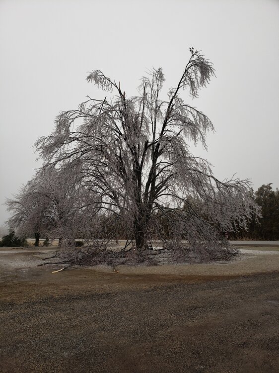
Trends... Locally the ice storm was super moist. Ice accretion at 32 was so impressive and we had so many trees damaged in ways I've never witnessed before.. A few degrees colder aloft and we certainly would of had a boat load of snow on the ground. I'm liking the look of this one. Now if the cold would only hold the course.
-
Elevated surfaces and gravel are glazing over now. About a tenth of an inch accumulations of ice. Temps are 31.8 presently. I wonder if to my west, if there are any asphalt surfaces along tbe i94 corridor icing up ?? I'm on tbe Onario side if that line of ice . Full salt run complete in preparation.
-
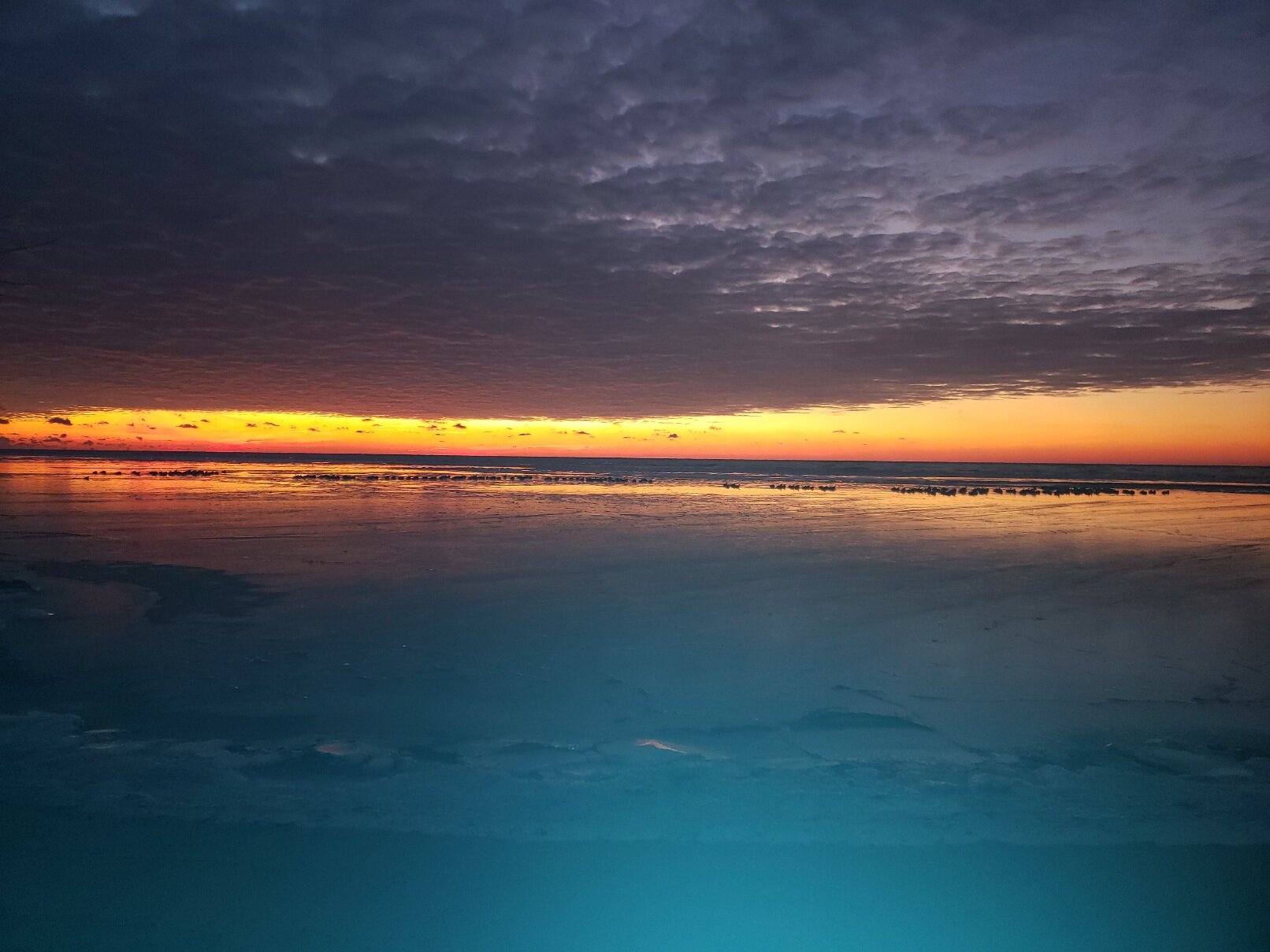
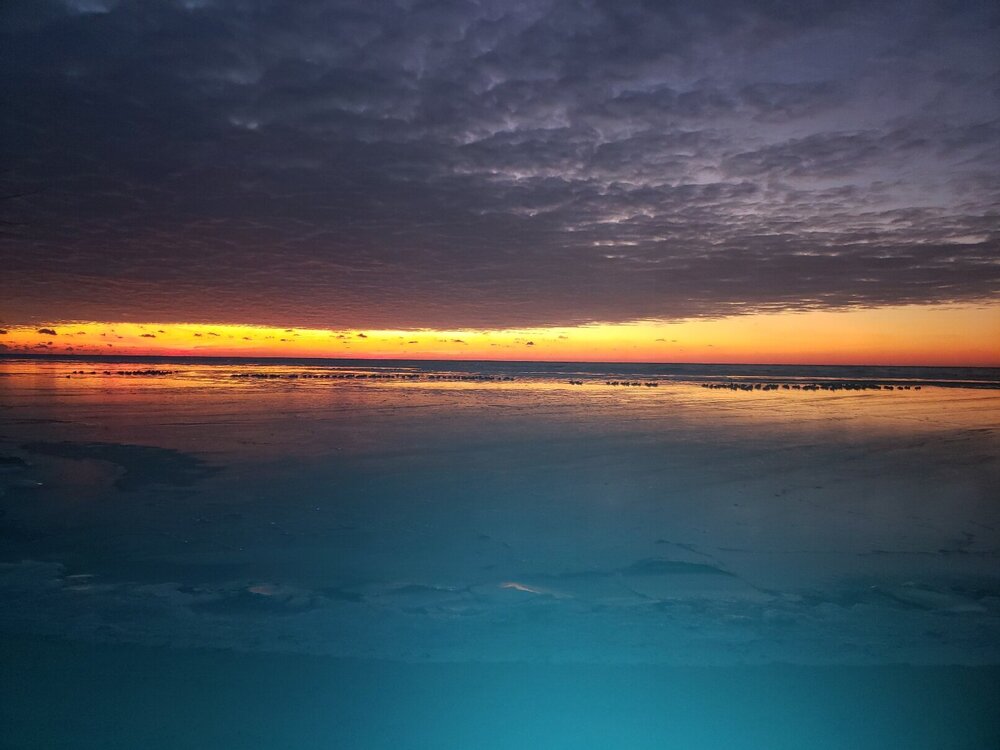
Lake Erie sunrise today, as the shoreline ice is thickening daily. Definitely a stretch of boring cold weather.
-
Locally... I do not recall a single thunder storm this spring. Best was a evening with heat lightning over lake Erie. The rains which do develop are weak sauce with no real battle zone frontal passage.
-
First time of this that I can recall. Full sun and temps of 40+ ate the entire snow pack. Even today in the shade you can find a few remnants of snow..
-
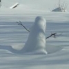
B++ If we could muster one more memorable snow in be very content. One thing which stood out to me. The pattern of spring came one day, with the return of spring and dare I say. Happy weather. The snow dissolved like cotton candy in ones mouth slowly and memorable. The song birds too arrived in this cue.
-
Thinking 18:1 ratios a good bet here.
-
1.3% is correct with ample wide spread medical equipment. Flood the system, to the point 1 in 20 can be properly provided medical services. These early numbers are not sustainable. The economy is in self destruct mode now...
-
This is going to be a long marathon … I would suggest taking some time off to regenerate, for your immunity is decreasing daily. Not the best parameter, in this era of time.
-
Thinking the low grade fever was the send you home reasoning. From my understanding the virus hits like a freight train 103 fevers... I would quarantine myself none the less. Get well... Hope tour not Old's...