mahantango#1
-
Posts
5,058 -
Joined
-
Last visited
Content Type
Profiles
Blogs
Forums
American Weather
Media Demo
Store
Gallery
Everything posted by mahantango#1
-

Central Pa. Summer 2024
mahantango#1 replied to mahantango#1's topic in Upstate New York/Pennsylvania
Being your mower was sitting and not being used for an extended period of time. Are you gonna have to do bodywork on the mower, before you use it again to fix those gaping rusted out sections? -
Central Pa. Summer 2024
mahantango#1 replied to mahantango#1's topic in Upstate New York/Pennsylvania
ABC27 says you might be hung out to dry the rest of the week. -
Central Pa. Summer 2024
mahantango#1 replied to mahantango#1's topic in Upstate New York/Pennsylvania
Was the famous Tamaqua split in effect yet again? Did Bubbler cancel his water delivery, being he got rain? -
Central Pa. Summer 2024
mahantango#1 replied to mahantango#1's topic in Upstate New York/Pennsylvania
Abc27 not impressed at all on rainfall for rest of week their calling for less then .25 They were basically wrong yesterday NWS was the clear winner in my area. -
Central Pa. Summer 2024
mahantango#1 replied to mahantango#1's topic in Upstate New York/Pennsylvania
1.81 rain total for the event. Wasn't expecting that. Total for the month 3.89. Hopefully a lot of yous cashed in on rain yesterday and overnight. -
Central Pa. Summer 2024
mahantango#1 replied to mahantango#1's topic in Upstate New York/Pennsylvania
Yes I guess i was lucky. My son lives about 3 miles as the crow flies from me and he only got .08 from the storm today. The grass was at the point where I probably wouldn't mow this week, but got that .94 this afternoon so it's game on for mowing at the end of this week. -
Central Pa. Summer 2024
mahantango#1 replied to mahantango#1's topic in Upstate New York/Pennsylvania
rainfall for the month so far 3.02 -
Central Pa. Summer 2024
mahantango#1 replied to mahantango#1's topic in Upstate New York/Pennsylvania
That 3-4 in of rain might not be a good thing if it comes in a short period of time. -
Central Pa. Summer 2024
mahantango#1 replied to mahantango#1's topic in Upstate New York/Pennsylvania
Picked up .91 from that thunderstorm. Rain rate was 3.38 in hr. At one point during the storm. -
Central Pa. Summer 2024
mahantango#1 replied to mahantango#1's topic in Upstate New York/Pennsylvania
PM EDT Mon Jul 22 2024 PAZ052-057-221745- Northumberland PA-Dauphin PA- 122 PM EDT Mon Jul 22 2024 ...A STRONG THUNDERSTORM WILL IMPACT SOUTHWESTERN NORTHUMBERLAND AND NORTH CENTRAL DAUPHIN COUNTIES THROUGH 145 PM EDT... At 122 PM EDT, Doppler radar was tracking a strong thunderstorm near Selinsgrove, moving northeast at 20 mph. HAZARD...Wind gusts up to 50 mph and pea size hail. SOURCE...Radar indicated. IMPACT...Gusty winds could knock down tree limbs and blow around unsecured objects. Minor hail damage to vegetation is possible. Locations impacted include... Sunbury, Shamokin, Northumberland, Fairview-Ferndale, Trevorton, Port Trevorton, Klingerstown, Rebuck, Leck Kill, Urban, Stonington, Edgewood, Gratz, Dalmatia, Berrysburg, Snydertown, Herndon, Pillow, and Seven Points. PRECAUTIONARY/PREPAREDNESS ACTIONS... If outdoors, consider seeking shelter inside a building. && LAT...LON 4082 7653 4068 7664 4066 7670 4063 7666 4056 7675 4063 7690 4068 7689 4072 7686 4077 7686 4083 7683 4086 7680 4091 7679 TIME...MOT...LOC 1722Z 204DEG 15KT 4065 7681 MAX HAIL SIZE...0.25 IN MAX WIND GUST...50 MPH -
Central Pa. Summer 2024
mahantango#1 replied to mahantango#1's topic in Upstate New York/Pennsylvania
Thunderstorm here pouring rain, wind striking hard here -
Central Pa. Summer 2024
mahantango#1 replied to mahantango#1's topic in Upstate New York/Pennsylvania
Were long over due for a tropical storm of some sort. We had drought in 2011 and look what happened in September. -
Central Pa. Summer 2024
mahantango#1 replied to mahantango#1's topic in Upstate New York/Pennsylvania
Discrepancies over forecast...again. NWS Today Showers and thunderstorms, mainly after 2pm. High near 81. Calm wind becoming south 5 to 7 mph in the morning. Chance of precipitation is 80%. New rainfall amounts between a half and three quarters of an inch possible. Tonight Showers and thunderstorms, mainly before midnight. Patchy fog before 4am, then patchy fog after 5am. Low around 68. Southeast wind around 5 mph becoming calm in the evening. Chance of precipitation is 80%. New rainfall amounts between a half and three quarters of an inch possible. ABC27 says less than half inch through Wednesday. I wonder if NWS will cave again to ABC27? -
Central Pa. Summer 2024
mahantango#1 replied to mahantango#1's topic in Upstate New York/Pennsylvania
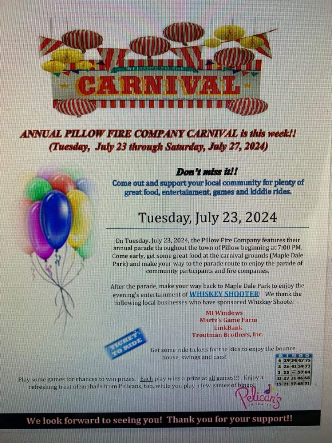
-
Central Pa. Summer 2024
mahantango#1 replied to mahantango#1's topic in Upstate New York/Pennsylvania
Had .10 rain yesterday afternoon. -
Central Pa. Summer 2024
mahantango#1 replied to mahantango#1's topic in Upstate New York/Pennsylvania
Is that $5.00 a month well spent? Your probably paying yearly and getting that DT discount. -
Central Pa. Summer 2024
mahantango#1 replied to mahantango#1's topic in Upstate New York/Pennsylvania
I'll get the sprinkling can ready for ya. -
Central Pa. Summer 2024
mahantango#1 replied to mahantango#1's topic in Upstate New York/Pennsylvania
So you'll be up in my neck of the woods today. -
Central Pa. Summer 2024
mahantango#1 replied to mahantango#1's topic in Upstate New York/Pennsylvania
Will we have any rain today? what about next week, will there be some rain? -
Central Pa. Summer 2024
mahantango#1 replied to mahantango#1's topic in Upstate New York/Pennsylvania
.CLIMATE... -- Changed Discussion -- The average temperature from July 1 to July 19 at Harrisburg is 81.2F which is the 4th warmest month-to-date on record (81.3F in 1966, 2012, and 2020). -
Central Pa. Summer 2024
mahantango#1 replied to mahantango#1's topic in Upstate New York/Pennsylvania
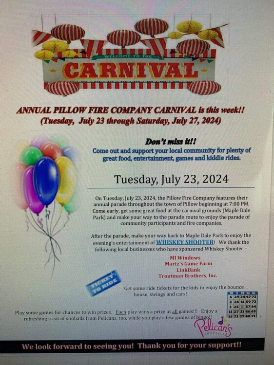
-
Central Pa. Summer 2024
mahantango#1 replied to mahantango#1's topic in Upstate New York/Pennsylvania
56 this morning...been awhile since it was this cool. -
Central Pa. Summer 2024
mahantango#1 replied to mahantango#1's topic in Upstate New York/Pennsylvania
I think you might get a new customer downstate. You know...the one that violates the water restriction, and waters under the cover of darkness. -
Central Pa. Summer 2024
mahantango#1 replied to mahantango#1's topic in Upstate New York/Pennsylvania
I think Voyager could hook you up with deliveries of water. Probably 6200 gallons per delivery. -
Central Pa. Summer 2024
mahantango#1 replied to mahantango#1's topic in Upstate New York/Pennsylvania