

Met1985
-
Posts
14,033 -
Joined
-
Last visited
Content Type
Profiles
Blogs
Forums
American Weather
Media Demo
Store
Gallery
Posts posted by Met1985
-
-
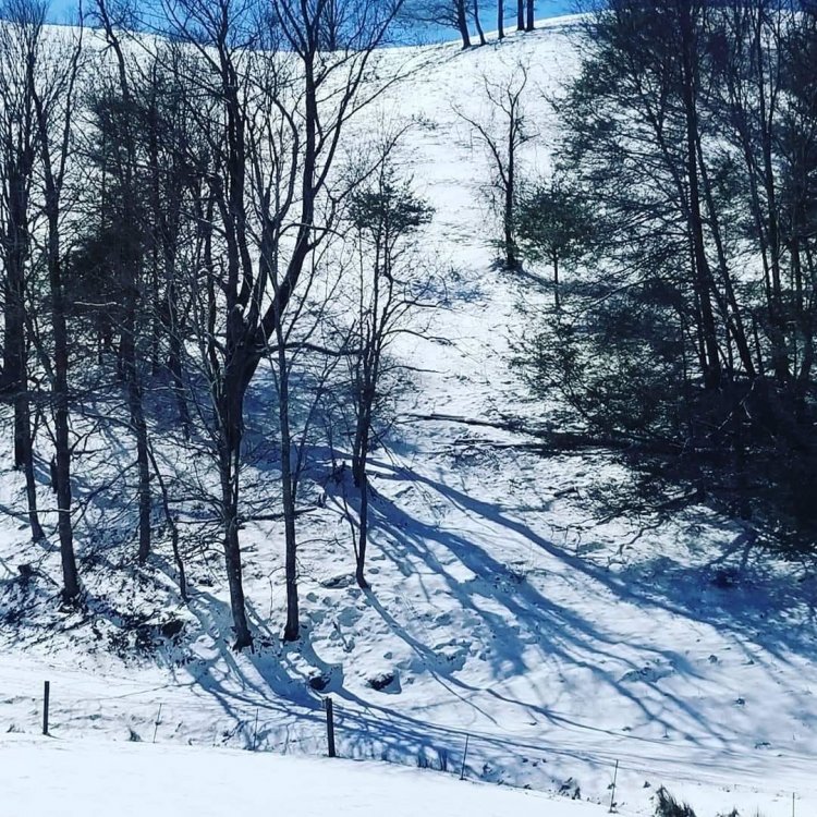
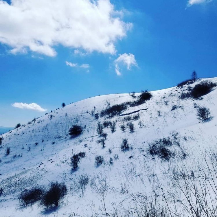
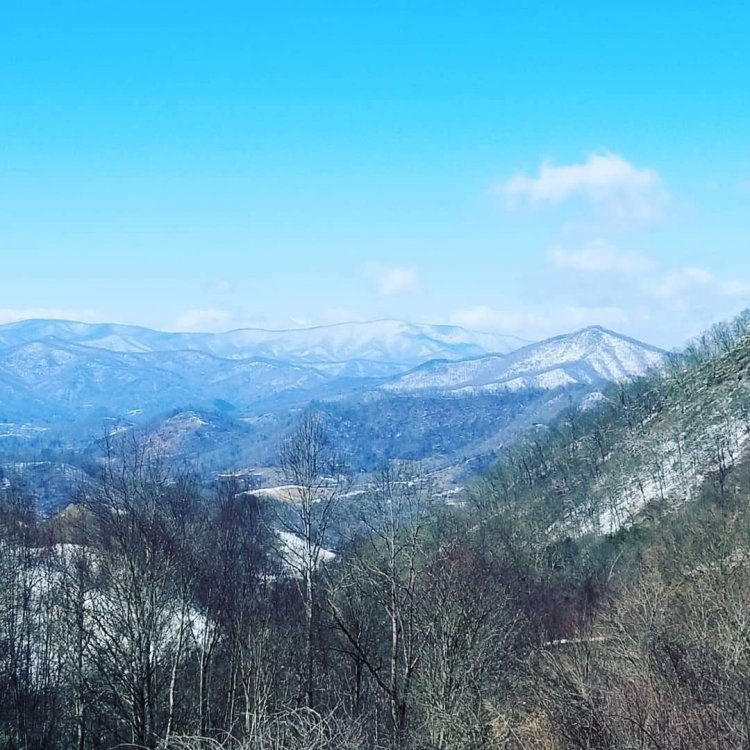
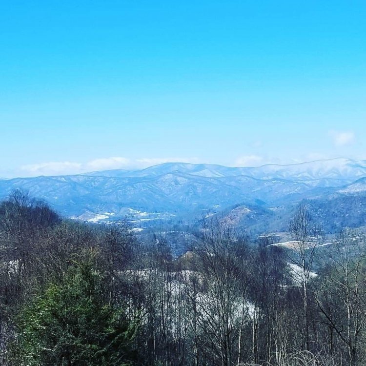
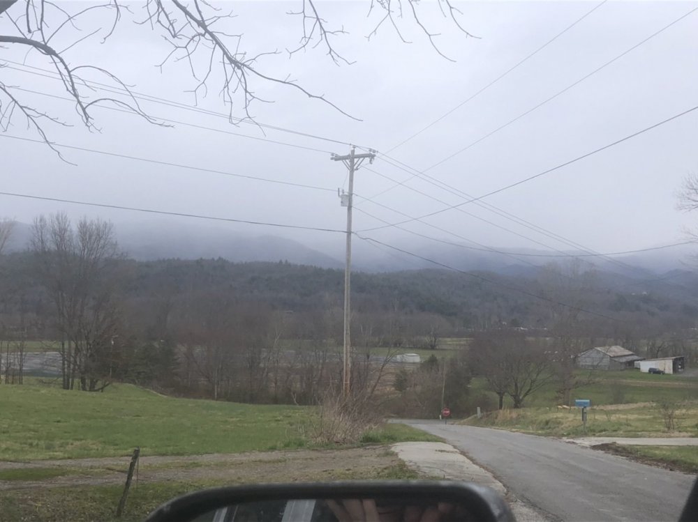
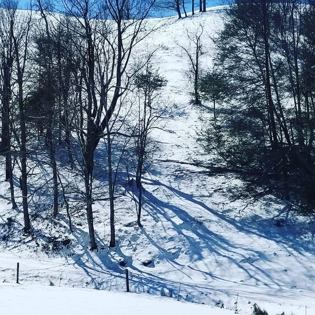
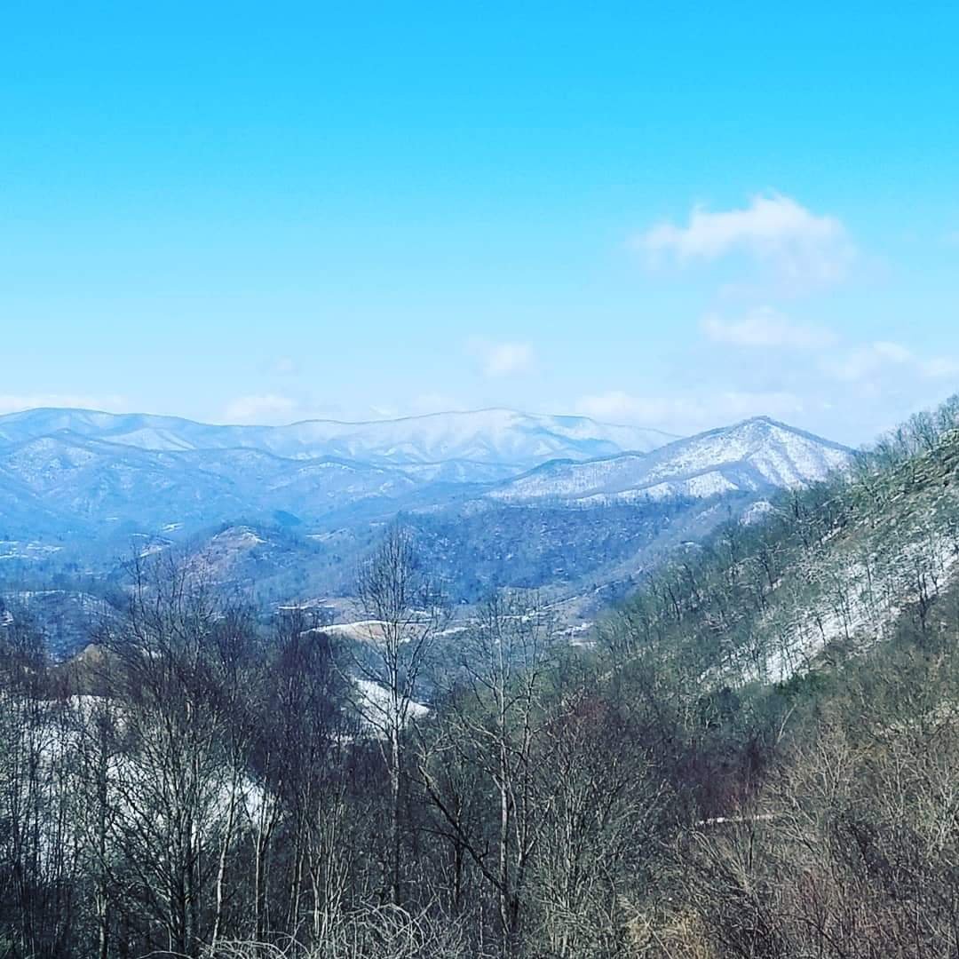
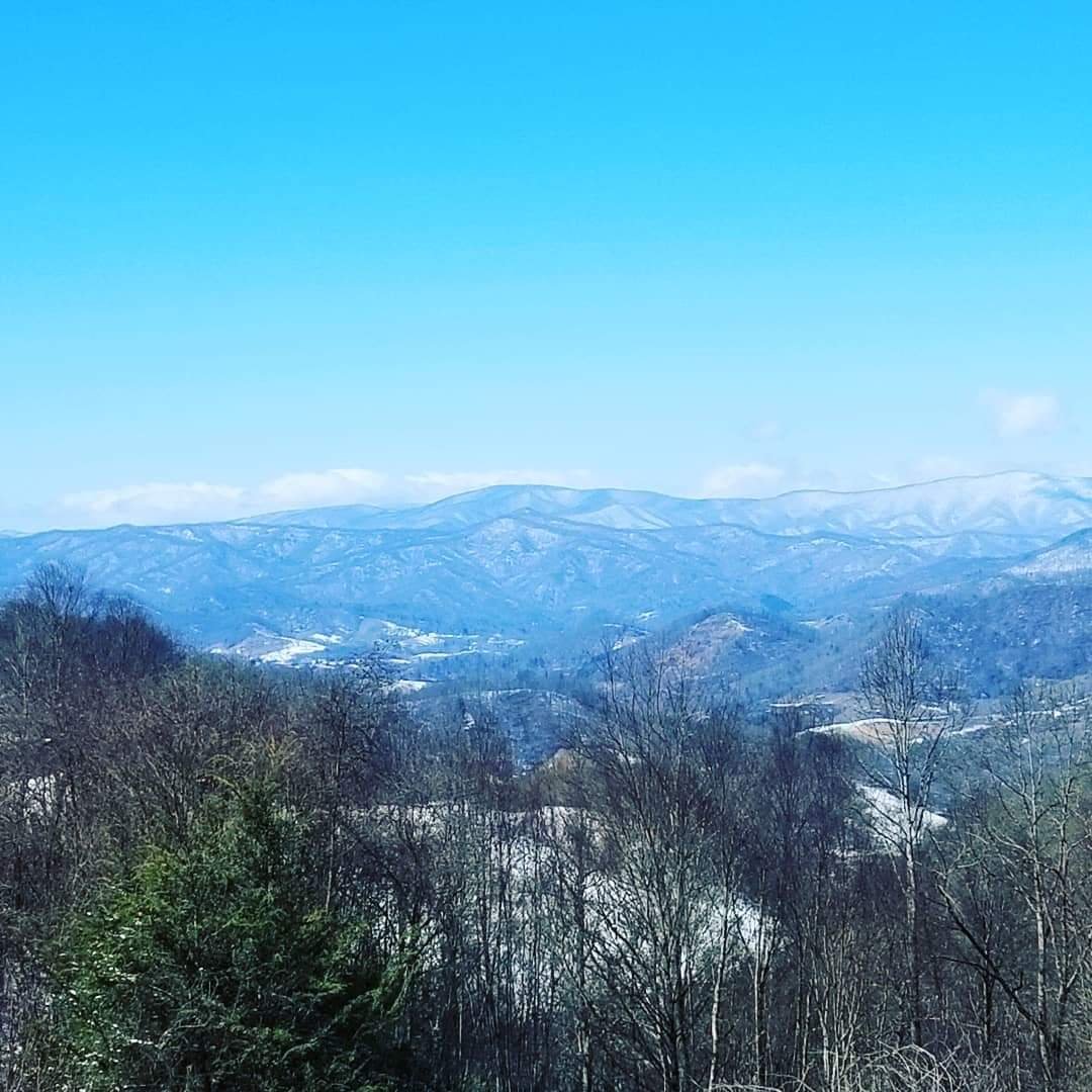
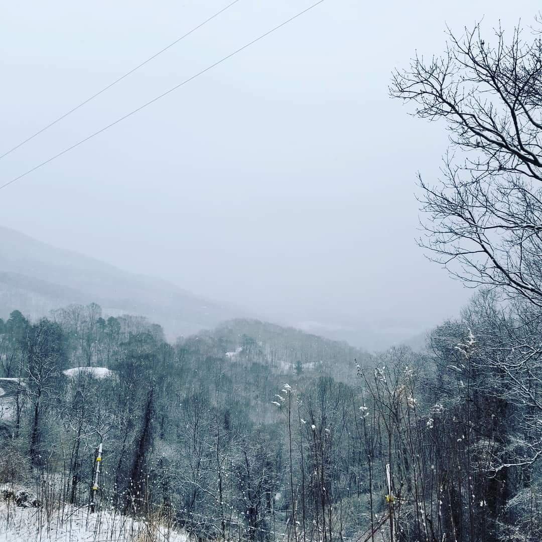
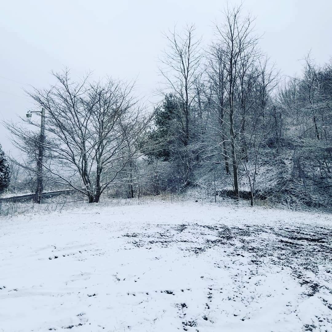
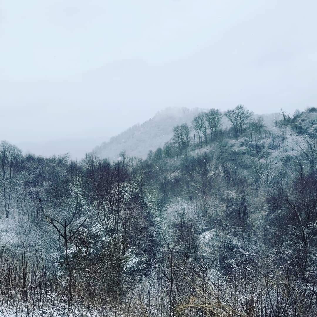
A few pics.
-
 10
10
-
 1
1
-
-
Its been ripping here this morning. We have a total of 3.5 inches and still going. The best snow of the season. Congrats to all!
-
Yep its starting to hammer fellas! Hope all enjoys!
-
The new batch of moisture will be here soon. Maybe a few hours and its go time again.
-
1
-
-
Can you say hammer time!
-
-
We are getting smoked finally.
-
4
-
-
7 minutes ago, franklin NCwx said:
It should pickup later as the 3rd wave comes through
Yeah im thinking the real brunt of it will come in tonight and tomorrow morning.
-
1
-
-
The tops of the mountains are already becoming hazy.
-
Within 15 minutes we went from blue sky to clouds to flurries...
-
2
-
-
Snowing on Plott Creek and up Allens Creek. Lol still blue skies here on this side.
-
2
-
-
Just now, wncsnow said:
Already almost 50 in Marion maybe you guys can get some convective snow showers
I think this first batch is going to be mainly convective it looks like.
-
1
-
-
Just now, WxKnurd said:
Went from filtered sun and seeing mountain tops to this in 15 minutes.
Yeah I think this is going to be sun, clouds, then snow in a short period.
-
3
-
-
Its been an absolute beautiful morning here. No clouds and full sun. Enjoy the snow fellas!
-
Just now, Buckethead said:
I just drove from downtown Asheville to my house. Almost perfectly clear the entire way until I got about 5 miles from my house, but looking back to the west I could see the cloud deck heading in.
Sent from my SM-G970U using Tapatalk
Oh yeah its coming. Its cool seeing how sharp the cloud deck is coming in. In these type of events just a few miles can mean so much in accumulations.
-
The cool thing about this is the initial batch of moisture will come in from the west but then I think we will get a more NW flow after that like maybe this evening and tonight.
-
1
-
-
Lol clear as a bell on this side of the county. I do poorly in westerly flows.
-
The deal with the NWF is that you have moisture then the mountains make there own moisture. Sometimes its a wait and see game because there are so many pieces that are being put together to cause upslope snow here.
-
Ward if you have anything to add or MOTO then chime in. I kind of just rambled a bit.
-
4 minutes ago, Buckethead said:
Is the 32km better in these situations than the finer grid versions? I always thought the 3km and 12km would handle these situations better with variations in topography and their finer resolution, and I take of mean of what all three show...but I could be wrong...and if I am I'd like to know!
You know with these type of events and the topography of our landscape it is really hard to nail down these localized type events. For the most part I do like you are talking about. Take a mean average of the models and go from there. The problem is that the NWF can do wonders enhancing the flow and really dumping in certain areas especially all the micro climates we have and throw in drastic changes in elevation in a short range then it makes things that much harder. Thats why the NWS kind of broad brushes us with there forecast. Its just too complex to nail down just one site at a time especially with specific wind trajectories, which can make the difference from me getting 4 inches to just 1 inch. Upslope snow here is one that is ever changing during the event and can be a real pain to forecast not to mention looking at the layers of the atmosphere to figure out just how much moisture is there to really get the flow going or not going.
-
4
-
-
Not a bad forecast at all. Not impressed by the 18z NAM run but everything looks to be game on from here on out.
-
1
-
-
Avery-Madison-Yancey-Mitchell-Swain-Haywood-Graham-
Northern Jackson-
Including the cities of Ingalls, Banner Elk, Newland, Faust,
Mars Hill, Marshall, Walnut, Allenstand, Hot Springs, Luck,
Swiss, Burnsville, Celo, Micaville, Ramseytown, Busick,
Spruce Pine, Poplar, Alarka, Almond, Bryson City, Luada, Wesser,
Waynesville, Waterville, Canton, Cruso, Cove Creek, Robbinsville,
Stecoah, Cullowhee, Tuckasegee, and Sylva
250 PM EST Thu Feb 27 2020

...WINTER WEATHER ADVISORY IN EFFECT FROM NOON FRIDAY TO NOON EST
SATURDAY...

* WHAT...Snow expected. Total snow accumulations of 2-4 inches,
  with peaks above 5000 feet seeing up to 6-8 inches.

* WHERE...Mountains of western North Carolina.

* WHEN...From noon Friday to noon EST Saturday.
-
1
-
 1
1
-
-
I might be wrong but we are practically into March which makes a big difference and also the ground is very warm for the season we are in. With the combined rain, warmth, and getting into pre spring things work against us a lot at this time of the year.
-
Surprisingly the euro looks good for tomorrow into Saturday.
-
1
-


2019/2020 Mountains and Foothills Fall/Winter Thread.
in Southeastern States
Posted
Yeah I was reading from the NWS in Maine that was saying our longest cool stretch was in November and our warmest stretch was in winter. A very odd season for sure.