Thunderblizzard
-
Posts
1,400 -
Joined
-
Last visited
Content Type
Profiles
Blogs
Forums
American Weather
Media Demo
Store
Gallery
Posts posted by Thunderblizzard
-
-
GFS looks a bit less zonked than the 12z run. Big hit still.
-
The GEFS seem like a pretty solid improvement from 18z.
-
Pretty cold on the GFS. Looks like the CMC got quite a bit warmer compared to the 12z run though.
-
-
Certainly well south of 12z this run on the Euro.
-
Surface conditions are quite bad but I’m not seeing the same orange sky look as yesterday.
-
The smell of the smoke is absurdly strong here, with a distinct orange hue in the sky. Can't recall it being this bad the last few times in previous years.
-
Tons of loud cracks of thunder last night... woke up more than once from it. Another heavy burst of rain currently.
-
 1
1
-
-
Definitely hail here... torrential downpours and lots of lightning at the moment.
-
91 degrees here. Insane for April 14th.
-
Didn't really get much more than some heavier rain for a short while. No thunder or wind beyond a little breeze.
-
Up to 64 here.
-
Winds are definitely starting to kick up here.
-
0.3" new on cold surfaces here in the past couple of hours from that little band. Looks like that's it as it's just down to flurries.
0.9" storm total including the 0.6" from this morning. @The 4 Seasons
-
1
-
 1
1
-
-
Probably the heaviest snow since this morning. Too bad it doesn't have much longer.
-
1
-
-
It's actually coming down at a decent clip again... coating cold surfaces up a little with the temperature slightly lower at 33.
-
11 minutes ago, WinterWolf said:
We had shit rates. Even if it was 15 degrees, we wouldn’t have accumulated much either(1/4” maybe if it was cold and below freezing). It just snowed to lightly…I mean spitting a few flakes and sleet pellets ok day, despite being in the solid snow echos most all day. Just a Ridiculous POS!
At least where I'm at there was moderate snow (white rain) on and off for a while after 1:30 PM or so... just a junk system down here. Nice hour around 9 AM or so and that's it.
-
1
-
-
9 minutes ago, Spanks45 said:
I literally have 0 inches on the ground right now....my 1 inch that fell earlier in the day has completely melted. I have never seen it snow all day long and have nothing to show for it by the end of the day. The best example of white rain that I can think of....still snowing and 34⁰. This winter can move along now.
I've seen something similar before over here... in January of this year.

Just painful to watch. Temperature has been basically locked at 34 with a few short ticks up to 35 with mostly white rain since around 10 AM. Had some brief accumulating snow just prior to that.
-
1 hour ago, The 4 Seasons said:
this will change A LOT but heres a preliminary map based on reports so far. The reports are from varying times so take it with a grain of salt.
Ill do a full map when its all said and done and probably one for CT/MA/RI with that new map i made for SNE

0.6" here this morning followed by hours and hours of 34-35F white rain. Brown, wet ground now. 220 ft elevation.
-
 1
1
-
-
Tons of white rain here with the temp locked at 34.
-
Keeps alternating between solid moderate snow and practically flurries in like 15 second intervals. Strange.
-
Getting some actual light snow falling again after hours of snizzle.
-
Radar filled in a bit here but you wouldn’t know it by looking outside… snizzle continues.
-
Brutal slot… snizzle at 34. Can see my 0.6” slowly melting.

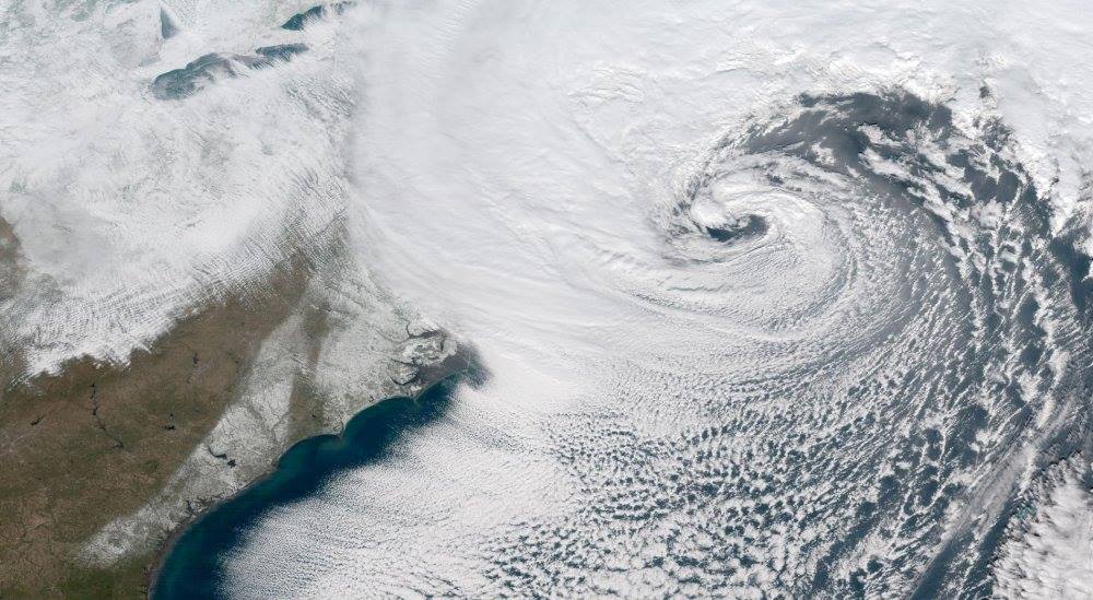
Monitoring first regional significant winter impact event. Magnitude likely tempered. At this time NE PA/SE NY and SNE primarily. Jan 7/8.
in New England
Posted
RGEM seems a little stronger with the CCB compared to 12z