FLweather
-
Posts
2,419 -
Joined
Content Type
Profiles
Blogs
Forums
American Weather
Media Demo
Store
Gallery
Everything posted by FLweather
-
The December to Remember 7th-8th blue turd winter threat thread.
FLweather replied to lilj4425's topic in Southeastern States
Around 700 and 800mb? Nam was showing that yesterday on the soundings in Person County. Above and below cold enough. Other than warmish BL temps. -
The December to Remember 7th-8th blue turd winter threat thread.
FLweather replied to lilj4425's topic in Southeastern States
That one big storm in Jan 2010. Got roughly 8-10" can't remember. But during the height of the storm that was mostly pingers. Trust me. If RDU has mix issues so does Roxboro. Just takes less time to recover from it -
The December to Remember 7th-8th blue turd winter threat thread.
FLweather replied to lilj4425's topic in Southeastern States
Robert throwing out his first guess map too for his members. Interesting though he mentioned maybe time to throw out global models for such small scale system. Guess he talking about short range/medium range models. -
The December to Remember 7th-8th blue turd winter threat thread.
FLweather replied to lilj4425's topic in Southeastern States
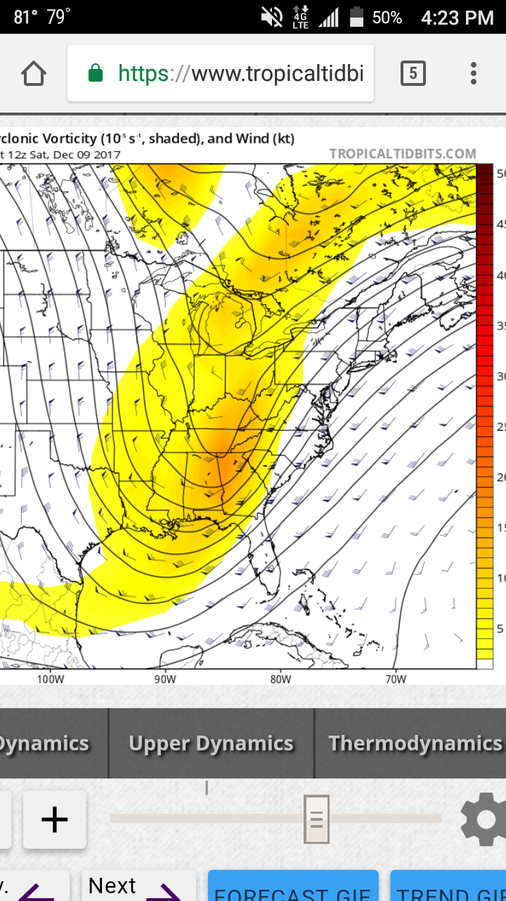
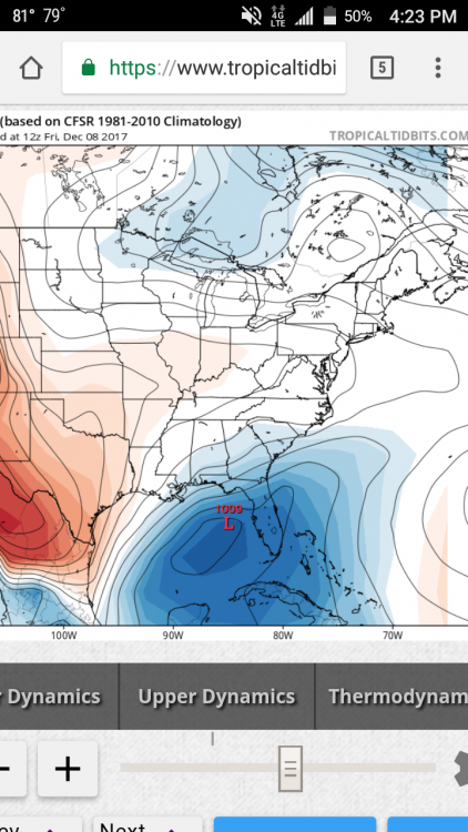
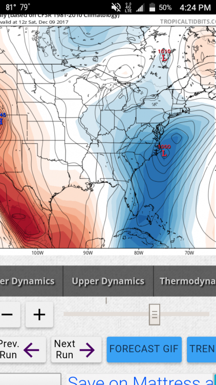
Not all of that is frozen. Alot of that falls as rain. But to continue the Jma. H5 slightly negative.
-
The December to Remember 7th-8th blue turd winter threat thread.
FLweather replied to lilj4425's topic in Southeastern States
The is no warm nose. Issue is marginal BL temps. The lowest 1500 feet or so. Above that all the data if seen supports snow. It's either gonna rain or snow. -
The December to Remember 7th-8th blue turd winter threat thread.
FLweather replied to lilj4425's topic in Southeastern States
I thought of that storm too. I think I know what you talking about. Charlotte area had thundersnow -
The December to Remember 7th-8th blue turd winter threat thread.
FLweather replied to lilj4425's topic in Southeastern States
With the EPS ensembles included? Imo this showing a early season I85/I65 special. -
The December to Remember 7th-8th blue turd winter threat thread.
FLweather replied to lilj4425's topic in Southeastern States
Lee side trough showing up. Lee side snow shadow and enhancement in precip probably. From Charlotte to GSO/WS east with the enhancement of lift!? Not the first run of GFS being east and showing a Lee side trough.