

JLPhill
-
Posts
16 -
Joined
-
Last visited
Content Type
Profiles
Blogs
Forums
American Weather
Media Demo
Store
Gallery
Everything posted by JLPhill
-
2026-2027 Record-breaking El Nino
JLPhill replied to Stormchaserchuck1's topic in Weather Forecasting and Discussion
How much is this complicated by the fact that some of the feedbacks reinforcing El Niño depend on absolute SST ? Convection becomes much more favorable once SSTs reach roughly 27–28C, and when that convection shifts eastward it can weaken the trade winds and reinforce El Niño. -
2026-2027 Record-breaking El Nino
JLPhill replied to Stormchaserchuck1's topic in Weather Forecasting and Discussion
I follow this forum but don’t post much, but I had a question about the relevance of standard metrics for this Niño. With this ninobeing so east-based, isn’t it likely that the traditional measure of strength (the 3.4 anomaly) significantly underestimates the impact on the atmosphere? Just from an anomaly × surface area perspective, I think the 3.4 region is typically closer to where the greatest anomalies are. Now it’s not even close....the eastern regions are almost 2 degrees more anomalous. Are there alternative measures, perhaps ones that integrate the anomaly over the full area across all ENSO regions? And do those correlate better with atmospheric impacts? -
100 in huntington station. The seabreeze, which has been modeled perfectly by the HRRR, is crossing the northern state.
-
I hit 90.3 in Huntington Station, which is consistent with a 91 just a few miles away in Commack.
-
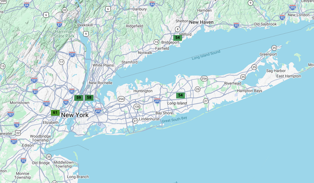
This is great data - i didn't realize how much warmer relative to normal it was in New Jersey PA. I'm on that site now, but can only see basic stations (ISP, NYC, LGA). How do you get it to show the broader set of stations you're displaying?
-
I don't disagree with that. I think my expectations are appropriately low given the climate. We could also live in Boston.
-
I'm a longtime follower and infrequent poster who grew up on the South Shore but now lives in Huntington Station. I'm a little confused by the complaints about this spring. Maybe it's because I'm used to the relentless sea breezes on the South Shore, but this spring has been well above average in terms of temperature and overall weather. My ambient station, which is well-sited and typically runs highs somewhere between LGA and FRG, is showing an average high temperature of 57.3 from March 1 through today: 52.6 in March and 63.4 in April. That feels closer to a Central Jersey spring than a Long Island one. Even the data that @bluewave shared shows JFK/ISP at 55.5/54.3 average spring-to-date, versus normals of 52.7 and 51.9 with precip below normal.