

Radtechwxman
-
Posts
2,327 -
Joined
-
Last visited
About Radtechwxman

- Birthday 10/16/1988
-

4/2-4/3 Potential Major Severe WX Outbreak
Radtechwxman replied to Geoboy645's topic in Lakes/Ohio Valley
Im just not overly impressed by this setup and definitely not feeling as aggressive as spc is. Low deepens quick Tues and is well into occlusion process by Wed. Low also very far north. There is good flow over warm sector but feel like sfc winds will tend to veer without secondary low development. Models look very linear right now and morning convection could definitely be an issue esp with northward extent. It does look more cellular further south and there is some orthogonal nature to shear vectors off CF. But the more south you go, the more removed from the low you are. Just not 100% on board with a big tornado threat yet. -
Thank you! Glad someone has a brain. Apparently chasers need spotter training again. Saw multiple reputable chasers calling obvious gustnadoes tornadoes.
-
March 14-15 Severe Weather Outbreak
Radtechwxman replied to HillsdaleMIWeather's topic in Lakes/Ohio Valley
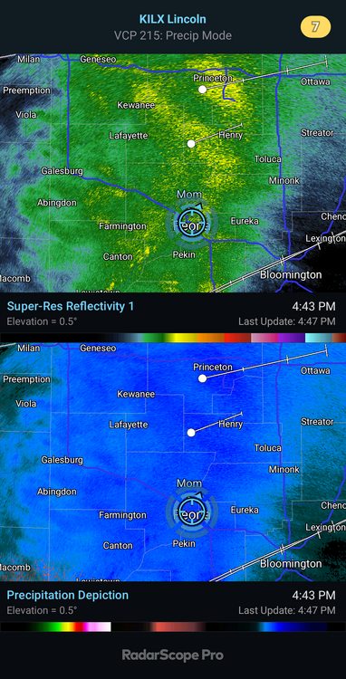
It's a shame dew points mixed out so bad. Hrrr modeled that well. Moisture so shallow and we mixed pretty deep today. Went from 55 dew earlier to 44. Showing recovery possible last second. Feel like best tornado threat will be I72 south and likely I70 south. Hoping line organizes more so I can at least get damaging winds. -
And gfs and euro both were only showing temps around 70. That's definitely underdone
-
Well this system was an epic bust and one next week misses way south. So over winter. Bring on spring.
-
It did come down nicely here. Good rates. Relatively low visibility. If it was moving slower we easily could of got 2-4in.
-
Come on 0z gfs! My only hope. Ha
-
Yeah you guys are in for a great storm. Mad jelly
-
18z euro looks like hot garage
-
Getting nice rippage with WAA snow. Hrrr had it missing me. Wish it was moving slow because could dump a lot fast. Hoping maybe a sign we will get surprised tomorrow.
-
Wish that could be IL but apparently never going to happen this winter
-
That euro run was trash. Crazy we are so close to event and models all over the place. How did euro do with last storm?
-
I thought the exact same thing. Maybe moisture getting robbed by convection. I definitely don't dig the look of gfs for me.
-
I'm happy for the potential for you Michigan folks. But wish I could squeak in one good snow. Waa snows definitely look to be non event here. My only hope is the wraparound.
-
Well the rich get richer on 12z hrrr. Miss waa snow and deformation band takes a while to change over here. Would be nice to catch a break for one system. Need it se a bit more but that's unlikely.


