CNY_WX
-
Posts
2,717 -
Joined
-
Last visited
Content Type
Profiles
Blogs
Forums
American Weather
Media Demo
Store
Gallery
Everything posted by CNY_WX
-
Blue skies in Brewerton.
-
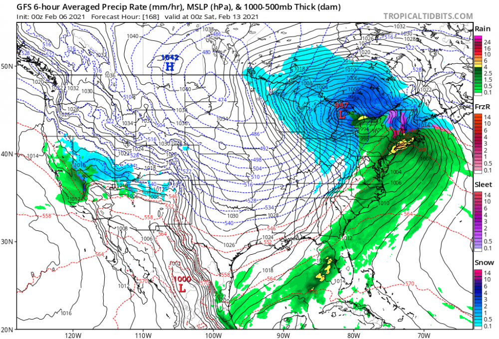
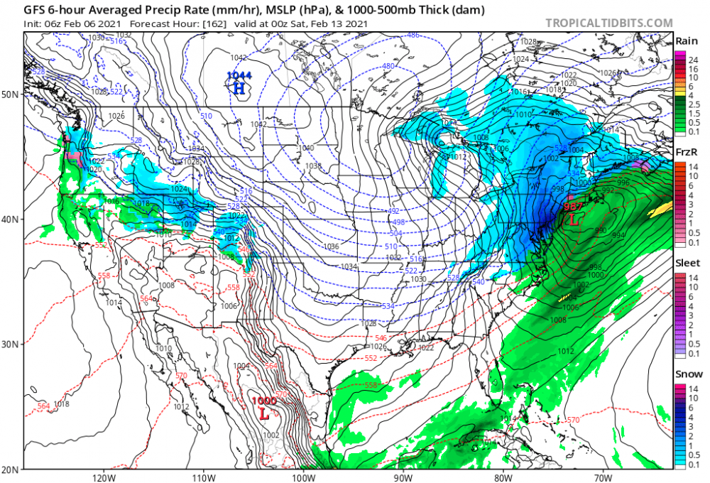
The 6Z GFS just jumped the late week storm 500 miles to the east.
-
The cold front just went through Fulton. Their winds went from 190 to 240 so their temperature should start to fall. My weather station is reading 50 right now although I know with the sun out it’s probably at least 5 degrees above the actual temperature.
-
Down to 16 already.
-
Could that be an event for Matt, Max, Freak and me?
-

Synoptic Snowstorm 2/1-2/4
CNY_WX replied to BuffaloWeather's topic in Upstate New York/Pennsylvania
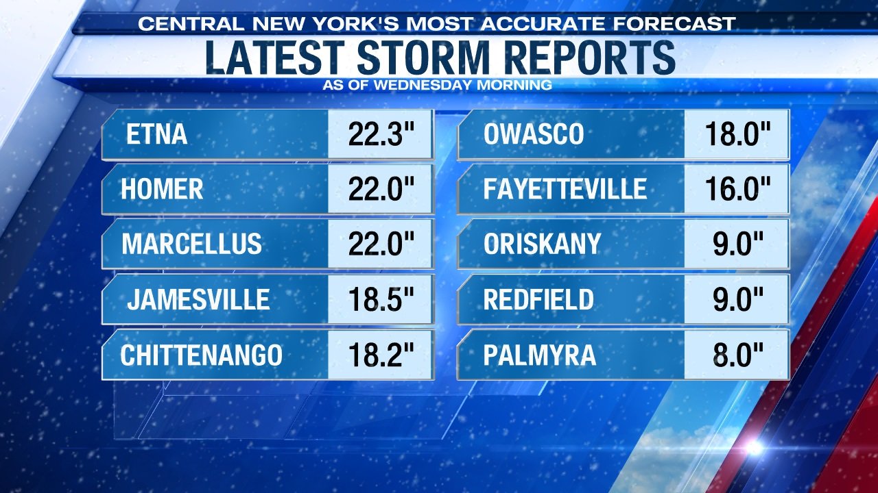
If you look at today’s climate summary for Syracuse the total snowfall for the month, which is all from the storm, is 10.1 inches. Today’s 1.8 inches is included. -
Must be old data, Syracuse is at 47.6 right now. Buffalo is at 46.5. Rochester 40.6. Binghamton 77.4.
-
Synoptic Snowstorm 2/1-2/4
CNY_WX replied to BuffaloWeather's topic in Upstate New York/Pennsylvania
The official storm total from Syracuse is 10.1 inches. -
Synoptic Snowstorm 2/1-2/4
CNY_WX replied to BuffaloWeather's topic in Upstate New York/Pennsylvania
Good for you. I think I ended up in last place in the Syracuse portion of this forum with just 2.6 inches in over 12 hours. Had decent returns over me all night but only had light snow at the surface. -
Synoptic Snowstorm 2/1-2/4
CNY_WX replied to BuffaloWeather's topic in Upstate New York/Pennsylvania

-
Synoptic Snowstorm 2/1-2/4
CNY_WX replied to BuffaloWeather's topic in Upstate New York/Pennsylvania
That map is actually generous for my location. I’m right where I81 crosses the border between Onondaga and Oswego counties (just above the “c” in Syracuse) so it’s easy to find me. I measured 7.2 inches for the entire event, about half of the city of Syracuse. -
Synoptic Snowstorm 2/1-2/4
CNY_WX replied to BuffaloWeather's topic in Upstate New York/Pennsylvania
I just looked out and it’s snowing harder now than since yesterday morning. -
Synoptic Snowstorm 2/1-2/4
CNY_WX replied to BuffaloWeather's topic in Upstate New York/Pennsylvania
To make matters worse I’ve been under decent returns for over 12 straight hours. 2.6 inches in 12 hours is a little less than 1/4 inch per hour average. Pretty pathetic. -
Synoptic Snowstorm 2/1-2/4
CNY_WX replied to BuffaloWeather's topic in Upstate New York/Pennsylvania
Just measured, too. 2.6 inches overnight and 0.8 during the day yesterday so 3.4 inches total on 0.17 inches LE, exactly 20:1. It’s still snowing lightly. -
Synoptic Snowstorm 2/1-2/4
CNY_WX replied to BuffaloWeather's topic in Upstate New York/Pennsylvania
Don’t forget The Sherwood Inn and the Bluewater. Several multi million dollar homes on the lake including, I believe, a $6 million house purchased in the last few years by David Muir anchor of World News Tonight on ABC, a local boy from Syracuse who made it big. -
Synoptic Snowstorm 2/1-2/4
CNY_WX replied to BuffaloWeather's topic in Upstate New York/Pennsylvania
I have stronger returns over me and about 5 flakes/minute falling. -
Synoptic Snowstorm 2/1-2/4
CNY_WX replied to BuffaloWeather's topic in Upstate New York/Pennsylvania
Sounds like a Greek tragedy. -
Synoptic Snowstorm 2/1-2/4
CNY_WX replied to BuffaloWeather's topic in Upstate New York/Pennsylvania
Snow has finally picked up here. The heaviest returns are just to my north. I wonder if the radar returns represent where the snowflakes are leaving the cloud base then the actual heavier snow amounts are displaced several miles downwind. -
Synoptic Snowstorm 2/1-2/4
CNY_WX replied to BuffaloWeather's topic in Upstate New York/Pennsylvania
I understand not wanting to pay to get screwed, lol. -
Synoptic Snowstorm 2/1-2/4
CNY_WX replied to BuffaloWeather's topic in Upstate New York/Pennsylvania
There’s several “blobs “ of heavier snow upstream. It will be interesting to see how they will miss me. -
Synoptic Snowstorm 2/1-2/4
CNY_WX replied to BuffaloWeather's topic in Upstate New York/Pennsylvania
Wow did I read that right? -
Synoptic Snowstorm 2/1-2/4
CNY_WX replied to BuffaloWeather's topic in Upstate New York/Pennsylvania
Where have I heard that before? -
Synoptic Snowstorm 2/1-2/4
CNY_WX replied to BuffaloWeather's topic in Upstate New York/Pennsylvania
How much have you gotten and how much were you expecting? -
Synoptic Snowstorm 2/1-2/4
CNY_WX replied to BuffaloWeather's topic in Upstate New York/Pennsylvania
0.8 inch since 8 AM puts me over 4 inches for the “storm”. I really was only expecting 4-6 inches so I’m just about there. Hope I can make it to 6 inches. -
Synoptic Snowstorm 2/1-2/4
CNY_WX replied to BuffaloWeather's topic in Upstate New York/Pennsylvania
The snow has picked up in intensity in the last few minutes. We’ll see how long this lasts. After the burst of heavy snow between 5-8 AM the rest of this morning has been snow of varying intensity. Probably getting close to 4 inches for the storm. Another thing is the lack of wind right now. I would expect it to pick up later with hopefully some lake enhancement.