Rjay
-
Posts
28,114 -
Joined
-
Last visited
Content Type
Profiles
Blogs
Forums
American Weather
Media Demo
Store
Gallery
Everything posted by Rjay
-
Pretty much everyone was wrong including you.
-
By "someone" I meant lots of people lol
-
We have a guy who used to measure puddles and then would report his rain totals via ruler.
-
Soooo, someone seems to be on the verge busting pretty badly right now.....
-
There is no soft spot. We love you guys but half the subforum is insane and we're sick of babysitting.
-
If this is happening then people need to send screenshots or hit the report button. It's pretty simple.
-
You have good reason with the PM nonsense. If he's sending vile PMs you need to show me and/or Bx or report them using the report button.
-
It's possible I'm taking the gag reflex thing out of context but if I'm not, jfc...
-
Snowman19: "it's not going to snow, haha!!! Someone: posts a snow map Response: that sound you all just heard was 19's gag reflux Next response: the models are underestimating this ridge that you seem to have an extreme fetish with. I envision a wonderful wedding for you with the SE Ridge in Bermuda over the summer; you will of course, be the wife. Next response: Hope you die
-
Trolling is one thing. Some of the stuff I've seen lately is on another level.
-
Depending on how much snow a few select locations receive today, there might be a lot of movement in power rankings.
-
If you saw some of the responses he routinely gets before they get deleted you'd probably be appalled.
-
There were several hidden posts that were absolutely insane and people are lucky Bx and I didn't go HAM. ** actually, one was by you. Lol
-
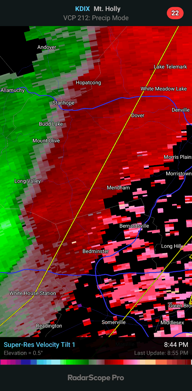
The snowman obsession is concerning. 45 to 37 degrees in 18 minutes.
-
ISP vis down to 1/16 now
-
31 degrees. Visibility is a few hundred feet
-
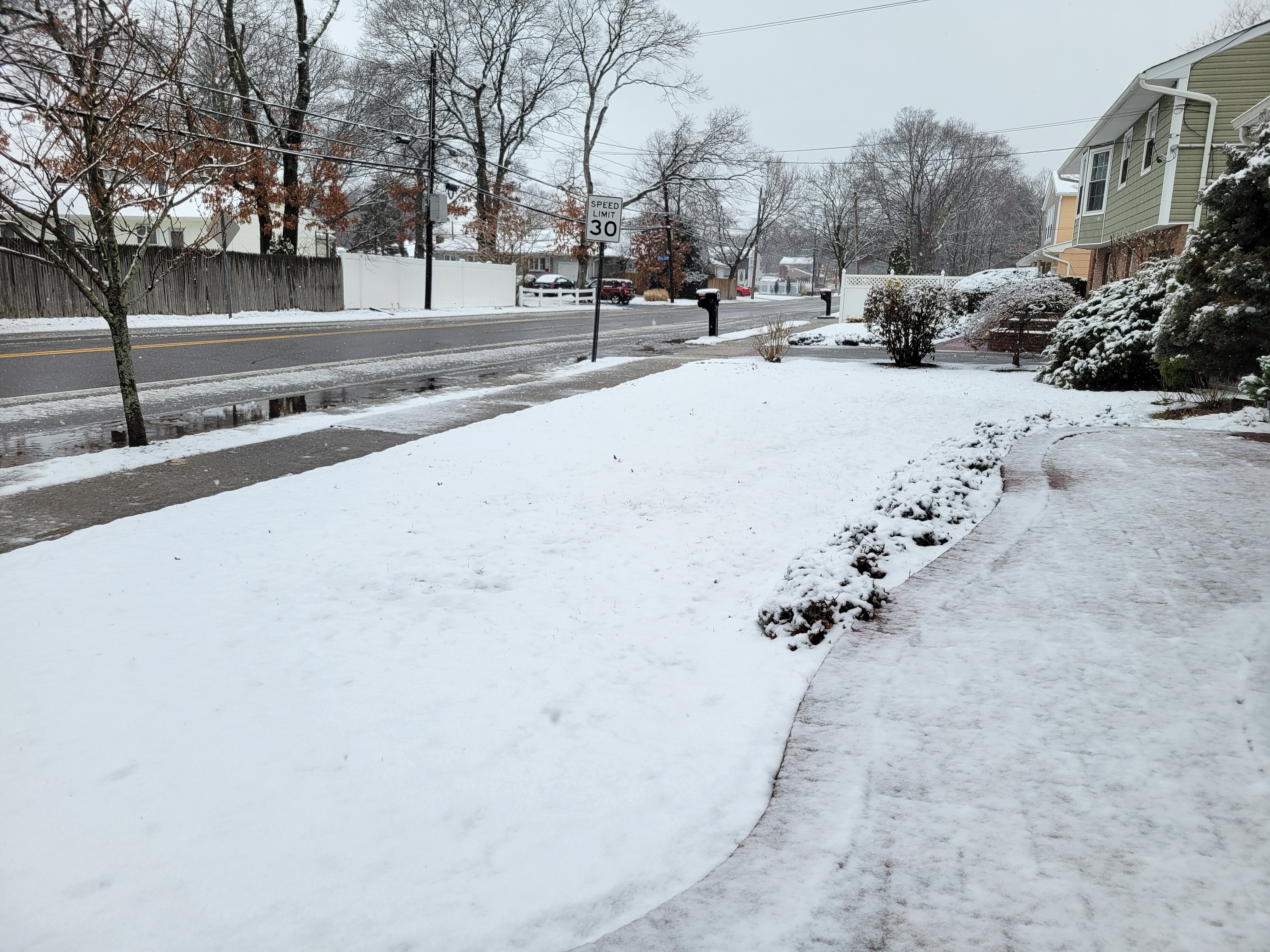
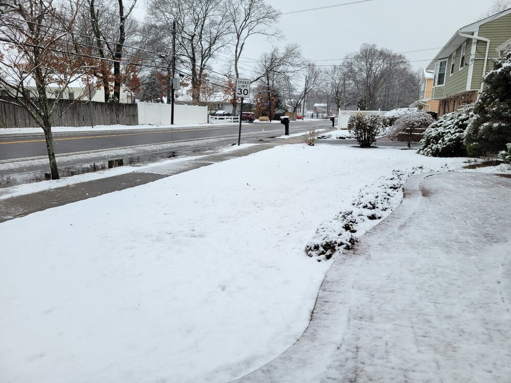
Streets were covered in Holbrook before melting.
-
Just flipped at work too.
-
Same at work in SE Nassau. Still snowing at ISP.
-
There was a coating at my house when I went to work at 7am.
-
And some of y'all think this guy isn't #1...
-
5. Headintheclouds- for letting snowman19 get to him 4. Snowman19- for his continued dedication to telling us it can't snow...ever! 3.- Mr omega- for being the worst 2. LibertyBell- for his deep thoughts on what's considered upstate NY and his continued multiquote issues 1. Metsfan- for thinking Buck Showalter will make a difference